
6250 US Hwy 285, Poncha Springs, CO 81242

Open Daily · Summer 7:30AM–8PM

(719) 539-6089

Facebook Instagram

Category: Travel & EV Guides

Practical guides for travelers passing through Poncha Springs, Colorado on US Highway 285.

  • Winter Emergency Kit and Driving Checklist for Colorado Mountain Passes

    Winter Emergency Kit and Driving Checklist for Colorado Mountain Passes

    Winter driving over central Colorado’s mountain passes — Poncha Pass and Monarch Pass among them, both near Poncha Market in Poncha Springs — rewards preparation more than almost any other kind of road trip. Here’s what to actually pack and check before you go.

    None of this is meant to sound alarming. Thousands of vehicles cross these passes safely on any given winter day. The point of a proper kit and a pre-trip checklist isn’t fear — it’s turning a rare bad-luck scenario (a slide-off, a mechanical issue, a sudden storm) from a genuine emergency into a manageable inconvenience.

    Before You Leave: Vehicle Checks

    • Tires — tread depth and pressure both matter more in snow and ice; check both before a winter mountain drive, not after you’re already on the pass.
    • Battery — cold weather reduces battery performance; an aging battery that’s been fine all summer can fail in genuinely cold conditions.
    • Wipers and washer fluid — use a winter-rated washer fluid that won’t freeze, and replace worn wiper blades before, not during, a storm.
    • Fuel or charge — top off before climbing a pass rather than after; running low partway up a mountain grade is a genuinely bad position to be in.
    • Brakes — have them inspected before winter if it’s been a while; braking demands on long mountain descents are higher than typical city or highway driving.

    Most of these checks take only a few minutes and cost little to nothing if your vehicle is already in reasonable shape — the value comes from doing them consistently before a winter mountain trip rather than only after something has already gone wrong.
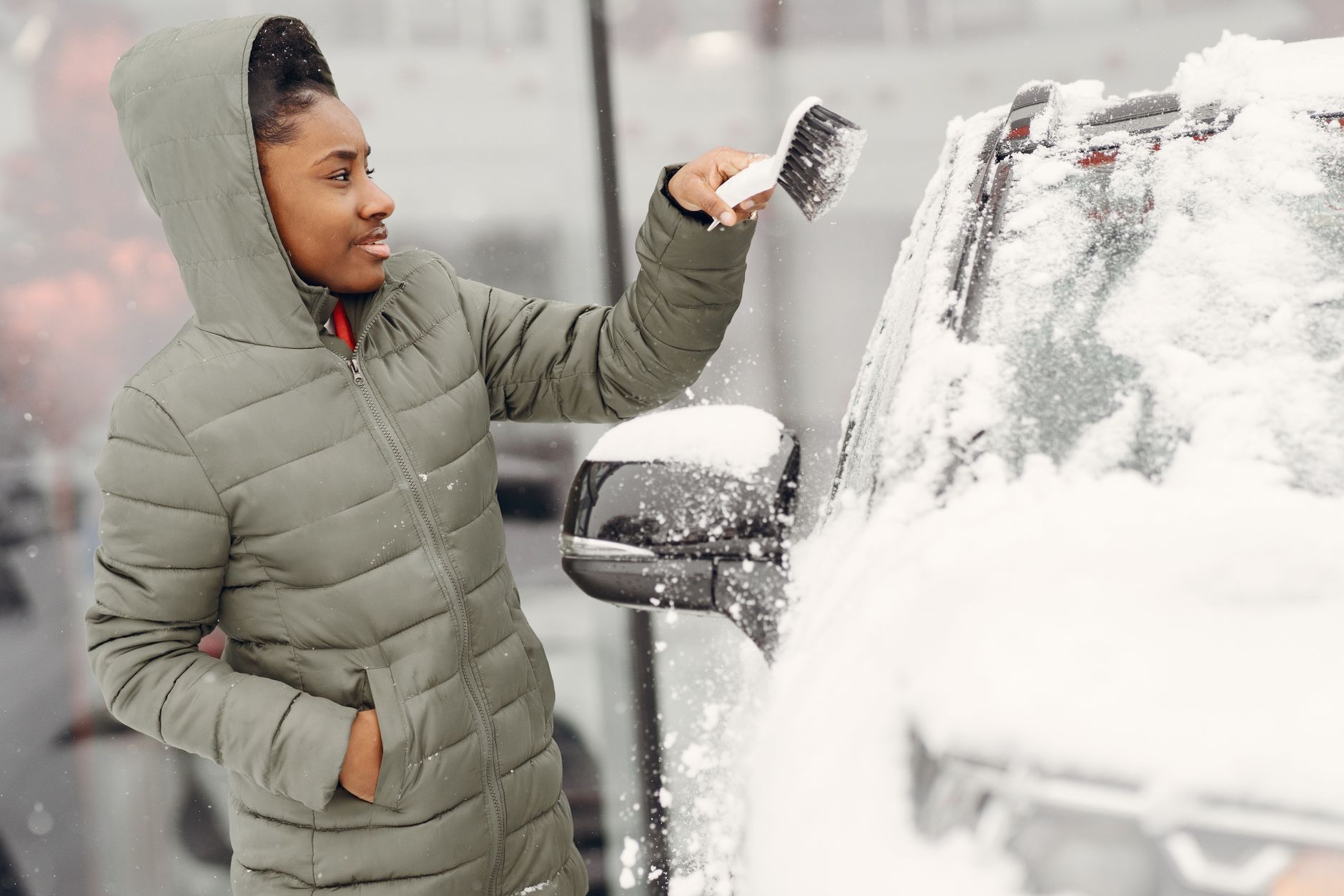
    A person removes snow from a car during winter

    What to Pack: A Winter Emergency Kit

    A basic winter driving kit doesn’t need to be elaborate, but it should cover the realistic scenario of being stopped or stuck for a few hours in cold weather:

    • An ice scraper and small snow brush, kept in the car rather than the garage.
    • Tire chains or traction devices, especially if you’re driving a route with active chain law enforcement in winter.
    • A blanket or extra warm layers, in case you’re stopped without the engine running for an extended period.
    • A flashlight with working batteries.
    • A phone charger that doesn’t depend on the car being on, plus a portable battery pack if you have one.
    • Basic non-perishable snacks and water, in case a delay runs longer than expected.
    • Jumper cables or a portable jump-starter.
    • A small folding shovel, useful for clearing snow from around tires if you’ve slid off the road surface slightly.
    • Hand warmers, which pack small and weigh almost nothing but make a real difference if you’re stopped outdoors dealing with tire chains or a stuck vehicle.

    None of this needs to be expensive or elaborate. Most of these items can be picked up in one stop at a general store, and once assembled, a kit like this can simply live in the trunk through the winter months rather than being reassembled before every single trip.
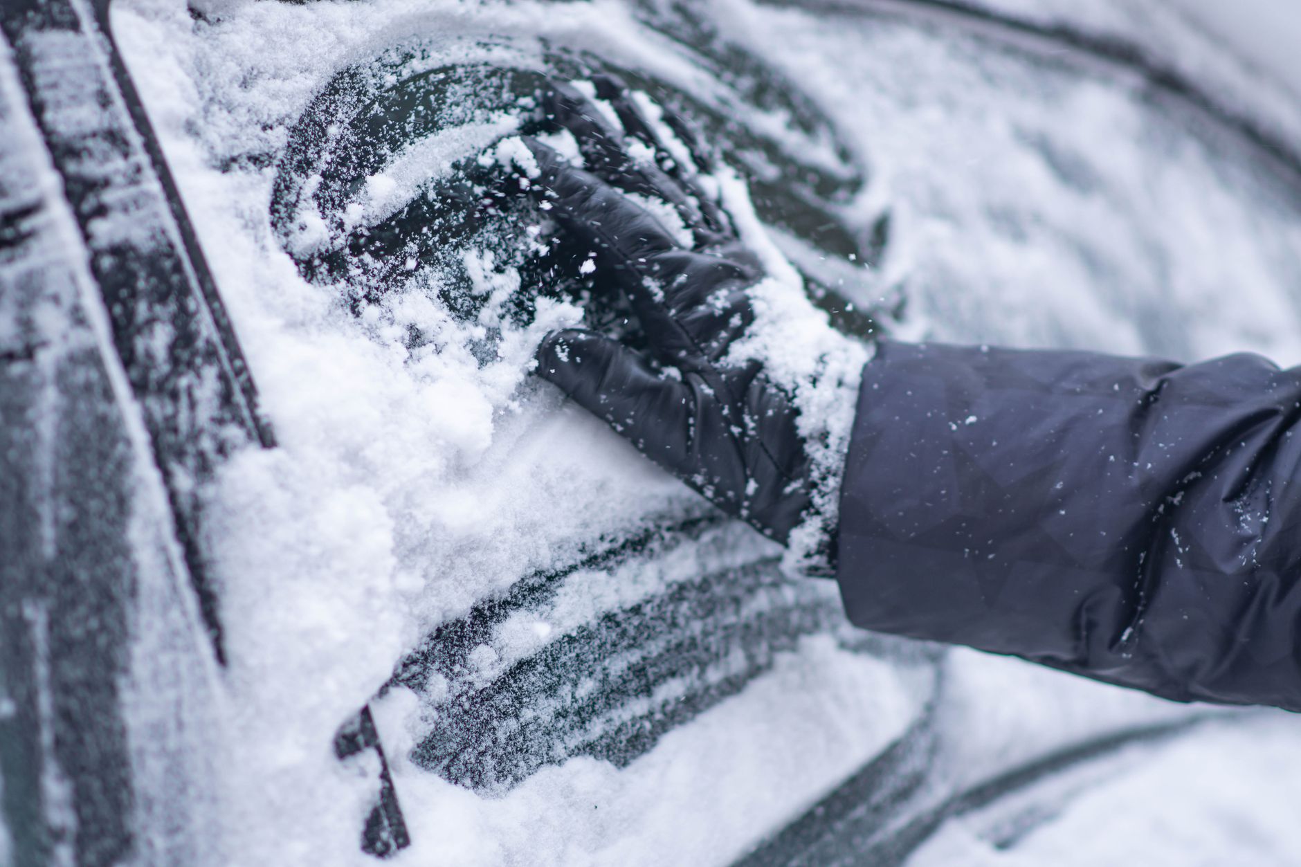
    A close-up of a gloved hand clearing snow from a car window during winter

    Checking Conditions Before You Leave

    Colorado’s mountain corridors can shift from clear to hazardous quickly, and checking conditions specifically for your route — not just your starting point — is worth the extra couple of minutes before a winter mountain drive. Both the Colorado Department of Transportation and the Colorado Avalanche Information Center publish current corridor and avalanche information.

    It’s worth checking conditions for your destination as well as your starting point. It’s common for weather at home to look perfectly clear while a pass 100 miles away is dealing with an active storm — a mismatch that’s easy to miss without specifically looking it up.

    Live traffic cameras, where available for a specific stretch of highway, are worth checking too — they can show actual current road surface conditions in a way that a general weather forecast alone can’t.
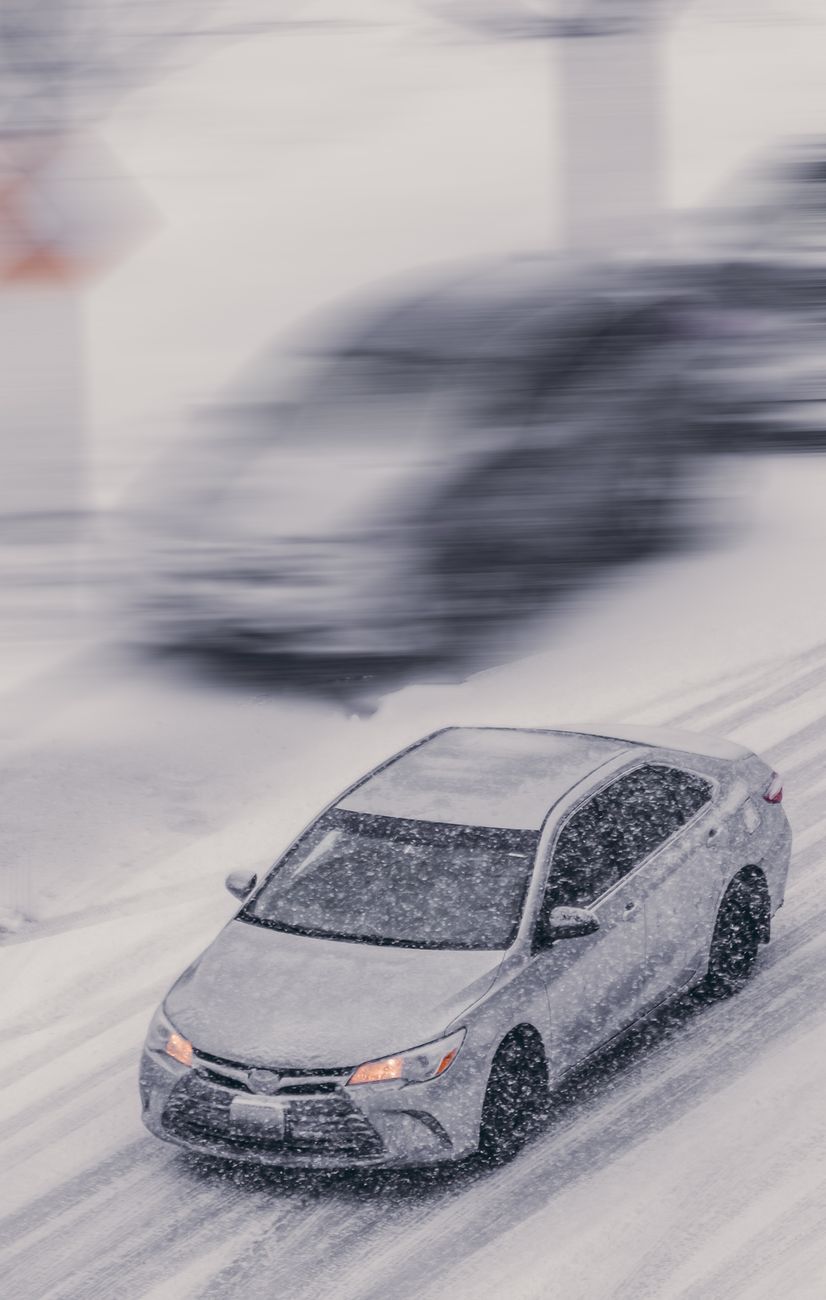
    Car driving through a heavy snowstorm on an icy street

    If You Get Stuck or Stranded

    1. Stay with your vehicle rather than setting out on foot, unless help is clearly and safely within reach.
    2. Run the engine periodically for heat rather than continuously, and make sure the exhaust pipe isn’t blocked by snow before doing so.
    3. Use hazard lights and, if you have one, a reflective marker to stay visible to snowplows and other traffic.
    4. Conserve your phone battery for calls rather than continuous use, in case you need it for an extended wait.
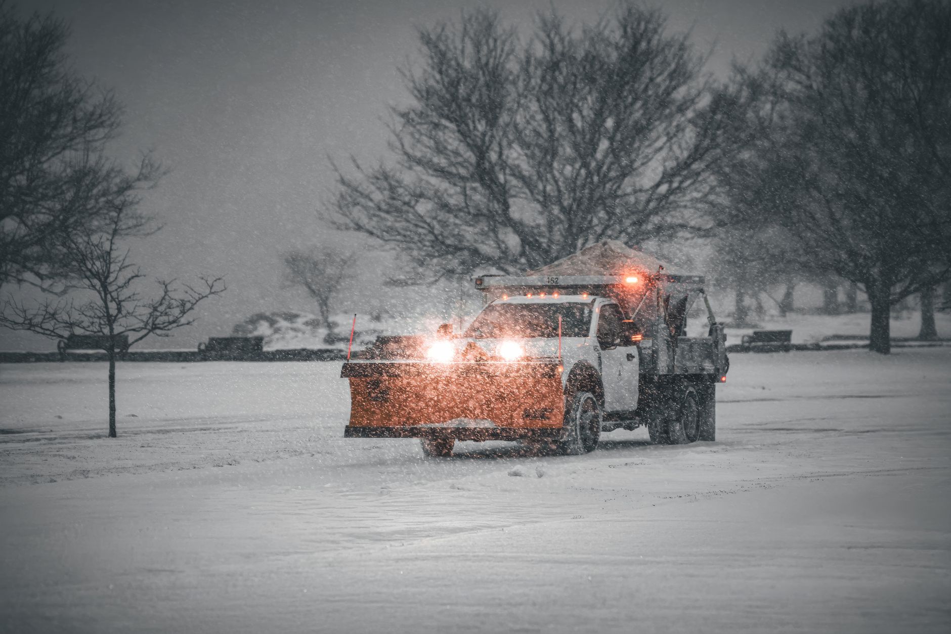
    A snow plow truck clearing a snowy road during a winter storm

    Fueling Up Before the Climb

    Poncha Market sits directly at the base of both Poncha Pass and, via US-50, the approach to Monarch Pass — a practical last stop to top off fuel, grab warm food, and double-check conditions before either climb in winter.

    Warming up with a real meal before a winter mountain climb is worth more than it might seem — both for comfort and for keeping your attention sharp on a demanding stretch of driving, rather than starting the climb already tired and hungry from earlier in the trip.
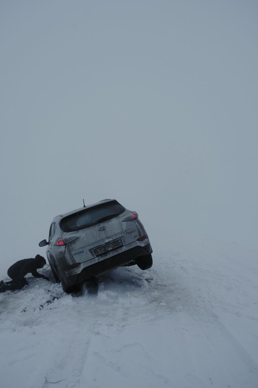
    A person trying to rescue a car stuck in snow on a cold winter day

    Winter Prep Checklist

    CategoryCheck
    VehicleTires, battery, wipers, fuel or charge topped off
    Emergency kitIce scraper, blanket, flashlight, snacks, water, jumper cables
    ConditionsCheck CDOT and avalanche advisories for your specific route
    PlanTell someone your route and expected arrival time

    Frequently Asked Questions

    What should be in a winter car emergency kit?

    An ice scraper, blanket, flashlight, phone charger, basic snacks and water, and jumper cables cover the most common needs if you’re stopped or delayed in cold weather.

    Are chains required on Poncha Pass or Monarch Pass?

    Requirements depend on current conditions under Colorado’s mountain corridor rules; check current restrictions before a winter crossing.

    Should I run my engine if I’m stuck in snow?

    Periodically for heat is reasonable, but make sure the exhaust pipe is clear of snow first, and avoid running it continuously without checking.

    Where can I check current mountain pass conditions?

    The Colorado Department of Transportation and the Colorado Avalanche Information Center both publish current corridor conditions and advisories.

    How often should I check my winter emergency kit?

    At the start of each winter season is a reasonable minimum — check batteries in flashlights, confirm blankets and supplies are still in the car, and replace anything used or expired from the previous season.

    Is it safe to drive alone over these passes in winter?

    Many people do it safely, but telling someone your route and expected arrival time is a reasonable precaution regardless of how routine the drive feels.

    Do electric vehicles need special winter preparation for mountain passes?

    Cold weather reduces EV range, so arriving with more charge buffer than usual and planning charging stops accordingly — like at Poncha Market’s Superchargers — is worth building into a winter route plan.

    What time of day is safest for winter mountain driving?

    Mid-morning through early afternoon, once any overnight ice has had a chance to thaw somewhat and before evening temperatures drop again, is generally considered more favorable than very early morning or after dark.

    What’s the last stop for gas before these passes?

    Poncha Market in Poncha Springs sits at the base of both Poncha Pass and the approach to Monarch Pass.

    Heading over a pass this winter? Check our Poncha Pass and Monarch Pass driving guides before you go.

    For official winter emergency preparedness guidance, see Ready.gov’s winter weather resources.
  • Best Road Trip Snacks and Drinks: A Gas Station Convenience Store Guide

    Best Road Trip Snacks and Drinks: A Gas Station Convenience Store Guide

    A long drive runs on more than gas. What you eat and drink along the way affects energy levels, alertness behind the wheel, and how the whole trip feels by the time you arrive. A quick stop at a convenience store like Poncha Market can go one of two ways: a sugar-crash cycle of candy and soda, or a genuinely sustaining set of choices that keep you comfortable for hours.

    None of this requires turning a road trip into a health-food expedition. The goal here is simple, practical swaps — the kind you can make in the same thirty seconds you’d otherwise spend grabbing whatever’s closest to the register — that add up to a noticeably better drive by the time you’re several hours in.

    Why Road Trip Snacking Is Different

    Sitting for hours at a stretch, often with less activity than a normal day, changes what your body actually needs compared to a typical meal. Heavy, greasy food can make you sluggish behind the wheel; pure sugar gives a quick spike followed by a crash right when you need sustained focus. The goal isn’t strict health rules — it’s picking food that keeps you comfortable and alert for the next stretch of driving.

    This matters more on longer legs of a trip, or ones that involve real elevation change, like the climbs on either side of Poncha Market in central Colorado. Feeling sluggish or jittery is a bigger liability on a winding mountain grade than on a straight flat highway, which is exactly where a lot of road trips through this part of the state happen to run.

    A person’s hands holding a glass jar and a handful of assorted nuts

    Snacks That Actually Hold Up

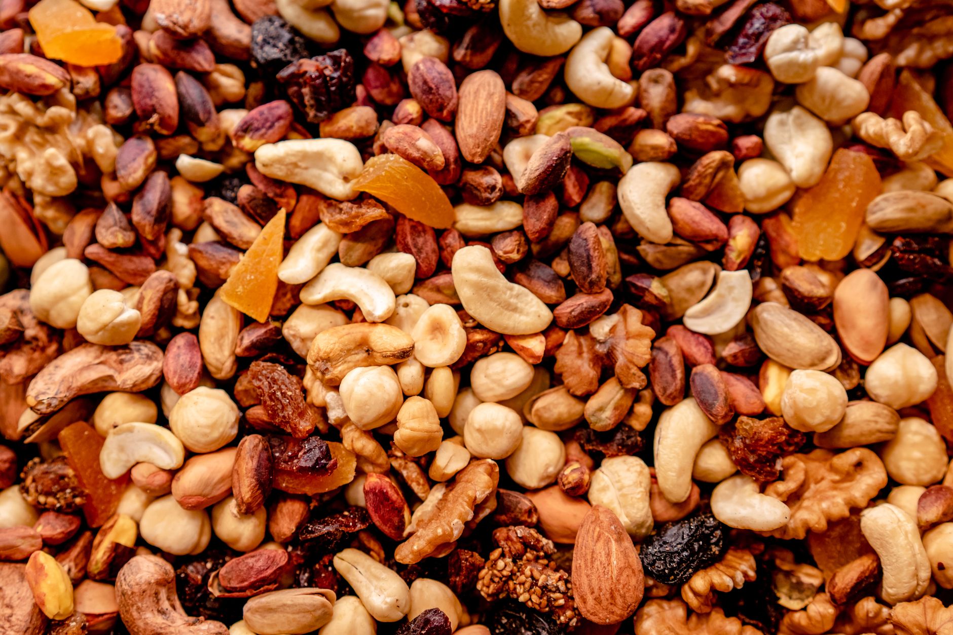
    • Nuts and trail mix — protein and fat combined help you feel fuller longer than a sugary snack of the same size, and they don’t need refrigeration.
    • Jerky — high in protein, shelf-stable, and satisfying in a way that a bag of chips generally isn’t.
    • Whole fruit — an apple or banana travels well and doesn’t rely on how a store handles pre-cut produce.
    • Granola or protein bars — a reasonable middle ground between convenience and actual nutrition, though it’s worth checking sugar content, since not all bars are created equal.
    • String cheese or other simple dairy snacks — a solid protein option if refrigeration along the way is reliable.

    None of these require a special health-food store — all of them are standard items at a typical convenience store, including Poncha Market‘s. The difference is simply choosing them deliberately rather than defaulting to whatever’s in the checkout-lane impulse rack.

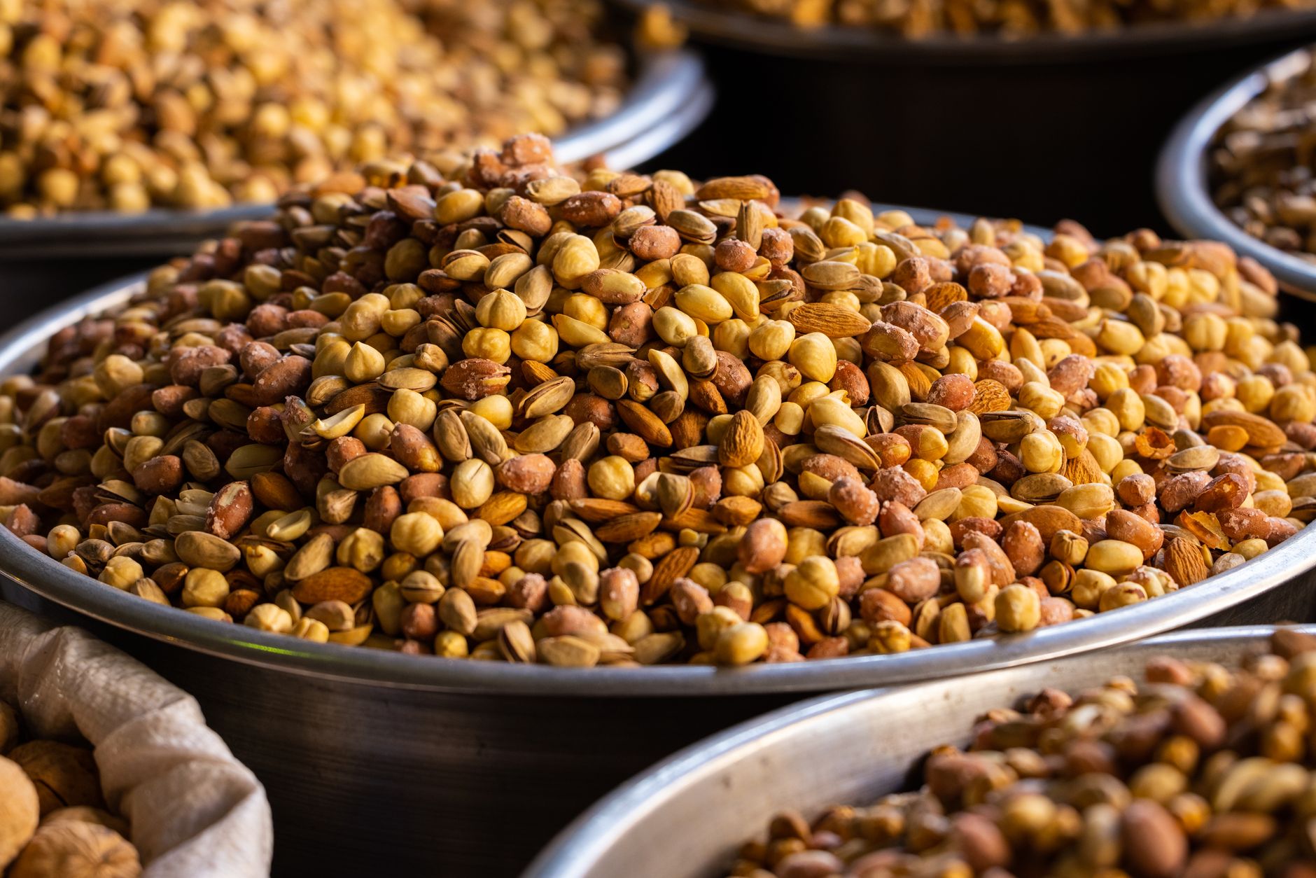
    A close-up of assorted roasted nuts in stainless steel bowls

    What to Drink on a Long Drive

    Hydration matters more on a road trip than most people account for, especially at higher elevations like central Colorado, where dehydration sets in faster than at sea level. Water should be the default, not an afterthought.

    • Keep a cooler or refillable bottles in the car rather than relying entirely on single-use bottles bought one stop at a time.
    • Caffeine can help with alertness on a long drive, but relying on it instead of rest breaks or actual sleep is a real safety risk, not just a minor inconvenience.
    • Sugary sodas and energy drinks provide a short-term boost followed by a crash — useful occasionally, risky as a primary strategy for staying alert.
    • At higher elevations specifically, dehydration symptoms can be mistaken for simple fatigue, which makes deliberate, regular water intake more important on a mountain drive than on a flat one.

    A useful habit on longer trips is treating water the same way you’d treat fuel: check it, top it off, and don’t wait until you’re already thirsty to think about it. By the time thirst is noticeable, mild dehydration has usually already set in.

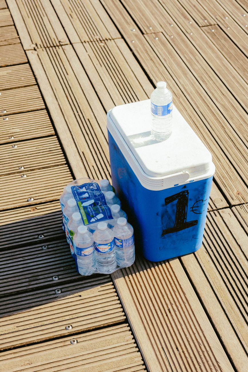
    A blue cooler with bottled water on a sunlit wooden deck

    Building a Better Convenience Store Stop

    A practical approach at a stop like Poncha Market is to think in terms of a small, balanced grab rather than one single item: a protein source (nuts, jerky), something with natural sugar (fruit), and water, rather than defaulting to whatever’s closest to the register.

    A vibrant array of drinks showcased in a cold beverage refrigerator

    If you have more time — not just a fuel-and-go stop — a made-to-order option like Mabel’s Deli‘s sandwiches is a meaningfully better choice than packaged convenience food for a real meal, since it’s prepared fresh rather than sitting under a heat lamp or shelf.

    Thinking of stops this way — a “quick grab” versus a “real meal” — rather than treating every convenience store visit the same way, tends to produce better choices overall. A five-minute fuel stop calls for the nuts-and-water approach above; a longer break calls for an actual meal instead of stacking several packaged snacks together as a substitute for one.

    Over a multi-hour drive, several small good decisions like this tend to matter more than any single choice. Skipping one candy bar for a handful of nuts won’t transform a road trip, but making that kind of swap consistently at every stop adds up by the time you actually arrive.

    A Simple Snack Comparison

    OptionSustains EnergyNeeds Refrigeration
    Trail mix / nutsYes — protein and fatNo
    JerkyYes — proteinNo
    Whole fruitModerate — natural sugar plus fiberNo
    Candy / sodaNo — quick spike then crashNo
    Made-to-order sandwichYes — balanced mealPrepared fresh, not stored
    A woman in casual clothes drinking water outdoors

    Frequently Asked Questions

    What are the healthiest gas station snacks?

    Nuts, jerky, whole fruit, and granola bars with modest sugar content are generally the best options available at a typical convenience store.

    Should I avoid caffeine on a road trip?

    Not necessarily, but it shouldn’t replace actual rest breaks or sleep — caffeine can mask fatigue rather than resolve it.

    How much water should I drink on a road trip?

    More than feels strictly necessary, particularly at higher elevations, where dehydration happens faster than most people expect.

    Is a gas station sandwich a good meal option?

    It depends entirely on how it’s prepared. A made-to-order deli sandwich, like those at Mabel’s Deli, is a meaningfully better option than a pre-packaged sandwich that’s been sitting in a case.

    What snacks should I avoid on a long drive?

    Heavy, greasy food and high-sugar snacks and drinks are both worth limiting — the first for alertness, the second to avoid an energy crash partway through the drive.

    How do I know if I’m getting dehydrated on a road trip?

    Fatigue, headache, and difficulty concentrating can all be early signs, and are easy to mistake for simple tiredness — regular water intake rather than waiting for thirst is the more reliable approach.

    Are protein bars a good road trip snack?

    Generally yes, though checking the sugar content is worth doing, since some bars are closer to candy than to a balanced snack despite the healthy marketing.

    Should I pack snacks before a road trip or buy them along the way?

    A mix of both works well — packing a few reliable staples from home as a backup, while still planning on buying fresh options like fruit or a real meal along the way.

    What should I drink instead of soda on a road trip?

    Plain water should be the default; unsweetened options like sparkling water are a reasonable alternative if you want variety without the sugar crash that comes with soda.

    Stopping for a real meal instead? See our Mabel’s Deli menu guide for a made-to-order alternative to packaged convenience food.

    For general guidance on balanced snacking and hydration, see the Academy of Nutrition and Dietetics.

  • Denver to Poncha Springs Tesla Road Trip: Full Route Guide

    Denver to Poncha Springs Tesla Road Trip: Full Route Guide

    If you’re planning a Tesla road trip south from Denver, US Highway 285 is one of the most commonly used routes into central Colorado, and it runs directly to Poncha Market’s 8 Tesla Superchargers in Poncha Springs. This guide covers the drive itself, not just the charging station at the end of it.

    It’s a route Tesla owners already use regularly — a well-known road trip pattern runs from Denver via US-285 through Fairplay to the Poncha Springs Supercharger, continuing on to destinations like Great Sand Dunes National Park before looping back through Pueblo or Colorado Springs.

    What makes this route worth planning specifically, rather than just trusting the car’s navigation blindly, is the combination of real elevation change and a single, reliable charging point roughly at the midpoint of most southern Colorado itineraries. Understanding the shape of the drive in advance means fewer surprises once you’re actually on the road.

    The Route: Denver to Poncha Springs

    From the Denver metro area, US-285 heads southwest through the foothills, climbs Kenosha Pass into the South Park basin, passes through Fairplay, crosses Trout Creek Pass, and descends into Poncha Springs at the US-50 junction — a drive of roughly 145 miles, typically taking about two and a half to three hours depending on traffic and conditions.

    This route gains and loses elevation more than once along the way rather than climbing steadily the whole distance — Kenosha Pass, a drop into the relatively flat South Park basin, then a second climb over Trout Creek Pass before the final descent into Poncha Springs. That elevation profile matters for range planning more than the straight-line mileage alone would suggest, since climbing uses more energy than the equivalent flat-road distance.

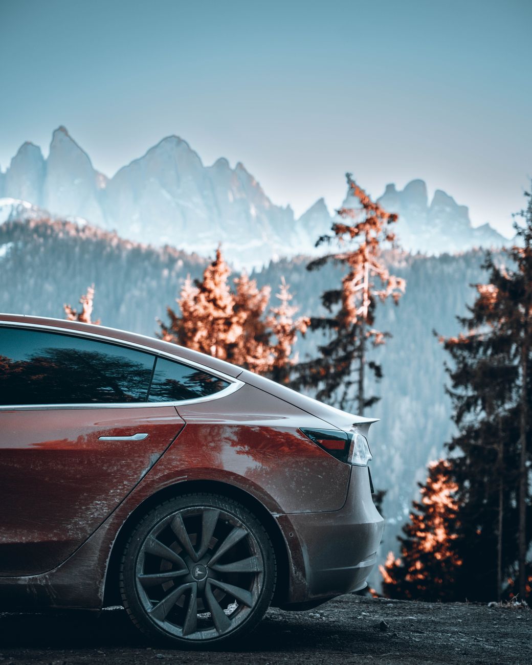
    A vehicle travels a mountain highway under a dramatic sky

    Planning Your Charge

    For most Tesla models, a full or near-full charge from Denver comfortably covers this distance without needing an intermediate stop, particularly in mild weather. Cold weather and mountain elevation gain both increase energy use, though, so checking your in-car trip planner before you leave — rather than relying on flat-road range estimates — is worth the extra minute.

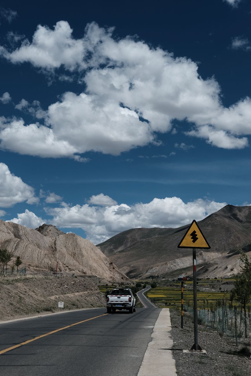
    Serene mountain road with a vehicle, surrounded by nature and power lines

    The car’s own navigation and trip planning software will factor in elevation changes and current conditions automatically when Supercharger stops are needed, and will route you to Poncha Springs as a planned stop if your remaining charge and destination call for it.

    It’s still worth double-checking that plan against real-world judgment rather than following it blindly, particularly in winter. If a storm is forecast over Kenosha Pass or Trout Creek Pass, arriving at Poncha Springs with more charge in reserve than the software strictly calculates gives you a buffer if road conditions slow you down or a detour becomes necessary.

    What to Expect on Arrival

    Poncha Market’s Supercharger station has 8 stalls, available 24/7, delivering up to 150kW — enough for most models to add well over 150 miles of range in the time it takes to eat a meal at Mabel’s Deli, located inside the same building as the chargers.

    Because the deli is inside the same building rather than a separate walk across a parking lot, this stop works well for road trippers who don’t want to spend their charging time sitting in the car. Order first, then keep an eye on your charge percentage from a table rather than standing at the charger waiting.

    A scenic dirt road through a lush mountain landscape with a parked car

    Continuing Beyond Poncha Springs

    Poncha Springs works well as a first charging stop for trips continuing further south or west. From here, common onward routes include continuing south over Poncha Pass toward the San Luis Valley and Great Sand Dunes National Park, or heading west on US-50 over Monarch Pass toward Gunnison.

    Both onward routes climb meaningfully higher than Poncha Springs itself, which is exactly why fully charging here rather than treating it as a quick top-up matters more than it would before a flatter stretch of highway. A fuller charge before either climb gives you more margin if conditions or traffic slow the trip down.

    Poncha Market storefront at the US-50/US-285 junction in Poncha Springs, Colorado

    Trip Planning at a Glance

    LegDistanceDrive TimeCharging Note
    Denver to Poncha Springs~145 miles~2.5–3 hoursOften doable on one charge in mild weather
    Poncha Springs Supercharger20–30 min typical stop8 stalls, 24/7, up to 150kW
    Onward to Great Sand Dunes~95 miles~1.5 hoursVia Poncha Pass and CO-17
    Onward via Monarch Pass~25 miles to summit~30–40 minHigher elevation, more winter caution needed

    Cold Weather Considerations

    Winter driving from Denver adds two factors worth planning for: reduced range from cold temperatures and mountain elevation, and the possibility of slower going over Poncha Pass or Kenosha Pass in snow. Building in extra time, and arriving at Poncha Springs with more buffer than you’d need in summer, is a reasonable precaution rather than overcaution.

    Preconditioning the battery before a Supercharging stop — something most Tesla models do automatically when a Supercharger is set as the navigation destination — helps charging speed in cold weather specifically. Setting Poncha Springs as an actual navigation stop, rather than just driving toward it, lets the car prepare the battery in advance rather than arriving cold.

    Making the Drive Itself Part of the Trip

    It’s easy to treat a Supercharger stop purely as a logistics checkpoint, but this particular stretch of Colorado rewards a slower approach. The scenery through South Park and along Trout Creek Pass is genuinely worth a photo stop or two, and building in a little slack time for that, rather than treating the drive as a straight-line dash to the charger, makes for a better trip overall — without meaningfully changing your total charging math or your arrival time by more than a few minutes.

    Frequently Asked Questions

    How far is Poncha Springs from Denver?

    Roughly 145 miles via US-285, typically a two-and-a-half to three-hour drive.

    Can I make it from Denver to Poncha Springs on one charge?

    Often yes, in mild weather with a full charge, though cold weather and elevation gain both increase energy use, so checking your car’s trip planner before you leave is worth doing.

    Is Poncha Springs a common Tesla road trip stop?

    Yes — it’s a well-known stop on routes from Denver toward Great Sand Dunes National Park and other southern Colorado destinations, sitting directly on US-285.

    What’s after Poncha Springs on this route?

    Common continuations include south over Poncha Pass toward the San Luis Valley, or west over Monarch Pass toward Gunnison.

    Are there other Superchargers between Denver and Poncha Springs?

    Check your car’s in-car navigation for current Supercharger locations along your specific route, since network coverage is added and updated over time.

    Does winter weather affect this route significantly?

    Yes — both Kenosha Pass and Trout Creek Pass can see winter weather, and cold temperatures reduce EV range, so building in extra charge buffer and travel time during winter months is a reasonable precaution.

    Is this route suitable for a first Tesla road trip?

    Yes — it’s a well-traveled, well-documented route with a reliable charging stop roughly at the midpoint, making it a reasonable choice for a first longer EV road trip in Colorado.

    Is there food available at Poncha Springs while charging?

    Yes — Mabel’s Deli operates inside the same building as the Superchargers, making it easy to eat while your car charges rather than waiting in the parking lot.

    Continuing your trip? See our Great Sand Dunes road trip guide or Monarch Pass driving guide for what’s next after Poncha Springs.

    For community-sourced charging station information and trip planning, see PlugShare.

  • Camping Near Poncha Springs, Colorado: Where to Pitch a Tent or Park an RV

    Camping Near Poncha Springs, Colorado: Where to Pitch a Tent or Park an RV

    Poncha Springs sits close to a genuine range of camping options in the San Isabel National Forest and the surrounding Arkansas River valley — from developed Forest Service campgrounds to private RV parks. If you’re staying in the area rather than just passing through Poncha Market, here’s where to actually camp.

    The range of options here is genuinely wide: a scenic lakeside Forest Service site a few minutes from town, larger developed campgrounds toward Buena Vista with dozens of sites, private RV parks with hookups and amenities, and informal dispersed camping on public land for travelers who want to skip developed sites entirely. Which one makes sense depends mostly on what kind of trip you’re planning and what gear you’re bringing.

    O’Haver Lake: The Closest Option

    O’Haver Lake Campground, in the San Isabel National Forest, is the closest developed campground to Poncha Springs itself — roughly two miles down Marshall Pass Road, then two miles north, sitting at 9,200 feet elevation. It offers both RV and tent sites directly on a small mountain lake, a genuinely scenic option for how close it sits to town.

    Because it sits at a meaningfully higher elevation than Poncha Springs itself, expect noticeably cooler overnight temperatures than what you’d feel in town, even in mid-summer — worth packing for regardless of what the forecast says for the valley floor below.

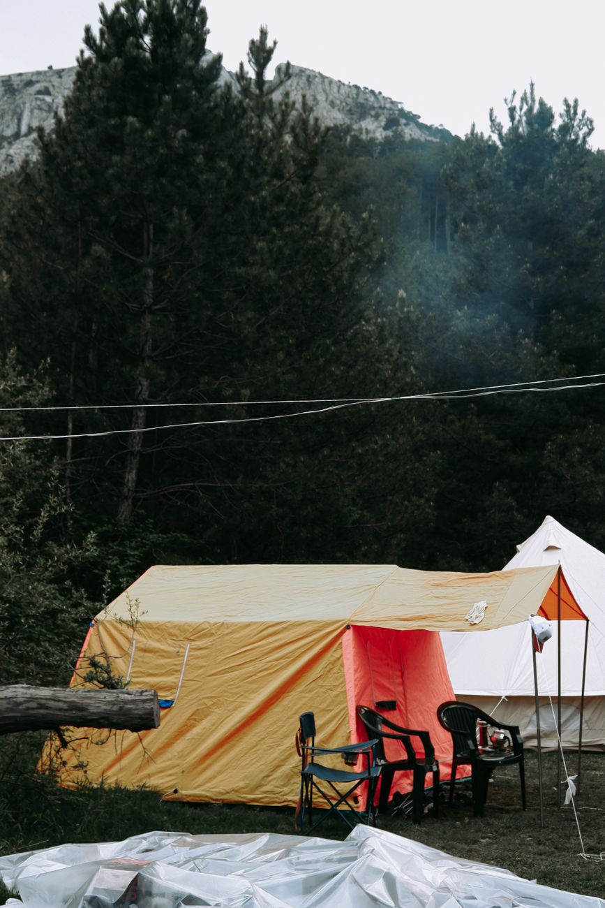
    Vibrant tents set up in a lush forest for outdoor camping

    Forest Service Campgrounds Near Buena Vista and Nathrop

    Several other developed Forest Service campgrounds sit within a reasonable drive north of Poncha Springs, toward Buena Vista and Nathrop:

    • Mount Princeton Campground — 19 campsites, typically open from mid-May to mid-September.
    • Chalk Lake Campground — 19 campsites, including 7 tent-only sites, near Mount Princeton Hot Springs.
    • Collegiate Peaks Campground — the largest of the group, with 56 campsites.

    These three sit close enough together, and close enough to Buena Vista, that they’re often considered as a group rather than individually — if one is full, checking the others nearby is a reasonable next step rather than giving up on the area entirely, especially during peak summer weekends when reservations fill quickly.

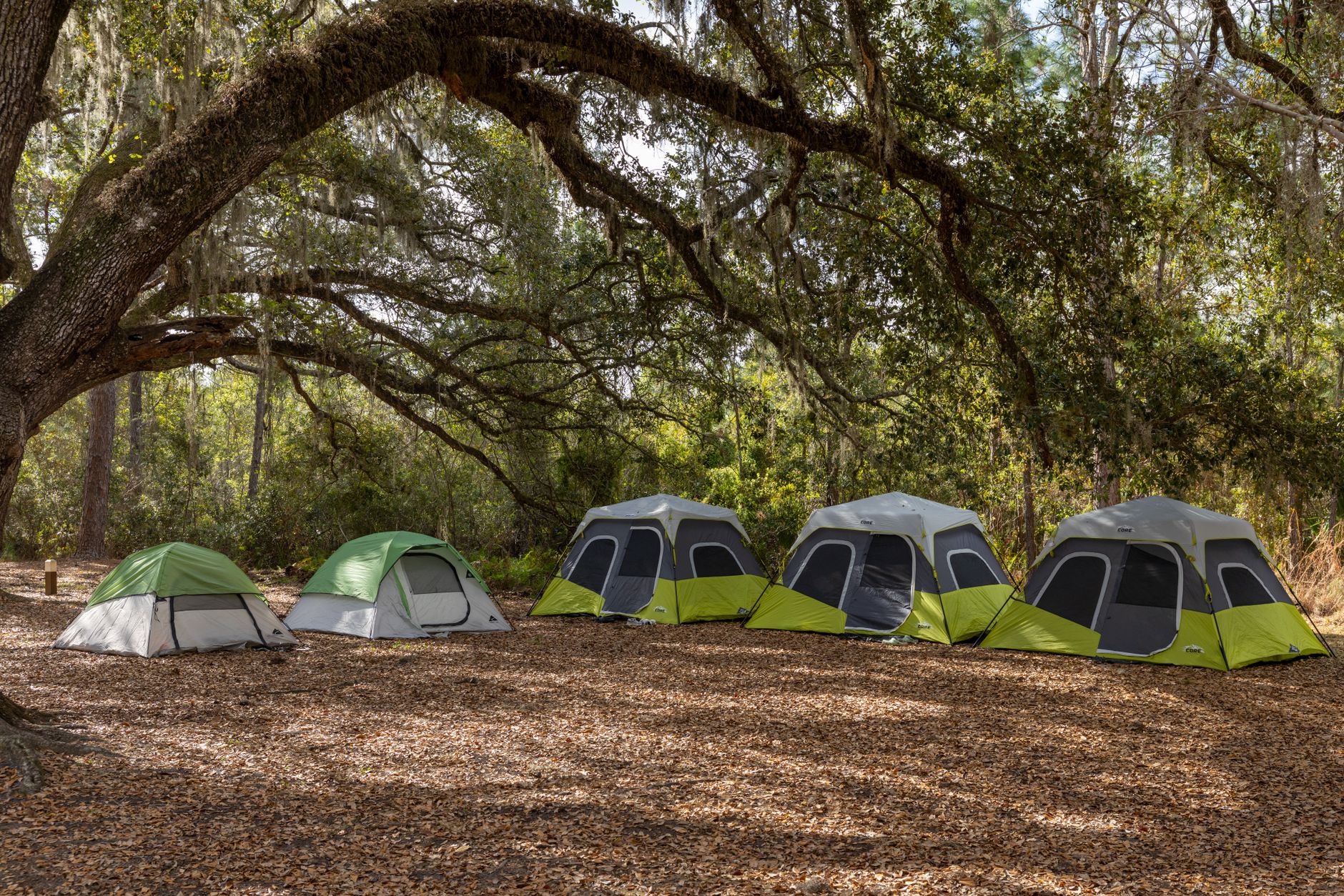
    A row of tents in a peaceful forest camping site under a large tree

    Private Campgrounds and RV Parks

    For travelers who want RV hookups or amenities beyond what a Forest Service site typically provides, private options fill that gap. Monarch Spur RV Park and Campground sits in a small valley in the San Isabel National Forest along the South Fork of the Arkansas River, at 8,620 feet, offering a private-park experience within a genuinely forested setting rather than a paved lot.

    This kind of hybrid — private amenities inside a genuinely forested, national-forest setting — is a meaningful step up from a typical roadside RV park for travelers who want hookups without giving up the scenery that draws people to this part of Colorado in the first place.

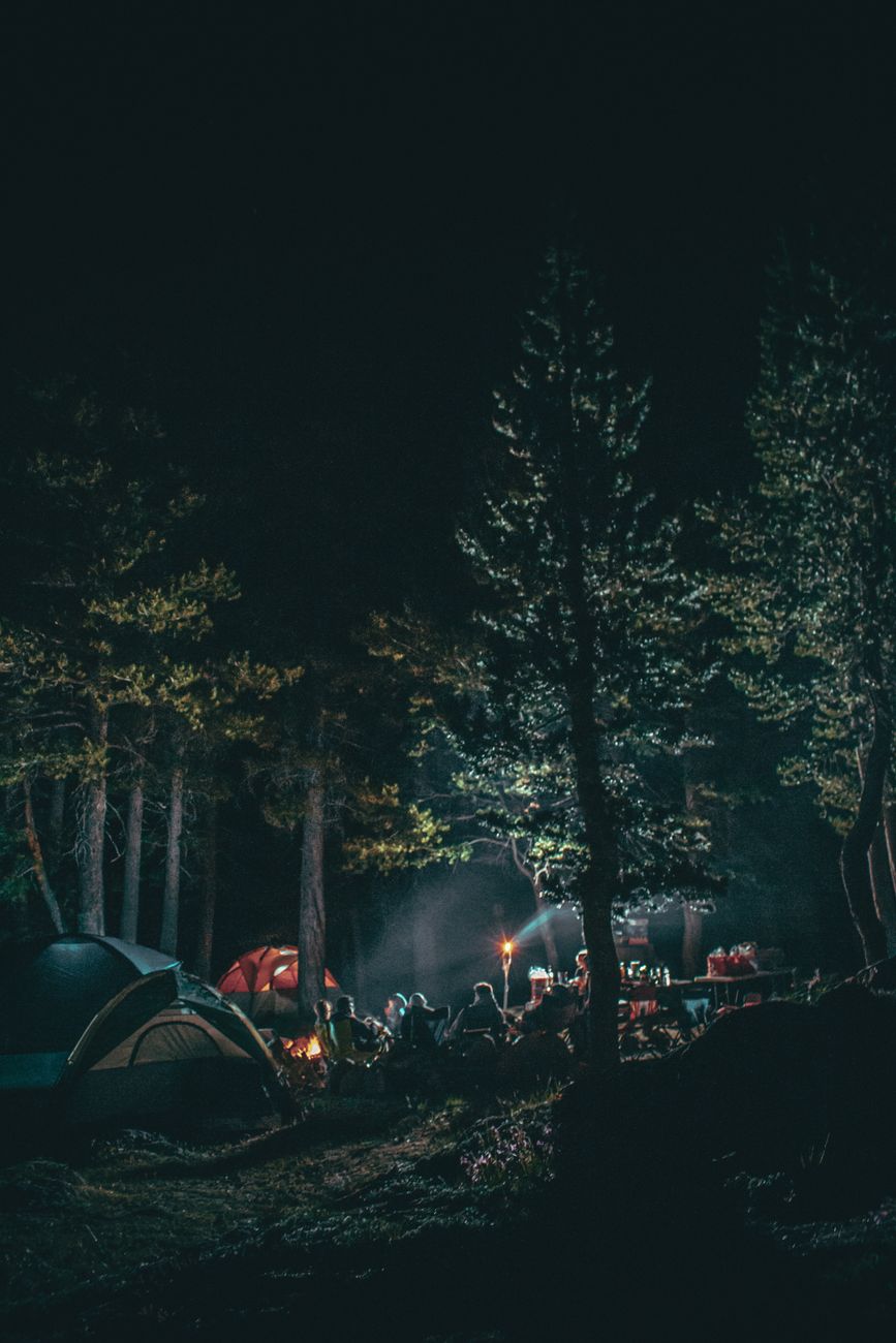
    A serene camping scene at night with tents and campfire lit among tall trees

    Something Different: Yurts at Poncha Pass

    For travelers who want more shelter than a tent but don’t need a full cabin, Yurts at Poncha Pass offers yurt-based lodging in the remote headwaters area near the Sangre de Cristo Mountains south of town — a middle option between tent camping and a hotel stay.

    Yurts split the difference in a genuinely useful way: more insulation and structure than a tent provides, without the cost or formality of a full cabin rental. For shoulder-season trips, when nighttime temperatures at elevation can drop sharply even if daytime weather looks mild, that extra insulation is a real practical advantage over standard tent camping.

    Dispersed Camping

    Beyond developed campgrounds, the surrounding national forest land also supports dispersed camping — camping outside a designated campground, generally free but without amenities like water, restrooms, or fire grates. This suits experienced campers comfortable with a fully self-sufficient setup more than first-timers looking for a straightforward, amenity-equipped site.

    Dispersed camping also comes with more responsibility: pack out all trash, follow current fire restrictions closely (these are strictly enforced in dry years), and leave the site in the same condition you found it. National forest land access for dispersed camping can also change with local conditions, so checking current rules before you head out is worth the extra few minutes.

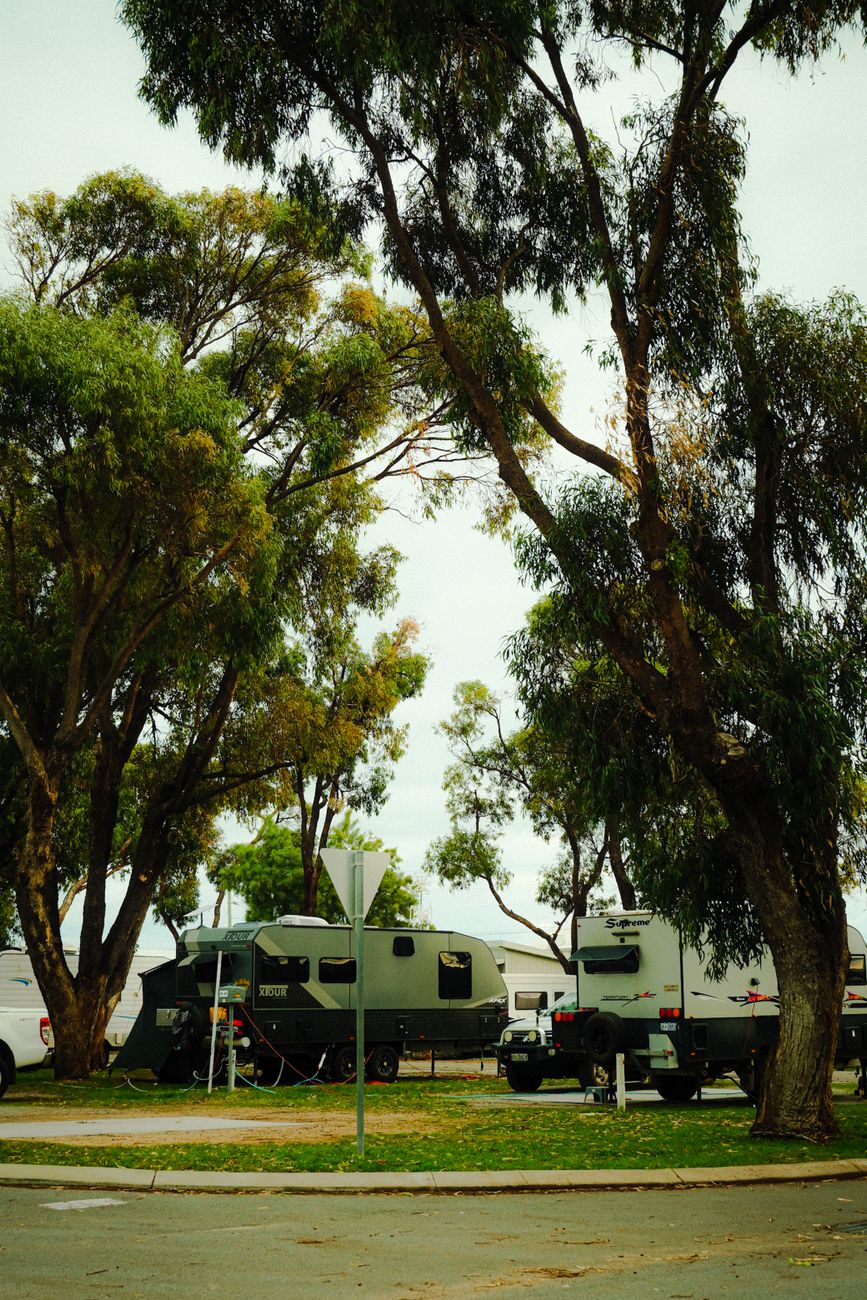
    Serene RV park with campers under lush trees during daytime

    Comparing Your Options

    OptionTypeDistance from Poncha SpringsBest For
    O’Haver LakeForest Service, RV + tent~4 milesClosest option, lake views
    Mount Princeton CampgroundForest Service, seasonal~20 minutesNear hot springs and hiking
    Chalk Lake CampgroundForest Service, tent + RV~20 minutesTent-only sites available
    Collegiate Peaks CampgroundForest Service, largest~20 minutesMore site availability
    Monarch Spur RV ParkPrivate, RV-focused~15 minutesRV hookups and amenities
    Dispersed campingInformal, national forest landVariesSelf-sufficient, experienced campers
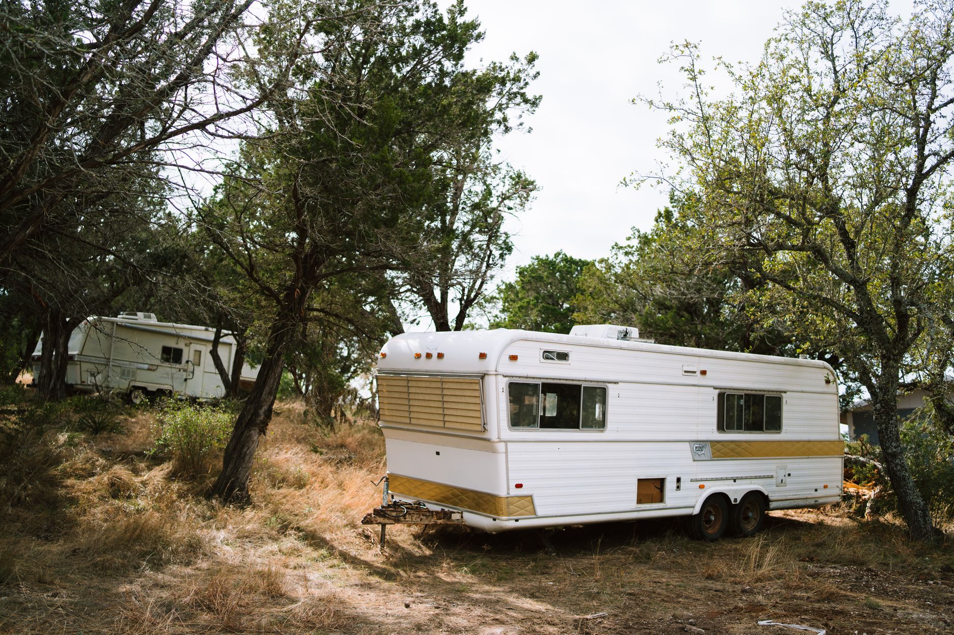
    Vintage camper trailers set amidst trees in a peaceful forest scene

    Stocking Up Before You Camp

    Poncha Market is a practical last stop for fuel, ice, and food before heading to any of these campgrounds — particularly for the more remote or amenity-free options like O’Haver Lake or dispersed sites, where there’s no store once you’ve arrived.

    Grabbing a couple of made-to-order sandwiches for the first night’s dinner, rather than relying on whatever’s easiest to cook once you’ve set up camp, is a small planning move that pays off after a long drive in — especially if you’re arriving later in the day with limited daylight left to get a fire or stove going. It also means the first night doesn’t depend on successfully lighting a stove or campfire in the dark after a long travel day.

    Frequently Asked Questions

    What is the closest campground to Poncha Springs?

    O’Haver Lake Campground, roughly four miles from town via Marshall Pass Road, is the closest developed option.

    Are there RV-friendly campgrounds near Poncha Springs?

    Yes — O’Haver Lake accepts RVs, and Monarch Spur RV Park is a private option built specifically for RV travelers.

    Is dispersed camping allowed near Poncha Springs?

    Yes, on surrounding national forest land, though without amenities like water or restrooms, making it better suited to experienced, self-sufficient campers.

    When are Forest Service campgrounds open near Poncha Springs?

    Typically mid-May through mid-September, though exact dates vary by specific campground and snow conditions each year.

    Is there a non-tent lodging option near Poncha Pass?

    Yes — Yurts at Poncha Pass offers yurt-based lodging as a middle option between tent camping and a full cabin or hotel stay.

    Do I need a reservation for these campgrounds?

    Developed Forest Service and private campgrounds fill up on summer weekends, so reserving in advance through the appropriate booking system is strongly recommended rather than counting on a walk-up site.

    What should I pack that’s easy to forget for high-elevation camping?

    Warmer layers than the daytime temperature suggests, since nights at 8,000 to 9,200 feet cool off substantially even in summer, and enough water given how quickly dehydration sets in at altitude.

    Can I stock up on supplies before camping?

    Poncha Market‘s convenience store is a practical last stop for ice, drinks, and snacks before heading to a campground without its own store nearby.

    Is bear-proofing my food necessary while camping here?

    Standard backcountry food storage precautions apply throughout Colorado’s national forest land, and following any posted guidance at your specific campground is worth doing regardless of which site you choose.

    Stocking up before you camp? Fuel up, grab ice, and eat at Poncha Market before heading out to any of these sites.

    For current availability and reservations at developed campgrounds in this area, see Recreation.gov.

  • Motorcycle Road Trip Guide: Riding US-285 and US-50 Through Colorado

    Motorcycle Road Trip Guide: Riding US-285 and US-50 Through Colorado

    US Highway 285 is one of central Colorado’s backbone routes for motorcycle touring — 263.87 miles of Colorado highway connecting Denver to the New Mexico border, with Poncha Market sitting at its junction with US-50 in Poncha Springs, right in the middle of the most scenic stretch.

    For riders planning a day trip or a longer multi-day loop through this part of the state, here’s what the route actually offers, and where it makes sense to stop.

    Part of what makes this corridor stand out for motorcycle touring specifically is the variety packed into a single continuous route: high alpine passes, a wide-open basin, forested river valleys, and small towns, all without needing to string together multiple separate highways. A rider can experience most of what central Colorado has to offer on two wheels without leaving this one road and its immediate junction at US-50.

    What Makes This Route Worth Riding

    Heading south from the Denver metro area, US-285 climbs into the foothills and crosses Kenosha Pass into the open expanse of South Park — a wide, high-elevation basin that gives riders a rare, expansive view before the road narrows back into forest and climbs again. Several 14ers are visible from the highway along the way, including Mount Antero, and the route crosses Trout Creek Pass before descending into Poncha Springs.

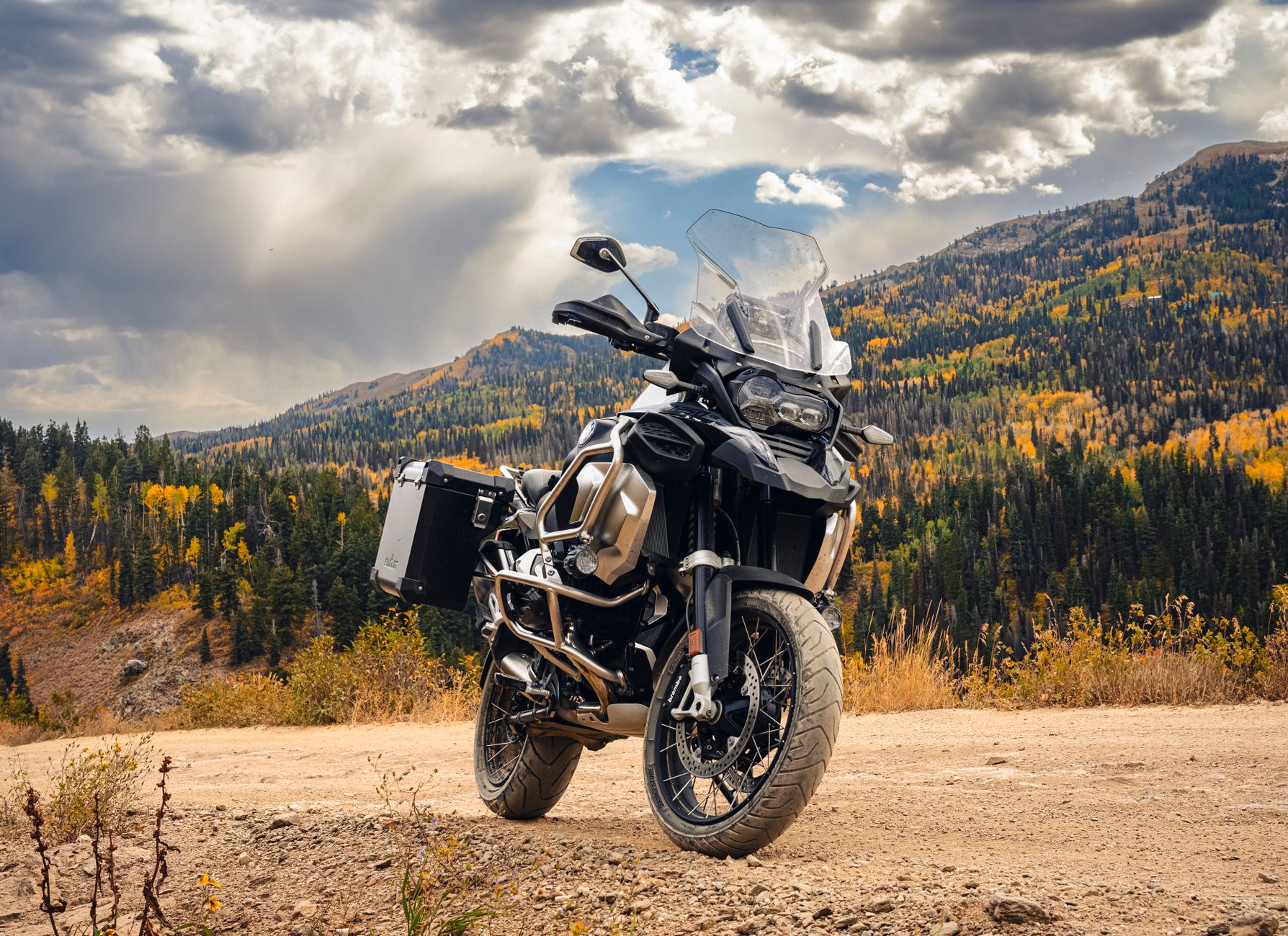
    Powerful adventure motorcycle parked on a mountain road with autumn foliage

    From Poncha Springs, riders have a genuine choice: continue south on US-285 over Poncha Pass toward the San Luis Valley, or head west on US-50 toward Monarch Pass and the Continental Divide. Both are worthwhile in different ways, and the junction itself is a natural point to decide which way to go, or to simply refuel and turn back the way you came for an out-and-back day ride.

    Riders planning a longer loop rather than an out-and-back often use Poncha Springs as a hinge point: ride down via US-285 through South Park, cross west on US-50 over Monarch Pass, then loop back north through Gunnison country before returning to Denver by a different route entirely. That kind of loop turns a single highway into a genuine multi-day tour.

    Riding Kenosha Pass and South Park

    Kenosha Pass, the first major climb heading south from Denver, offers one of the route’s signature views: a wide overlook down into the South Park basin, especially striking in fall when aspens along the pass turn gold. It’s a popular photo stop for riders and drivers alike, with pull-offs specifically for taking in the view.

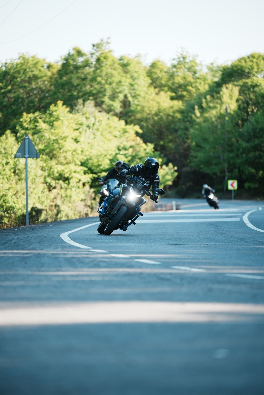
    Two motorcyclists navigating a scenic curved road surrounded by lush greenery

    Small Towns Along the Way

    The route is dotted with small towns well suited to a gas, food, or sightseeing stop — Fairplay in the South Park basin being one of the more notable, before the highway continues on toward Poncha Springs. These towns break up a long ride and are worth treating as planned stops rather than places to simply pass through.

    For riders unfamiliar with the route, it’s worth resisting the urge to push straight through to a single destination. Part of the appeal of touring by motorcycle rather than driving is exactly this kind of stop-and-look riding, and the small towns along US-285 are built for it — gas, a quick bite, and a chance to stretch before the next stretch of highway. Planning two or three of these stops into a day’s ride, rather than one long unbroken stretch, tends to make for a more comfortable and more memorable trip.

    What to Expect at the Poncha Springs Junction

    Poncha Market functions as a natural rest point for riders on this route — fuel, restrooms, and a real deli menu rather than a vending machine, right at the junction where many riders are deciding their next move anyway.

    After several hours in the saddle, a hot, made-to-order sandwich is a genuine upgrade over a bag of gas station chips eaten standing next to the bike — and since the stop sits directly at the junction, it doesn’t cost extra mileage or time off the planned route to make it.

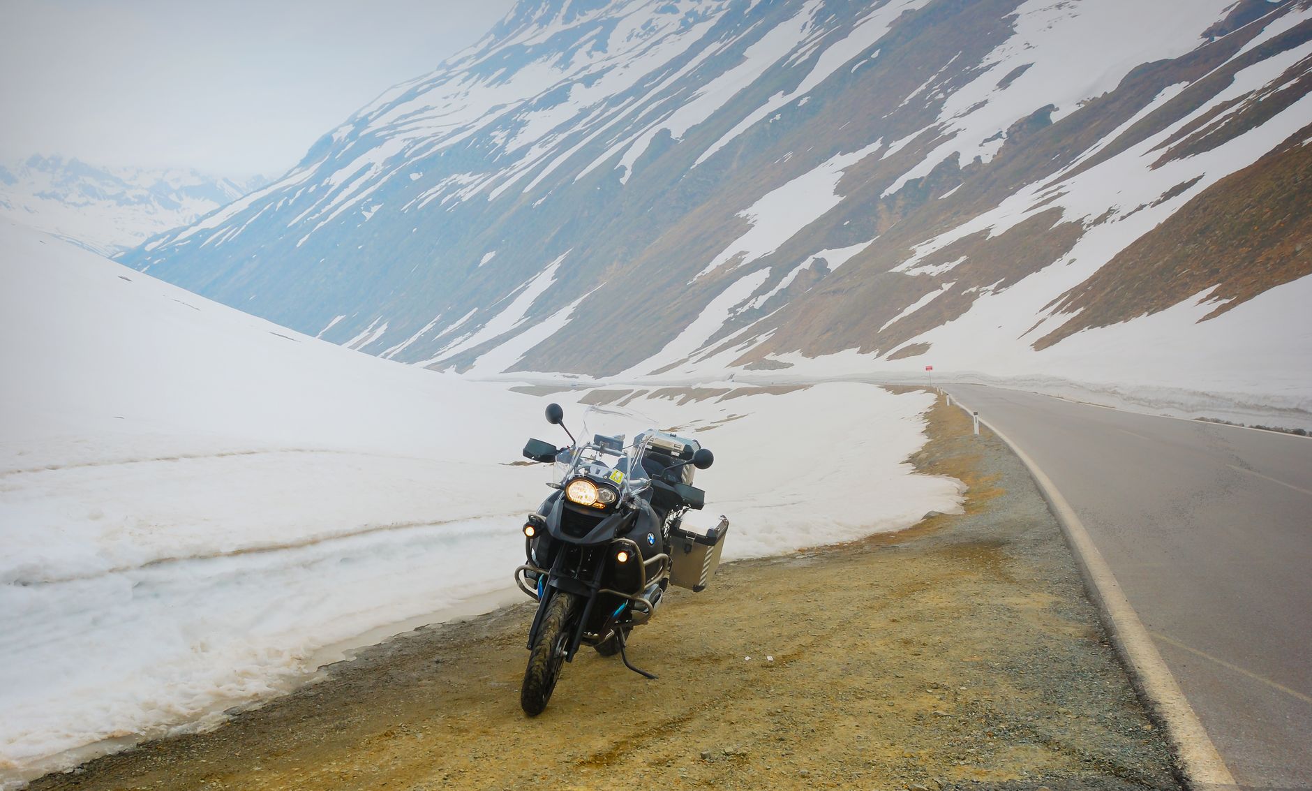
    Adventure motorcycle parked by a snowy mountain road

    Gear and Timing Considerations

    • Mountain weather changes fast at altitude; pack layers even on a warm-looking summer morning, since temperatures at higher passes can be substantially cooler.
    • Afternoon thunderstorms are common in Colorado’s high country during summer; an early start reduces the chance of riding through one at elevation.
    • Monarch Pass, if you head west from Poncha Springs, climbs to over 11,000 feet and has a real winter-driving reputation — plan accordingly outside of summer riding season.
    • Fuel up at every real opportunity rather than pushing a tank to its limit; service can be sparse between towns on this corridor.
    • Riding solo? Let someone know your planned route and rough timeline, particularly if you’re continuing over a higher pass like Monarch after Poncha Springs.
    • Tire pressure and tread matter more on mountain roads with sustained grades and curves than on flat interstate riding; check both before a long day in the saddle.
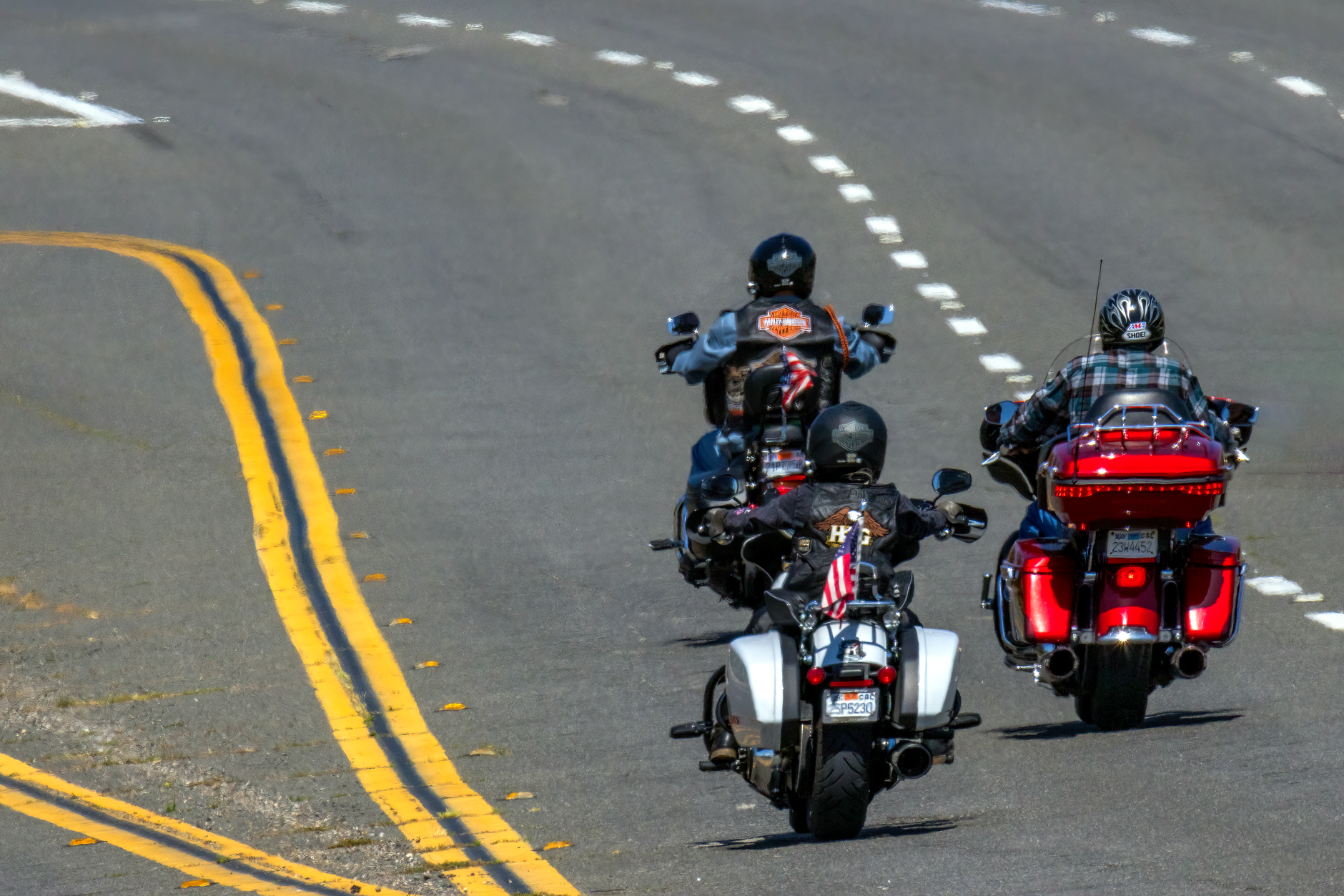
    Three motorcyclists riding freely on a highway

    Route Comparison: Continuing South vs. West

    OptionHighlightConsideration
    Continue south on US-285Poncha Pass, then the San Luis Valley and Great Sand DunesLower elevation pass, generally straightforward
    Head west on US-50Monarch Pass and the Continental DivideHigher elevation, more demanding, better suited to summer
    Turn back toward DenverRe-ride Kenosha Pass and South Park in reverse lightGood option for a single-day out-and-back ride
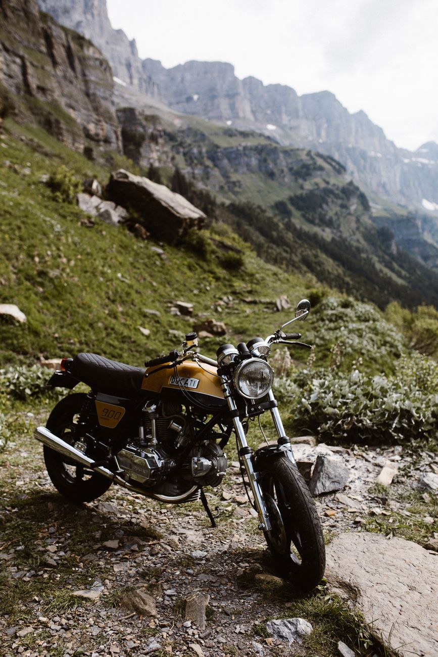
    A motorcycle parked in a picturesque mountain setting

    Frequently Asked Questions

    How long is US-285 in Colorado?

    263.87 miles, running from the Denver area to the New Mexico border.

    Is US-285 a good motorcycle road?

    Yes — it’s widely considered one of central Colorado’s best touring routes, combining mountain passes, an open high-elevation basin at South Park, and small-town stops along the way.

    Where is a good rest stop along the route?

    Poncha Market, at the US-50/US-285 junction in Poncha Springs, offers fuel, food, and restrooms roughly at the midpoint of the most scenic stretch.

    Should I ride Monarch Pass on a motorcycle?

    It’s a rewarding ride in good summer weather, but its higher elevation and winter reputation mean it deserves more caution than Poncha Pass, especially outside peak season. See our Monarch Pass driving guide.

    What should I pack for a ride through this corridor?

    Layers for temperature swings at altitude, rain gear given the chance of afternoon storms, and a plan for fuel stops given the spacing between towns.

    Can I do a multi-day loop from Poncha Springs?

    Yes — many riders use the junction as a hinge point, combining US-285 through South Park with US-50 over Monarch Pass toward Gunnison for a longer loop rather than a simple out-and-back.

    What time of year is best for riding this route?

    Summer and early fall generally offer the most reliable conditions, particularly for the higher-elevation stretches like Monarch Pass.

    Are there other motorcyclists on this route?

    Yes — US-285 and US-50 through central Colorado are well-known regional touring routes, and it’s common to see other riders, especially on summer weekends.

    Is there anywhere to charge an electric motorcycle along the way?

    Poncha Market’s Tesla Superchargers are built for Tesla’s NACS connector rather than electric motorcycles specifically, so riders of electric motorcycles should confirm compatible charging options separately before relying on this stop.

    Riding through Poncha Springs? Fuel up at Poncha Market, or check our Monarch Pass and Poncha Pass guides before choosing your route.

    For general motorcycle safety guidance applicable to mountain touring, see the Motorcycle Safety Foundation.

  • RV and Trailer Travel Through Poncha Springs, Colorado

    RV and Trailer Travel Through Poncha Springs, Colorado

    Driving a motorhome or towing a trailer through central Colorado adds a layer of planning that passenger-car drivers don’t have to think about — fuel spacing, grade management, and altitude’s effect on engine power all matter more. Poncha Market, at the US-50/US-285 junction in Poncha Springs, sits at a genuinely useful point along this corridor for RV and trailer travelers.

    None of what follows is unique to this specific stretch of Colorado — it’s standard mountain RV travel practice generally. But US-285 and US-50 through central Colorado combine several of the individual challenges (elevation, service spacing, and real mountain grades) in one continuous corridor, which makes planning ahead more valuable here than on a flatter route.

    Why Fuel Spacing Matters More for Big Rigs

    In more remote stretches of central Colorado, gas stations and services can be 60 to 100 miles apart — a gap that matters much more for a fuel-hungry motorhome or heavy tow vehicle than for a standard passenger car. The standard advice for RV travel here is straightforward: keep your tank at least half full, and top off whenever you pass a larger town rather than waiting until you’re low.

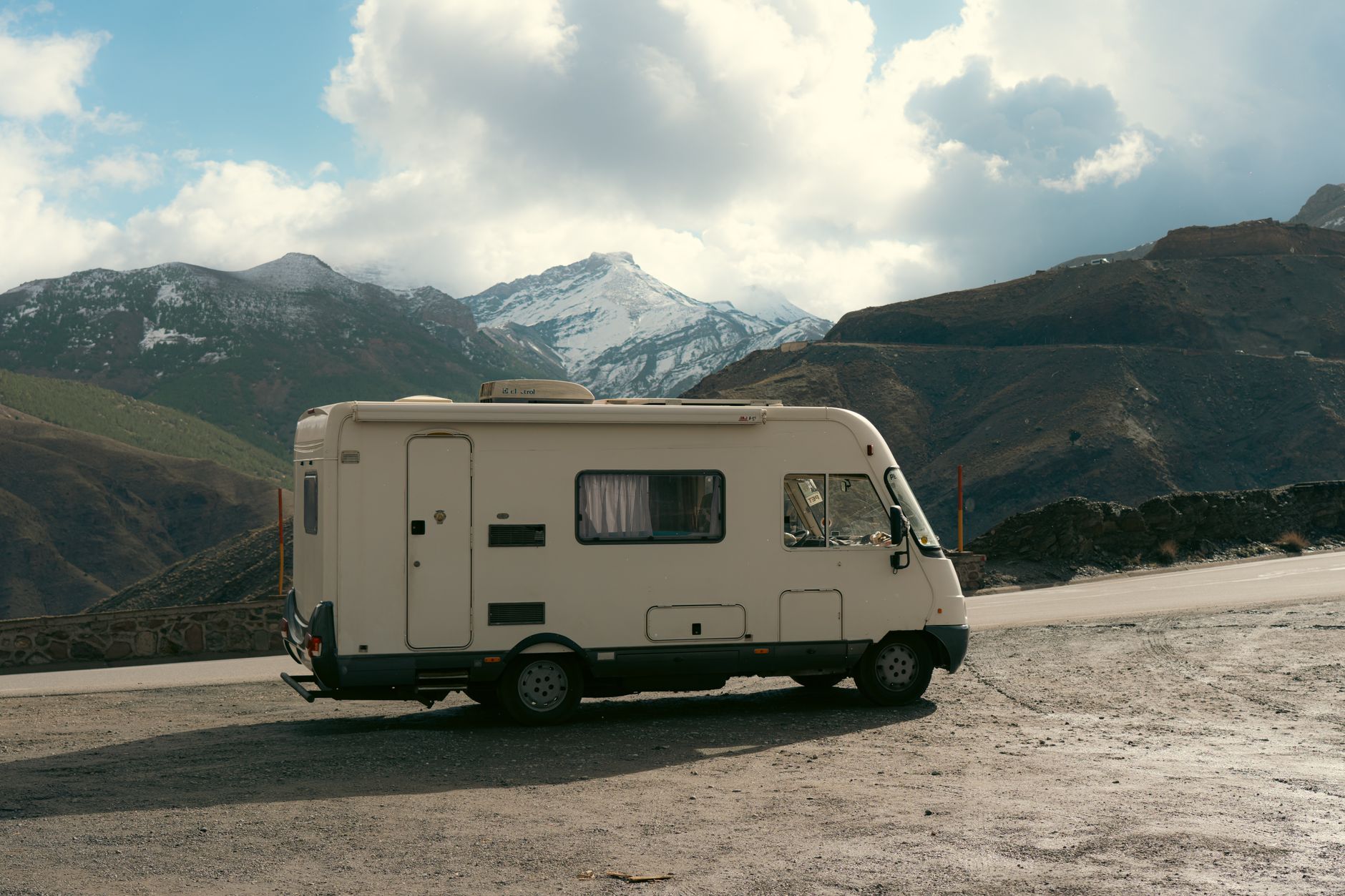
    Camper van parked on a road with snow-capped mountains in the background

    Poncha Springs sits at a real junction of two highways, which makes it a more reliable fuel point than many of the smaller stops along either route — useful to know when you’re mapping out where to plan fuel stops in advance, which is standard practice for longer RV trips through this part of the state.

    For travelers continuing in either direction from Poncha Springs — south toward the San Luis Valley, or west toward Gunnison over Monarch Pass — treating this junction as a mandatory fuel stop rather than an optional one is a reasonable habit, given how much sparser services become on both sides of it.

    Altitude and Engine Power

    Gas-powered RVs lose roughly 3% of engine power for every 1,000 feet of elevation gained. Poncha Springs sits around 7,500 feet, and the mountain passes on either side — Poncha Pass to the south and Monarch Pass to the west — climb considerably higher still. That power loss is worth factoring into how much of a climb you can comfortably manage, particularly for older or smaller-engine motorhomes.

    Diesel engines generally handle altitude power loss better than gas engines, which is part of why diesel pushers are common among full-time RVers who spend significant time in mountain states. If you’re renting or driving a gas-powered rig, building in extra time and patience for the climb — rather than expecting flatland performance — avoids a lot of frustration on the ascent.

    Camper van travels on a winding road surrounded by lush forest and mountains

    Managing Mountain Grades

    • Use a lower gear on descents rather than riding the brakes continuously — brake fade is a real risk on long mountain grades for heavy vehicles.
    • Check the forecast for both your current location and your destination before climbing a pass; storms can build quickly at altitude.
    • Standard passenger-car GPS apps can route RVs down roads with low bridges, weight restrictions, or grades unsuitable for large vehicles — an RV-specific navigation app is worth using instead.
    • Build in more time than a passenger car would need; a loaded rig climbing a mountain pass moves slower, and that’s normal, not a sign of a problem.
    RV camping setup with stunning mountain views

    Water, Dump Stations, and Planning Ahead

    Some of the most significant gaps for RV services in Colorado’s mountain corridors are for sani-dump stations rather than fuel, sometimes 60 or more miles apart in remote stretches. Apps like Campendium and iOverlander are widely used by RV travelers to locate dump stations and potable water refill points along a planned route — worth checking before you leave rather than assuming one will turn up when needed.

    A campervan travels on a winding road through a vibrant autumn forest

    Poncha Market functions as a fuel, food, and rest stop along this corridor; RV travelers should plan dump station stops separately using the tools above rather than assuming every fuel stop offers one.

    It’s worth building dump and water stops into your route planning the same way you’d plan fuel stops — as a fixed part of the itinerary rather than something to figure out on the fly once a tank is already getting full.

    Truck stops along major interstates sometimes waive dump fees if you’re also fueling up there, though that’s less common at smaller highway junctions like Poncha Springs. It’s worth calling ahead if a specific dump station’s availability or fee structure matters to your route planning.

    This kind of advance planning matters more the further you get from major interstate corridors. US-285 and US-50 through central Colorado are well-traveled highways, but they don’t have the density of truck stops and RV-specific services that an interstate corridor does, which is exactly why treating fuel, water, and dump stops as fixed waypoints rather than assumptions pays off here.

    What Poncha Market Offers RV Travelers

    NeedAvailable at Poncha Market
    FuelYes — gas pumps at the junction
    FoodYes — Mabel’s Deli, made-to-order
    RestroomsYes
    EV chargingYes — 8 Tesla Superchargers, though most RVs are not EVs
    Dump stationNot confirmed on-site; plan separately via RV-specific apps
    Camper van parked on the roadside with a stunning snowy mountain backdrop

    Frequently Asked Questions

    How far apart are gas stations for RVs in central Colorado?

    In more remote stretches, 60 to 100 miles is common, which is why topping off at junction towns like Poncha Springs rather than waiting is standard advice.

    Does altitude affect RV engine performance?

    Yes — gas engines typically lose about 3% of power per 1,000 feet of elevation, which is worth factoring into how a loaded rig will handle mountain grades.

    Is there a dump station at Poncha Market?

    This isn’t confirmed; RV travelers should plan dump stops separately using apps like Campendium or iOverlander rather than assuming one is available at every fuel stop.

    Should I use regular GPS for RV route planning?

    RV-specific navigation apps are generally recommended over standard car GPS, which can route large vehicles down roads with low bridges or weight restrictions.

    What mountain passes should RV drivers be cautious about near Poncha Springs?

    Poncha Pass to the south and Monarch Pass to the west are the two main climbs on either side of the junction.

    Do diesel or gas RVs handle altitude better?

    Diesel engines generally lose less power at altitude than gas engines, which is part of why diesel pushers are common among RVers who spend significant time in mountain states.

    How much slower should I expect to climb a mountain pass in an RV?

    Meaningfully slower than a passenger car, especially fully loaded or towing. Building extra time into your schedule for mountain climbs is standard practice rather than a sign anything is wrong.

    What should I check before towing a trailer over a Colorado mountain pass?

    Tire condition and pressure, brake function on both the tow vehicle and trailer, and current weather and road conditions are the basics worth confirming before any significant mountain grade.

    Is cell service reliable along this route for navigation?

    Coverage can be inconsistent in more remote stretches and near mountain summits; downloading offline maps before you leave a larger town is a reasonable precaution.

    Planning a route through central Colorado? Check our Monarch Pass driving guide or Poncha Pass driving guide before you climb.

    For general safe driving guidance around mountain grades, see the Federal Motor Carrier Safety Administration’s safe driving resources.
  • Is Gas Station Food Safe? A Road Tripper’s Guide

    Is Gas Station Food Safe? A Road Tripper’s Guide

    “Gas station food” carries a reputation, and not always a fair one. Some of it is genuinely worth skipping. Some of it — a real deli counter making sandwiches to order, like Mabel’s Deli inside Poncha Market — is a different category entirely. Here’s how to tell the difference, and what actually matters for food safety on the road.

    It’s a fair question to ask, and a common one among road trippers who don’t want to gamble their day on a bad meal. The honest answer is that “gas station food” isn’t one category of risk — it covers everything from shelf-stable snacks that are essentially risk-free, to hot food that’s been sitting under a heat lamp far longer than it should have, to a genuine deli counter making food to order the same way a sandwich shop would. Lumping all of that together does travelers a disservice.

    The Real Risks Worth Knowing About

    Most gas station food safety issues aren’t dramatic; they’re about freshness and basic handling. A few specific concerns come up consistently in food safety guidance for convenience stores:

    • Hot food sitting too long. Heat-lamp items like hot dogs or nacho cheese are meant to be eaten soon after they’re made, not left rotating for hours. Food that requires temperature control should generally be eaten within about four hours of being removed from proper refrigeration or heating.
    • Cross-contamination at self-serve stations. Shared condiment pumps, tongs, and nozzles are only as clean as the last person and the last restocking.
    • Stale packaged goods. Donuts, pastries, and other baked goods can sit on a rack far longer than their quality suggests, even if they’re technically still within a sell-by date.
    Colorful snack packages neatly displayed in a store aisle

    None of this is meant to be alarming — the vast majority of gas station food, hot or packaged, is eaten every day without incident. The point is simply that a little observation goes a long way toward telling a genuinely safe stop from one worth skipping.

    Red Flags to Actually Watch For

    Food safety experts generally point to a handful of observable signs, rather than anything you need lab equipment to check:

    • A dirty or poorly maintained restroom is a strong indicator of how seriously the whole store treats cleanliness, food included.
    • Staff who aren’t washing hands, wearing gloves, or keeping food-prep surfaces clean while you’re watching.
    • A well-stocked hot food case at a store that otherwise looks neglected or nearly abandoned — a mismatch worth noticing.
    • Nacho cheese sauce and similar shelf-stable dispensed sauces left improperly stored; these have been linked to serious illness, including botulism, in isolated but well-documented past cases.
    A vibrant display of snacks and beverages on store shelves

    Safer Choices at a Typical Gas Station

    If you’re at a stop without a real kitchen or deli counter, packaged and shelf-stable options are generally the safer bet:

    • Jerky, roasted nuts, granola bars, and trail mix travel well and don’t rely on refrigeration being handled correctly.
    • Whole fruit — apples, bananas, oranges — is self-contained and doesn’t depend on store handling practices the way cut fruit does.
    • Sealed, packaged sandwiches from a refrigerated case are generally safer than food sitting under a heat lamp, provided the case itself is actually cold.
    The general rule of thumb food safety guidance repeats often is worth internalizing: the more a food item has been exposed to open air, ambient temperature, and repeated handling by other customers, the more it depends on that specific store’s practices to stay safe. A sealed granola bar doesn’t care how clean the store is. A scoop of cut fruit sitting in an open case absolutely does.

    This is also why road trip food advice consistently recommends packing a few shelf-stable items from home before you leave, rather than relying entirely on whatever’s available at your stops. It’s not about avoiding gas stations altogether — it’s about having a reliable backup that doesn’t depend on any single store’s standards.

    What Actually Makes a Deli Counter Different

    The distinction that matters most isn’t “gas station” versus “not gas station” — it’s made-to-order versus sitting-out. At Mabel’s Deli, sandwiches are built when you order them, with vegetables cut fresh rather than pulled from a bin, which sidesteps most of the actual risk factors that make some gas station food questionable: extended sitting time, repeated handling, and unclear holding temperatures.

    Chef slicing a red onion on a cutting board with fresh ingredients

    That’s a genuinely different food safety profile than a hot dog that’s been rotating on a roller grill since morning, even though both would get filed under the same “gas station food” label by a skeptical traveler.

    The broader lesson generalizes well beyond any one stop: the “gas station food” label describes where a business is located, not how the food inside is actually prepared. A made-to-order counter inside a gas station has more in common, food-safety-wise, with a sandwich shop than it does with a heat-lamp hot dog case two pumps over — even though both are technically “gas station food” by location alone.

    Deli prep station at Poncha Market with fresh ingredients ready to order

    This distinction matters most for travelers on long, multi-stop road trips, where the temptation is to grab whatever’s fastest without really looking at what’s on offer. Taking thirty extra seconds to notice whether a counter is actually preparing food versus reheating something that’s been sitting for hours is a small habit that pays off more than people expect.

    A Simple Checklist Before You Buy

    CheckWhat It Tells You
    Restroom cleanlinessA proxy for overall store hygiene standards
    Staff hygiene practicesGloves, handwashing, and clean surfaces during prep
    Made-to-order vs. sitting outFresh preparation lowers most real risk factors
    General store upkeepNeglect in one area often reflects neglect elsewhere
    Shelf packed with a variety of snacks in a store

    Frequently Asked Questions

    Is gas station food generally safe to eat?

    It depends heavily on the specific location. Packaged snacks are almost always fine; hot food quality and safety vary a lot by store, staff practices, and how long items have been sitting out.

    What gas station foods should I avoid?

    Items that sit under heat lamps for extended periods, improperly stored dispensed sauces, and stale baked goods are the most commonly flagged concerns.

    What are the safest gas station snacks?

    Sealed packaged snacks like nuts, jerky, and granola bars, along with whole fruit, are generally considered the safest, lowest-risk options.

    Is a made-to-order deli safer than pre-made gas station food?

    Generally, yes — made-to-order preparation avoids the extended sitting time and repeated handling that create most of the actual risk in pre-made hot food cases.

    How can I tell if a gas station takes food safety seriously?

    Restroom cleanliness and visible staff hygiene practices are two of the most reliable, easily observable indicators.

    Should I avoid gas station food entirely on road trips?

    No — that’s more caution than necessary. The goal is knowing what to look for and what to choose, not avoiding these stops altogether, especially when a stop has a real made-to-order counter rather than only heat-lamp options.

    How long can perishable food safely sit out?

    Food requiring temperature control should generally be eaten within about four hours of leaving proper refrigeration or heating, a standard food safety benchmark that applies well beyond gas stations specifically.

    Want a genuinely different option? See our Mabel’s Deli menu guide for what made-to-order actually looks like at a real gas station stop.

    For detailed guidance on safe food handling and storage, see the USDA Food Safety and Inspection Service.

  • Buena Vista vs. Poncha Springs: Which Is the Better Road Trip Stop?

    Buena Vista vs. Poncha Springs: Which Is the Better Road Trip Stop?

    Buena Vista and Poncha Springs sit less than 25 miles apart along the same central Colorado corridor, both serving travelers moving through on US-285 and US-24. They’re different enough, though, that which one makes the better stop really depends on what you’re after.

    The Basics: Two Different Kinds of Towns

    Buena Vista is a mountain town of just under 3,000 people, sitting at almost 8,000 feet between the Collegiate Peaks and the Arkansas River. It has its own downtown, shops, restaurants, and a genuine tourism identity built around outdoor recreation.

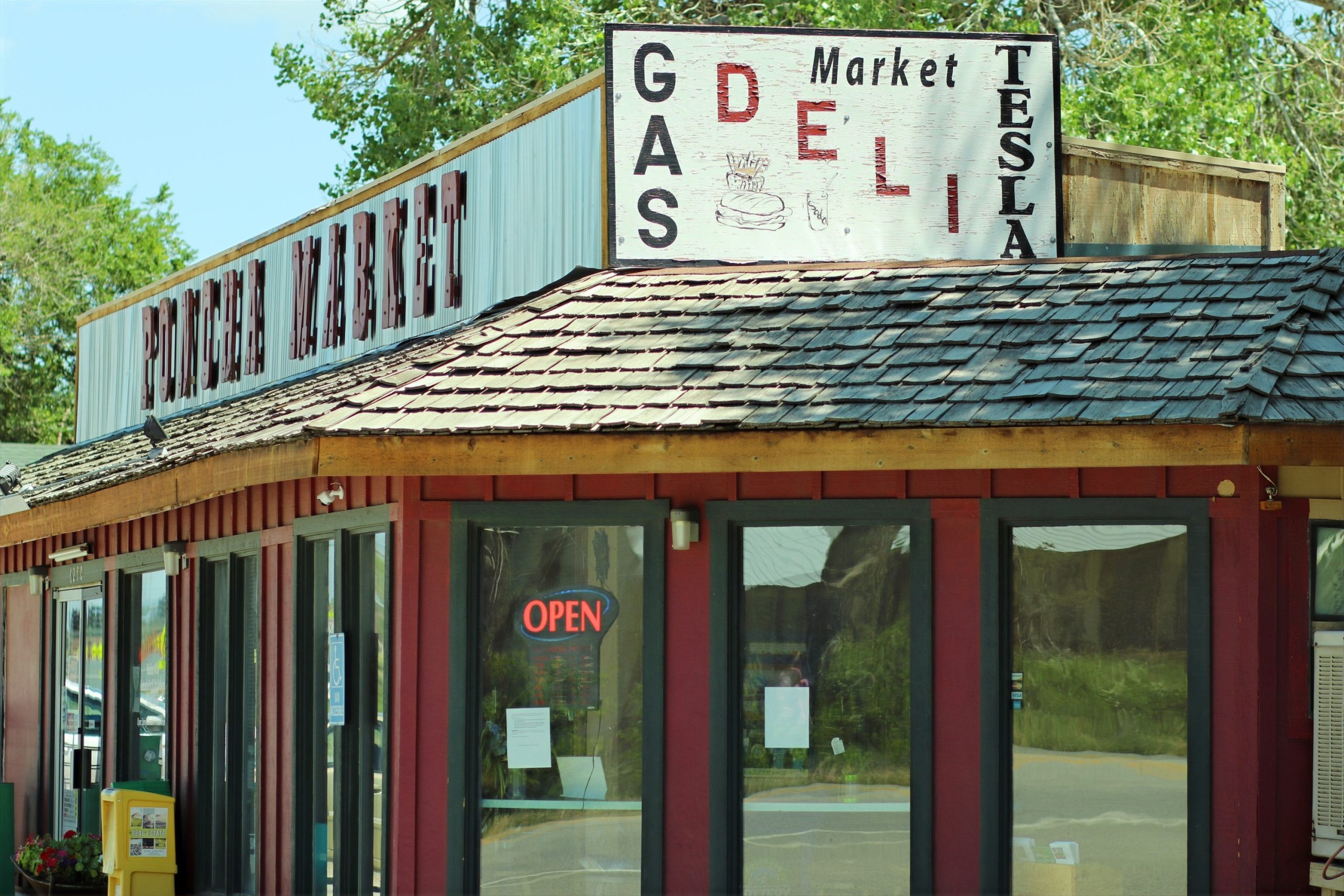
    Poncha Market in Poncha Springs is a different kind of stop entirely — not a town center to wander, but a single, family-run gas station, convenience store, and deli sitting directly at the US-50/US-285 junction, functioning as a fast, efficient waypoint rather than a destination in itself.

    Neither is objectively “better” in the abstract — they’re built for different moments in a road trip. Buena Vista is worth carving out real time for; Poncha Springs is built for travelers who need to keep moving but still want the stop itself to be worthwhile.

    This comparison also isn’t really an either-or decision for most travelers, since the two are close enough together to fit into the same day. Where it does matter is in setting expectations: knowing which kind of stop you’re pulling into changes how you plan your time, your route, and even what you pack for the stop itself — a quick highway fuel-up looks different from a planned walk around a downtown.

    Snow-covered Rocky Mountains in Colorado high country

    Where Buena Vista Wins

    • Restaurant variety — Buena Vista has multiple sit-down restaurants and cafes, more than any single stop in Poncha Springs offers.
    • Whitewater recreation — Buena Vista’s whitewater park is the largest in Colorado, with river surfing, kayaking, and paddleboarding right in town.
    • A walkable downtown — if you want to get out of the car and browse shops or galleries, Buena Vista offers that; Poncha Springs doesn’t have an equivalent downtown core.
    • Scenic detours nearby — Cottonwood Pass, reached via Buena Vista, is a popular sunset viewpoint accessible from town.
    • Lodging variety — Buena Vista has a range of hotels, inns, and vacation rentals for travelers planning an overnight stay rather than passing through.
    Expansive view of the Rocky Mountains with snow-covered peaks in Colorado

    For travelers building a multi-day itinerary rather than a single pass-through, Buena Vista’s range of activities — rafting, mountain biking on trails like Midland and Whipple, hiking toward Mount Princeton or the Lost Lake Trail, and rock climbing — makes it a legitimate home base rather than just a stop.

    Where Poncha Springs Wins

    • Speed — Poncha Market combines gas, food, and restrooms in one stop directly on the highway, without needing to exit and navigate into a town center.
    • EV charging8 Tesla Superchargers operate 24/7 at Poncha Market; Buena Vista does not have an equivalent on-site Supercharger station directly downtown.
    • The junction itself — Poncha Springs sits exactly at the US-50/US-285 split, making it the natural decision point if you’re choosing between routes toward Gunnison or south toward the San Luis Valley.
    • A genuinely different food optionMabel’s Deli‘s made-to-order sandwiches are a real point of differentiation from typical gas-station food, without requiring a detour off the highway.
    • No detour required — Poncha Market sits directly on both US-50 and US-285, while Buena Vista requires leaving the highway and driving into town.
    Exterior view of Poncha Market gas station and convenience store

    For travelers on a tight schedule, or those who’ve already spent their available time elsewhere and just need an efficient stop before continuing, that lack of a required detour is a real practical advantage — there’s no risk of a “quick stop” in town turning into an hour once you’re parked and walking around.

    A Note on Charging and Fueling

    For EV drivers specifically, this comparison isn’t really close: Poncha Market’s 8 Tesla Superchargers operate 24 hours a day directly at the US-50/US-285 junction, while Buena Vista doesn’t offer an equivalent fast-charging option in town. That single factor makes Poncha Springs the more practical stop for any EV road trip through this corridor, regardless of which town otherwise appeals more for a break.

    For gas vehicles, the calculus is more even — both towns have fuel available, and the choice comes down more to whether you want a quick stop or a longer break with more to do.

    Winter adds another layer to the decision. If you’re navigating Poncha Pass or Monarch Pass in poor conditions, a fast, no-detour stop at Poncha Market may be preferable to adding the extra driving required to reach Buena Vista’s downtown and back, particularly late in the day when daylight and road conditions both matter more.

    Side-by-Side Comparison

    Buena VistaPoncha Springs (Poncha Market)
    Population / type~3,000, full mountain townSmall junction community, single business stop
    Restaurant varietyMultiple sit-down optionsOne deli counter, made-to-order
    EV Supercharging on-siteNoYes — 8 stalls, 24/7
    Whitewater recreationWhitewater park in townNearby via Browns Canyon, a short drive
    Best forA longer break, browsing, dining outA fast, efficient fuel-food-charge stop

    Can You Do Both?

    Easily. Since the two are less than half an hour apart, many travelers treat this stretch as one combined stop rather than choosing between them: fuel and charge at Poncha Market, then continue to Buena Vista for a longer break, a meal out, or an afternoon at the whitewater park. Coming from the south on US-285, the order simply reverses.

    Serene view of snow-covered Rocky Mountains during sunset

    Frequently Asked Questions

    Is Buena Vista bigger than Poncha Springs?

    Yes — Buena Vista is a full town of just under 3,000 people with its own downtown, while Poncha Springs is a smaller junction community.

    Does Poncha Springs have restaurants like Buena Vista?

    Not in the same sense. Poncha Springs’ main food option is Mabel’s Deli inside Poncha Market, rather than a downtown with multiple sit-down restaurants.

    Which town has EV charging?

    Poncha Market in Poncha Springs has 8 Tesla Superchargers on-site, available 24/7.

    How far apart are Buena Vista and Poncha Springs?

    Less than 25 miles, making it realistic to stop at both on the same trip.

    Which is the better stop for a quick break?

    Poncha Springs, for speed and convenience directly on the highway; Buena Vista, if you have more time and want a fuller town experience.

    Can I visit both towns in one trip?

    Yes — they’re less than 25 miles apart, and many travelers combine a fast Poncha Market stop with a longer visit to Buena Vista on the same trip.

    Which town is better for outdoor activities?

    Buena Vista, with in-town whitewater access, mountain biking trails, and hiking routes; Poncha Springs functions more as a waypoint to nearby activities like Browns Canyon rafting rather than a hub for them.

    Does Buena Vista have EV charging?

    Not an equivalent on-site Supercharger station; Poncha Market’s 8 Tesla Superchargers in Poncha Springs remain the more direct option for Tesla drivers on this corridor.

    Which town has better food options?

    Buena Vista offers more restaurant variety overall; Poncha Springs offers one standout made-to-order option in Mabel’s Deli without requiring a detour off the highway.

    Whichever way you’re headed, knowing the difference in advance means arriving with the right expectations — a quick, efficient waypoint at one end of the drive, and a fuller mountain-town stop at the other.

    Stopping at Poncha Market first? Check the full deli menu guide, or see what’s available on-site before you continue toward Buena Vista.

    For official Buena Vista visitor information, see the Town of Buena Vista’s official site.

  • Sawatch Range 14ers Near Poncha Springs: A Hiker’s Guide

    Sawatch Range 14ers Near Poncha Springs: A Hiker’s Guide

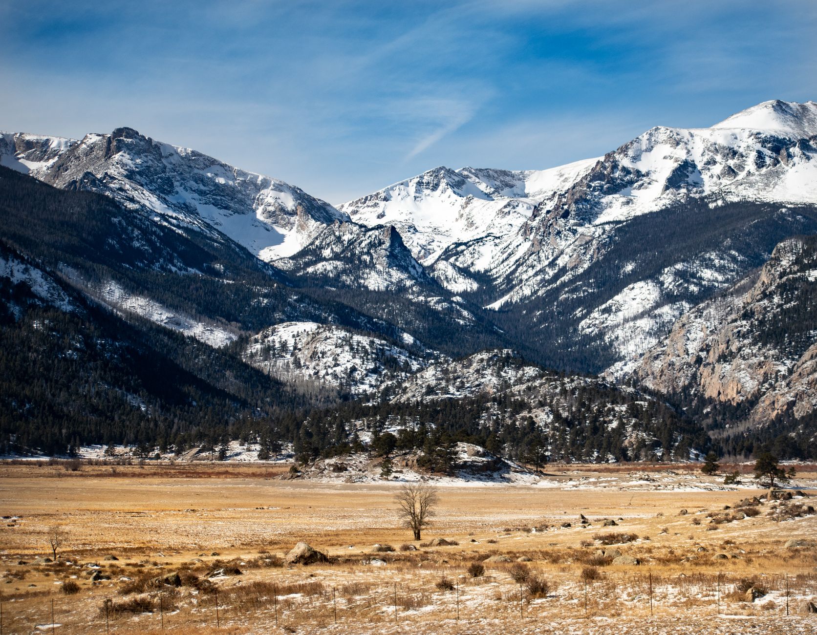
    The Sawatch Range, visible from Poncha Market in Poncha Springs, holds more of Colorado’s fourteeners — peaks over 14,000 feet — than any other range in the state. Several of the most accessible ones sit within a short drive, making this stretch of central Colorado a genuine base camp for 14er hiking rather than just a highway junction.

    Colorado has 58 recognized fourteeners in total, and the Sawatch Range, running roughly between Leadville and Salida, accounts for a disproportionate share of them. For hikers working through a 14ers checklist, or simply looking for one accessible, well-documented mountain to try for the first time, this stretch of the range is one of the more approachable places to start.

    Mount Shavano (14,229 ft)

    Mount Shavano fronts US Highway 285 just north of Poncha Springs, making it the closest major fourteener to town and, by most accounts, the easiest one to reach from Salida. It’s known for the Angel of Shavano, a snow formation on its east face shaped like a winged figure, visible in spring and early summer as the snowpack melts unevenly across the mountain’s contours.

    Shavano is often climbed together with the neighboring Tabeguache Peak, itself a fourteener separated from Shavano’s summit by less than a mile of ridge — a common way for hikers to summit two peaks in a single long day rather than returning separately for each.

    A lone hiker stands silhouetted against a stunning sunrise sky on a mountain trail

    Mount Antero (14,276 ft)

    The highest peak in the southern Sawatch Range, Mount Antero is visible from US Highway 24 between Johnson Village and Salida. Antero and its neighbor Mount White are locally well known for the gem and mineral deposits mined from their slopes — smoky quartz and aquamarine among them — which draws a mix of hikers and rockhounds rather than climbers alone.

    Because a rough four-wheel-drive road runs high up the mountain toward old mining claims, Antero is climbed by some hikers on foot and driven partway up by others in high-clearance vehicles — worth knowing before you plan your specific route, since the standard hiking approach and the mining-road approach are genuinely different experiences of the same mountain.

    Backpacker stands on a peak, admiring a snow-covered mountain range

    Mount Princeton (14,197 ft)

    Also visible from US-24 between Johnson Village and Salida, Mount Princeton is generally rated a Class 2 climb — meaning off-trail scrambling is involved but no technical climbing equipment is required for the standard route. It shares its name with the nearby hot springs resort at its base, which makes for a natural pairing: a hike up, a soak down at the bottom afterward.

    Princeton is one of the more commonly recommended fourteeners for hikers attempting their first one, largely because its standard route is well-documented and doesn’t require the exposed scrambling that some other Sawatch peaks demand near their summits.

    Comparing the Three

    PeakElevationDifficultyKnown For
    Mount Shavano14,229 ftClass 2Closest to Salida; the Angel of Shavano snow formation
    Mount Antero14,276 ftClass 2Highest in the southern Sawatch; gem and mineral deposits
    Mount Princeton14,197 ftClass 2Paired with Mount Princeton Hot Springs at its base
    A hiker stands on a rocky peak in Colorado, showcasing advanced alpine terrain

    How Difficult Are These Compared to Other Colorado 14ers?

    Colorado’s 58 fourteeners range from straightforward hikes to genuinely technical climbs requiring ropes and climbing experience. Shavano, Antero, and Princeton all sit toward the easier end of that spectrum — none require technical gear on their standard routes — but “easier 14er” still means a long day, typically 8 to 12 miles round trip with 4,000 or more feet of elevation gain, at an altitude where every step takes more effort than it would at sea level.

    That distinction matters for planning: these are approachable fourteeners by Colorado standards, not easy hikes in any general sense. Treat a first attempt at any of them as a full-day commitment requiring real fitness and altitude acclimatization, not a casual afternoon outing. Hikers coming from lower elevations, in particular, should plan an extra day or two in the area beforehand to acclimatize rather than attempting a summit the same day they arrive.

    Planning a Safe Climb

    Colorado 14er hiking follows a well-established set of safety norms, largely built around avoiding afternoon thunderstorms, which are common in the high country and genuinely dangerous above treeline.

    • Start early — most experienced 14er hikers aim to summit before noon and be well below treeline before afternoon storms typically build.
    • Check the weather forecast specifically for the peak, not just the nearest town; conditions at 14,000 feet can differ sharply from the valley floor.
    • Carry more water than feels necessary; altitude and exertion both increase dehydration risk.
    • Tell someone your planned route and expected return time before you start.
    • None of these three peaks requires technical climbing gear on their standard routes, but all three demand real physical fitness and acclimatization to altitude.
    Adventurous hike on a rocky alpine trail

    Fueling Up Before a Climb

    Most 14er attempts start well before sunrise, which means Poncha Market‘s hours matter less than its convenience — gas, restrooms, and a real breakfast sandwich or burrito rather than a vending machine, either the night before or the morning of an early trailhead departure.

    It’s also a practical last stop for anything forgotten — extra water, snacks, sunscreen — before heading to a trailhead where none of that will be available again until you’re back at the car, often eight or more hours later.

    After the Hike: Recovery and a Real Meal

    A full day on a fourteener burns a genuinely large number of calories between the elevation gain, the altitude, and the length of the round trip. Coming back through Poncha Springs on the way home is a natural point to refuel properly rather than pushing straight through on gas station snacks — the same made-to-order deli food that makes sense before a climb works just as well as a reward afterward. Rehydrating properly matters too; altitude hiking dehydrates faster than most people expect, even on a cool day.

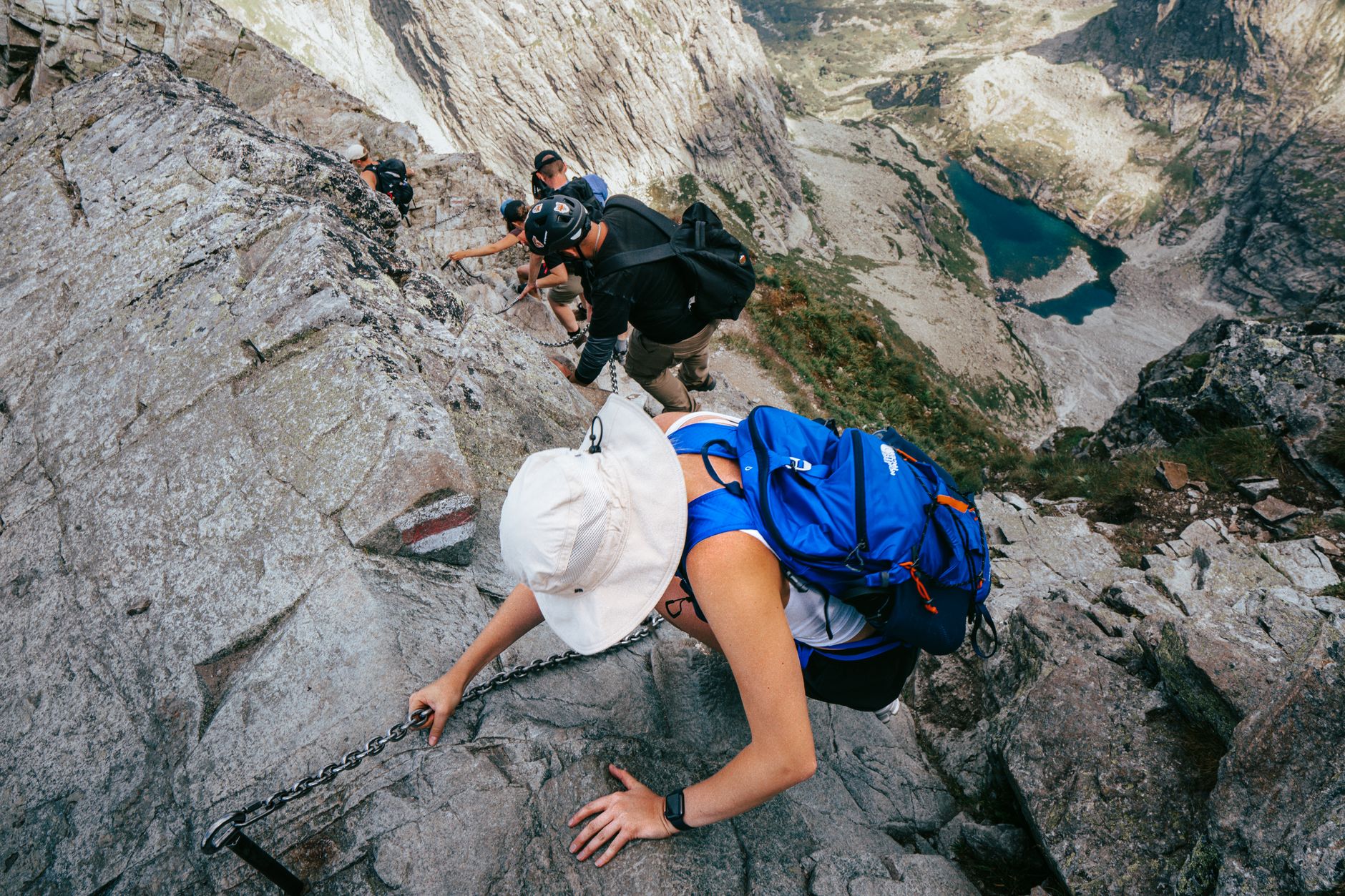
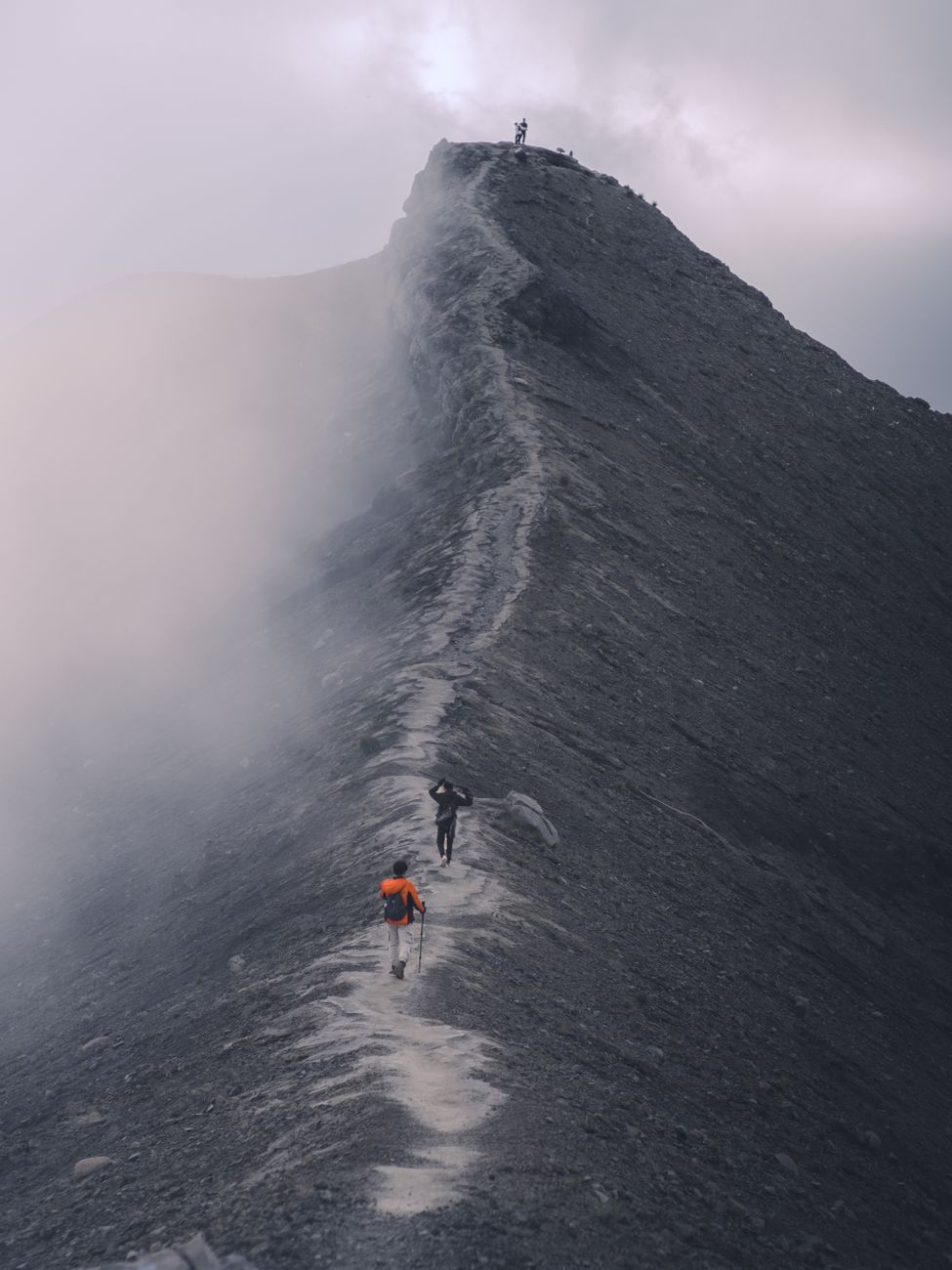
    Hikers traverse a dramatic mist-covered mountain ridge

    Frequently Asked Questions

    What is the closest fourteener to Poncha Springs?

    Mount Shavano, which fronts US Highway 285 just north of town, is generally considered the closest and most accessible from the Poncha Springs and Salida area.

    Are these fourteeners technical climbs?

    No — Shavano, Antero, and Princeton are all rated Class 2 on their standard routes, meaning scrambling but no technical climbing gear.

    Why is Mount Antero known for gems?

    Antero and neighboring Mount White have long been mined for smoky quartz and aquamarine, drawing rockhounds alongside hikers.

    Can I combine a 14er hike with a hot springs soak?

    Yes — Mount Princeton sits directly above Mount Princeton Hot Springs, making the pairing especially convenient. See our Chaffee County hot springs guide for details.

    Do I need a permit to hike these fourteeners?

    No permit is required for Shavano, Antero, or Princeton, though trailhead parking can fill on popular summer weekends, so an early arrival helps secure a spot as much as it helps beat afternoon storms.

    When is the best time to hike these peaks?

    Summer, generally with an early-morning start to summit before afternoon thunderstorms build, which is standard practice for Colorado 14er hiking generally.

    Heading out early? Fuel up at Poncha Market, or pair your hike with a soak at one of the nearby hot springs.

    For detailed route descriptions, trip reports, and current conditions on these and other Colorado 14ers, see 14ers.com.

  • Chaffee County Hot Springs Guide Near Poncha Springs

    Chaffee County Hot Springs Guide Near Poncha Springs

    Chaffee County, home to Poncha Market in Poncha Springs, sits in a wide alpine valley ringed by fourteeners — and directly beneath it runs a string of natural geothermal water that surfaces at several well-known hot springs within a short drive. If you’re passing through and want to soak instead of just drive, here’s where to go.

    This part of Colorado has enough natural hot springs within a short radius that a regional tourism designation, the Colorado Historic Hot Springs Loop, was built specifically to guide travelers between them — a sign of just how many genuine options exist here compared to most of the state. That loop stretches well beyond Chaffee County alone, but the concentration of springs around Poncha Springs, Nathrop, Buena Vista, and Salida is one of its densest stretches.

    Mount Princeton Hot Springs

    The biggest hot springs resort in the county, Mount Princeton Hot Springs sits in Nathrop, roughly midway between Buena Vista and Salida. The property has operated since 1879, making it one of the oldest continuously used hot springs destinations in the state, and it offers a range of soaking and swimming pools filled with natural hot spring water at different temperatures.

    Because it’s the largest and most developed of the options nearby, Mount Princeton also tends to be the busiest, particularly on weekends and holidays. Its long operating history and range of pool temperatures make it a reasonable default choice for first-time visitors to the area who aren’t sure which hot spring to pick. Arriving earlier in the day, when possible, generally means shorter waits and a quieter soak.

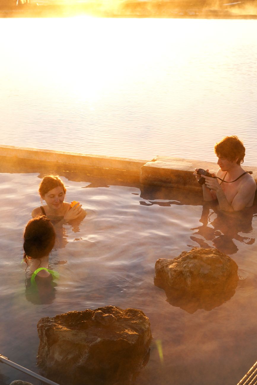
    Three adults enjoying a peaceful soak in a hot spring at sunset

    Cottonwood Hot Springs

    Cottonwood Hot Springs Inn & Spa, also near Buena Vista, offers a quieter, smaller-scale soaking experience than Mount Princeton, with lodging on-site for visitors who want to stay near the springs rather than just pass through for an afternoon.

    Salida Hot Springs Aquatic Center

    In town in Salida itself, the Salida Hot Springs Aquatic Center is known as the largest indoor hot springs facility in North America and functions as much as a community gathering place as a tourist stop — a practical option if you want a hot soak without a long drive out of town, or if weather makes an outdoor pool less appealing.

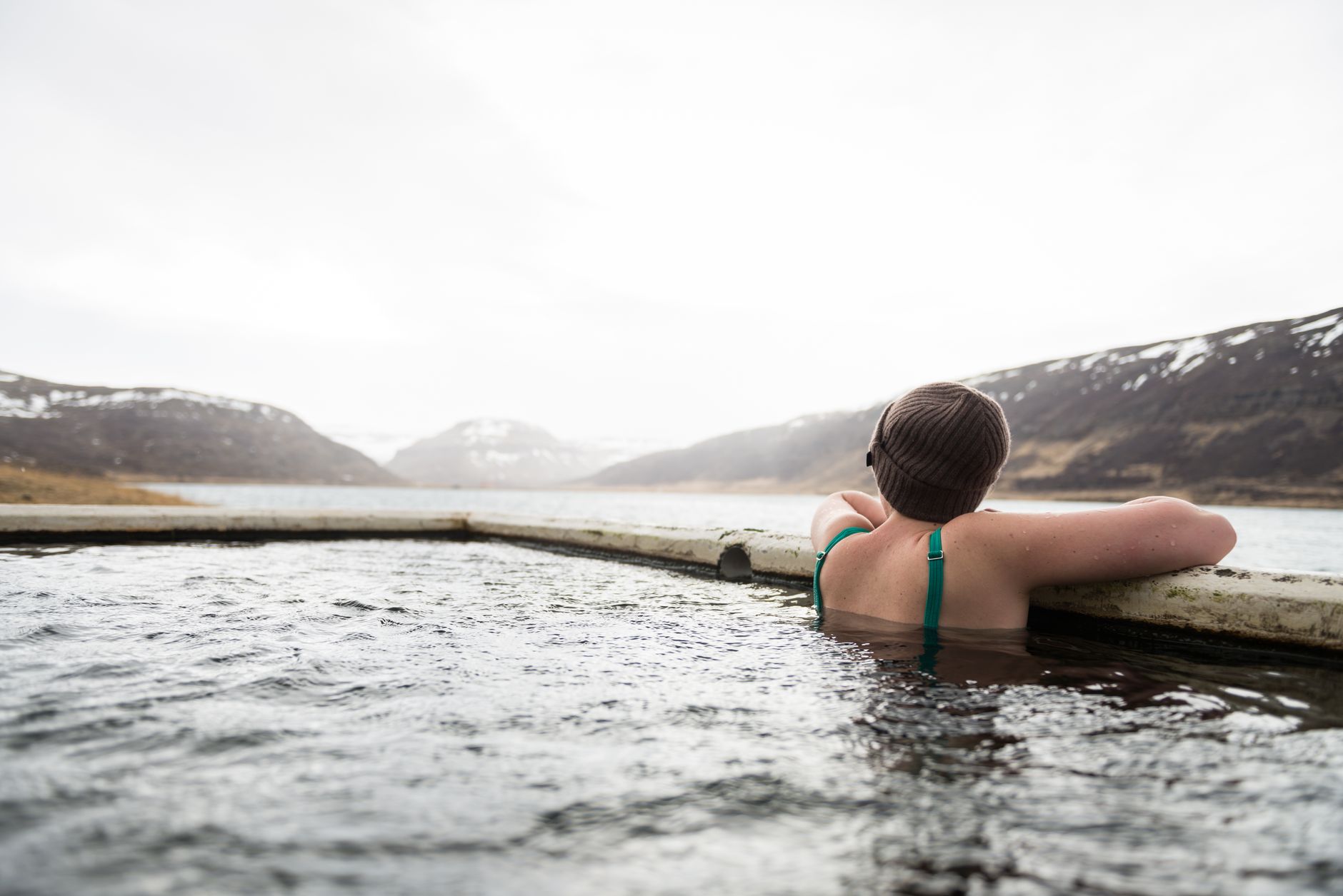
    A woman enjoys a relaxing dip in an outdoor hot spring pool surrounded by snowy woods

    Antero Hot Springs Cabins

    For a smaller, more secluded option, Antero Hot Springs Cabins offers private hot spring soaking tied to cabin stays, generally a better fit for travelers looking for privacy over a resort-style pool scene.

    Unlike the larger resort-style pools, cabin-based soaking means the spring is typically reserved for your group alone during your stay, rather than shared with other visitors — a meaningful difference for travelers who find a crowded pool deck less appealing than the soak itself.

    Choosing Between Them Based on What You Want

    These four options aren’t really competing for the same visitor. A family looking for a resort day with multiple pool temperatures and on-site amenities is better served by Mount Princeton. A couple wanting a quiet overnight stay built around soaking is better served by Cottonwood. Someone who just wants a hot pool without leaving Salida itself should head straight for the Aquatic Center. And travelers prioritizing privacy over amenities should look at Antero’s cabin-based model instead.

    Comparing the Options

    LocationStyleDistance from Poncha Springs (approx.)
    Mount Princeton Hot SpringsLarge resort, multiple pools~20 minutes
    Cottonwood Hot SpringsSmaller, quieter, with lodging~25 minutes
    Salida Hot Springs Aquatic CenterIndoor community pool facility~10 minutes
    Antero Hot Springs CabinsPrivate, cabin-based soaking~20 minutes
    Relaxing hot spring pool in scenic mountains with clear water

    Planning a Hot Springs Day (or Half-Day)

    Most of these options sit close enough to Poncha Market that a hot springs stop pairs naturally with fuel, food, or an EV charging session — either on the way in or the way out. Winter is a particularly popular time to visit, since soaking in naturally heated water against a backdrop of snow is one of those experiences that’s genuinely better in cold weather than warm.

    Summer visits are worth planning slightly differently. Pool water that feels pleasant in freezing air can feel considerably less refreshing on a hot July afternoon, so many locals treat these springs as more of a cool-morning or evening activity once summer temperatures climb, rather than a midday stop.

    • Bring a towel and a change of clothes — not every location provides them.
    • Winter visits often mean walking a short, cold stretch from the changing area to the pool; footwear you don’t mind getting wet helps.
    • Some locations require reservations, especially on weekends; calling ahead is worth it rather than assuming walk-in availability.
    • Combine a soak with a meal at Mabel’s Deli either before or after — a warm meal pairs well with a cold-weather soak in either direction.
    Group of people enjoying natural hot springs outdoors with steam rising

    Why This Area Has So Many Hot Springs

    The concentration of hot springs around Chaffee County isn’t a coincidence — it’s tied to the same geology that built the surrounding mountains. Fault lines running along the base of the Sawatch Range allow geothermally heated groundwater to rise close enough to the surface to feed natural springs at several points along the valley, which is why this stretch of Colorado has more named hot springs within a short drive of each other than most of the state.

    A steaming natural hot spring set against a dramatic mountain landscape

    Frequently Asked Questions

    What is the biggest hot springs resort near Poncha Springs?

    Mount Princeton Hot Springs, in Nathrop, is the largest in Chaffee County and has operated since 1879.

    Is there an indoor hot springs option?

    Yes — the Salida Hot Springs Aquatic Center is an indoor facility described as the largest indoor hot springs facility in North America.

    How far are the hot springs from Poncha Market?

    Most options are within about 10 to 25 minutes by car, making a soak an easy add-on to a fuel or food stop at Poncha Market.

    Do I need a reservation for the hot springs?

    It depends on the location and season; weekends and winter are busier, so calling ahead is a reasonable precaution.

    Is soaking in hot springs good in winter?

    Many visitors consider winter the best season for hot springs specifically because of the contrast between the cold air and heated water.

    Why does Chaffee County have so many hot springs?

    Fault lines along the base of the Sawatch Range allow geothermally heated groundwater to surface at several distinct points across the valley, rather than at just one location.

    Which hot spring is best for a family with kids?

    Mount Princeton Hot Springs, with its range of pool temperatures and larger resort setup, is generally the most family-friendly of the options in the area.

    Which hot spring is quietest or most private?

    Antero Hot Springs Cabins, since soaking is tied to a private cabin stay rather than a shared resort pool deck.

    Can I visit a hot spring and a fourteener on the same trip?

    Yes — Mount Princeton Hot Springs sits directly below Mount Princeton itself, making the pairing especially convenient. See our Sawatch Range 14ers guide.

    Planning a soak? Fuel up and eat at Poncha Market first, or see our Buena Vista vs. Poncha Springs guide for more on the area.

    For a broader regional overview of the area’s hot springs, see the Colorado Historic Hot Springs Loop’s Chaffee County guide.