
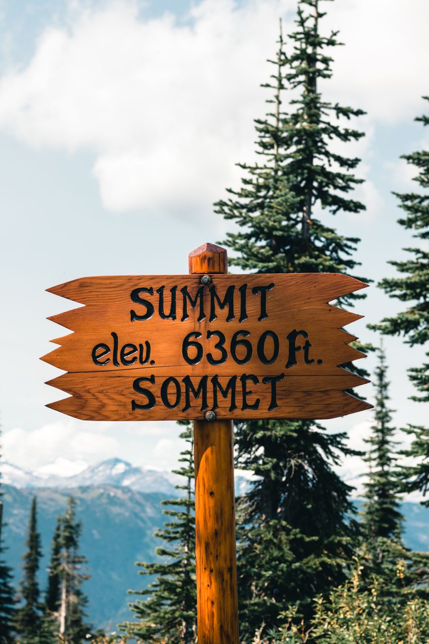
Six miles south of Poncha Market, US Highway 285 climbs out of the Arkansas River valley and over Poncha Pass — a 9,010-foot summit that marks the divide between the Arkansas and Rio Grande watersheds. It’s not one of Colorado’s famous high-alpine passes, but it’s a real climb, and it catches some drivers off guard.
This guide covers what the climb actually involves, when winter weather becomes a factor, and where to fuel up, check tire pressure, or top off an EV before you start the ascent.
How High Is Poncha Pass, and How Steep Is the Climb?
Poncha Pass sits at 9,010 feet, roughly 1,500 feet higher than Poncha Springs itself at around 7,500 feet. The highway is fully paved on both sides, and grades on the climb run up to roughly 5% on the steeper southern approach — noticeable for a loaded vehicle or a trailer, but well within normal passenger-vehicle capability in good conditions.
Unlike some of Colorado’s higher mountain passes, Poncha Pass stays open year-round. That’s good news for planning a route, but it also means winter driving conditions are something every driver crossing it needs to actually plan for, not just something to check if the forecast looks bad.
Why the Pass Matters: The Watershed Divide
Poncha Pass marks the divide between the Arkansas River watershed to the north and the Rio Grande watershed to the south. Water falling on the north side of the summit eventually flows toward the Arkansas River and, ultimately, the Mississippi; water on the south side flows into the Rio Grande basin and the San Luis Valley. It’s a subtle detail on a drive, but it explains why the pass has long served as a natural dividing line for travel routes through this part of Colorado, not just a modern highway alignment.
From the top, the summit offers views of both the Sangre de Cristo range to the south and the Sawatch Range to the north — worth a short stop if you have the time, even if you’re not planning to linger.
Winter Driving: What to Expect
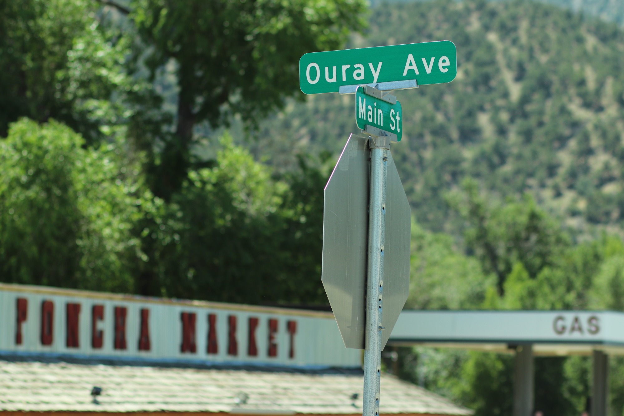
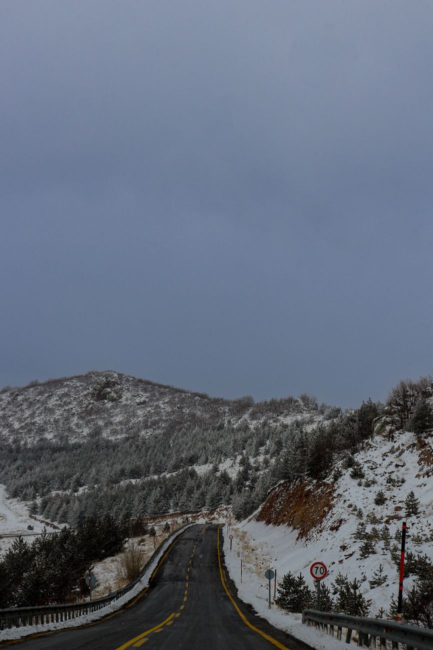
Snow and icy patches are common on Poncha Pass from late fall through spring, and Colorado’s chain law can apply to commercial vehicles and, in more severe conditions, to passenger vehicles as well. The Colorado Department of Transportation tracks mountain corridor rules and seasonal restrictions statewide, and it’s worth checking before a winter crossing rather than assuming the road will be clear.
- Check current road conditions before you leave — conditions on a 9,000-foot pass can differ sharply from conditions in town, even a few miles away.
- Carry tire chains or traction devices in winter months, even if you don’t expect to need them.
- Reduce speed on the descent, not just the climb — loss of traction on the downhill side is a common cause of slide-offs on mountain passes generally.
- Top off fuel or EV charge before starting the climb rather than after — there’s no service directly on the pass itself.
A Note for Truckers and Long-Haul Drivers
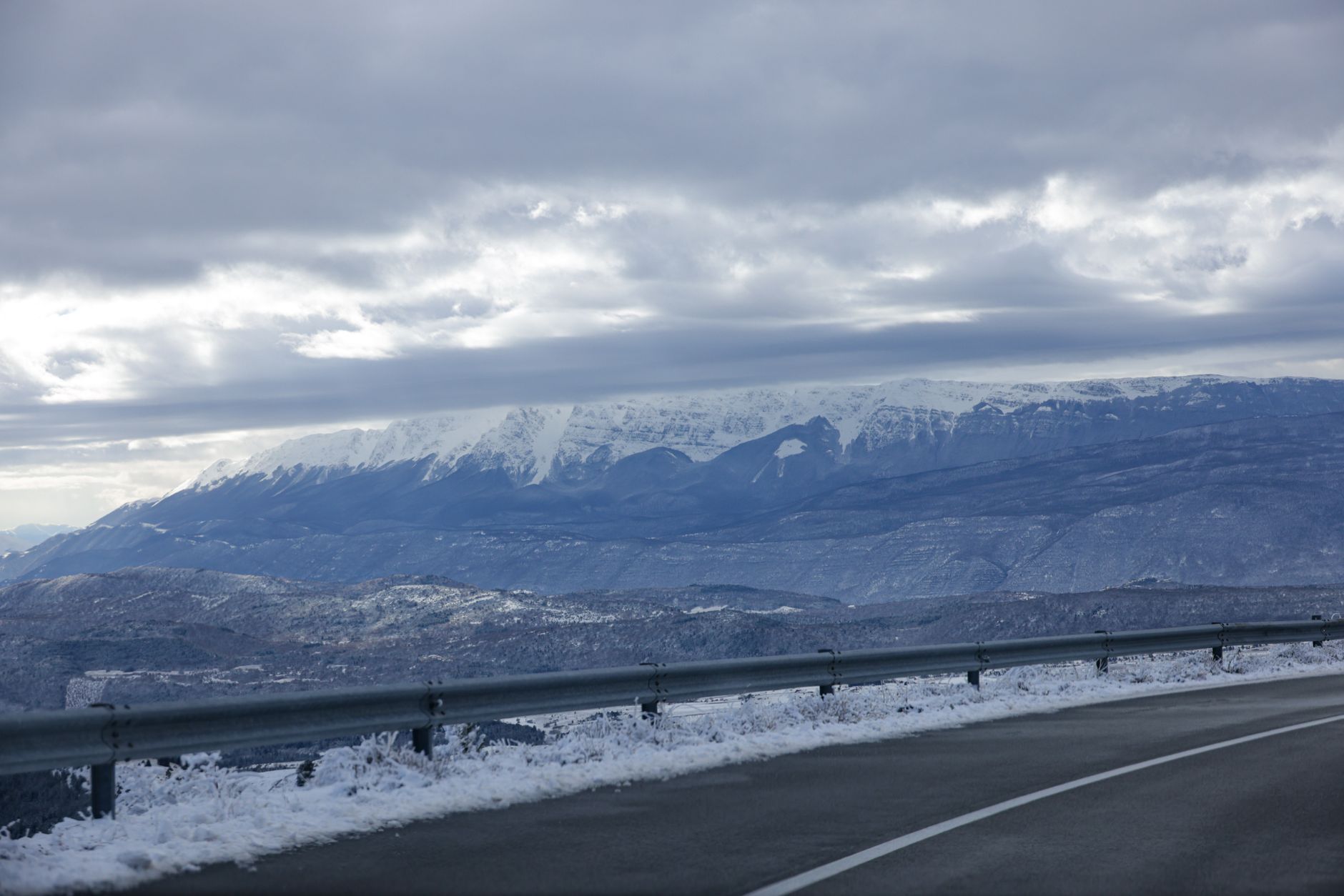
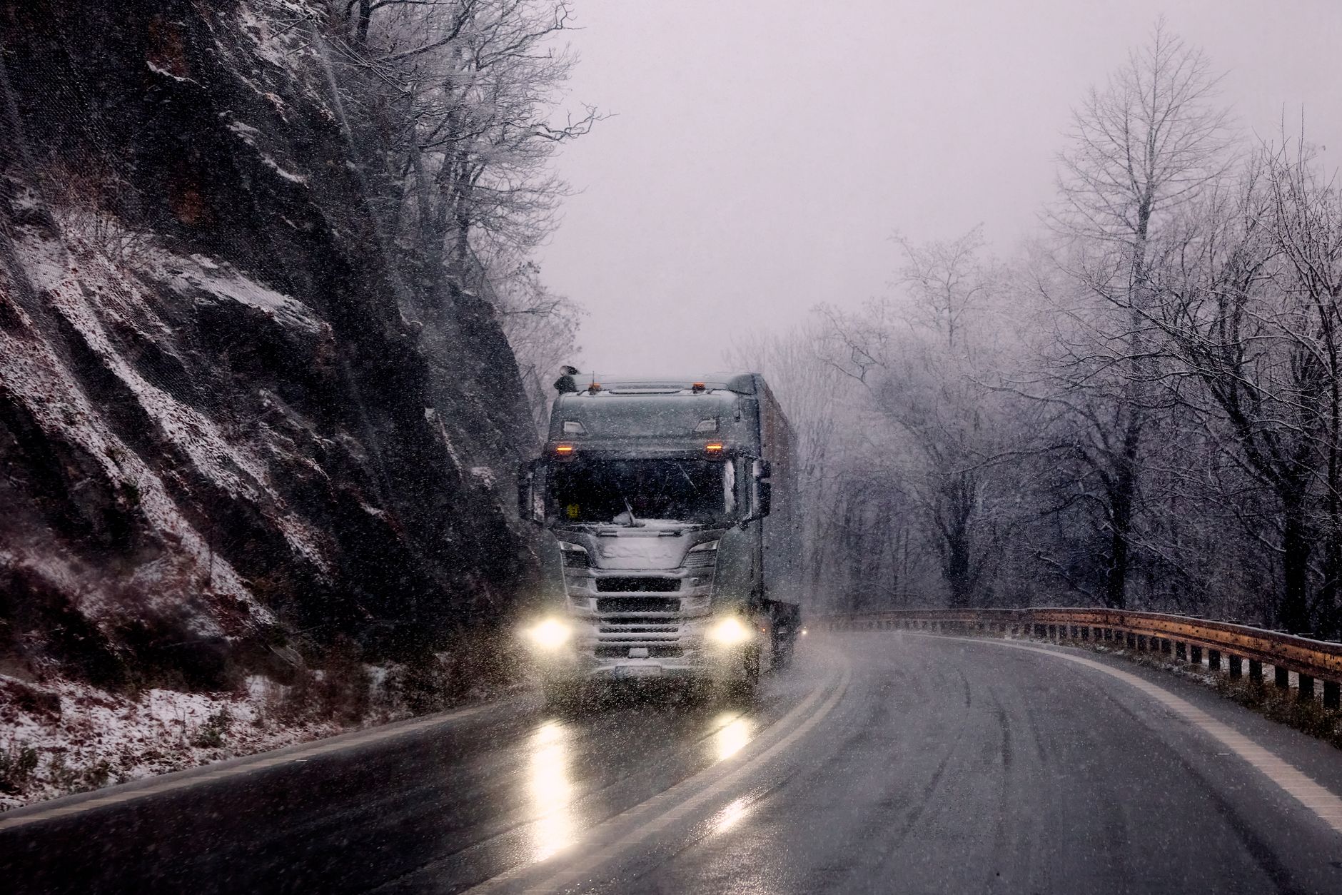
Poncha Pass sees regular truck traffic as part of the US-285 corridor connecting the San Luis Valley to central Colorado. Historical safety data on the pass shows a small number of recorded truck incidents over the years, generally without fatalities — consistent with a moderate, well-maintained grade rather than a genuinely hazardous one, but still a reminder to respect posted truck speed limits and runaway-vehicle signage on the descent.
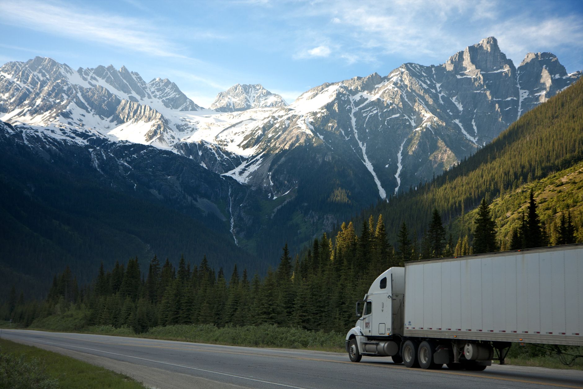
Engine braking, lower gears on the descent, and extra following distance are standard practice here, the same as on any graded mountain highway — nothing about Poncha Pass requires special equipment beyond what’s already sensible for winter mountain driving in Colorado generally.
Poncha Pass vs. Other Nearby Colorado Passes
For drivers weighing routes, here’s how Poncha Pass compares to two other passes commonly discussed in the same corridor.
| Pass | Elevation | Open Year-Round | Typical Difficulty |
|---|---|---|---|
| Poncha Pass | 9,010 ft | Yes | Moderate grade, paved, generally straightforward |
| Monarch Pass | 11,312 ft | Yes | Higher, more exposed, can close briefly in severe storms |
| Wolf Creek Pass | 10,850 ft | Yes | Steeper grades, more winter closures than Poncha |
Of the three, Poncha Pass is generally the least demanding — useful context if you’re deciding whether to route through Poncha Springs or further west toward Monarch Pass and Gunnison on the same trip.
What’s at the Top, and What Isn’t
There’s no gas station, restaurant, or store directly on Poncha Pass — just the summit sign, a pull-off, and the view. That makes the stretch on either side of the climb the practical place to prepare, rather than the summit itself. Cell service can also be inconsistent in the immediate area around the pass, so it’s worth downloading offline maps or confirming your route before you leave rather than relying on a signal partway up.
How Poncha Pass Fits Into a Longer Colorado Road Trip
For travelers routing through central Colorado, Poncha Pass is usually one leg of a bigger day rather than the destination itself. Coming from the north on US-285, the pass is the first real climb after Poncha Springs; continuing south puts you on the way toward the San Luis Valley, Great Sand Dunes National Park, and eventually New Mexico. Heading west instead, US-50 climbs to the considerably higher Monarch Pass and the Continental Divide.
Because the two routes split right at the US-50/US-285 junction in Poncha Springs, it’s worth deciding which direction you’re headed before you leave the gas pumps — both climbs benefit from a full tank, a full charge, and a full stomach, but they’re different drives with different elevation profiles and different weather patterns to watch for.
Before You Climb: A Quick Checklist
- Fuel up or top off EV charge at Poncha Market before starting the climb.
- Check current mountain corridor conditions if you’re traveling between late fall and spring.
- Confirm your tires and, in winter, your traction devices, before you leave — not partway up.
- Grab food at Mabel’s Deli while you’re stopped — there’s no service directly on the pass.
Frequently Asked Questions
How high is Poncha Pass?
9,010 feet above sea level, about 1,500 feet higher than Poncha Springs at the base of the climb.
Is Poncha Pass open in winter?
Yes, it stays open year-round, though snow and ice are common from late fall through spring and winter driving precautions apply.
Is Poncha Pass steep?
The grade runs up to roughly 5% on the steeper approach — a real but moderate climb compared to some of Colorado’s higher passes.
Where’s the last stop for gas before Poncha Pass?
Poncha Market, six miles north of the summit at the US-50/US-285 junction in Poncha Springs, is the last fuel and food stop before the climb.
Does Poncha Pass require chains?
Chain requirements depend on current conditions and vehicle type under Colorado’s mountain corridor rules; check current restrictions before a winter crossing rather than assuming none apply.
Are there services on top of Poncha Pass?
No — there’s a summit sign and pull-off, but no gas, food, or store directly on the pass. Fuel and food stops are on either side, in Poncha Springs to the north.
What watershed does Poncha Pass divide?
It marks the divide between the Arkansas River watershed to the north and the Rio Grande watershed to the south.
Heading south over the pass? Fuel up and eat at Poncha Market first, check EV charging details, or read our full Highway 285 stop guide.
For current road and chain-law information before crossing, see the Colorado Department of Transportation. For live conditions and traffic cameras along the route, check COtrip, Colorado’s official traveler information site.
Leave a Reply