
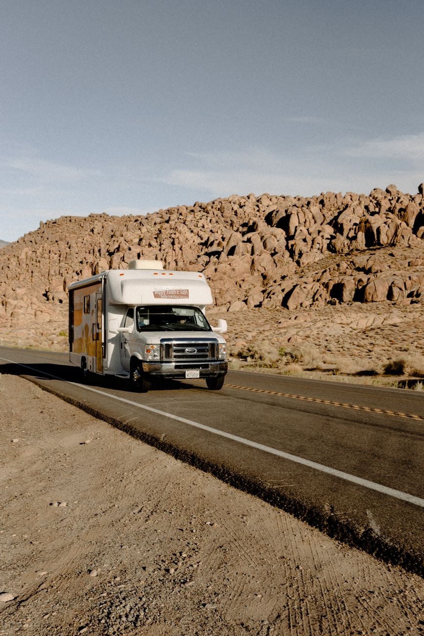
Driving a motorhome or towing a trailer through central Colorado adds a layer of planning that passenger-car drivers don’t have to think about — fuel spacing, grade management, and altitude’s effect on engine power all matter more. Poncha Market, at the US-50/US-285 junction in Poncha Springs, sits at a genuinely useful point along this corridor for RV and trailer travelers.
None of what follows is unique to this specific stretch of Colorado — it’s standard mountain RV travel practice generally. But US-285 and US-50 through central Colorado combine several of the individual challenges (elevation, service spacing, and real mountain grades) in one continuous corridor, which makes planning ahead more valuable here than on a flatter route.
Why Fuel Spacing Matters More for Big Rigs
In more remote stretches of central Colorado, gas stations and services can be 60 to 100 miles apart — a gap that matters much more for a fuel-hungry motorhome or heavy tow vehicle than for a standard passenger car. The standard advice for RV travel here is straightforward: keep your tank at least half full, and top off whenever you pass a larger town rather than waiting until you’re low.
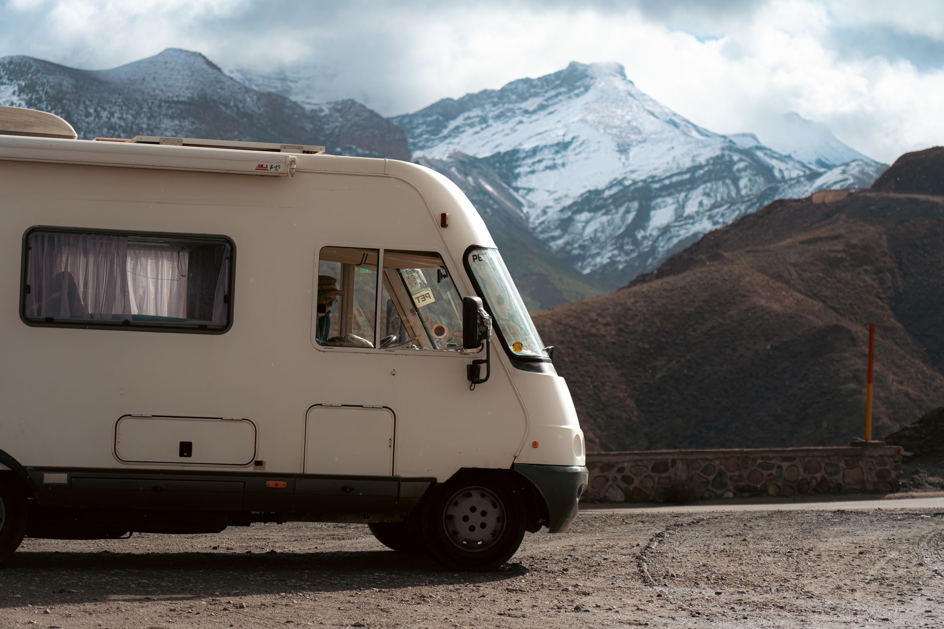
Poncha Springs sits at a real junction of two highways, which makes it a more reliable fuel point than many of the smaller stops along either route — useful to know when you’re mapping out where to plan fuel stops in advance, which is standard practice for longer RV trips through this part of the state.
For travelers continuing in either direction from Poncha Springs — south toward the San Luis Valley, or west toward Gunnison over Monarch Pass — treating this junction as a mandatory fuel stop rather than an optional one is a reasonable habit, given how much sparser services become on both sides of it.
Altitude and Engine Power
Gas-powered RVs lose roughly 3% of engine power for every 1,000 feet of elevation gained. Poncha Springs sits around 7,500 feet, and the mountain passes on either side — Poncha Pass to the south and Monarch Pass to the west — climb considerably higher still. That power loss is worth factoring into how much of a climb you can comfortably manage, particularly for older or smaller-engine motorhomes.
Diesel engines generally handle altitude power loss better than gas engines, which is part of why diesel pushers are common among full-time RVers who spend significant time in mountain states. If you’re renting or driving a gas-powered rig, building in extra time and patience for the climb — rather than expecting flatland performance — avoids a lot of frustration on the ascent.
Managing Mountain Grades
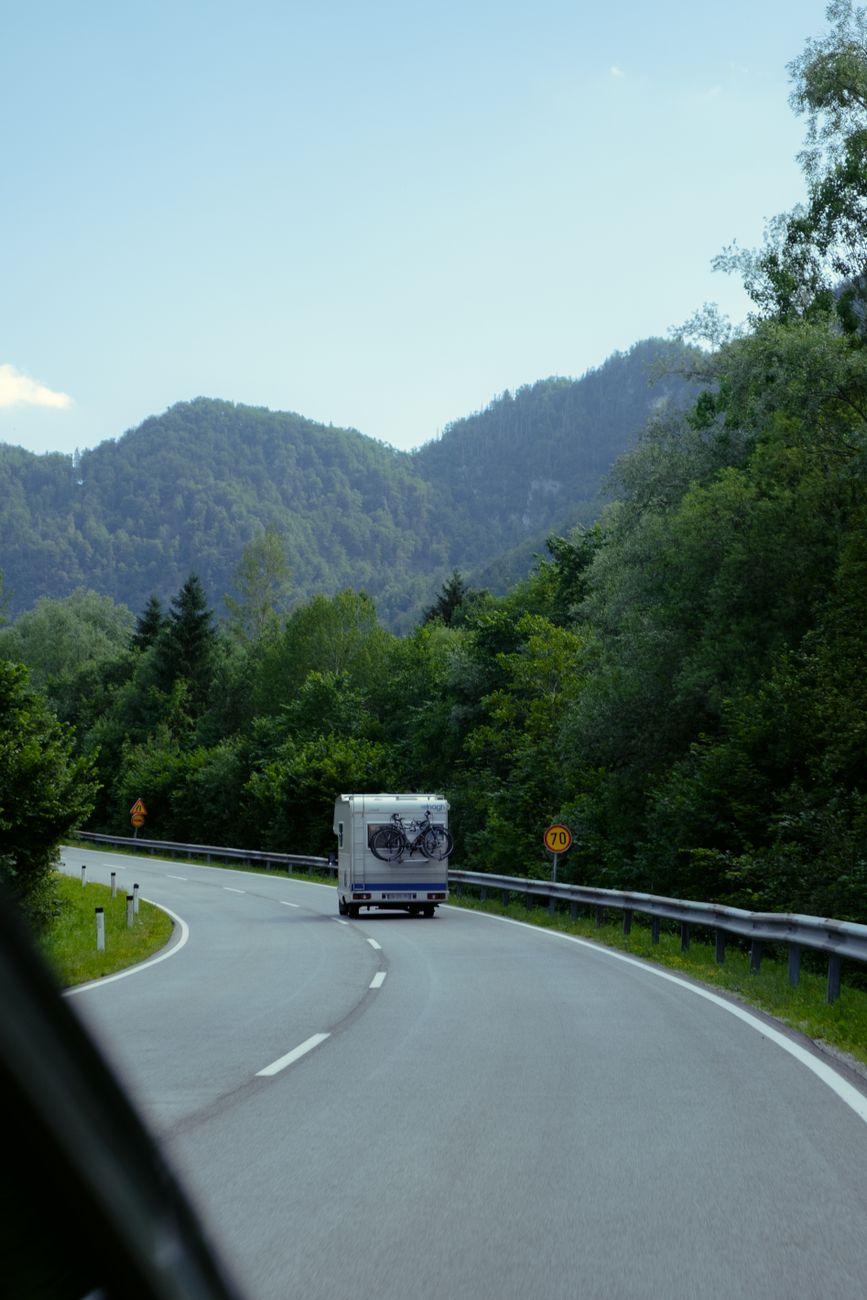
- Use a lower gear on descents rather than riding the brakes continuously — brake fade is a real risk on long mountain grades for heavy vehicles.
- Check the forecast for both your current location and your destination before climbing a pass; storms can build quickly at altitude.
- Standard passenger-car GPS apps can route RVs down roads with low bridges, weight restrictions, or grades unsuitable for large vehicles — an RV-specific navigation app is worth using instead.
- Build in more time than a passenger car would need; a loaded rig climbing a mountain pass moves slower, and that’s normal, not a sign of a problem.
Water, Dump Stations, and Planning Ahead
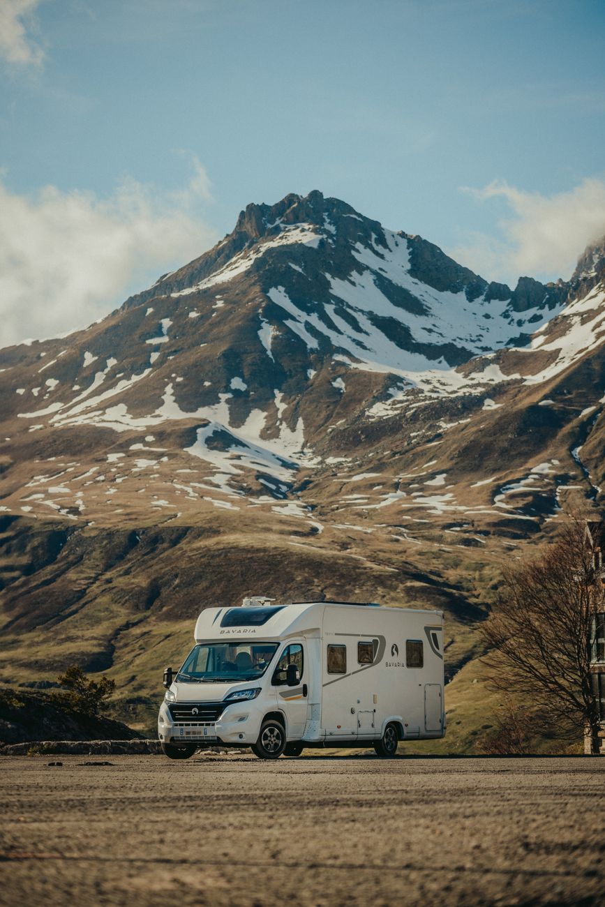
Some of the most significant gaps for RV services in Colorado’s mountain corridors are for sani-dump stations rather than fuel, sometimes 60 or more miles apart in remote stretches. Apps like Campendium and iOverlander are widely used by RV travelers to locate dump stations and potable water refill points along a planned route — worth checking before you leave rather than assuming one will turn up when needed.
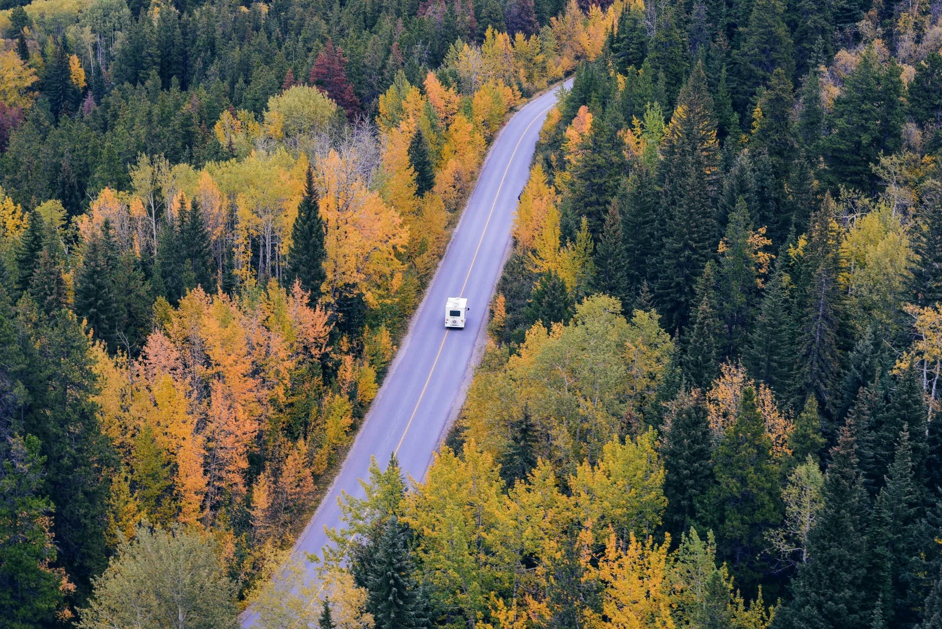
Poncha Market functions as a fuel, food, and rest stop along this corridor; RV travelers should plan dump station stops separately using the tools above rather than assuming every fuel stop offers one.
It’s worth building dump and water stops into your route planning the same way you’d plan fuel stops — as a fixed part of the itinerary rather than something to figure out on the fly once a tank is already getting full.
Truck stops along major interstates sometimes waive dump fees if you’re also fueling up there, though that’s less common at smaller highway junctions like Poncha Springs. It’s worth calling ahead if a specific dump station’s availability or fee structure matters to your route planning.
This kind of advance planning matters more the further you get from major interstate corridors. US-285 and US-50 through central Colorado are well-traveled highways, but they don’t have the density of truck stops and RV-specific services that an interstate corridor does, which is exactly why treating fuel, water, and dump stops as fixed waypoints rather than assumptions pays off here.
What Poncha Market Offers RV Travelers
| Need | Available at Poncha Market |
|---|---|
| Fuel | Yes — gas pumps at the junction |
| Food | Yes — Mabel’s Deli, made-to-order |
| Restrooms | Yes |
| EV charging | Yes — 8 Tesla Superchargers, though most RVs are not EVs |
| Dump station | Not confirmed on-site; plan separately via RV-specific apps |
Frequently Asked Questions
How far apart are gas stations for RVs in central Colorado?
In more remote stretches, 60 to 100 miles is common, which is why topping off at junction towns like Poncha Springs rather than waiting is standard advice.
Does altitude affect RV engine performance?
Yes — gas engines typically lose about 3% of power per 1,000 feet of elevation, which is worth factoring into how a loaded rig will handle mountain grades.
Is there a dump station at Poncha Market?
This isn’t confirmed; RV travelers should plan dump stops separately using apps like Campendium or iOverlander rather than assuming one is available at every fuel stop.
Should I use regular GPS for RV route planning?
RV-specific navigation apps are generally recommended over standard car GPS, which can route large vehicles down roads with low bridges or weight restrictions.
What mountain passes should RV drivers be cautious about near Poncha Springs?
Poncha Pass to the south and Monarch Pass to the west are the two main climbs on either side of the junction.
Do diesel or gas RVs handle altitude better?
Diesel engines generally lose less power at altitude than gas engines, which is part of why diesel pushers are common among RVers who spend significant time in mountain states.
How much slower should I expect to climb a mountain pass in an RV?
Meaningfully slower than a passenger car, especially fully loaded or towing. Building extra time into your schedule for mountain climbs is standard practice rather than a sign anything is wrong.
What should I check before towing a trailer over a Colorado mountain pass?
Tire condition and pressure, brake function on both the tow vehicle and trailer, and current weather and road conditions are the basics worth confirming before any significant mountain grade.
Is cell service reliable along this route for navigation?
Coverage can be inconsistent in more remote stretches and near mountain summits; downloading offline maps before you leave a larger town is a reasonable precaution.
Planning a route through central Colorado? Check our Monarch Pass driving guide or Poncha Pass driving guide before you climb.
For general safe driving guidance around mountain grades, see the Federal Motor Carrier Safety Administration’s safe driving resources.
Leave a Reply