6250 US Hwy 285, Poncha Springs, CO 81242

Open Daily · Summer 7:30AM–8PM

(719) 539-6089

Facebook Instagram

Category: Travel & EV Guides

Practical guides for travelers passing through Poncha Springs, Colorado on US Highway 285.

  • Great Sand Dunes National Park: Road Trip Guide via Poncha Springs

    Great Sand Dunes National Park: Road Trip Guide via Poncha Springs

    Great Sand Dunes National Park and Preserve is home to the tallest sand dunes in North America, rising against the Sangre de Cristo Mountains in Colorado’s San Luis Valley. One of the most scenic ways to get there from Denver runs straight through Poncha Market in Poncha Springs.

    Here’s the route, the distance, and why this stop makes sense along the way.

    How Far Is Great Sand Dunes From Denver?

    The drive from Denver to Great Sand Dunes National Park via US-285 and Colorado Highway 17 covers roughly 240 miles and takes about four hours without stops. That makes it a genuine day-trip distance for an early start, though most visitors treat it as an overnight or weekend trip given the drive plus time to explore the dunes.

    There’s also an alternative eastern route via Interstate 25 south and then west near Walsenburg, which trades the mountain scenery for interstate driving. For travelers who want the drive itself to be part of the trip rather than just a means to an end, US-285 through Poncha Springs is consistently the more scenic option of the two.
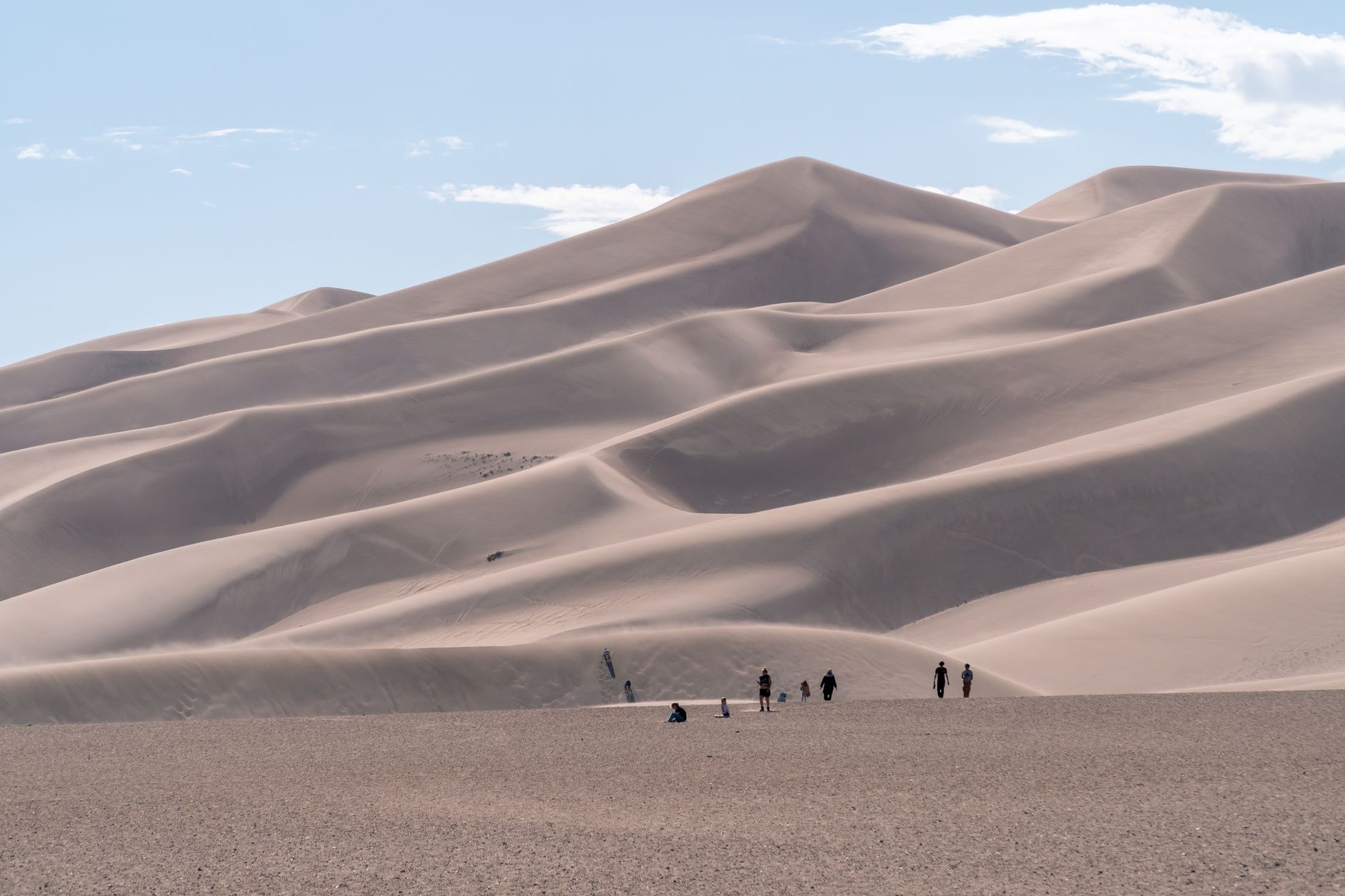
    A group of people hiking the striking sand dunes in Colorado under a blue sky

    The Route: What You’ll See Along US-285

    Heading south from the Denver metro area, US-285 climbs through the foothills, crosses Kenosha Pass into the South Park basin, and continues past Trout Creek Pass before reaching Poncha Market at the US-50/US-285 junction in Poncha Springs. Along the way, the highway runs within view of several Sawatch Range 14ers, including Mount Antero.

    From Poncha Springs, the route continues south over Poncha Pass, then drops into the San Luis Valley, where CO-17 branches off toward the park entrance. This last stretch is a noticeable change of scenery: the road drops out of forested mountain terrain into the wide, flat valley floor, with the dunes and the Sangre de Cristo range visible from a considerable distance before you actually arrive.

    It’s worth noting that Great Sand Dunes National Park is almost equidistant between Denver and Albuquerque, New Mexico — a detail that matters if you’re combining this trip with a longer north-south road trip through the state rather than a there-and-back from Denver alone.
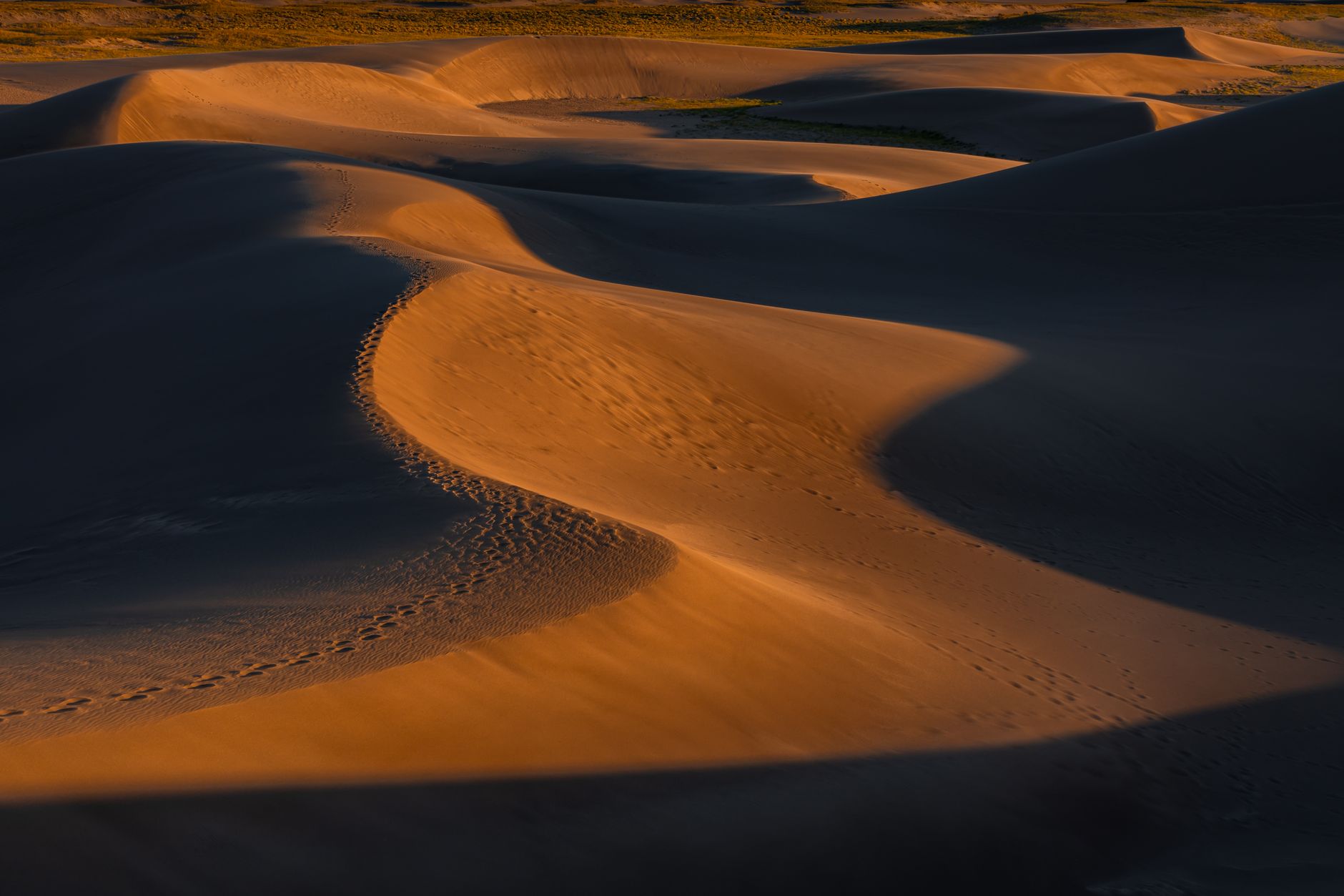
    Captivating golden sand dunes in Colorado captured at sunset

    Why Poncha Springs Is a Practical Halfway Point

    Poncha Springs sits almost exactly at the midpoint of a Denver-to-Sand-Dunes drive, and it’s the last real junction town before the route drops into the more sparsely served San Luis Valley. That makes it a sensible place to fuel up, eat, and use a real restroom before the final stretch, rather than pushing straight through.

    Poncha Market covers gas, a convenience store, and a real deli menu in one stop — useful whether you’re making an early start from Denver and want breakfast on the way down, or coming back from the dunes sandy, tired, and ready for a proper meal instead of another bag of chips.

    Beyond Hiking: Other Things to Do at the Dunes

    Hiking the dunes themselves is the main draw, but sandboarding and sand sledding on specially designed boards and sleds — rented from outfitters near the park entrance rather than the park itself — are popular alternatives to a straight hike up and down. The surrounding preserve also includes forest and alpine terrain in the Sangre de Cristo foothills for visitors who want a cooler, shadier hike instead of open sand.

    LegApprox. DistanceApprox. Drive Time
    Denver to Poncha Springs~145 miles~2.5–3 hours
    Poncha Springs to Great Sand Dunes~95 miles~1.5 hours
    Total (Denver to Great Sand Dunes)~240 miles~4 hours

    Splitting the drive roughly in half at Poncha Springs also gives you a natural decision point: if weather or road conditions look questionable further south, you’ve only committed to the first half of the trip rather than being deep into unfamiliar territory with no easy way back.
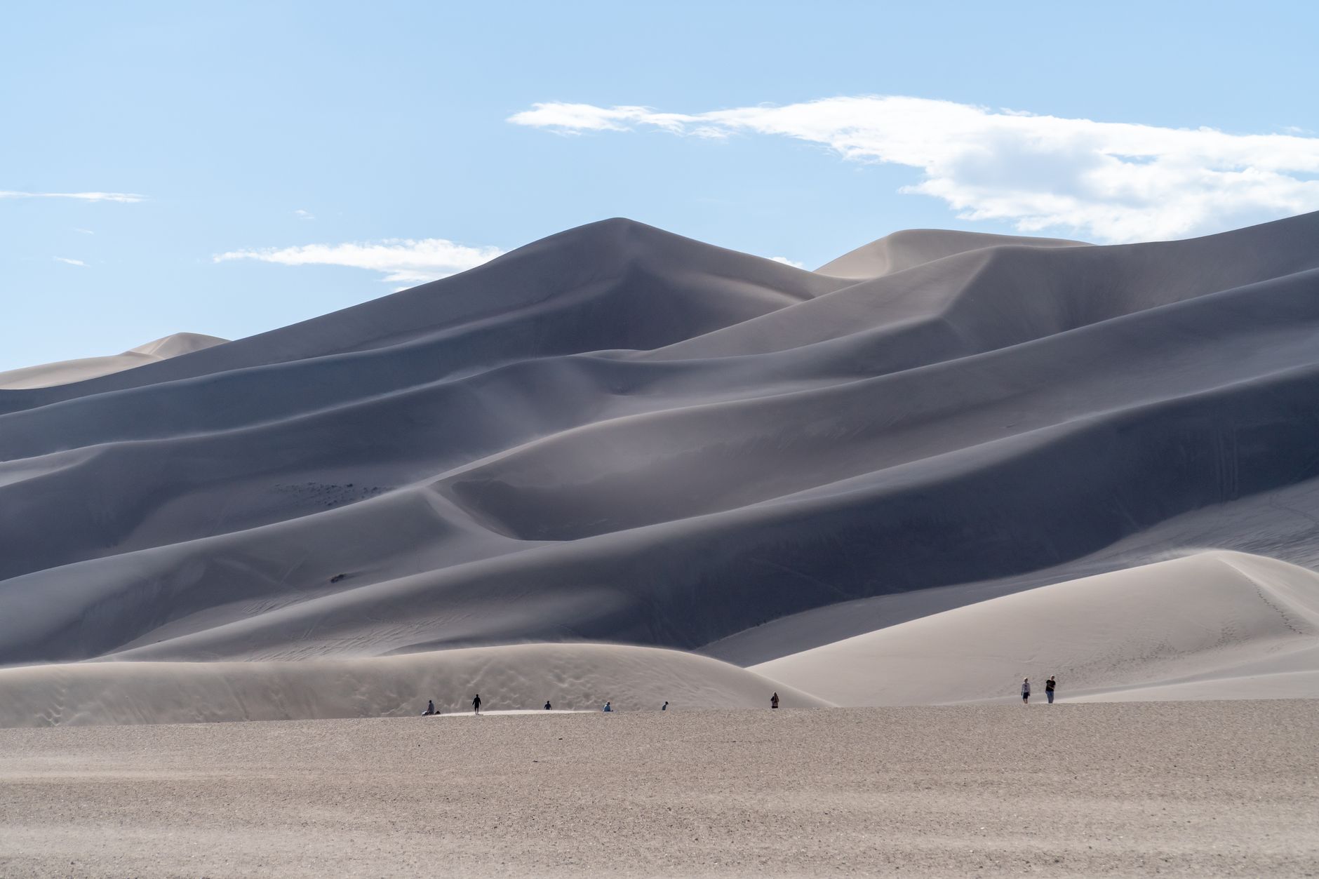
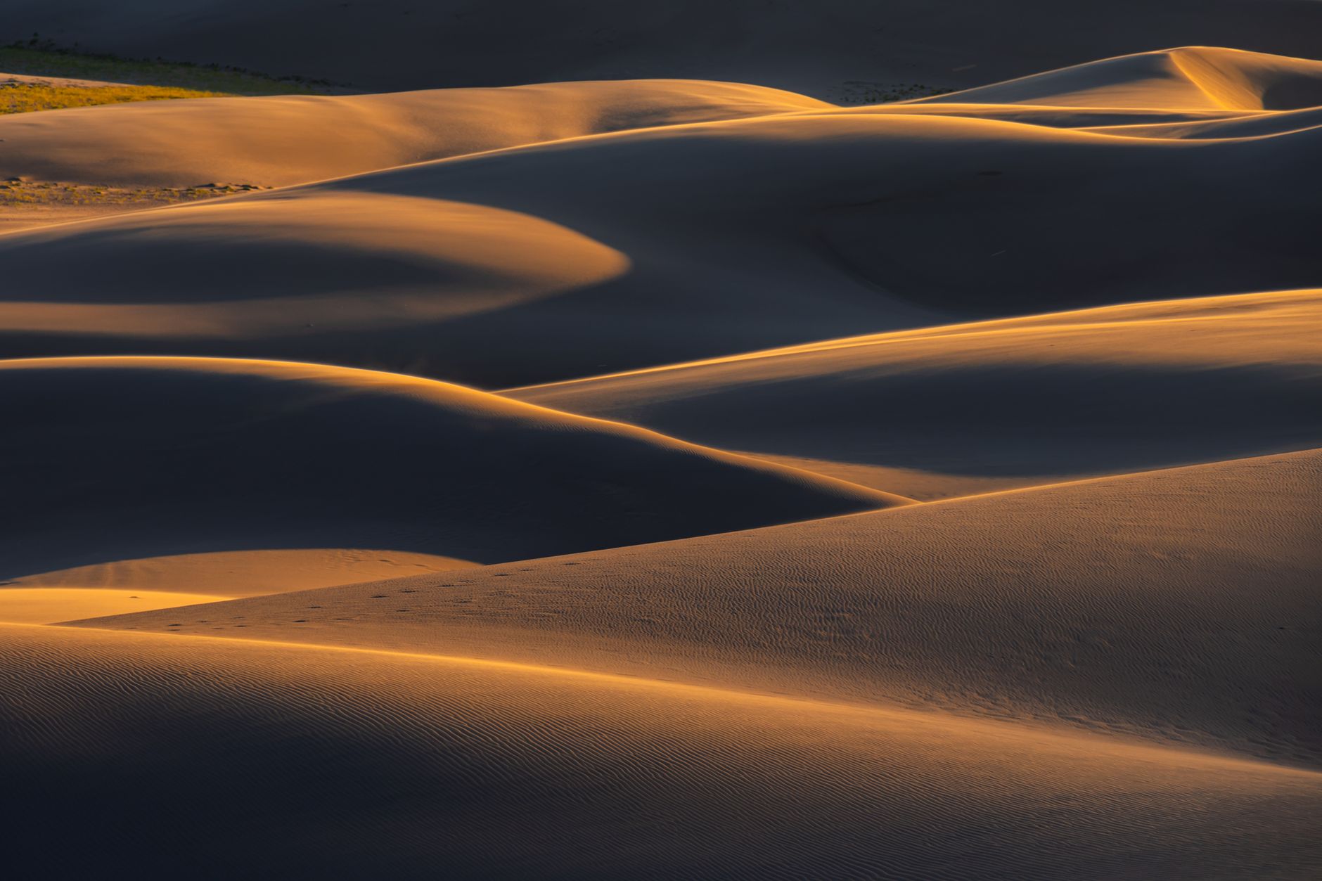
    Sweeping view of the Great Sand Dunes in Colorado’s Great Sand Dunes National Park

    What to Know Before You Visit the Dunes

    • The dunes reflect a lot of sun; sand surface temperatures can get uncomfortably hot on summer afternoons, so many visitors hike earlier or later in the day.
    • There’s no dedicated food service directly at the dunes beyond a small visitor center — plan your meals around your drive, not around the park itself.
    • Medano Creek, when flowing (typically late spring into early summer), is a popular wading spot at the base of the dunes.
    • The tallest dunes rise roughly 750 feet above the valley floor, and climbing them is a genuine physical effort in loose sand — budget more time and energy for the hike than the visual distance suggests.

    Because the park sits at high elevation in a wide, exposed valley, temperature swings between day and night can be significant even in summer — packing layers is worth it regardless of season. Bring more water than you think you’ll need; there’s limited shade once you’re out on the dunes themselves.
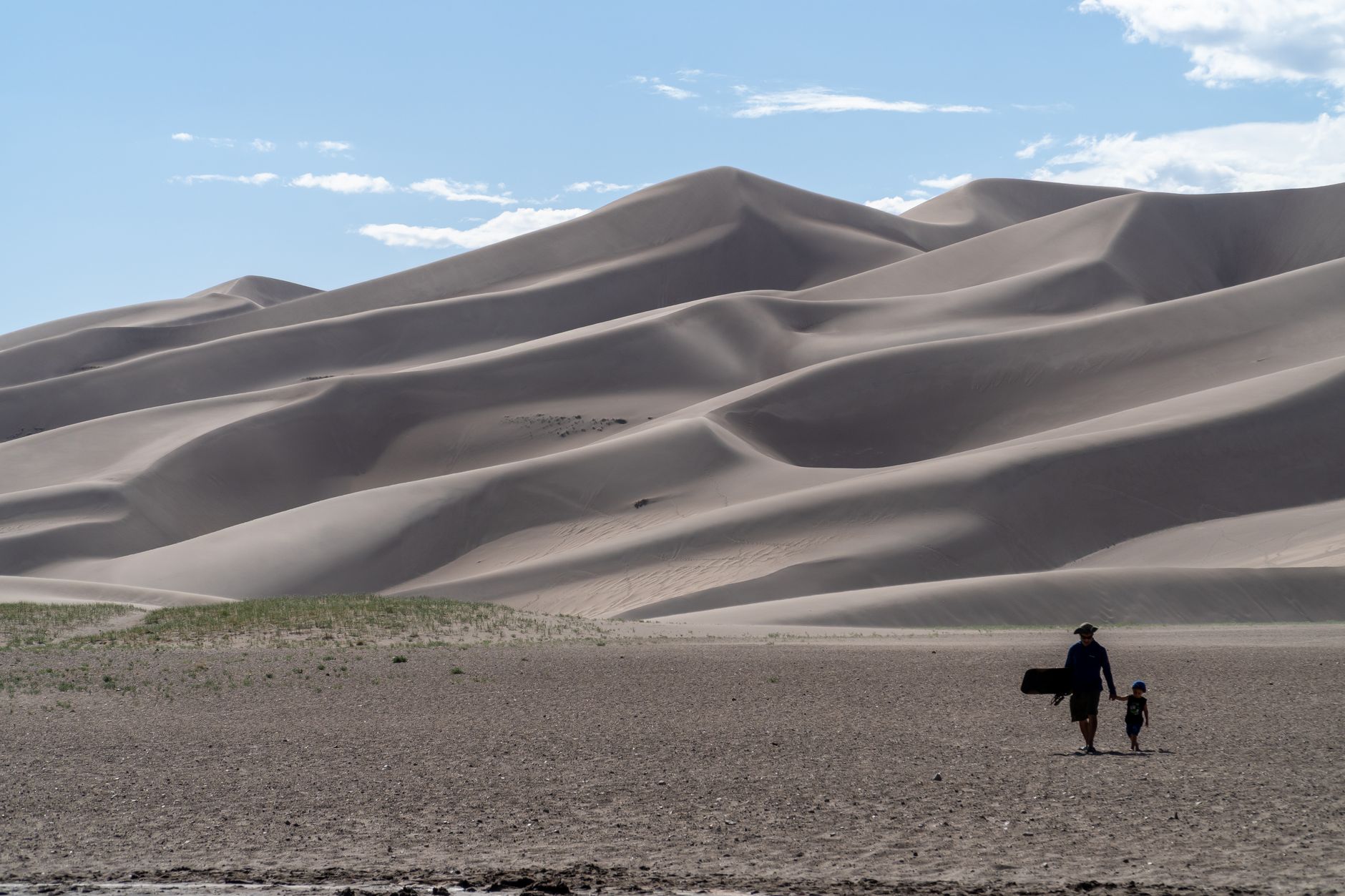
    A father and son hiking together at the Great Sand Dunes in Colorado

    Where to Stay: Day Trip vs. Overnight

    Given the roughly four-hour drive each way, a true single-day round trip from Denver is possible but leaves relatively little time at the dunes themselves once you account for driving both directions. Many visitors instead treat this as an overnight trip, either camping in or near the park or staying in one of the small towns in the San Luis Valley, which allows for an early-morning dune hike before the sand heats up.

    A Practical Stop Order

    1. Fuel up, eat, and check EV charging at Poncha Market, roughly the trip’s midpoint.
    2. Continue south over Poncha Pass into the San Luis Valley.
    3. Take CO-17 toward the park entrance and plan for a few hours at minimum to explore the dunes themselves.
    4. On the return trip, Poncha Market again makes a natural stopping point before the final leg back to Denver.
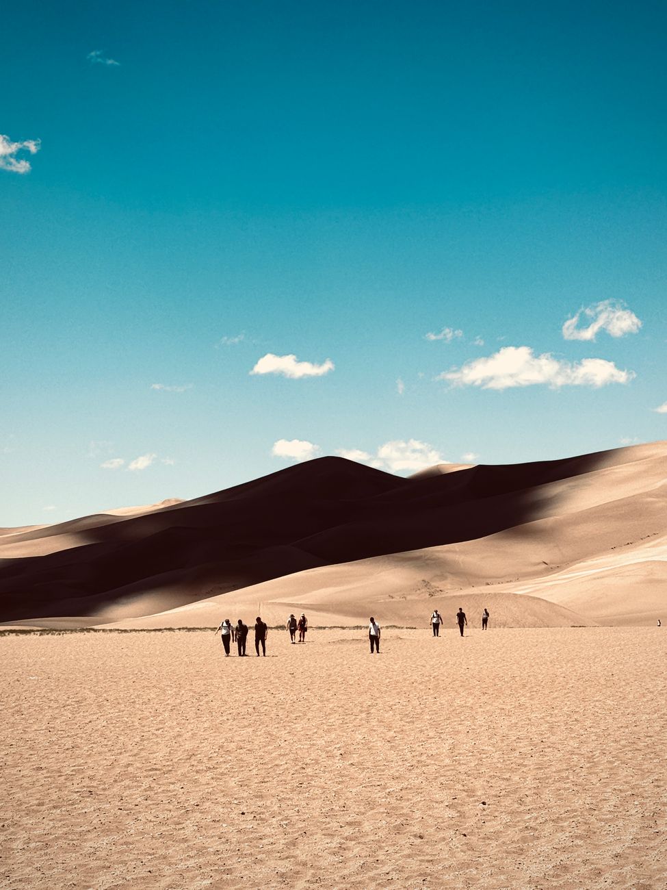
    Visitors exploring the vast, sunlit sand dunes under a clear blue sky

    Frequently Asked Questions

    How long does it take to drive from Denver to Great Sand Dunes National Park?

    About four hours via US-285 and CO-17, covering roughly 240 miles.

    Does the route pass through Poncha Springs?

    Yes — Poncha Springs sits at the US-50/US-285 junction almost exactly at the midpoint of the drive.

    Is there gas and food between Poncha Springs and the dunes?

    Services become sparser south of Poncha Springs through the San Luis Valley, which is part of why fueling and eating at Poncha Market before continuing is a practical choice.

    Can you charge a Tesla on the way to Great Sand Dunes?

    Yes — Poncha Market’s 8 Tesla Superchargers sit directly on this route, roughly at the halfway point.

    What’s the best time of year to visit Great Sand Dunes?

    Late spring through early summer often has flowing Medano Creek for wading; early morning or evening visits in summer help avoid the hottest sand temperatures.

    How tall are the dunes at Great Sand Dunes National Park?

    Star Dune, the tallest in the park and in North America, rises about 750 feet from the valley floor. High Dune, a more commonly climbed option, rises about 699 feet.

    Can you rent a sandboard at the park?

    Not inside the park itself — sandboard and sand sled rentals are available from private outfitters just outside the park entrance.

    Making the drive? Check what to know before Poncha Pass or Tesla charging details before you continue south.

    For official park information, hours, and current conditions, see the National Park Service’s Great Sand Dunes page.
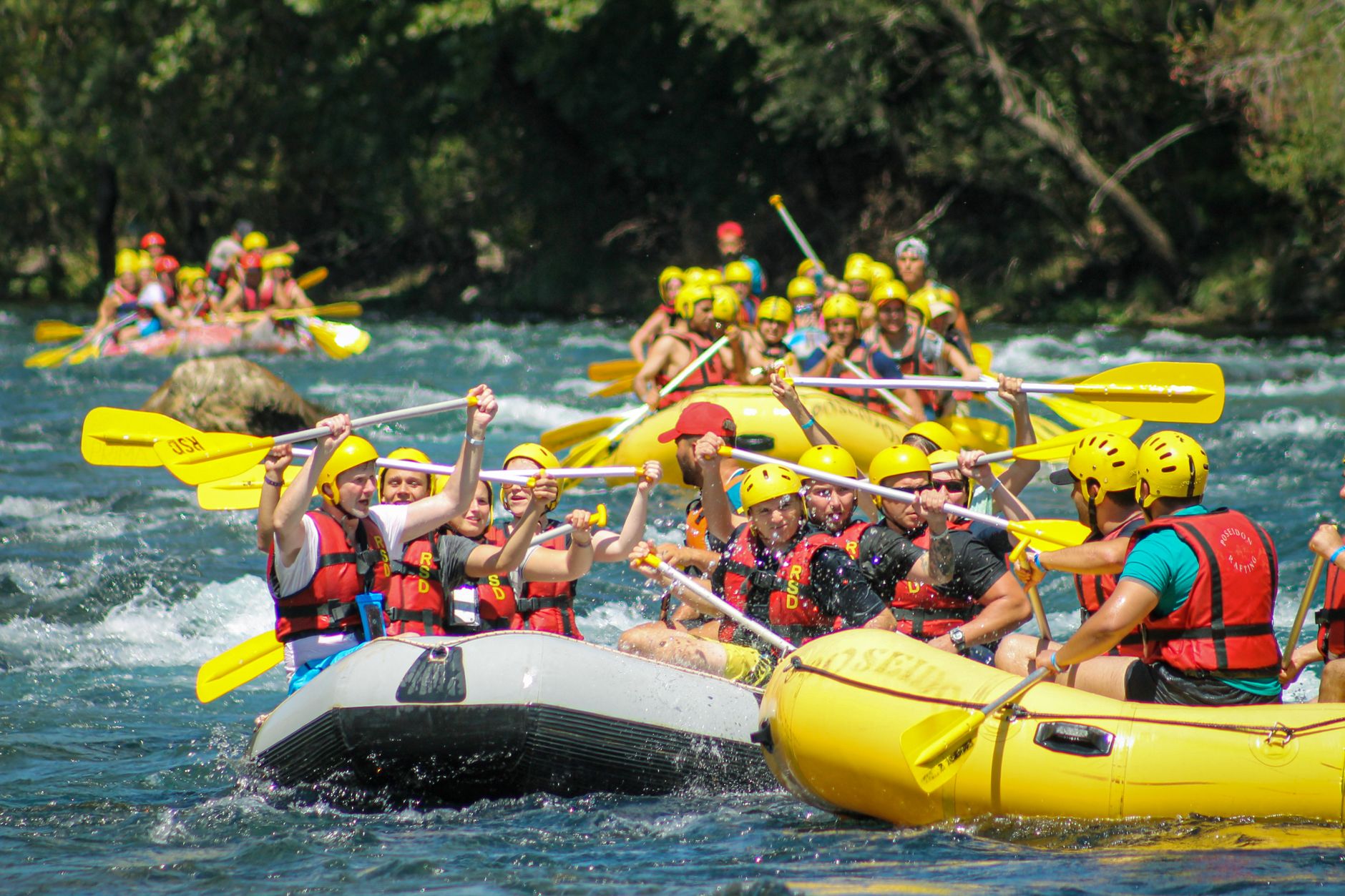
  • Browns Canyon Rafting Near Poncha Springs: A First-Timer’s Guide

    Browns Canyon Rafting Near Poncha Springs: A First-Timer’s Guide

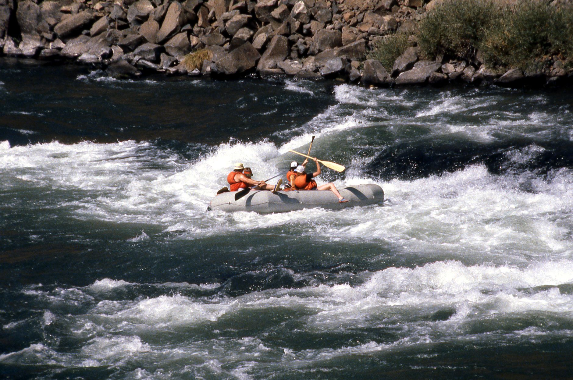
    Between Buena Vista and Salida, the Arkansas River cuts through Browns Canyon National Monument — widely considered the single most popular whitewater rafting stretch in Colorado. If you’re passing through Poncha Market on US-285 or US-50, it’s close enough to be a same-day detour rather than a separate trip.

    Here’s what the rafting actually involves, who it’s realistic for, and how to plan a stop around it.

    Where Is Browns Canyon, and How Do You Get There?

    Browns Canyon National Monument sits along the Arkansas River between Buena Vista and Salida, roughly 15 to 25 minutes north of Poncha Springs depending on the specific put-in point. It’s managed jointly by the Bureau of Land Management and U.S. Forest Service as a National Monument, which protects the canyon’s granite walls and river corridor.

    The monument designation, made in February 2015, formally protects 21,586 acres along the river corridor — a mix of San Isabel National Forest and Bureau of Land Management land — recognizing both the recreational value of the whitewater and the scenic, wildlife-rich canyon it runs through. That combination of protected scenery and genuinely exciting rapids is part of why this stretch draws rafters from well outside Colorado.

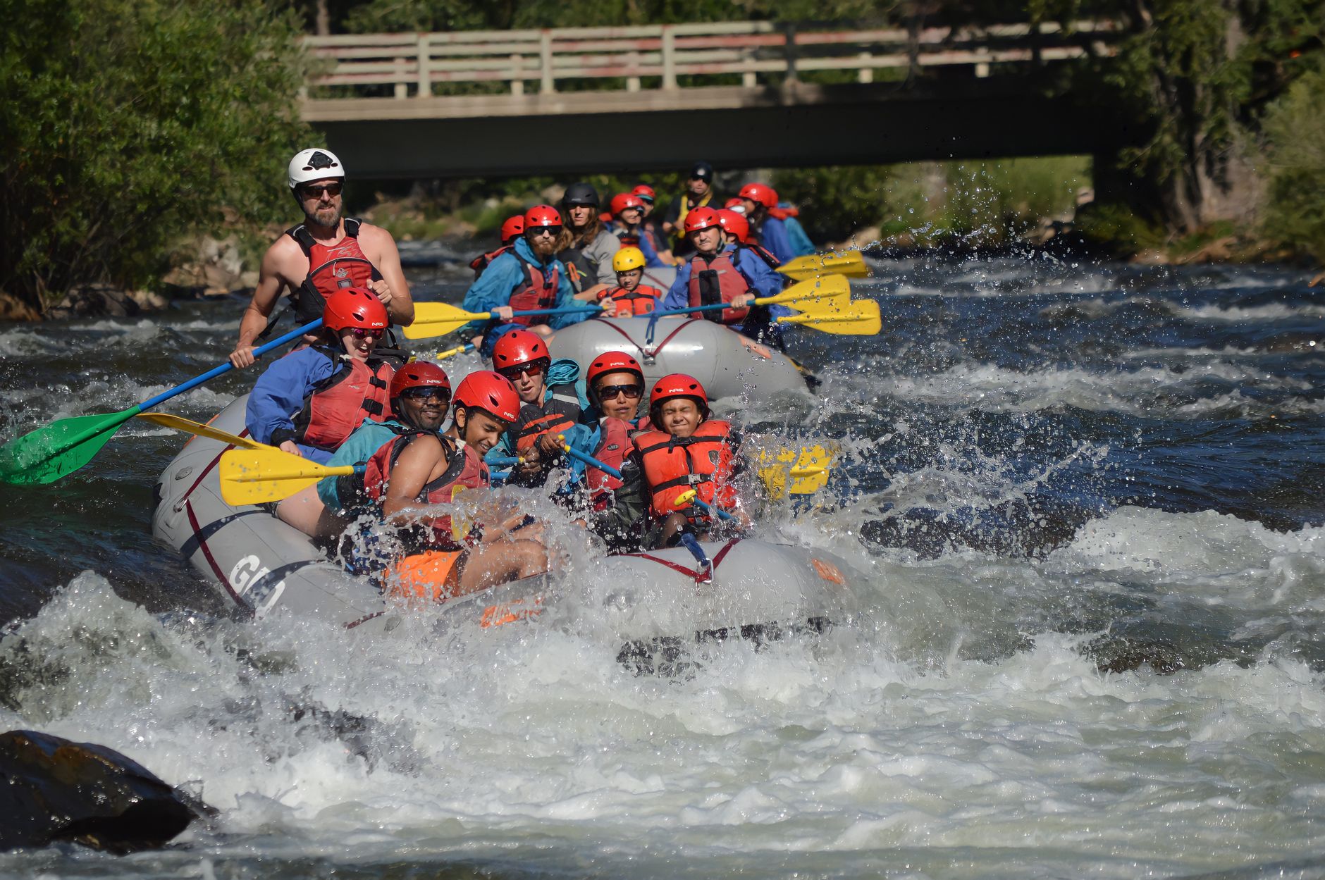
    Thrilling whitewater rafting on a scenic mountain river

    What Kind of Rapids Should You Expect?

    Browns Canyon rafting runs through Class III–IV rapids — big enough to be genuinely exciting, but interspersed with calmer pools that make it manageable for a wide range of skill levels, including many families. Named rapids along the run include Pinball, Zoom Flume, and Raft Ripper.

    • Half-day trips are the most popular option and are generally suitable for kids around age 7 and up, depending on the outfitter’s policy and current water levels.
    • Full-day trips cover roughly 20 miles of river and combine Class II–IV water for a longer, more demanding day on the water.
    Group of people whitewater rafting with paddle splashes on a river

    Water Temperature and What to Bring

    The Arkansas River through Browns Canyon runs on high-elevation snowmelt, and water temperatures typically range from about 45 to 65°F depending on the season — cold enough that most outfitters provide wetsuits or splash gear as part of the trip. Pack a change of dry clothes for afterward regardless of the season.

    Sun exposure is an easy thing to underestimate on a rafting trip. Between the elevation, the reflection off the water, and several hours spent outdoors without much shade, sunburn is one of the most common minor injuries reported by first-time rafters — sunscreen, a hat that will stay on, and sunglasses with a retention strap are all worth packing even on a cloudy-looking day.

    A group of people enjoying an exciting rafting adventure on a river

    Because this is a guided commercial rafting run rather than a self-outfitted trip for most visitors, booking through one of the licensed outfitters operating out of Salida or Buena Vista is the standard and safest approach, particularly for first-timers unfamiliar with the specific rapids.

    Most outfitters supply everything needed for the trip itself — helmet, life jacket, paddle, and a professional guide steering and calling commands from the back of the raft. What they don’t supply is everything you need before and after: a solid breakfast if you’re starting early, sun protection for a day spent on open water at altitude, and a plan for a real meal once you’re off the river and back in dry clothes.

    Choosing an Outfitter

    Several licensed rafting outfitters operate trips through Browns Canyon out of Salida and Buena Vista, generally offering a similar core experience — professional guides, safety equipment, and transportation to and from the put-in and take-out points. Differences between companies usually come down to trip length options, group size, and whether photo packages or add-ons like a barbecue lunch are included.

    For first-timers, it’s worth asking a few direct questions before booking: minimum age for the specific trip, what’s included versus what you need to bring yourself, and what happens if water levels or weather force a change of plans on the day.

    Best Time of Year to Raft Browns Canyon

    SeasonWater LevelBest For
    Late spring (May–June)High, from snowmelt runoffBigger, faster water — more experienced or adventurous rafters
    Summer (July–August)Moderate and more predictableFamilies and first-time rafters
    Early fall (September)Lower, calmerA milder, more scenic float-style trip
    Group of people enjoying a thrilling river rafting experience on a sunny day

    Making a Day of It

    Rafting trips typically start early, which makes Poncha Market a practical stop either on the way up in the morning or on the way back through afterward — fuel, restrooms, and a real deli menu rather than a vending machine, especially useful after a cold morning on the water.

    It’s a short enough detour from Poncha Springs that combining a rafting trip with other nearby activities in the same day or weekend — a soak at one of the area’s hot springs, or simply exploring Salida’s downtown — is realistic rather than a stretch.

    1. Book your rafting trip in advance, especially in peak summer months.
    2. Fuel up and grab breakfast at Poncha Market before an early rafting departure.
    3. Bring a dry bag for your phone, keys, and a change of clothes.
    4. Plan for a post-rafting meal — cold water and physical paddling both work up an appetite fast.

    Many rafting trips run in the morning to take advantage of calmer winds and, in late summer, cooler temperatures before the heat of the day sets in. That timing works well with a Poncha Market stop either direction: breakfast and gas on the way to an early launch, or a late-morning or early-afternoon meal on the way back once you’re off the water.

    Adventurous group rafting through whitewater rapids

    Frequently Asked Questions

    How far is Browns Canyon from Poncha Springs?

    Roughly 15 to 25 minutes by car, depending on the specific launch point along the Arkansas River.

    Is Browns Canyon rafting safe for beginners?

    Yes, particularly on half-day trips, which are the most popular family option in Colorado and generally suitable for kids around 7 and older, depending on the outfitter and water conditions.

    How cold is the water in Browns Canyon?

    Typically 45 to 65°F, since it’s fed by high-elevation snowmelt. Most guided trips provide wetsuits or splash jackets.

    What rapids are in Browns Canyon?

    Notable named rapids include Pinball, Zoom Flume, and Raft Ripper, rated Class III–IV.

    Do I need to book a rafting trip in advance?

    It’s strongly recommended, especially during peak summer weekends, since this is the most popular rafting stretch in Colorado.

    Is Browns Canyon a National Park?

    No — it’s a National Monument, designated in 2015 and jointly managed by the Bureau of Land Management and U.S. Forest Service, covering 21,586 acres along the Arkansas River.

    What should I bring on a rafting trip?

    Beyond what your outfitter provides (helmet, life jacket, paddle), bring sun protection, water shoes or old sneakers, and a dry bag for personal items. Pack a change of clothes for afterward.

    Can I raft Browns Canyon without an outfitter?

    Experienced private boaters do run this stretch independently, but for visitors without their own equipment, whitewater training, and river knowledge, a guided commercial trip is the standard and safer choice.

    Planning a rafting day trip? Fuel up and eat at Poncha Market, or check our Buena Vista vs. Poncha Springs guide if you’re deciding where else to stop.

    Browns Canyon National Monument is jointly managed by the Bureau of Land Management, which publishes current information on the monument and river access.

  • Monarch Pass, Colorado: Driving Guide and Continental Divide Views

    Monarch Pass, Colorado: Driving Guide and Continental Divide Views

    Twenty-five miles west of Salida on US Highway 50, the road climbs to 11,312 feet at Monarch Pass — a crossing of the Continental Divide along the border of Chaffee and Gunnison counties. If you’re heading west from Poncha Market toward Gunnison or Crested Butte, this is the climb waiting for you on the other side of the junction.

    Unlike Poncha Pass to the south, which most drivers find fairly routine, Monarch Pass has a reputation. Here’s what to actually expect.

    How High Is Monarch Pass?

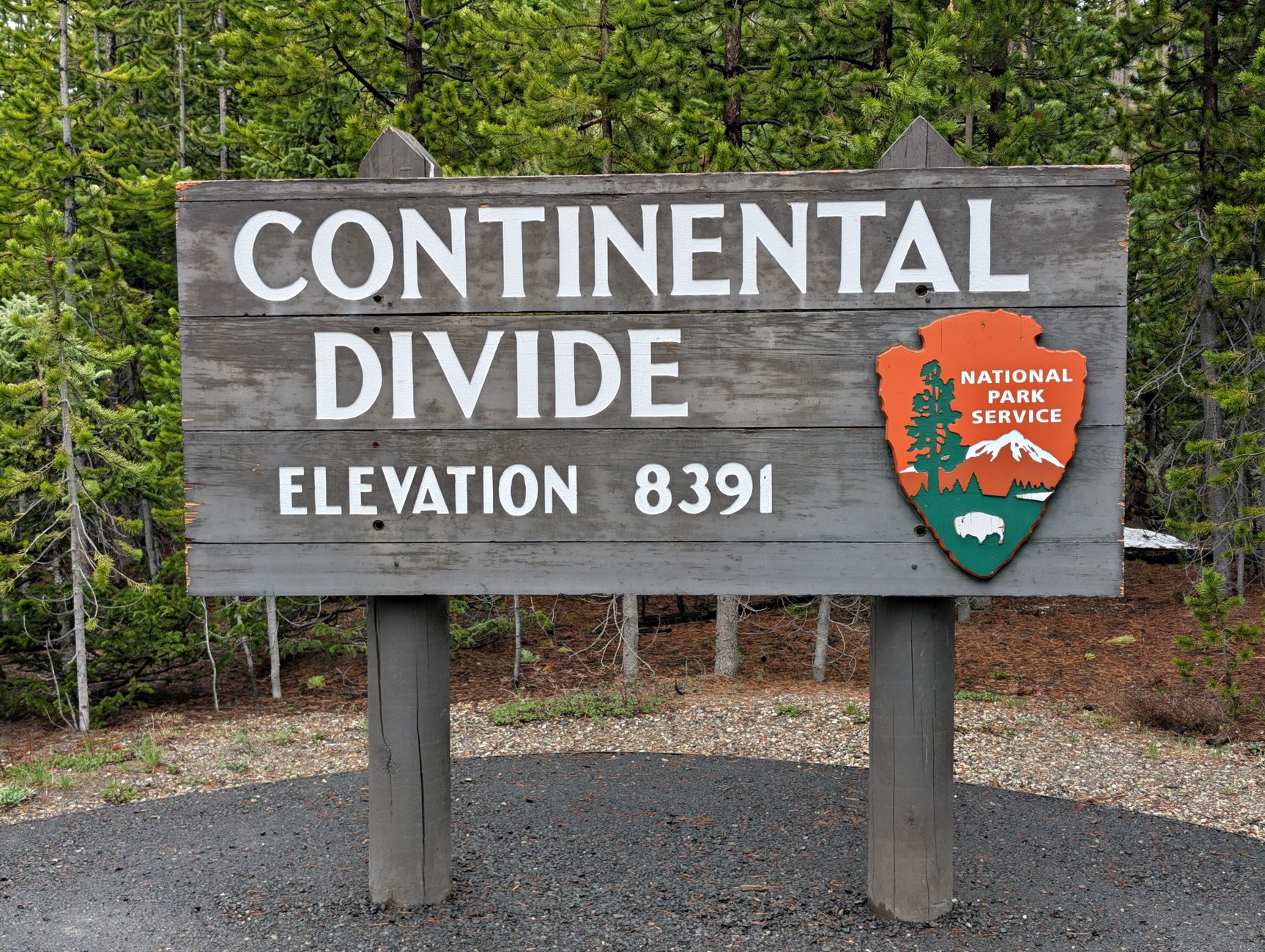
    Monarch Pass sits at 11,312 feet, more than 2,000 feet higher than Poncha Pass and roughly 3,800 feet above Poncha Springs itself. It marks the Continental Divide at the southern end of the Sawatch Range, along the border between Chaffee and Gunnison counties, meaning water on the east side of the summit flows toward the Atlantic watershed and water on the west side flows toward the Pacific.

    The pass is open year-round, and Monarch Mountain Ski Area sits right at the summit — a genuinely two-season stop, busy with skiers in winter and road-trippers and cyclists in summer.

    US-50 has climbed this same general corridor for well over a century, and the modern highway alignment isn’t even the only historic route over this stretch of the Continental Divide — an older wagon-era crossing nearby is still referred to locally as Old Monarch Pass, a reminder that this has been a significant travel corridor long before it carried modern traffic.

    Continental Divide elevation sign along a Rocky Mountain highway
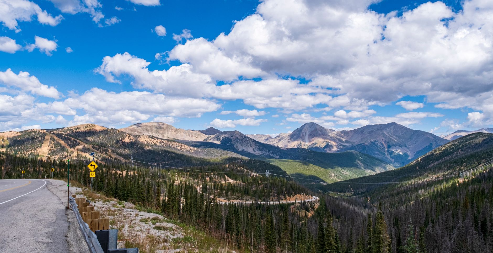
    Panoramic view of a winding road through the Rocky Mountains under a blue sky

    Why Monarch Pass Has a Reputation for Winter Driving

    In a survey of roughly 3,000 Colorado drivers, Monarch Pass was named the most feared road to drive in winter in the state. That’s a notable claim, and it’s rooted in a real combination of factors: heavy snowfall at over 11,300 feet, strong winds near the summit, several recognized avalanche areas along the route, and steep grades paired with sharp curves.

    • Snow squalls and low visibility can develop quickly near the summit, even when conditions look clear lower down.
    • The pass can close temporarily during severe winter storms, unlike Poncha Pass, which stays open through most weather.
    • Strong crosswinds are common at the exposed summit area, worth bracing for if you’re driving a high-profile vehicle.
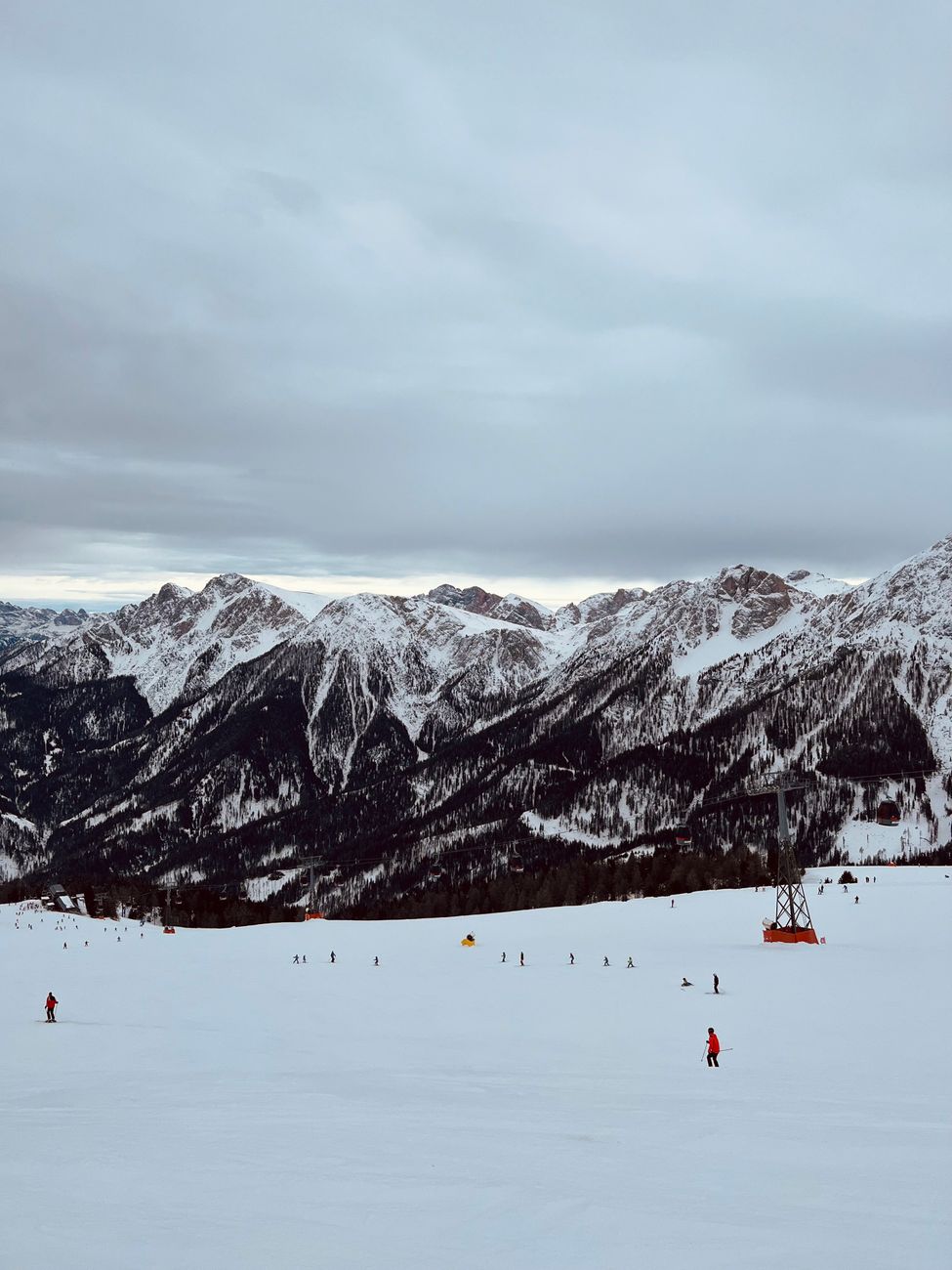
    Skiers descending a snowy slope at a mountain ski resort

    None of this means the pass is impassable — thousands of vehicles cross it safely every winter week. It does mean treating it with more caution than a typical Colorado mountain highway, and checking current conditions before you commit to the climb.

    Monarch Pass vs. Poncha Pass: How They Compare

    Monarch Pass (US-50)Poncha Pass (US-285)
    Elevation11,312 ft9,010 ft
    Winter reputationRated Colorado’s most feared winter road in one driver surveyGenerally straightforward, open year-round
    Ski area at summitYes — Monarch MountainNo
    Closure riskCan close temporarily in severe stormsRarely closes
    Distance from Poncha MarketAbout 25 miles west via US-50About 6 miles south via US-285

    If your route options include both, Poncha Pass is the more predictable crossing. Monarch Pass rewards the climb with genuinely dramatic Continental Divide scenery, but it deserves more planning, especially from late fall through spring.

    Snow-covered Rocky Mountains with evergreen forest in winter

    Summer on Monarch Pass: A Different Kind of Traffic

    In summer, Monarch Pass sheds its winter reputation almost entirely. The road becomes a popular route for road cyclists tackling one of central Colorado’s classic climbs, and the summit’s gift shop and scenic tramway — which carries visitors up to an overlook near 12,000 feet — draw a steady stream of sightseers who have nothing to do with the ski season at all.

    That mix of cyclists, sightseeing traffic, and through-drivers means summer trips over the pass call for a different kind of caution than winter ones: patience passing cyclists on narrow shoulders, and expecting slower-moving RVs and trailers taking the grade carefully rather than aggressively.

    The Monarch Crest Scenic Tramway

    At the summit, a scenic tramway carries visitors from the 11,312-foot pass up to 12,012 feet on the Continental Divide itself — the oldest working tramway in Colorado, first opened in 1966. On a clear day, the overlook offers views of up to five mountain ranges. The visitor center at the base of the tram has a restaurant, gift shop, and small mining and local-history exhibits, making the summit itself a worthwhile stop rather than just a high point to get past.

    This is worth knowing if you’re traveling with anyone who isn’t thrilled about mountain driving: the summit stop gives everyone a reason to get out, stretch, and take in the view, which can turn a nerve-wracking climb into a genuine highlight of the trip.

    Tips for Crossing Monarch Pass

    1. Check current conditions and closures before you leave — the Colorado Avalanche Information Center tracks avalanche danger for this corridor, and it’s worth a look in winter.
    2. Fuel up and eat at Poncha Market before starting the climb; there’s limited service directly on the pass itself.
    3. Reduce speed well before the summit if wind or snow is in the forecast, not after you’re already in it.
    4. If you’re also crossing Poncha Pass the same day, treat them as two separate decisions — conditions on one don’t guarantee the same on the other.
    5. In summer, watch for cyclists; Monarch Pass is a popular, demanding climb for road cyclists and the shoulder can be narrow near the summit.
    6. If you’re towing a trailer or driving an RV, plan for a slower ascent and use a lower gear on the descent rather than riding the brakes the whole way down.

    None of these precautions are unique to Monarch Pass — they’re standard mountain-driving practice in Colorado generally. What sets this pass apart is simply how consistently its combination of elevation, wind, and grade shows up in winter driving surveys and local reporting, which is reason enough to take the standard precautions seriously here rather than treating them as optional.

    Breathtaking view of lush green valleys and rugged peaks in the Rocky Mountains

    Frequently Asked Questions

    How high is Monarch Pass?

    11,312 feet, at the Continental Divide on US Highway 50, about 25 miles west of Salida.

    Is Monarch Pass dangerous in winter?

    It has a strong reputation for difficult winter driving, including a survey ranking it Colorado’s most feared winter road. It stays passable most of the time but can close temporarily in severe storms.

    Is there a ski resort on Monarch Pass?

    Yes — Monarch Mountain Ski Area sits directly at the summit.

    What’s the last stop for gas before Monarch Pass?

    Poncha Market, about 25 miles east at the US-50/US-285 junction in Poncha Springs, is the last fuel and food stop heading west.

    Is Monarch Pass open year-round?

    Yes, though it can close temporarily during severe winter storms, unlike some lower-elevation routes in the area.

    Can you visit Monarch Pass without skiing?

    Yes — the summit has a gift shop and a scenic tramway to a nearby overlook, popular with sightseers and road-trippers year-round, not just winter ski traffic.

    Which is easier: Monarch Pass or Poncha Pass?

    Poncha Pass is generally considered the more straightforward crossing of the two, with a lower elevation and less severe winter reputation.

    How do I check current conditions before crossing Monarch Pass?

    The Colorado Department of Transportation and the Colorado Avalanche Information Center both publish current road and avalanche conditions for this corridor, and checking either before a winter crossing is a reasonable habit rather than an overreaction.

    Heading west toward Gunnison? Fuel up at Poncha Market first, or check our Poncha Pass driving guide if you’re headed south instead.

    For current avalanche and winter travel advisories in this corridor, see the Colorado Avalanche Information Center.

  • Best Time to Visit Poncha Springs, CO: Weather, Seasons, and Travel Tips

    Best Time to Visit Poncha Springs, CO: Weather, Seasons, and Travel Tips

    Poncha Springs sits at roughly 7,500 feet in Colorado’s high country, at the junction of US-50 and US-285 — and elevation like that means real seasons, not just a warm-versus-cold split. Whether you’re planning a road trip through or a longer stay in the area, here’s what each season actually looks like at Poncha Market and the surrounding Chaffee County region.

    Specific hour-by-hour local forecasts aren’t something we can publish reliably here — for that, the National Weather Service office covering this part of Colorado is the best source, linked below. What follows is a practical, season-by-season planning guide instead.

    Summer: Peak Travel Season

    Summer is the busiest and most reliable travel season through Poncha Springs. Roads are clear, days are long, and the surrounding area opens up for camping, hiking, rafting, and biking — the same activities Poncha Market’s own team points travelers toward.

    One pattern worth planning around: afternoon mountain thunderstorms are common in summer across this part of Colorado. Morning departures, especially if you’re heading up over Poncha Pass or Monarch Pass, tend to mean clearer, calmer driving conditions than an afternoon start.

    Summer is also when Poncha Springs sees the most through-traffic overall — a mix of rafting trips on the Arkansas River, hikers and campers headed into the surrounding national forest land, and long-distance road trippers using US-285 and US-50 as a connector between Denver and the San Luis Valley or Western Slope. Expect the deli counter and charging stalls to be busiest on weekend afternoons during peak summer months.

    Fall: Aspen Color and Fewer Crowds

    Fall brings cooler temperatures, generally clear skies, and noticeably lighter traffic than summer. It’s also aspen season in the hills surrounding Poncha Springs — golden groves are visible from the highway in several spots along US-285 and US-50 without needing a special detour.

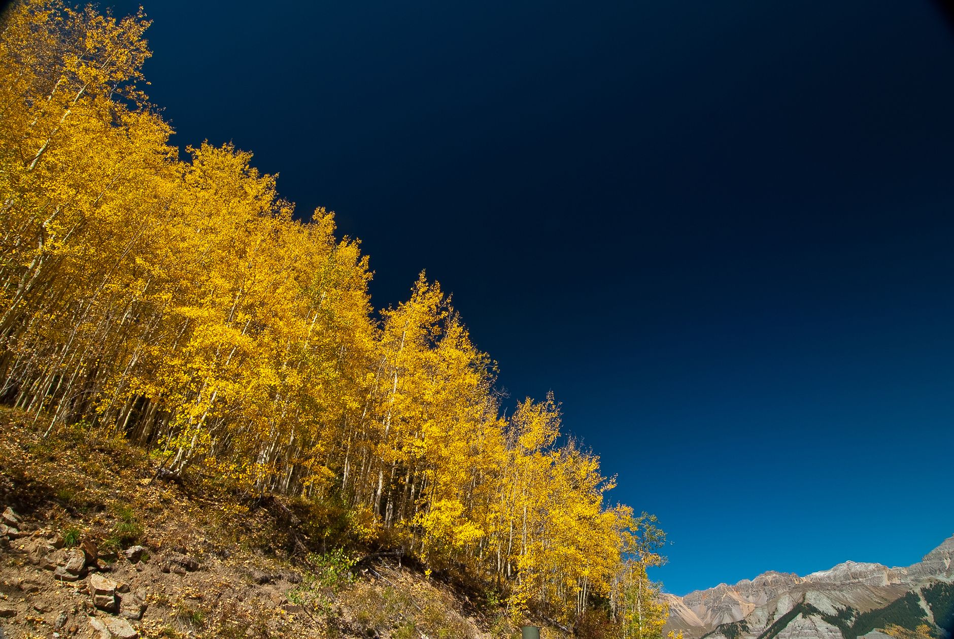
    Golden aspen trees in fall color on a Colorado mountainside

    For travelers who prioritize scenery over summer’s longer daylight hours, fall is often the better trade — similar road conditions to summer, with quieter stops and cooler, more comfortable stretches for anyone getting out to hike or take photos.

    Spring: The Quiet Shoulder Season

    Spring in the high country is the least predictable season, and also one of the quietest for travel. Snow can linger at elevation well after it’s melted off in Colorado’s lower-elevation cities along the Front Range, and conditions on Poncha Pass and Monarch Pass can shift from clear to snowy within the same day. Travelers who don’t mind some unpredictability are often rewarded with lighter traffic and a quieter version of the same drive that gets crowded in summer.

    Winter and Spring: What Changes

    Snow becomes a real factor at this elevation from late fall into spring, particularly on Poncha Pass to the south and Monarch Pass to the west. Poncha Springs itself, at around 7,500 feet, sees less accumulation than the passes on either side of it, but travelers should still expect winter driving conditions to apply for a meaningful stretch of the year.

    SeasonDriving ConditionsGood For
    SummerClear, but watch for afternoon stormsCamping, rafting, hiking, biking
    FallClear and cool, lighter trafficAspen viewing, quieter road trips
    WinterSnow and ice likely, especially on passesSkiing nearby, scenic snow photography
    SpringVariable, snow lingers at elevationShoulder-season travel, fewer crowds
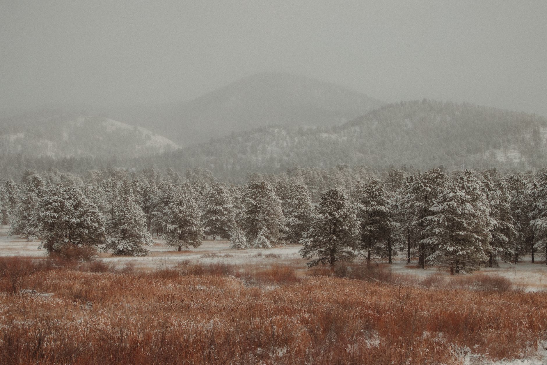
    Snow-covered pine trees in a Colorado winter landscape

    Winter is also when the area’s proximity to Monarch Mountain Ski Area, west of Poncha Springs over Monarch Pass, brings a different kind of traveler through the junction — skiers and snowboarders fueling up or charging on their way to or from the mountain, rather than summer’s rafters and hikers.

    Cold-Weather EV Charging Considerations

    Winter travelers driving a Tesla should also factor in cold-weather range loss, which is normal for any EV at altitude. Arriving at Poncha Market’s 8 Tesla Superchargers with a bit more buffer than usual, and planning to charge slightly longer in cold weather, is a reasonable precaution rather than a special accommodation.

    Cold batteries also charge somewhat more slowly than warm ones, which is a normal characteristic of lithium-ion batteries generally rather than anything specific to this location — another reason a short deli stop while charging works out well in winter, since it naturally covers the extra time.

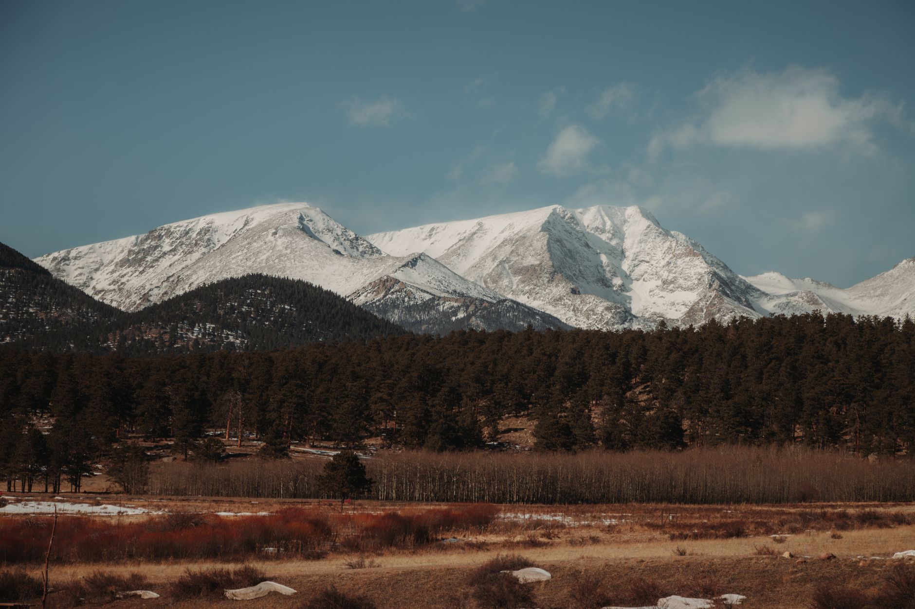
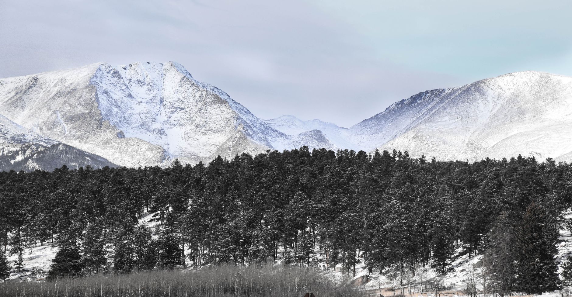
    Snow-capped Rocky Mountains peaks under a winter sky

    So, What’s the Best Time to Visit?

    There isn’t a single correct answer — it depends on what you’re planning to do:

    • For the easiest driving and most activities open: summer, ideally with an early start to beat afternoon storms.
    • For scenery with fewer crowds: fall, particularly for aspen color.
    • For skiing and snow scenery, if you’re prepared for winter driving: winter, with extra caution on the passes.
    • For quieter stops and lower prices generally: shoulder season in spring, keeping in mind that snow can linger at elevation later than it does in Colorado’s lower-elevation cities.
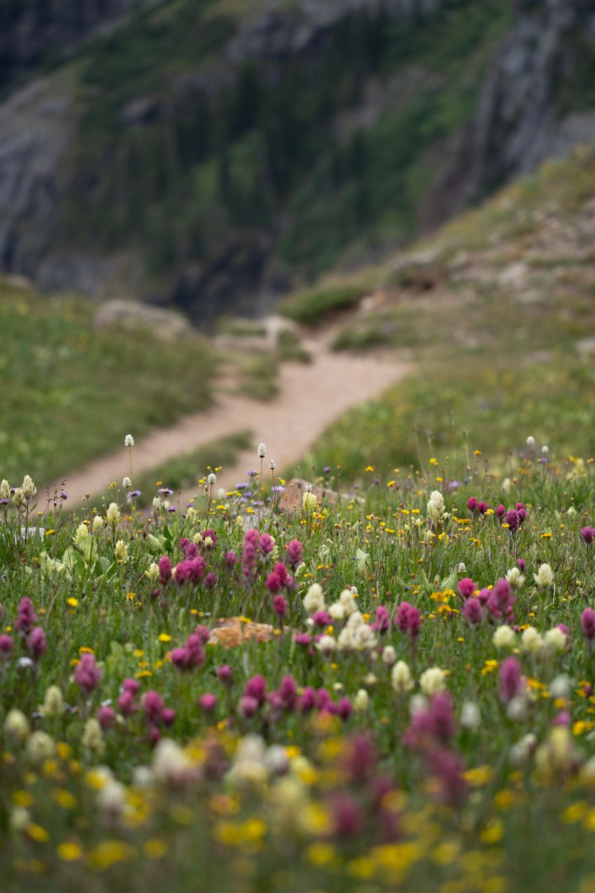
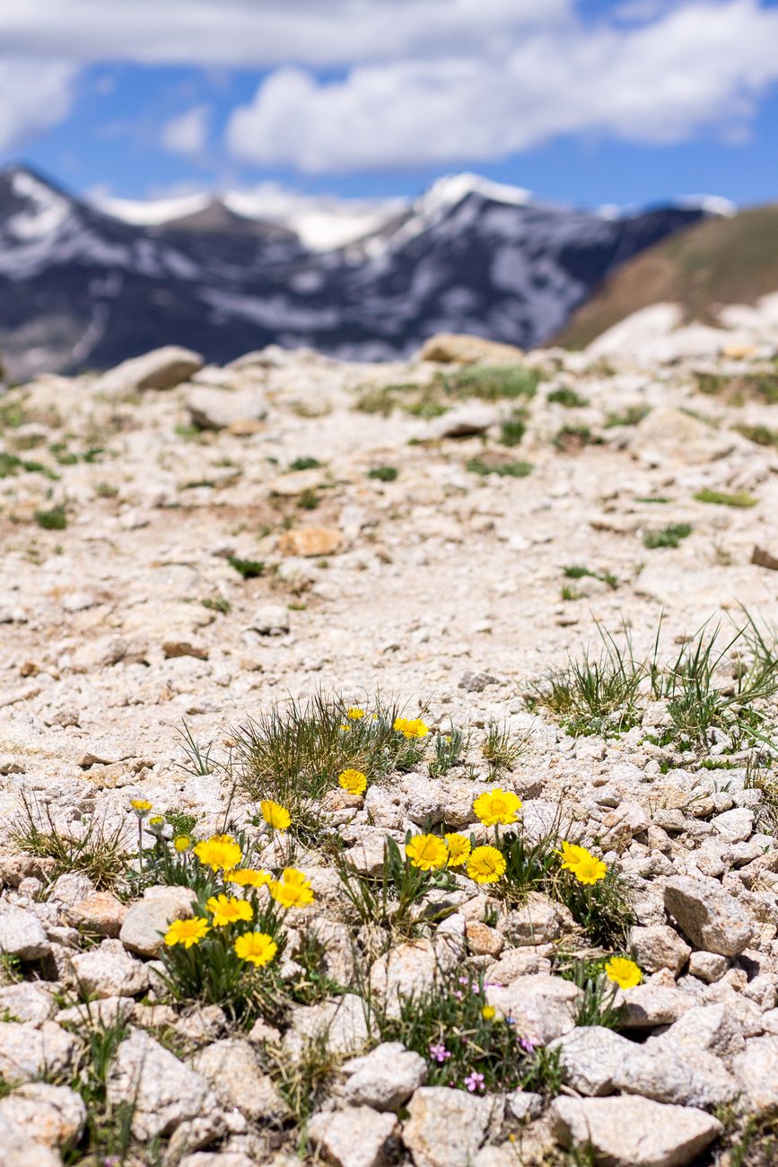
    Field of yellow wildflowers in a Colorado mountain meadow

    What’s Open Year-Round

    Whatever season you’re passing through, Poncha Market’s convenience store and Tesla Superchargers operate every day of the year, and Mabel’s Deli serves food throughout regular business hours. For current hours on a specific date, calling ahead at (719) 539-6089 or checking Poncha Market’s Facebook page is the most reliable way to confirm before you arrive, particularly around holidays.

    That year-round consistency is worth planning around on its own. Unlike seasonal attractions that close for part of the year, a gas station, deli, and EV charging stop has to stay open and reliable in every season — which is part of why it functions as a dependable waypoint for both summer road trips and winter ski traffic through the same junction.

    Traveling With Family or a Group

    Poncha Market’s owners describe meeting travelers from around the country and internationally passing through the area, and the build-your-own options at Mabel’s Deli make the stop workable for groups with different tastes or dietary needs regardless of season — useful whether you’re mid-road-trip in July or stopping between ski runs in January.

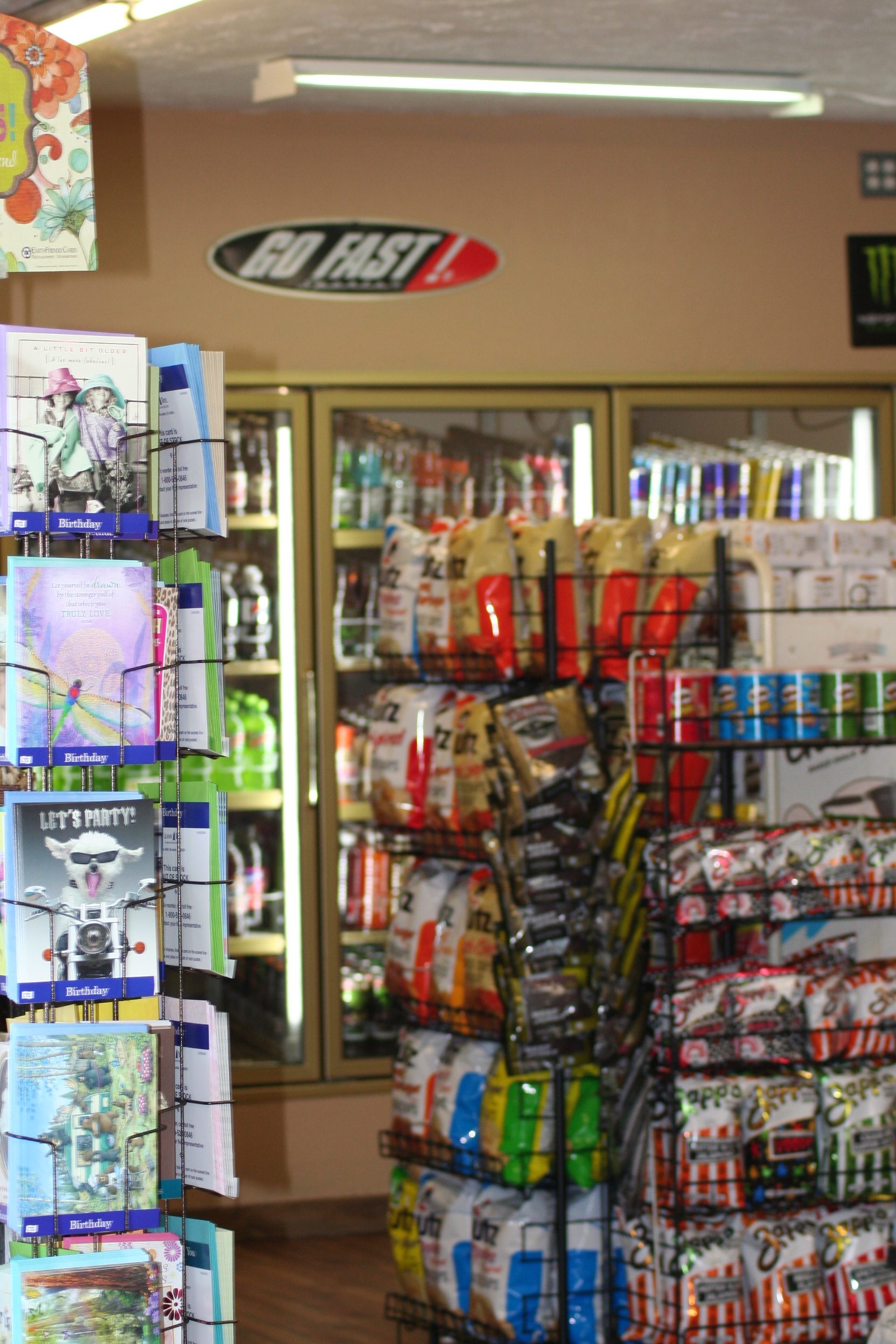
    Interior of the Poncha Market convenience store with shelves of snacks and drinks

    Frequently Asked Questions

    What is the best month to visit Poncha Springs, Colorado?

    Summer and early fall offer the most reliable driving conditions and the widest range of open outdoor activities in the surrounding area.

    Does it snow in Poncha Springs?

    Yes, though generally less than on nearby Poncha Pass and Monarch Pass, both of which sit at higher elevation and see more accumulation.

    Is Poncha Market open year-round?

    Yes — the convenience store, gas station, and Tesla Superchargers operate year-round. Call ahead for exact hours on a specific day.

    Is Poncha Pass safe to drive in winter?

    It stays open year-round, but winter driving precautions apply. See our Poncha Pass driving guide for specifics.

    When is aspen season near Poncha Springs?

    Typically in fall, visible from several points along US-285 and US-50 without requiring a special detour off the highway.

    Is there skiing near Poncha Springs?

    Monarch Mountain Ski Area sits west of Poncha Springs over Monarch Pass, making the junction a natural fuel and food stop for winter ski traffic as well as summer travelers.

    How cold does it get in Poncha Springs in winter?

    Exact seasonal averages vary year to year; the National Weather Service, linked below, publishes current and historical forecast data for this part of Colorado.

    Planning your trip? Check what’s on-site year-round, read the full Highway 285 stop guide, or see Tesla Supercharging details before you go.

    For current forecasts covering this part of Colorado, see the National Weather Service. For seasonal information on outdoor activities in the surrounding area, see Colorado Parks and Wildlife.

  • Poncha Pass, Colorado: What Drivers Need to Know Before You Climb

    Poncha Pass, Colorado: What Drivers Need to Know Before You Climb

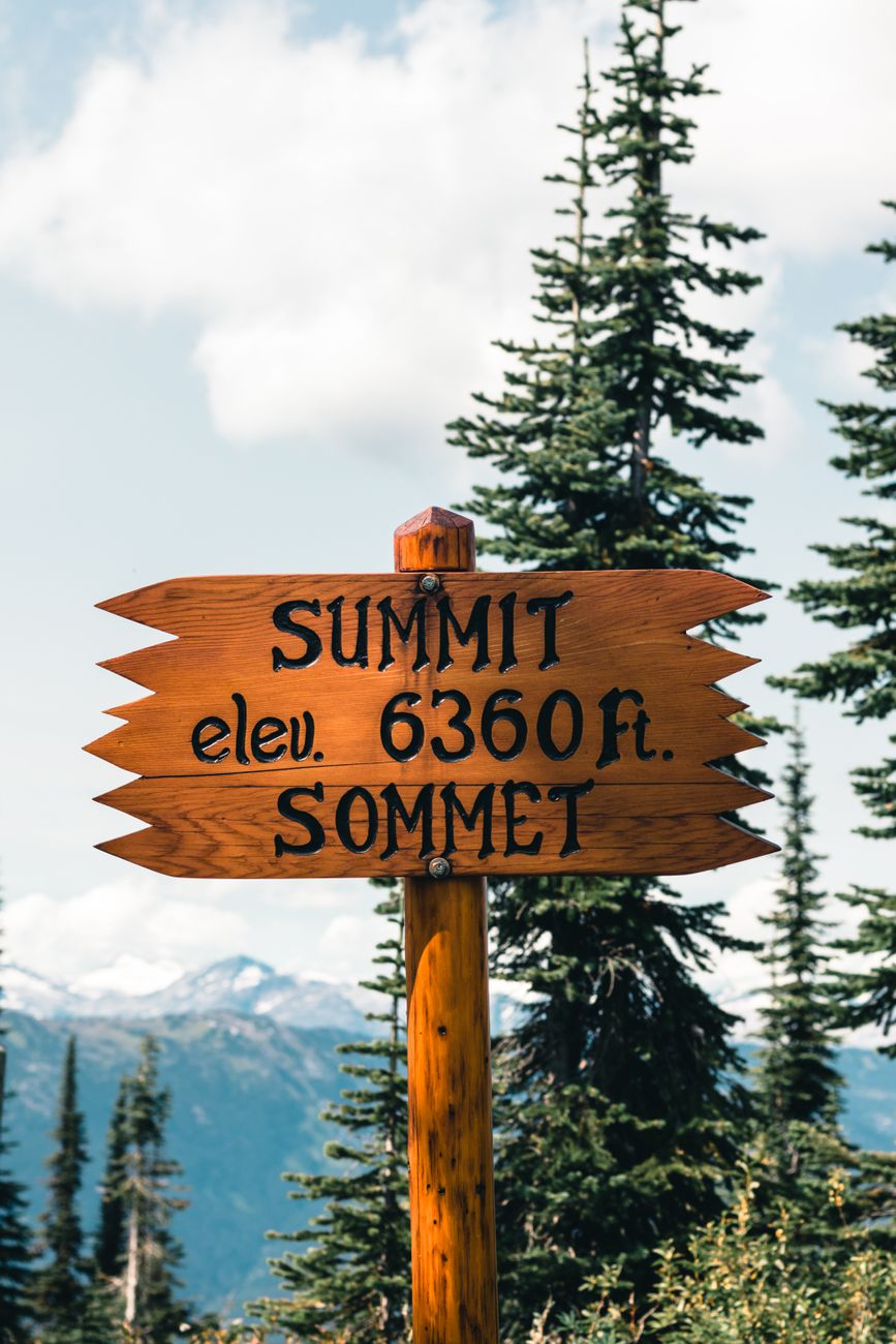
    Six miles south of Poncha Market, US Highway 285 climbs out of the Arkansas River valley and over Poncha Pass — a 9,010-foot summit that marks the divide between the Arkansas and Rio Grande watersheds. It’s not one of Colorado’s famous high-alpine passes, but it’s a real climb, and it catches some drivers off guard.

    This guide covers what the climb actually involves, when winter weather becomes a factor, and where to fuel up, check tire pressure, or top off an EV before you start the ascent.

    How High Is Poncha Pass, and How Steep Is the Climb?

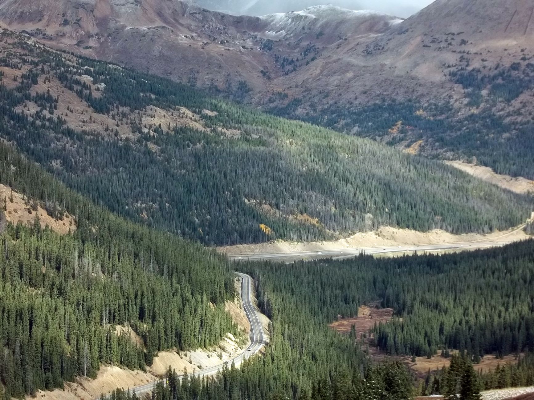
    Poncha Pass sits at 9,010 feet, roughly 1,500 feet higher than Poncha Springs itself at around 7,500 feet. The highway is fully paved on both sides, and grades on the climb run up to roughly 5% on the steeper southern approach — noticeable for a loaded vehicle or a trailer, but well within normal passenger-vehicle capability in good conditions.

    Unlike some of Colorado’s higher mountain passes, Poncha Pass stays open year-round. That’s good news for planning a route, but it also means winter driving conditions are something every driver crossing it needs to actually plan for, not just something to check if the forecast looks bad.

    Why the Pass Matters: The Watershed Divide

    Poncha Pass marks the divide between the Arkansas River watershed to the north and the Rio Grande watershed to the south. Water falling on the north side of the summit eventually flows toward the Arkansas River and, ultimately, the Mississippi; water on the south side flows into the Rio Grande basin and the San Luis Valley. It’s a subtle detail on a drive, but it explains why the pass has long served as a natural dividing line for travel routes through this part of Colorado, not just a modern highway alignment.

    From the top, the summit offers views of both the Sangre de Cristo range to the south and the Sawatch Range to the north — worth a short stop if you have the time, even if you’re not planning to linger.

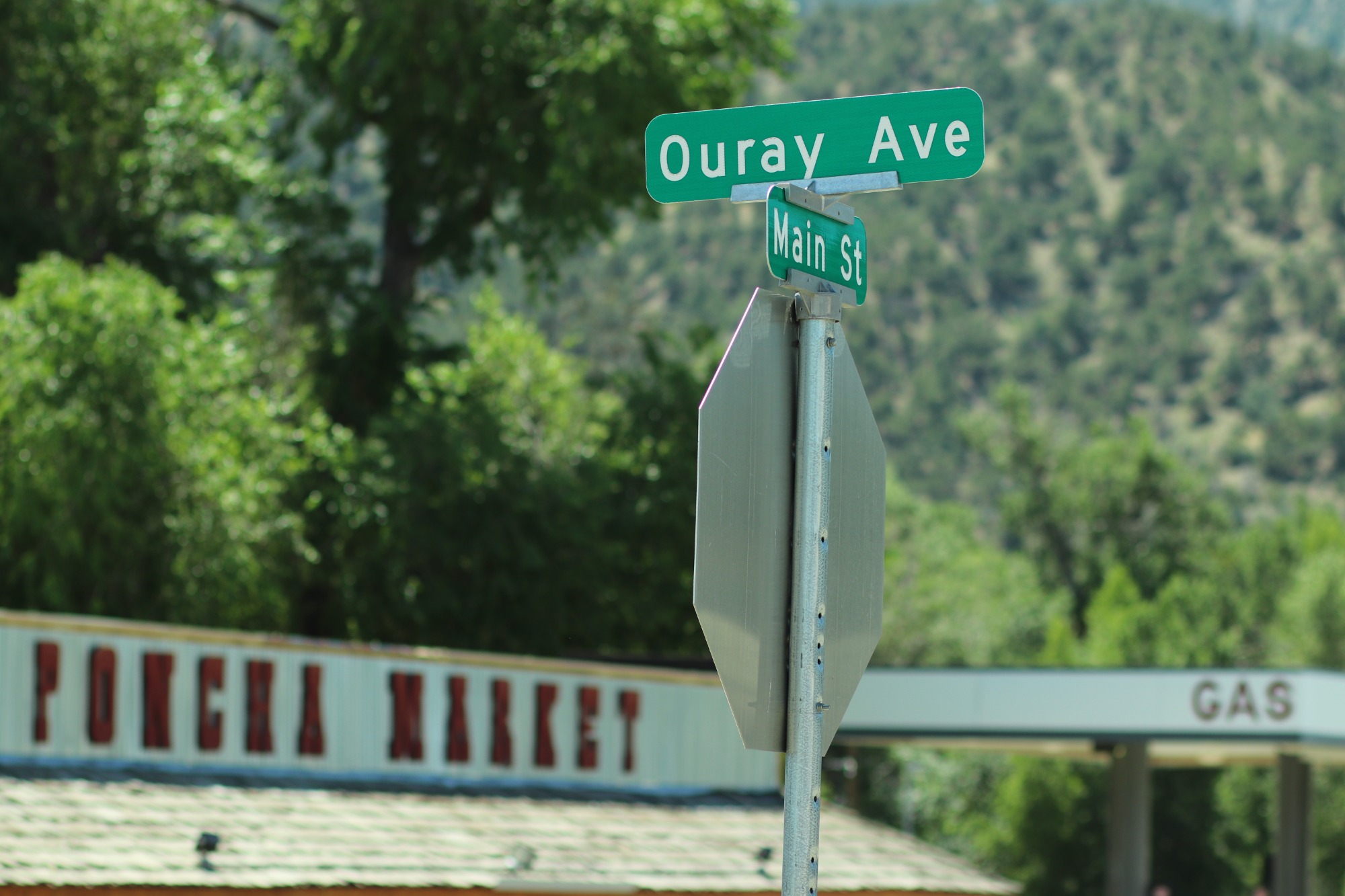
    Ouray Avenue and Main Street signage in Poncha Springs, the starting point before the climb south

    Winter Driving: What to Expect

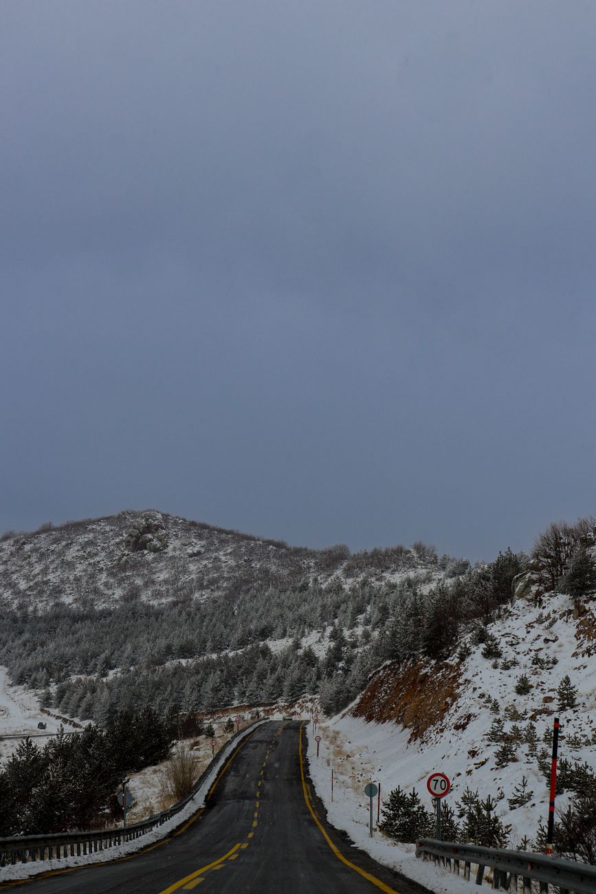
    Snow and icy patches are common on Poncha Pass from late fall through spring, and Colorado’s chain law can apply to commercial vehicles and, in more severe conditions, to passenger vehicles as well. The Colorado Department of Transportation tracks mountain corridor rules and seasonal restrictions statewide, and it’s worth checking before a winter crossing rather than assuming the road will be clear.

    • Check current road conditions before you leave — conditions on a 9,000-foot pass can differ sharply from conditions in town, even a few miles away.
    • Carry tire chains or traction devices in winter months, even if you don’t expect to need them.
    • Reduce speed on the descent, not just the climb — loss of traction on the downhill side is a common cause of slide-offs on mountain passes generally.
    • Top off fuel or EV charge before starting the climb rather than after — there’s no service directly on the pass itself.
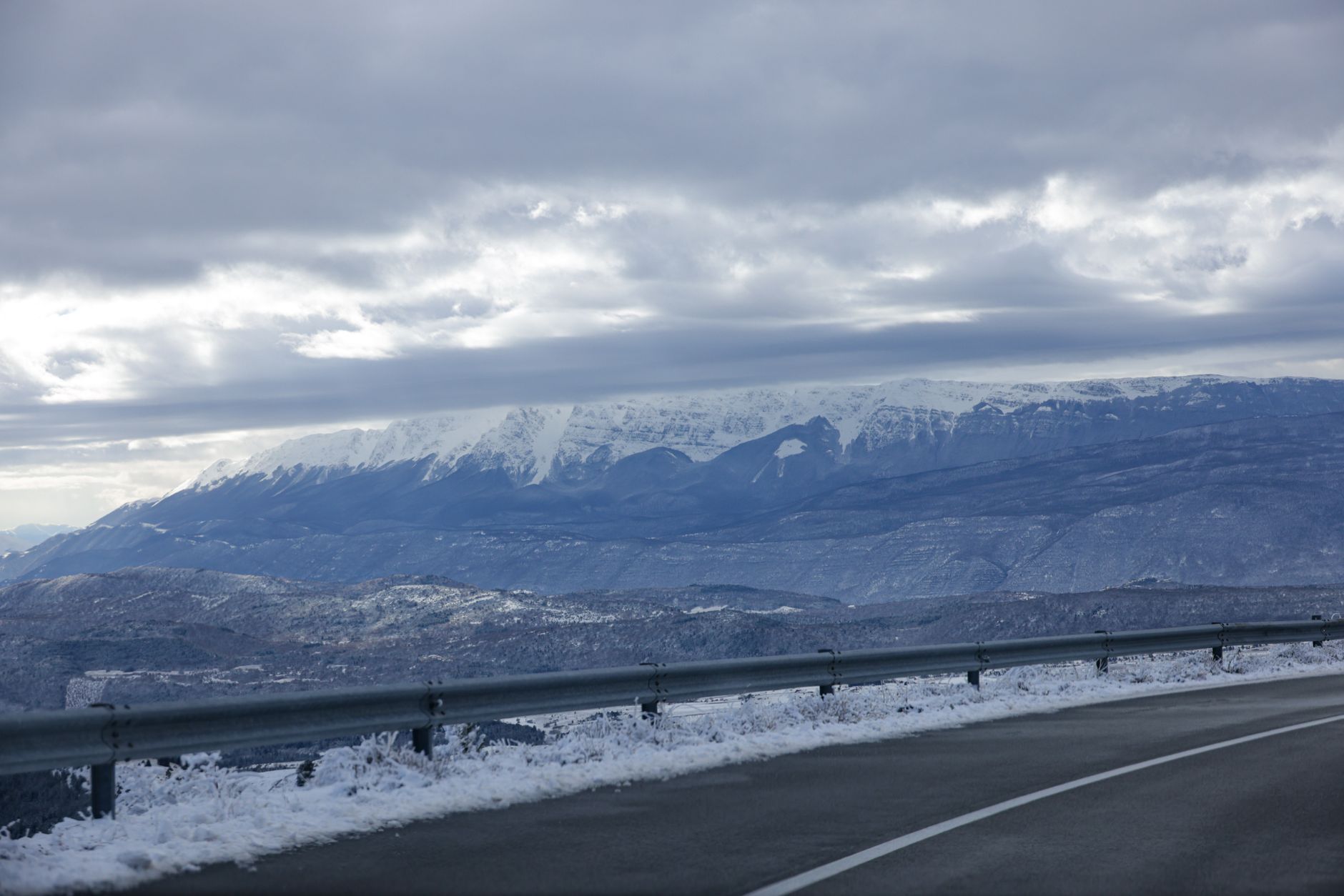
    Two-lane mountain road winding through snow under a cloudy Colorado sky

    A Note for Truckers and Long-Haul Drivers

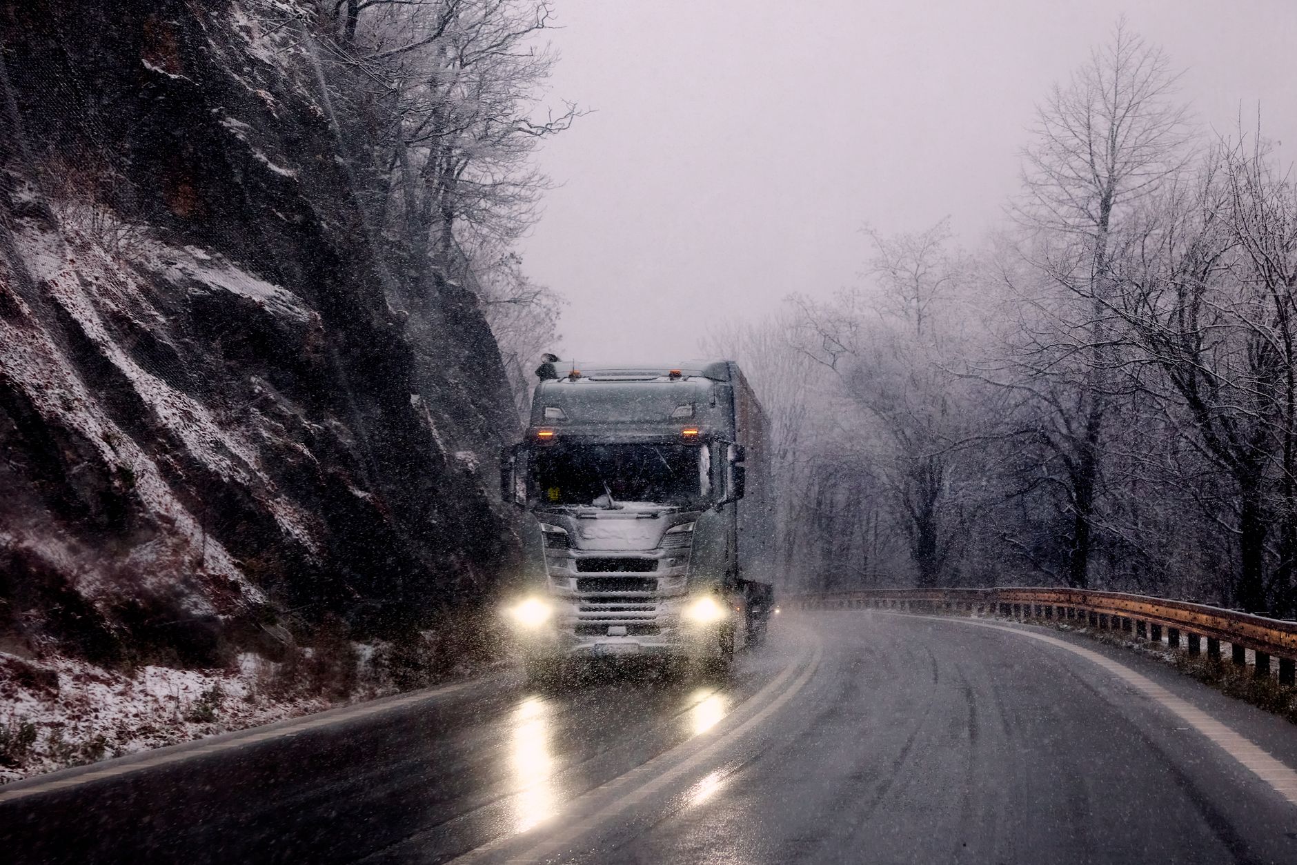
    Poncha Pass sees regular truck traffic as part of the US-285 corridor connecting the San Luis Valley to central Colorado. Historical safety data on the pass shows a small number of recorded truck incidents over the years, generally without fatalities — consistent with a moderate, well-maintained grade rather than a genuinely hazardous one, but still a reminder to respect posted truck speed limits and runaway-vehicle signage on the descent.

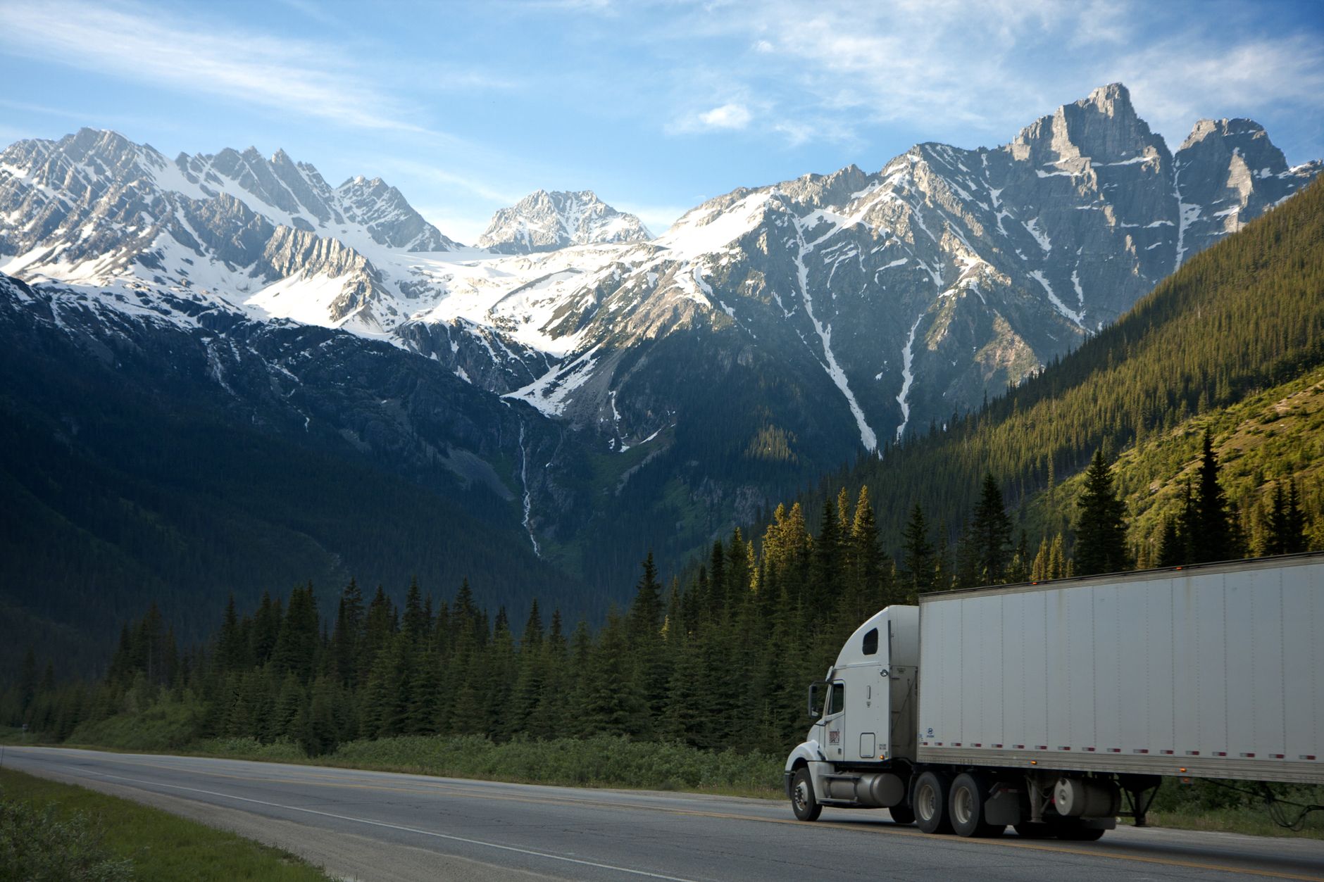
    Semi-truck driving a highway with snow-capped mountains in the background

    Engine braking, lower gears on the descent, and extra following distance are standard practice here, the same as on any graded mountain highway — nothing about Poncha Pass requires special equipment beyond what’s already sensible for winter mountain driving in Colorado generally.

    Poncha Pass vs. Other Nearby Colorado Passes

    For drivers weighing routes, here’s how Poncha Pass compares to two other passes commonly discussed in the same corridor.

    PassElevationOpen Year-RoundTypical Difficulty
    Poncha Pass9,010 ftYesModerate grade, paved, generally straightforward
    Monarch Pass11,312 ftYesHigher, more exposed, can close briefly in severe storms
    Wolf Creek Pass10,850 ftYesSteeper grades, more winter closures than Poncha
    Heavy truck climbing a snow-dusted mountain pass road

    Of the three, Poncha Pass is generally the least demanding — useful context if you’re deciding whether to route through Poncha Springs or further west toward Monarch Pass and Gunnison on the same trip.

    What’s at the Top, and What Isn’t

    There’s no gas station, restaurant, or store directly on Poncha Pass — just the summit sign, a pull-off, and the view. That makes the stretch on either side of the climb the practical place to prepare, rather than the summit itself. Cell service can also be inconsistent in the immediate area around the pass, so it’s worth downloading offline maps or confirming your route before you leave rather than relying on a signal partway up.

    How Poncha Pass Fits Into a Longer Colorado Road Trip

    For travelers routing through central Colorado, Poncha Pass is usually one leg of a bigger day rather than the destination itself. Coming from the north on US-285, the pass is the first real climb after Poncha Springs; continuing south puts you on the way toward the San Luis Valley, Great Sand Dunes National Park, and eventually New Mexico. Heading west instead, US-50 climbs to the considerably higher Monarch Pass and the Continental Divide.

    Because the two routes split right at the US-50/US-285 junction in Poncha Springs, it’s worth deciding which direction you’re headed before you leave the gas pumps — both climbs benefit from a full tank, a full charge, and a full stomach, but they’re different drives with different elevation profiles and different weather patterns to watch for.

    Before You Climb: A Quick Checklist

    1. Fuel up or top off EV charge at Poncha Market before starting the climb.
    2. Check current mountain corridor conditions if you’re traveling between late fall and spring.
    3. Confirm your tires and, in winter, your traction devices, before you leave — not partway up.
    4. Grab food at Mabel’s Deli while you’re stopped — there’s no service directly on the pass.
    Cleared winter road cutting through snow-covered mountain terrain

    Frequently Asked Questions

    How high is Poncha Pass?

    9,010 feet above sea level, about 1,500 feet higher than Poncha Springs at the base of the climb.

    Is Poncha Pass open in winter?

    Yes, it stays open year-round, though snow and ice are common from late fall through spring and winter driving precautions apply.

    Is Poncha Pass steep?

    The grade runs up to roughly 5% on the steeper approach — a real but moderate climb compared to some of Colorado’s higher passes.

    Where’s the last stop for gas before Poncha Pass?

    Poncha Market, six miles north of the summit at the US-50/US-285 junction in Poncha Springs, is the last fuel and food stop before the climb.

    Does Poncha Pass require chains?

    Chain requirements depend on current conditions and vehicle type under Colorado’s mountain corridor rules; check current restrictions before a winter crossing rather than assuming none apply.

    Are there services on top of Poncha Pass?

    No — there’s a summit sign and pull-off, but no gas, food, or store directly on the pass. Fuel and food stops are on either side, in Poncha Springs to the north.

    What watershed does Poncha Pass divide?

    It marks the divide between the Arkansas River watershed to the north and the Rio Grande watershed to the south.

    Heading south over the pass? Fuel up and eat at Poncha Market first, check EV charging details, or read our full Highway 285 stop guide.

    For current road and chain-law information before crossing, see the Colorado Department of Transportation. For live conditions and traffic cameras along the route, check COtrip, Colorado’s official traveler information site.

  • The Best Sandwiches to Order at a Colorado Gas Station Deli: Mabel’s Deli Menu Guide

    The Best Sandwiches to Order at a Colorado Gas Station Deli: Mabel’s Deli Menu Guide

    Most gas station food is an afterthought — shrink-wrapped, heat-lamped, or fried once and forgotten. Mabel’s Deli, the sandwich counter inside Poncha Market in Poncha Springs, Colorado, works differently: sandwiches are built to order with fresh vegetables cut in front of you, local meats and cheeses, and bread that regular customers describe as homemade.

    This guide walks through what’s actually on the menu, what past customers order, and how to pick something good in the few minutes it takes your car to fuel up or your Tesla to add a few dozen miles of range at the Supercharger station out front.

    Who Is Mabel? The Story Behind the Deli

    Mabel’s Deli, founded in 2018, is named after Mabel Jean Hall — a Poncha Springs native and mother to the current owners of Poncha Market. The deli commemorates her memory through the food it serves, and the family connection is part of why regulars describe the staff as more like neighbors than gas station employees.

    That local, family-run character shows up in small details: meats and cheeses sourced locally where possible, vegetables sliced fresh rather than pre-portioned, and a menu that leans toward real cooking — grill items and breakfast plates — rather than a rack of pre-made options. Poncha Market describes itself as a business built on lasting customer relationships rather than pure convenience-store turnover, and the deli counter is where that shows up most directly.

    It’s also worth knowing what Mabel’s Deli isn’t: it’s not a sit-down restaurant with table service, and it’s not a fast-food chain running the same standardized menu at every location. It’s a single, family-operated counter inside a working gas station, which is exactly why the sandwiches taste more like something made in someone’s kitchen than something assembled on a production line.

    The Signature Sandwiches

    Two sandwiches come up again and again in customer conversation and online reviews of the deli:

    • The Reuben ($9.99) — hot corned beef, sauerkraut, Swiss cheese, and 1000 island dressing, stacked on marble rye and grilled until the bread crisps.
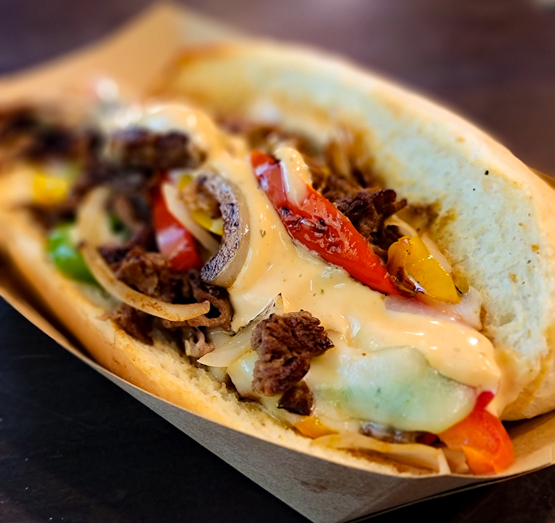
    • The Philly ($9.99) — shaved beef, sautéed peppers and onions, melted provolone, and chipotle mayo, built the way a proper Philly-style sandwich should be: hot, messy, and generously portioned.
    Hot Reuben sandwich with corned beef, sauerkraut, and Swiss cheese on marble rye

    Both are grill sandwiches, meaning they come out hot rather than assembled cold — worth knowing if you’re timing your order against a Supercharger session and want food that’s still warm when your car finishes charging.

    Handcrafted Philly cheesesteak sandwich with peppers, onions, and melted provolone

    Build-Your-Own Sandwiches, Wraps, and Salads

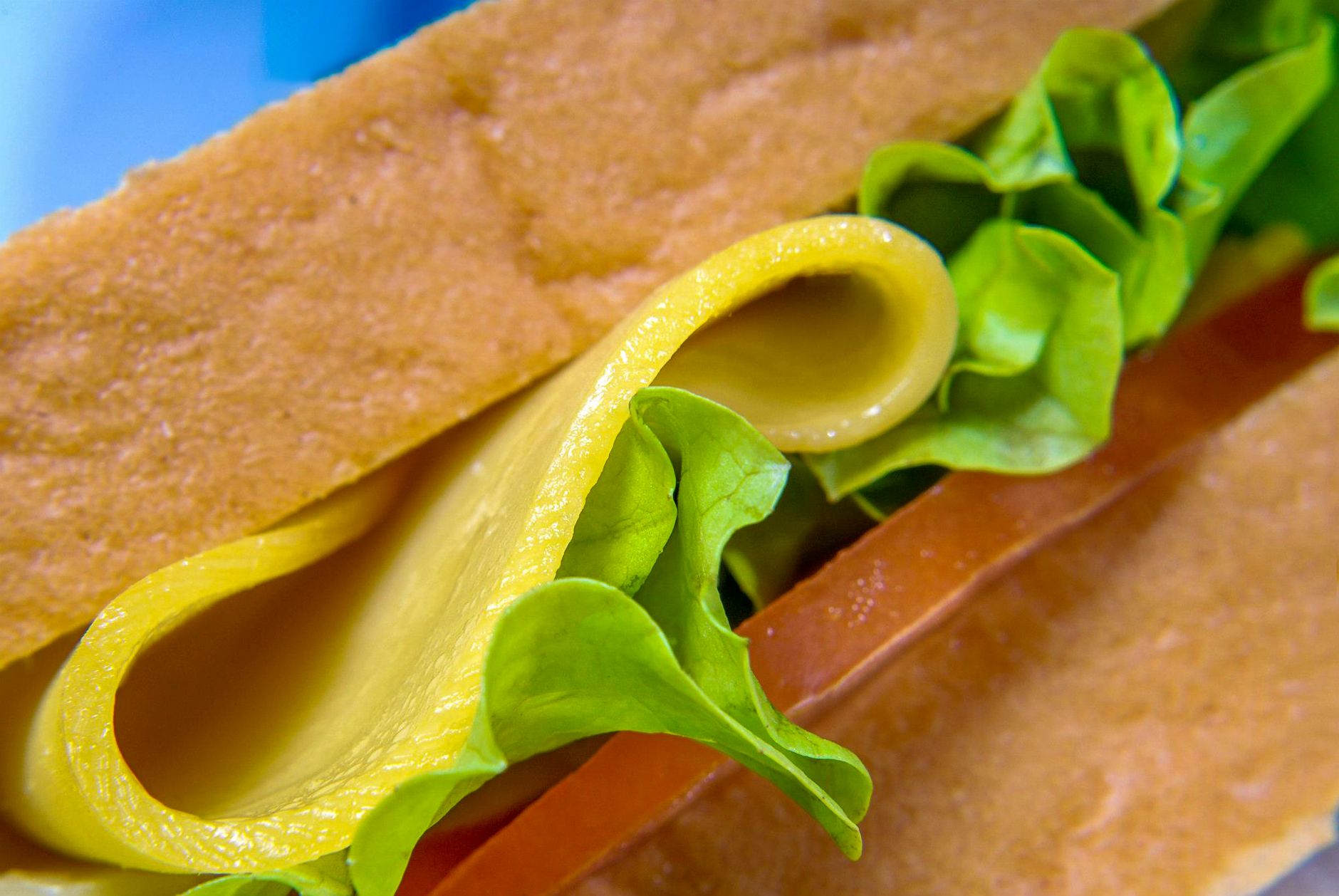
    For anyone who’d rather customize, Mabel’s Deli also does build-your-own sandwiches, wraps, and salads, with a choice of breads, meats, cheeses, and fresh toppings — and gluten-free bread is available on request, which is worth flagging up front for travelers managing dietary restrictions on a road trip.

    Sliced corned beef sandwich with mustard on rye bread

    One customer review described watching the process directly: vegetables sliced fresh to order, not pulled pre-cut from a bin — the kind of detail that’s easy to miss on a menu board but noticeable the moment the sandwich is in your hands.

    Beyond Sandwiches: Breakfast, Grill, and Extras

    Sandwiches aren’t the only thing worth ordering. Regulars consistently point to the breakfast croissant sandwich and breakfast burrito as strong options for an early start — useful if you’re passing through before a day of hiking, rafting, or driving over the Poncha Pass or Monarch Pass.

    • Breakfast croissant sandwich and breakfast burrito
    • Tamales, mentioned specifically by returning customers as a reason to stop again
    • Grill items alongside the deli counter
    • Organic, vegan fruit-and-vegetable shooters kept in the cooler for a lighter option
    • Coffee and fountain drinks at the convenience store counter
    Close-up of a Philly cheesesteak sandwich with melted cheese and grilled peppers

    Sandwich Comparison at a Glance

    ItemStylePriceBest For
    The ReubenHot grill sandwich$9.99Classic deli order, warm and hearty
    The PhillyHot grill sandwich$9.99Bigger appetite, messier eat-in-car option
    Build-your-ownCold or grilled, customVariesDietary needs, picky eaters, gluten-free bread
    Breakfast croissant / burritoHot breakfastVariesEarly starts and morning departures
    Close-up detail of a fresh deli sandwich layered with lettuce and deli meat

    What Customers Actually Say

    “You cannot beat this place for a quick but good breakfast. I usually get the breakfast croissant sandwich but the burrito is great too. The corner market has lots of snacks and the gas station makes for a convenient stop.”

    Jenny B., customer review

    “Stopped in for a drink and seen they had sandwiches. I love sandwiches. So of course I got two. Took a bit for them but so worth it! The bread must be homemade and all veggies were fresh and cut right in front of you!”

    Brianna T., customer review
    Mabel's Deli window decal at the Poncha Market storefront entrance

    What to Expect at the Counter

    Because everything is made to order rather than pre-assembled, expect a short wait — usually just a few minutes, longer if the counter is busy with a rush of travelers off the highway. That’s a deliberate trade-off: the same review that praised the fresh-cut vegetables also noted the wait, and most regulars consider it worth it.

    Poncha Market also offers online ordering, which can be worth using if you know your arrival time and want to skip the wait entirely — particularly useful for a Tesla driver planning to time their food around a charging session rather than the other way around.

    The counter also handles the convenience-store side of the business: fountain drinks, coffee, snacks, and the usual gas-station staples, alongside the deli. That combination — a real deli menu attached to a working gas station and convenience store — is less common than it sounds, which is part of why the sandwiches keep coming up in reviews at all. Most travelers expect one or the other, not both done well in the same stop.

    Tips for Ordering at Mabel’s Deli

    1. If you’re charging a Tesla out front, order first, then keep an eye on your charge percentage — grill sandwiches take a few minutes longer than a pre-made option, but they come out hot.
    2. Ask about gluten-free bread if you need it; it’s available but not always listed prominently on the board.
    3. Traveling with a group with different diets? Build-your-own options and salads mean everyone can order something without a separate stop.
    4. Grab a fruit-and-vegetable shooter from the cooler if you want something lighter alongside a sandwich rather than instead of one.

    Frequently Asked Questions

    What is the most popular sandwich at Mabel’s Deli?

    The Reuben and the Philly are the two most frequently mentioned by returning customers, both priced at $9.99.

    Does Mabel’s Deli have gluten-free options?

    Yes. Gluten-free bread is available for build-your-own sandwiches and wraps.

    Who is Mabel’s Deli named after?

    Mabel Jean Hall, a Poncha Springs native and mother to Poncha Market’s current owners. The deli, founded in 2018, was named in her honor.

    Is there breakfast food at Mabel’s Deli?

    Yes — a breakfast croissant sandwich and breakfast burrito are both regularly ordered, along with grill items and coffee.

    Can I order while my Tesla is charging?

    Yes. Mabel’s Deli sits inside the same building as Poncha Market’s 8 Tesla Superchargers, so ordering food and charging your car happen in the same stop.

    Can I order ahead online?

    Yes, Poncha Market offers online ordering, which can help travelers on a schedule avoid waiting at the counter during busier stretches of the day.

    Is Mabel’s Deli only for people buying gas?

    No — the deli counter is open to anyone stopping in, whether or not you’re fueling up or charging a vehicle. Plenty of visitors stop specifically for the food.

    Passing through on US-285? See where else to stop along Highway 285, check Tesla Supercharging details, or read more customer reviews before you visit.

    For general guidance on handling and storing deli-style meats safely on a road trip, see the USDA’s cold food storage guidance at FoodSafety.gov.

  • US Highway 285 Through Poncha Springs: Where to Stop, Eat, and Fuel Up

    US Highway 285 Through Poncha Springs: Where to Stop, Eat, and Fuel Up

    Poncha Springs, Colorado calls itself the “Crossroads of Colorado,” and the name is literal: it sits right where US Highway 50 meets US Highway 285, with Poncha Pass climbing to 9,010 feet just six miles south. If you’re driving this stretch, here’s what’s actually worth stopping for.

    Most of what’s written about Highway 285 through this area covers geography and scenery well — but says almost nothing about where to actually eat, fuel up, or charge an EV along the way. This guide fills that gap.

    Where Is Poncha Springs, Colorado?

    Poncha Springs sits in Chaffee County, in Colorado’s high country, at the junction of US-50 and US-285. It’s a few miles west of Salida, and just north of Poncha Pass — a 9,010-foot summit that divides the Rio Grande and Arkansas River watersheds.

    Because of that junction, Poncha Springs sees a mix of traffic that most small Colorado towns don’t: travelers heading north-south on 285 between Denver and the San Luis Valley, and travelers heading east-west on 50 between Salida and Gunnison over Monarch Pass.

    That combination is why locals sometimes call it the “Crossroads of Colorado” — it’s less a destination in its own right than a genuine junction, the kind of place where two very different road trips overlap for a few miles.

    Driving Conditions Through Poncha Springs by Season

    Elevation shapes almost everything about this stretch of highway. Poncha Springs itself sits around 7,500 feet, and Poncha Pass just south climbs to 9,010 feet.

    • Summer: The most reliable driving season, though afternoon mountain thunderstorms are common — morning departures tend to mean clearer roads.
    • Fall: Cooler, often clear, and a good time to see aspen color in the surrounding hills without summer traffic.
    • Winter and spring: Snow is common at higher elevations well into spring. Poncha Pass and Monarch Pass can both see sudden weather changes, so checking road conditions before you leave is worth the extra minute.

    See our full seasonal guide to visiting Poncha Springs for a month-by-month breakdown of driving conditions and what’s open.

    Snow-covered Colorado mountain peaks lit by sunset light

    Best Places to Stop for Food Along Highway 285 Near Poncha Springs

    Colorado has a handful of gas-station food stops worth planning a stop around. Here’s how the options along or near this stretch of highway compare.

    StopLocationFood StyleEV Charging On-Site
    Poncha Market / Mabel’s DeliPoncha Springs (US-50/US-285 junction)Handcrafted deli sandwiches, breakfast, grillYes — 8 Tesla Superchargers
    Gas Cafe One StopCrested ButteBreakfast, burgers, sandwichesNo
    Buc-ee’sJohnstown (I-25)Prepared food, snacks, brisket sandwichesNo
    Love’s Travel StopMultiple CO locationsFresh-cut fruit, salads, handcrafted sandwichesVaries by location

    Of these, Poncha Market is the only one that combines a real deli menu with on-site Tesla Supercharging — useful to know if you’re driving an EV and don’t want to make two separate stops.

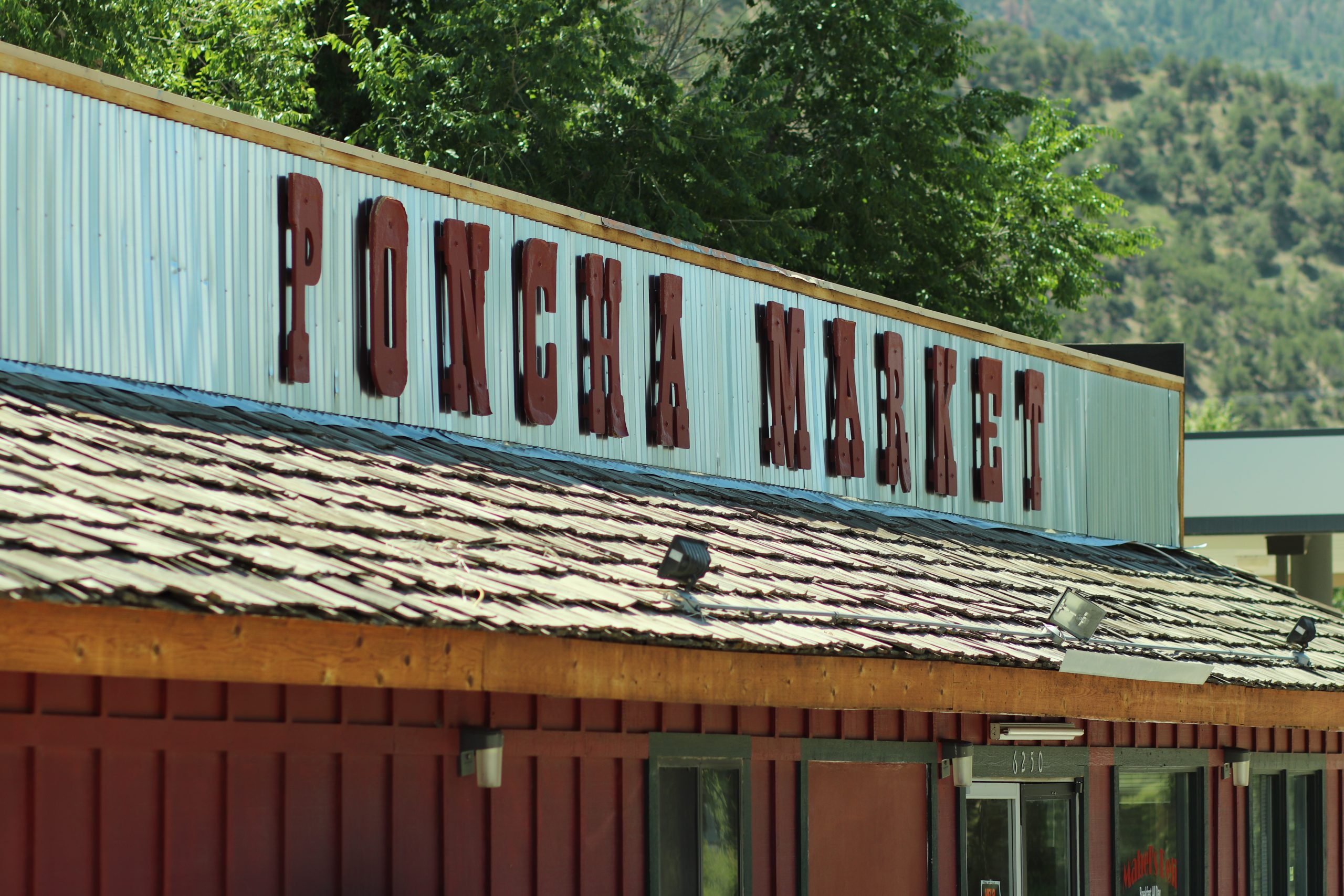
    Poncha Market roof sign against a backdrop of Colorado mountains and trees

    Fuel, EV Charging, and Restrooms in Poncha Springs

    Poncha Market functions as a full-service stop: gas pumps, a convenience store, restrooms, and 8 Tesla Superchargers available 24 hours a day. It’s the only stop directly at the US-50/US-285 junction that covers gas, food, and EV charging in one visit.

    For the full breakdown of what’s on-site — including convenience store hours and charging specs — see the Poncha Market services page.
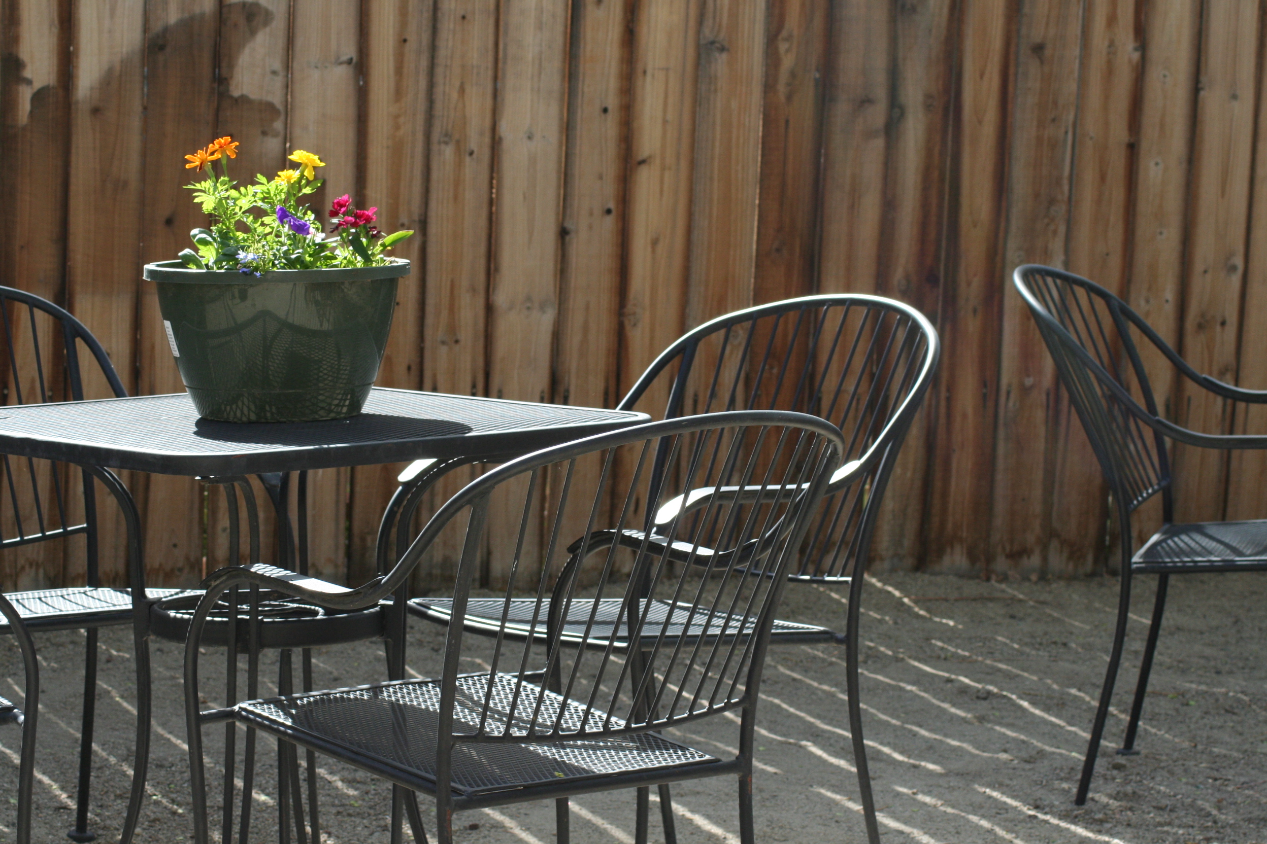
    Outdoor metal patio table and chairs at Poncha Market

    Things to Do Near Poncha Springs

    If you have more than a fuel-and-go stop in mind, the area has a few worthwhile detours:

    • Poncha Pass — a 9,010-foot summit six miles south, with views of the Sangre de Cristo and Sawatch mountain ranges. Worth a photo stop even if you’re not lingering.
    • Salida — about ten minutes north, with a walkable historic downtown, art galleries, and more restaurant variety than Poncha Springs itself offers.
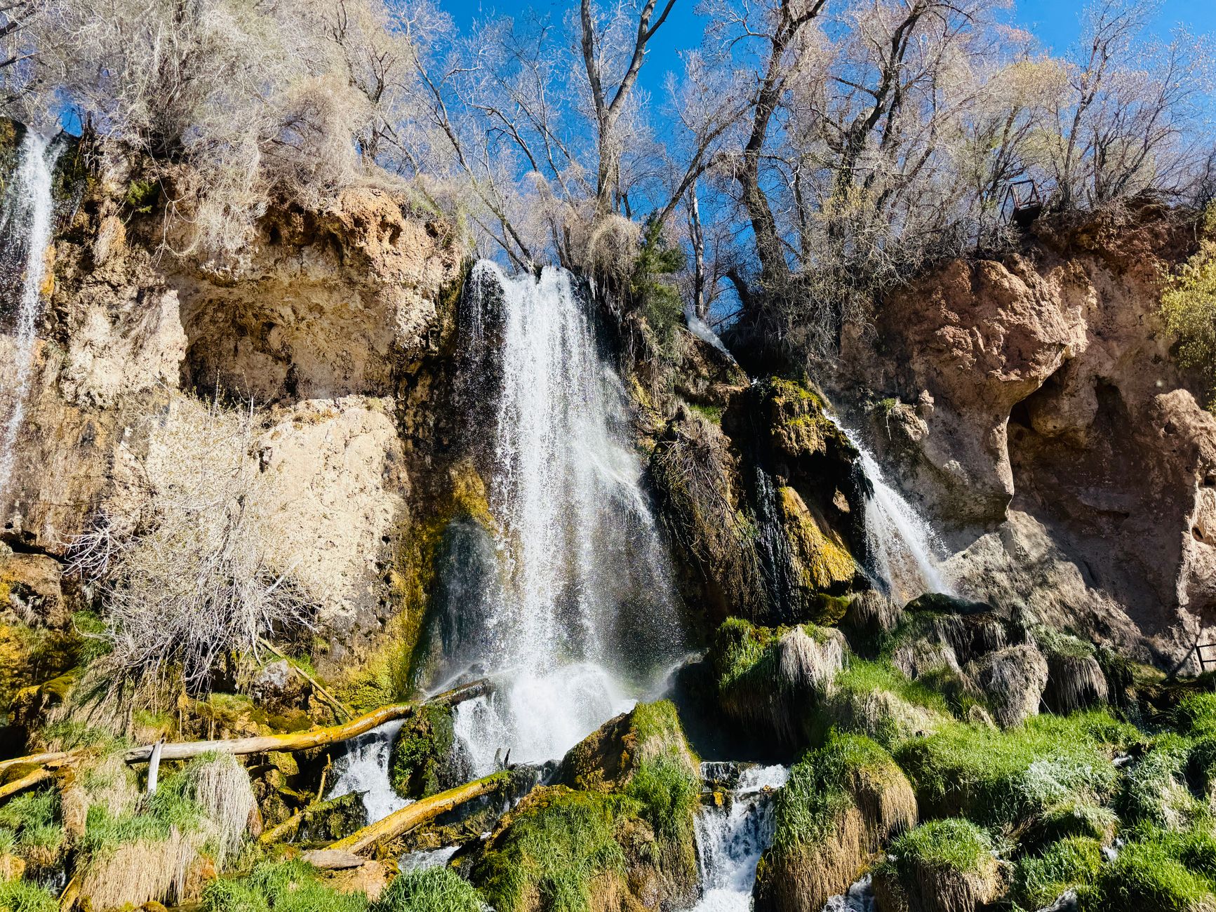
    • Natural hot springs — the wider Chaffee County area is known for several natural hot springs resorts, a popular add-on stop for travelers already in the region and a good reason to plan a longer break rather than a quick pass-through. See our Chaffee County hot springs guide.
    • Monarch Pass and the Continental Divide — heading west on US-50 from the junction, the highway climbs to the Continental Divide, a scenic detour if you have the extra time.
    • Browns Canyon rafting — the Arkansas River between Buena Vista and Salida is Colorado’s most popular whitewater rafting stretch, a short drive north of Poncha Springs.

    None of these require backtracking — they’re either directly on your route or a short, worthwhile detour from it, which is part of what makes this stretch of highway more interesting than a typical fuel stop.

    Scenic natural hot springs waterfall surrounded by lush greenery in Colorado

    A Simple Highway 285 Stop Order

    For travelers heading south from the Denver area toward Salida or the San Luis Valley, a practical stop sequence looks like this:

    1. Fuel up, charge, and grab food at Poncha Market in Poncha Springs.
    2. Detour into Salida if you want a longer break, hot springs, or more restaurant options.
    3. Continue south over Poncha Pass toward the San Luis Valley, or west on US-50 over Monarch Pass toward Gunnison.
    Curvy two-lane mountain road winding through a forested Colorado valley

    Frequently Asked Questions

    Is Poncha Springs a good place to stop on Highway 285?

    Yes. It sits directly at the US-50/US-285 junction and is one of the few stops in the area offering gas, a real deli menu, and Tesla Supercharging in one location.

    What’s between Salida and Poncha Springs?

    They’re about six to ten minutes apart by car along US-285/US-50, with Poncha Pass a few miles further south of Poncha Springs.

    Is there food at the Poncha Springs junction?

    Yes — Mabel’s Deli inside Poncha Market serves handcrafted sandwiches, breakfast, and grill items throughout the day.

    Does Poncha Springs have gas and EV charging?

    Yes. Poncha Market offers gas pumps and 8 Tesla Superchargers, available 24/7.

    How far is Poncha Springs from Denver?

    Roughly two and a half to three hours by car, depending on your route and conditions over the passes — making it a realistic midpoint stop rather than an end-of-day destination for most Denver-based road trips heading toward the San Luis Valley or the Western Slope.

    For official Colorado travel and byway information, see Colorado’s official tourism office. For detailed route history and mile markers along this highway, see the U.S. Route 285 in Colorado reference.

  • Tesla Supercharging in Poncha Springs, CO: The Complete Driver’s Guide

    Tesla Supercharging in Poncha Springs, CO: The Complete Driver’s Guide

    If you’ve searched for a Tesla Supercharger near Salida, Colorado and come up empty, you’re not imagining things — Salida itself has none. Drive about six minutes south on US Highway 285, though, and you’ll find eight of them, running around the clock in the parking lot of a small-town gas station and deli called Poncha Market.

    This guide covers exactly where the station is, what the charging hardware actually delivers, and — since you’ll have 20 to 30 minutes to spend anyway — where to get a real meal instead of a bag of gas station chips. If you’re routing here specifically from Denver, see our full Denver-to-Poncha-Springs Tesla road trip guide for the drive itself.

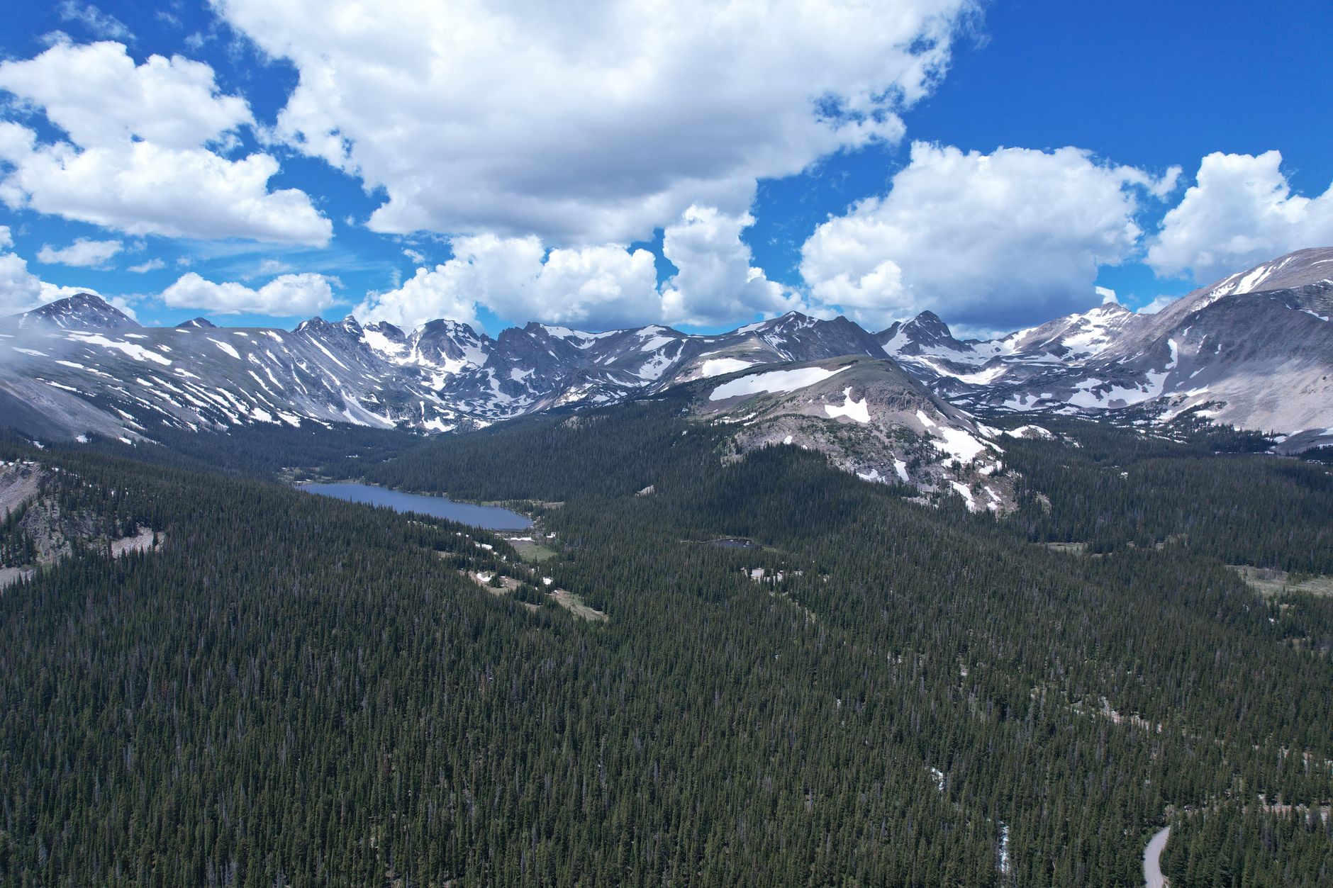
    Snow-capped Rocky Mountains rising above green forest in Colorado

    Why This Stop Matters for EV Road-Trippers

    Central Colorado is a tricky stretch for range anxiety. Between Denver and the Western Slope, elevation swings from around 5,000 feet to well over 9,000 feet at mountain passes, and cold weather at altitude can noticeably cut into a Tesla’s real-world range compared to the estimate on the dash.

    That makes a reliable, fast, 24-hour charging stop at a predictable location genuinely useful — not just a nice-to-have. Poncha Springs fills that role for the US-285 corridor the way a handful of other small-town Superchargers do for other Colorado highways.

    Where Is the Poncha Springs Supercharger, Exactly?

    The station sits at 6250 US Highway 285 in Poncha Springs, Colorado, at Poncha Market — a family-owned deli, convenience store, and gas station right at the junction of US-50 and US-285, an intersection locals call the “Crossroads of Colorado.”

    That location matters more than it sounds. Poncha Springs sits between two major travel corridors: the route north through Buena Vista toward Denver, and the route west over Monarch Pass toward Gunnison and the Western Slope. If your Tesla is routing you through central Colorado on US-285, there’s a good chance this is the stop it already has planned.

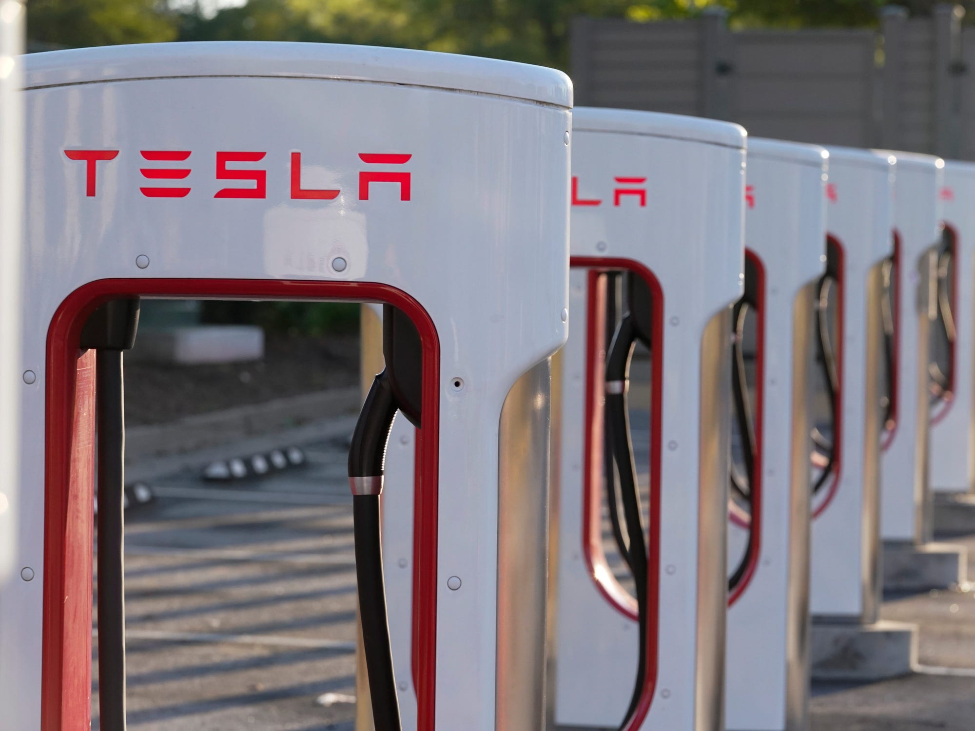
    Row of Tesla Supercharger stations at Poncha Market

    What to Expect: Charging Speed and Hardware

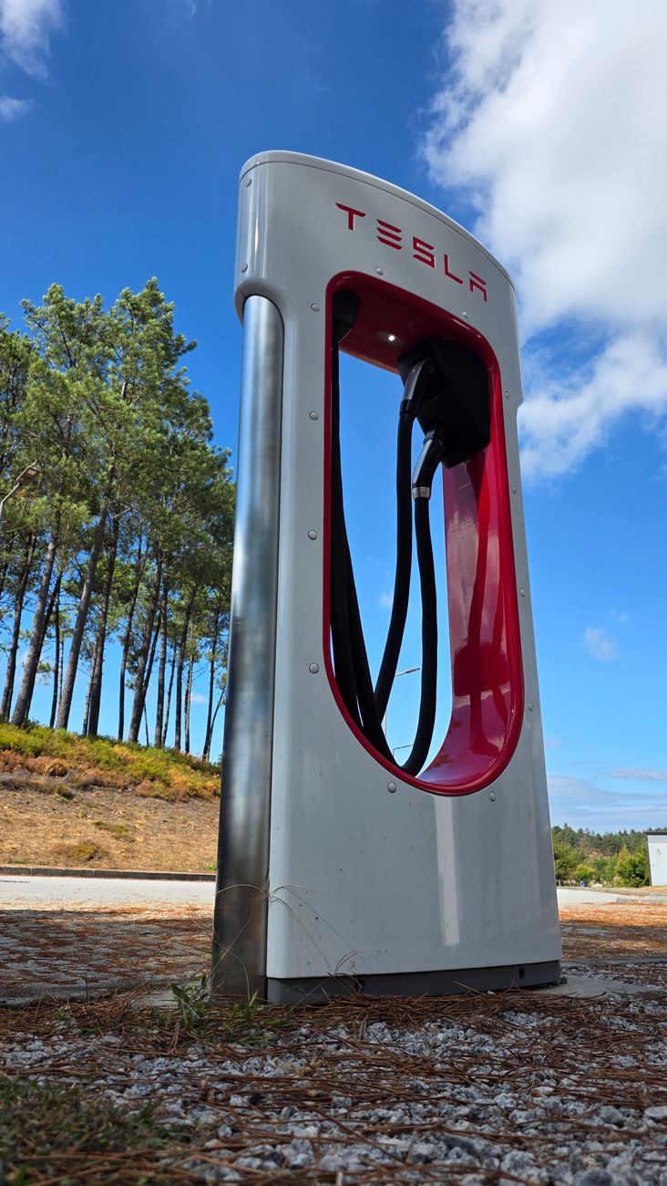
    The station has 8 charging stalls, available 24 hours a day. Independent listings and driver reports consistently describe the setup the same way:

    DetailWhat Drivers Report
    Charging stalls8
    Connector typeNACS (Tesla’s native plug)
    Availability24 hours a day, 7 days a week
    Max charging powerUp to 150kW on compatible vehicles
    Amenities on-siteRestrooms, WiFi, wheelchair access, credit cards accepted
    Nearest full-service restaurantsMostly in Salida, not within walking distance

    For most Tesla models arriving with a partly depleted battery, that’s enough power to add well over 150 miles of range in roughly the time it takes to eat a sandwich.

    Close-up of an electric vehicle plugged into a charging connector

    Because all 8 stalls run 24/7, the station sees traffic at unusual hours too — long-haul drivers passing through overnight, early starts before a day of hiking or rafting, and late arrivals off Monarch Pass.

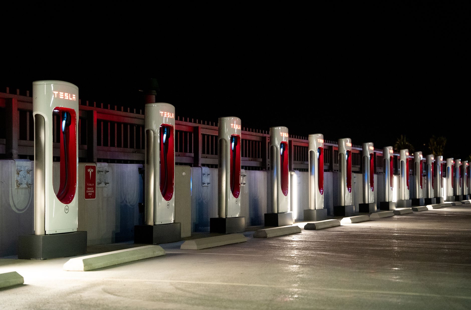
    Row of Tesla Supercharger stations illuminated at night, open 24 hours

    What to Do While You Charge

    This is the part most Supercharger location guides skip, and it’s the reason Poncha Springs is worth knowing by name rather than just coordinates. The deli is inside the same building as the charging stalls — not a separate stop, not a walk across a parking lot.

    Mabel’s Deli, the sandwich counter inside Poncha Market, has handcrafted sandwiches on-site since 2018. It’s named for Mabel Jean Hall, a Poncha Springs native and mother to the market’s current owners.

    A few menu items worth ordering while your car tops off — see our full Mabel’s Deli menu guide for the complete rundown:

    • The Reuben ($9.99) — hot corned beef, sauerkraut, Swiss, and 1000 island on marble rye
    • The Philly ($9.99) — shaved beef, sautéed peppers and onions, provolone, chipotle mayo
    • Build-your-own sandwiches, wraps, or salads, with gluten-free bread available
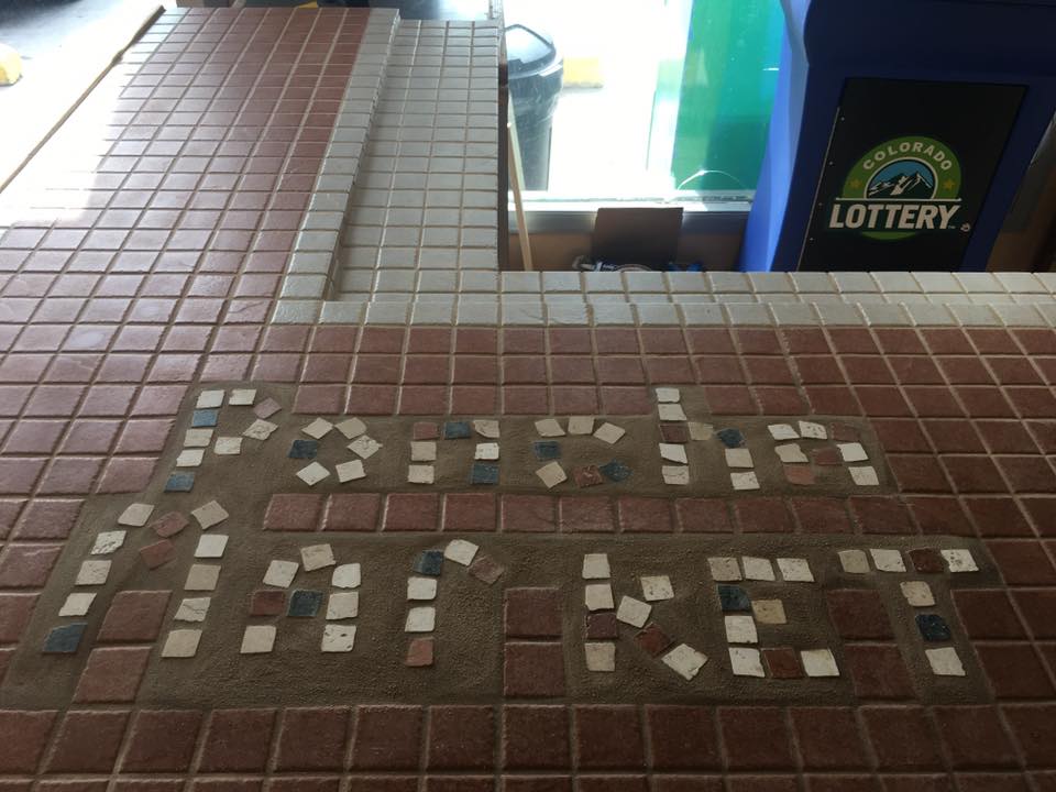
    Tile mosaic spelling Poncha Market on the store counter

    “Fantastic to have a Tesla supercharger here, beats waiting for the measly 20mph charger in BV. While you charge, grab a sandwich — the deli is great and people are very kind.”

    Meredith F., customer review

    Poncha Springs vs. Salida: Where Should You Charge?

    If your route also has you considering a stop in Salida instead, here’s how the two compare for an EV road-tripper specifically.

    Poncha Springs (Poncha Market)Salida
    Tesla Supercharger on-siteYes — 8 stalls, NACS, 24/7No
    Charging type availableDC fast charging (Supercharger)Level 2 public chargers only
    Food within steps of the chargerYes — deli inside the same buildingNo — restaurants are in town, a drive away
    Restrooms at the chargerYesVaries by charger location
    Best forA fast top-up on a through-driveA longer stop with more dining variety

    If your priority is charging speed without leaving the car unattended for long, Poncha Springs wins outright. If you have more time on your hands and want more restaurant variety, Salida — about ten minutes north — is worth the short detour.

    Peaceful two-lane mountain road under a dramatic cloudy Colorado sky

    Tips for a Smooth Charging Stop

    1. Check stall availability in the Tesla app before you arrive, especially on busy summer travel weekends.
    2. Order at the deli counter first, then let your food come out while you keep an eye on your charge percentage.
    3. Pack a jacket in shoulder season — Poncha Springs sits at roughly 7,500 feet, and the elevation keeps evenings cool even in summer.
    4. If you’re continuing south over Poncha Pass toward Salida or west over Monarch Pass, top off past 80% — the terrain climbs quickly in both directions.
    5. Traveling in winter? Poncha Pass and Monarch Pass can both see snow well into spring — a fuller charge before you leave gives you a bigger buffer if conditions slow you down. See our seasonal travel guide and winter driving checklist for what to expect.

    Frequently Asked Questions

    Is there a Tesla Supercharger in Salida, Colorado?

    No. The nearest Supercharger to Salida is about six miles south, in Poncha Springs, at Poncha Market on US Highway 285.

    How many charging stalls are at the Poncha Springs Supercharger?

    Eight, all NACS connectors, available 24 hours a day.

    Is there food near the Poncha Springs Supercharger?

    Yes — Mabel’s Deli operates inside the same building as the charging station, serving handcrafted sandwiches, breakfast, and grill items throughout the day.

    Can non-Tesla electric vehicles charge here?

    The connectors are Tesla’s NACS standard. Non-Tesla EVs with a NACS port or adapter may be able to charge depending on Tesla’s current network access policy for that vehicle — check the Tesla app or your vehicle’s manufacturer for current compatibility.

    Does cold or high-altitude weather affect charging here?

    Yes, the same way it affects any EV. At roughly 7,500 feet, Poncha Springs sees cooler temperatures than Colorado’s Front Range, which can slightly increase charging times and reduce real-world range on the drive in. Planning to arrive with a bit more buffer than you would at lower elevation is a reasonable precaution.

    Planning your stop? See the full Mabel’s Deli menu guide, check everything else available on-site, or get directions and charging details before you arrive.
    For official specifications on Tesla’s charging network, see Tesla’s Supercharger overview. For broader EV charging infrastructure data across Colorado, the U.S. Department of Energy’s Alternative Fuels Data Center maintains a searchable station map.