
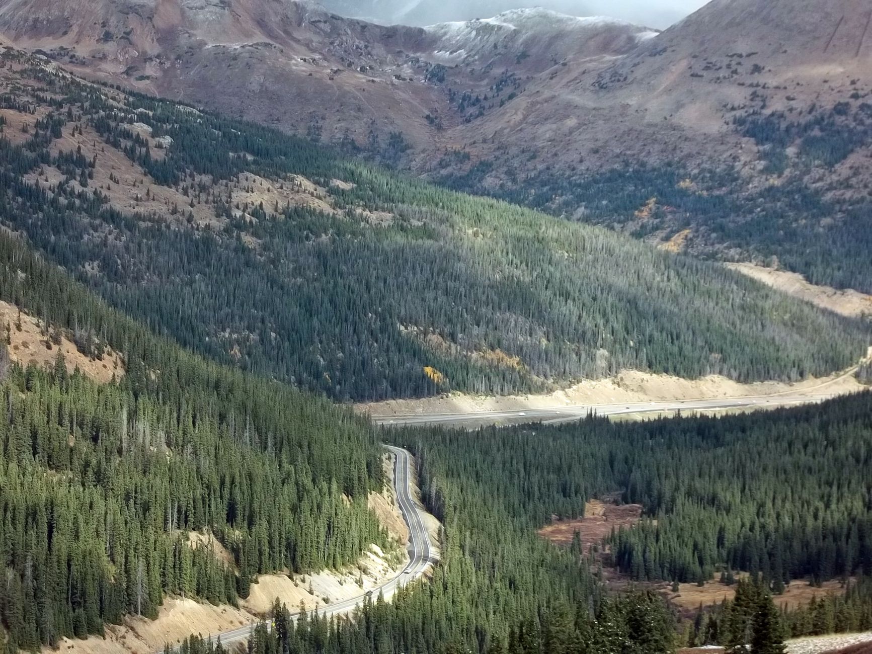
Poncha Springs, Colorado calls itself the “Crossroads of Colorado,” and the name is literal: it sits right where US Highway 50 meets US Highway 285, with Poncha Pass climbing to 9,010 feet just six miles south. If you’re driving this stretch, here’s what’s actually worth stopping for.
Most of what’s written about Highway 285 through this area covers geography and scenery well — but says almost nothing about where to actually eat, fuel up, or charge an EV along the way. This guide fills that gap.
Where Is Poncha Springs, Colorado?
Poncha Springs sits in Chaffee County, in Colorado’s high country, at the junction of US-50 and US-285. It’s a few miles west of Salida, and just north of Poncha Pass — a 9,010-foot summit that divides the Rio Grande and Arkansas River watersheds.
Because of that junction, Poncha Springs sees a mix of traffic that most small Colorado towns don’t: travelers heading north-south on 285 between Denver and the San Luis Valley, and travelers heading east-west on 50 between Salida and Gunnison over Monarch Pass.
That combination is why locals sometimes call it the “Crossroads of Colorado” — it’s less a destination in its own right than a genuine junction, the kind of place where two very different road trips overlap for a few miles.
Driving Conditions Through Poncha Springs by Season
Elevation shapes almost everything about this stretch of highway. Poncha Springs itself sits around 7,500 feet, and Poncha Pass just south climbs to 9,010 feet.
- Summer: The most reliable driving season, though afternoon mountain thunderstorms are common — morning departures tend to mean clearer roads.
- Fall: Cooler, often clear, and a good time to see aspen color in the surrounding hills without summer traffic.
- Winter and spring: Snow is common at higher elevations well into spring. Poncha Pass and Monarch Pass can both see sudden weather changes, so checking road conditions before you leave is worth the extra minute.
See our full seasonal guide to visiting Poncha Springs for a month-by-month breakdown of driving conditions and what’s open.
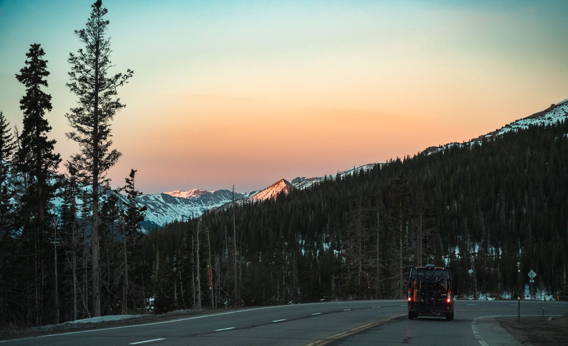
Best Places to Stop for Food Along Highway 285 Near Poncha Springs
Colorado has a handful of gas-station food stops worth planning a stop around. Here’s how the options along or near this stretch of highway compare.
| Stop | Location | Food Style | EV Charging On-Site |
|---|---|---|---|
| Poncha Market / Mabel’s Deli | Poncha Springs (US-50/US-285 junction) | Handcrafted deli sandwiches, breakfast, grill | Yes — 8 Tesla Superchargers |
| Gas Cafe One Stop | Crested Butte | Breakfast, burgers, sandwiches | No |
| Buc-ee’s | Johnstown (I-25) | Prepared food, snacks, brisket sandwiches | No |
| Love’s Travel Stop | Multiple CO locations | Fresh-cut fruit, salads, handcrafted sandwiches | Varies by location |
Of these, Poncha Market is the only one that combines a real deli menu with on-site Tesla Supercharging — useful to know if you’re driving an EV and don’t want to make two separate stops.
Fuel, EV Charging, and Restrooms in Poncha Springs
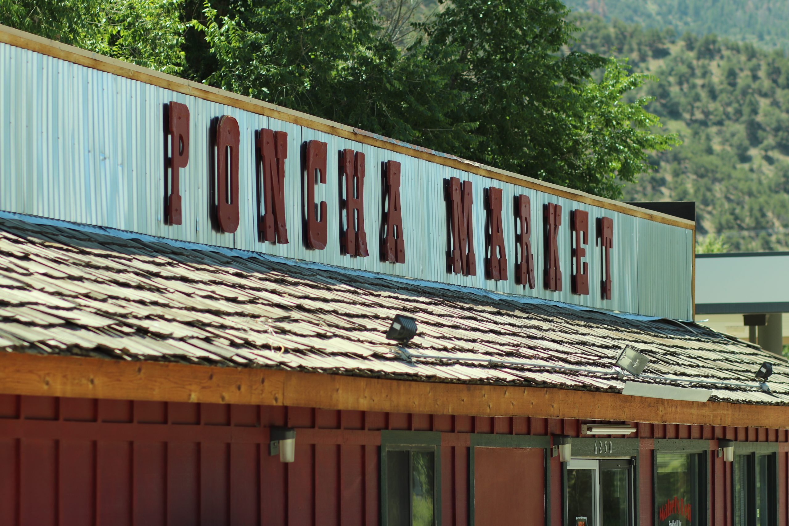
Poncha Market functions as a full-service stop: gas pumps, a convenience store, restrooms, and 8 Tesla Superchargers available 24 hours a day. It’s the only stop directly at the US-50/US-285 junction that covers gas, food, and EV charging in one visit.
For the full breakdown of what’s on-site — including convenience store hours and charging specs — see the Poncha Market services page.
Things to Do Near Poncha Springs
If you have more than a fuel-and-go stop in mind, the area has a few worthwhile detours:
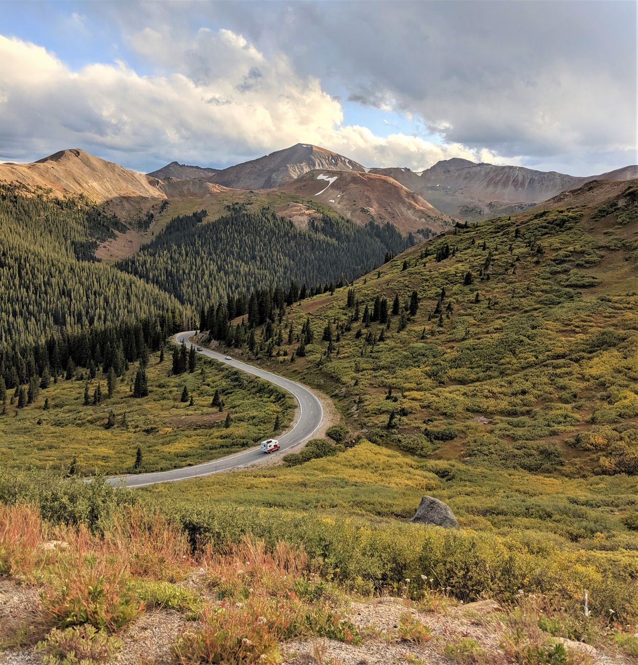
- Poncha Pass — a 9,010-foot summit six miles south, with views of the Sangre de Cristo and Sawatch mountain ranges. Worth a photo stop even if you’re not lingering.
- Salida — about ten minutes north, with a walkable historic downtown, art galleries, and more restaurant variety than Poncha Springs itself offers.
- Natural hot springs — the wider Chaffee County area is known for several natural hot springs resorts, a popular add-on stop for travelers already in the region and a good reason to plan a longer break rather than a quick pass-through. See our Chaffee County hot springs guide.
- Monarch Pass and the Continental Divide — heading west on US-50 from the junction, the highway climbs to the Continental Divide, a scenic detour if you have the extra time.
- Browns Canyon rafting — the Arkansas River between Buena Vista and Salida is Colorado’s most popular whitewater rafting stretch, a short drive north of Poncha Springs.
None of these require backtracking — they’re either directly on your route or a short, worthwhile detour from it, which is part of what makes this stretch of highway more interesting than a typical fuel stop.
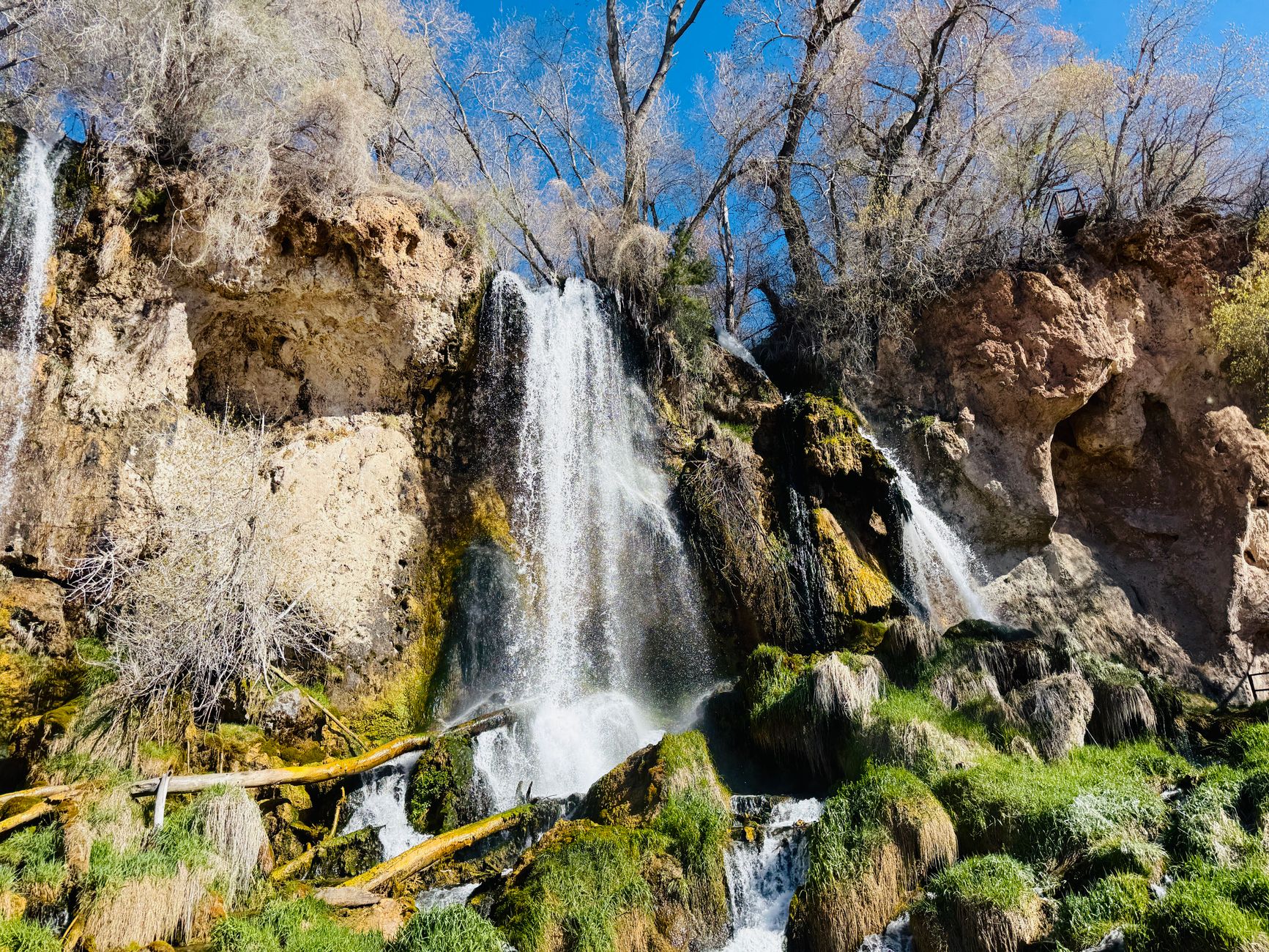
A Simple Highway 285 Stop Order
For travelers heading south from the Denver area toward Salida or the San Luis Valley, a practical stop sequence looks like this:
- Fuel up, charge, and grab food at Poncha Market in Poncha Springs.
- Detour into Salida if you want a longer break, hot springs, or more restaurant options.
- Continue south over Poncha Pass toward the San Luis Valley, or west on US-50 over Monarch Pass toward Gunnison.
Frequently Asked Questions
Is Poncha Springs a good place to stop on Highway 285?
Yes. It sits directly at the US-50/US-285 junction and is one of the few stops in the area offering gas, a real deli menu, and Tesla Supercharging in one location.
What’s between Salida and Poncha Springs?
They’re about six to ten minutes apart by car along US-285/US-50, with Poncha Pass a few miles further south of Poncha Springs.
Is there food at the Poncha Springs junction?
Yes — Mabel’s Deli inside Poncha Market serves handcrafted sandwiches, breakfast, and grill items throughout the day.
Does Poncha Springs have gas and EV charging?
Yes. Poncha Market offers gas pumps and 8 Tesla Superchargers, available 24/7.
How far is Poncha Springs from Denver?
Roughly two and a half to three hours by car, depending on your route and conditions over the passes — making it a realistic midpoint stop rather than an end-of-day destination for most Denver-based road trips heading toward the San Luis Valley or the Western Slope.
Passing through? Check the Mabel’s Deli menu guide, read what to know before Poncha Pass, or see the story behind Poncha Market.
For official Colorado travel and byway information, see Colorado’s official tourism office. For detailed route history and mile markers along this highway, see the U.S. Route 285 in Colorado reference.
Leave a Reply