
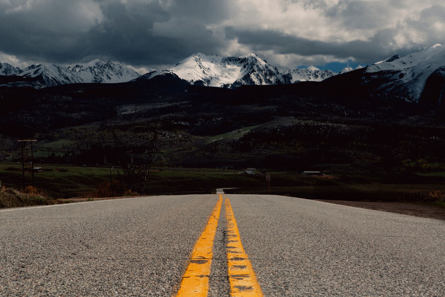
Twenty-five miles west of Salida on US Highway 50, the road climbs to 11,312 feet at Monarch Pass — a crossing of the Continental Divide along the border of Chaffee and Gunnison counties. If you’re heading west from Poncha Market toward Gunnison or Crested Butte, this is the climb waiting for you on the other side of the junction.
Unlike Poncha Pass to the south, which most drivers find fairly routine, Monarch Pass has a reputation. Here’s what to actually expect.
How High Is Monarch Pass?
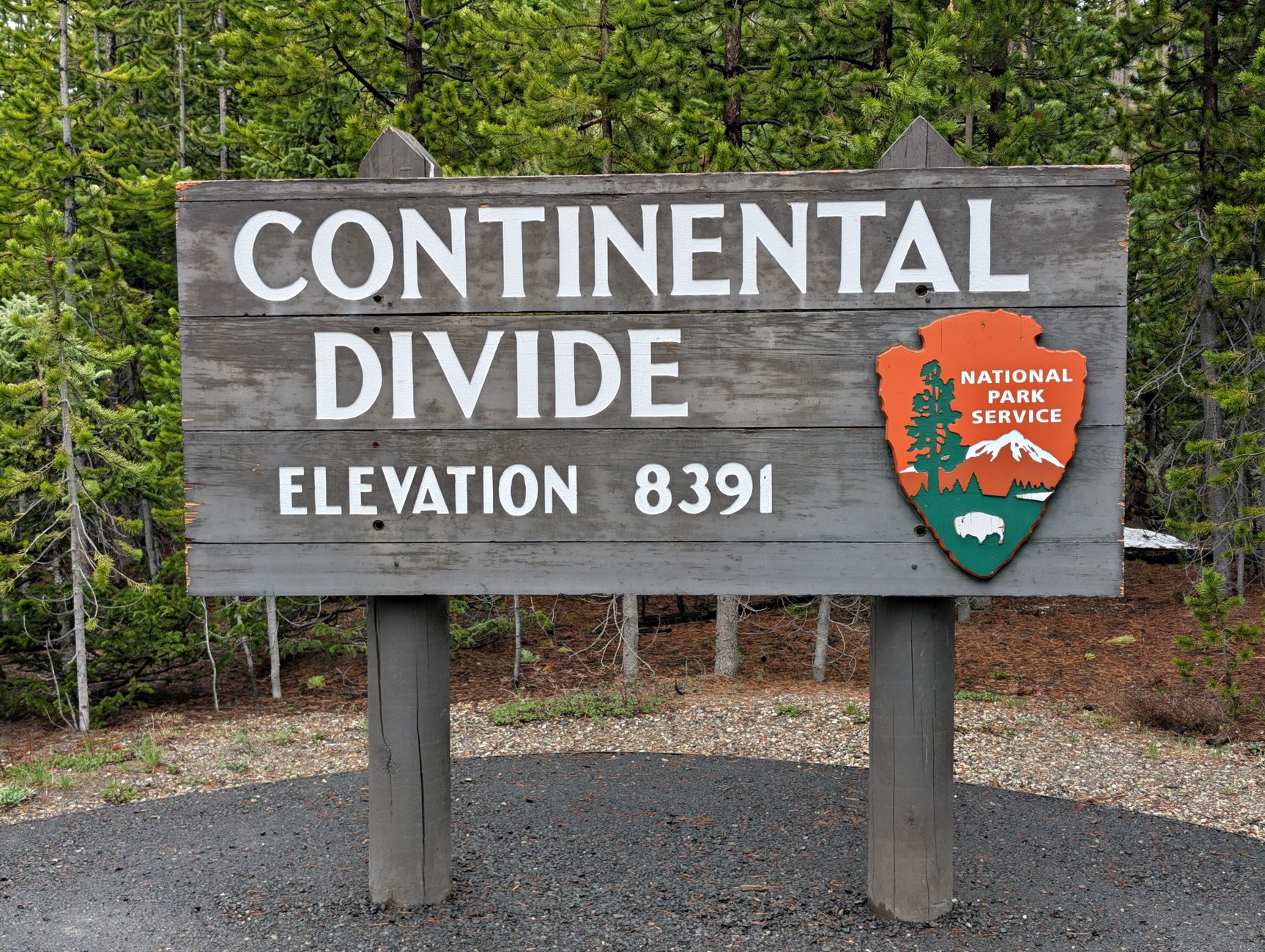
Monarch Pass sits at 11,312 feet, more than 2,000 feet higher than Poncha Pass and roughly 3,800 feet above Poncha Springs itself. It marks the Continental Divide at the southern end of the Sawatch Range, along the border between Chaffee and Gunnison counties, meaning water on the east side of the summit flows toward the Atlantic watershed and water on the west side flows toward the Pacific.
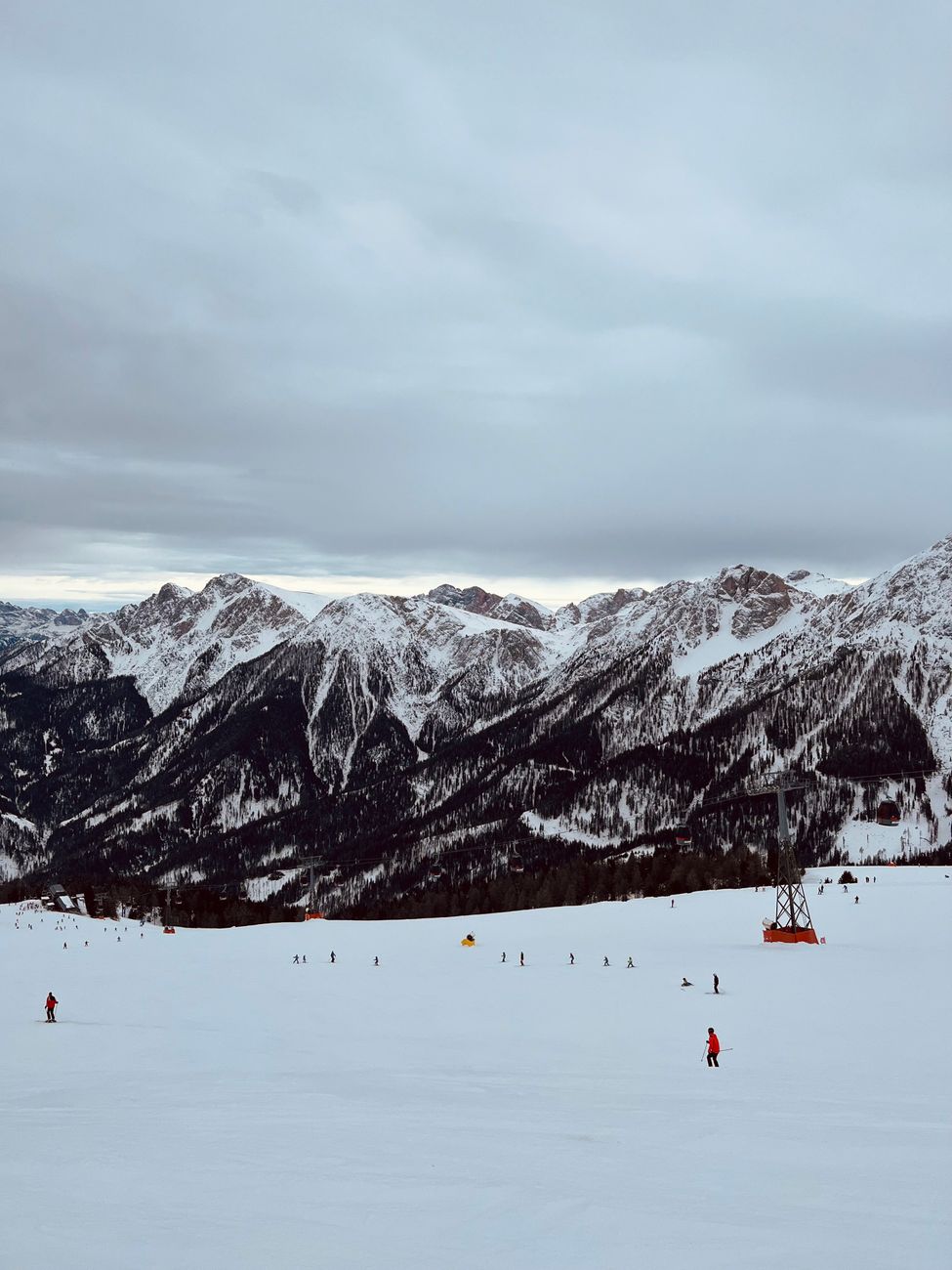
The pass is open year-round, and Monarch Mountain Ski Area sits right at the summit — a genuinely two-season stop, busy with skiers in winter and road-trippers and cyclists in summer.
US-50 has climbed this same general corridor for well over a century, and the modern highway alignment isn’t even the only historic route over this stretch of the Continental Divide — an older wagon-era crossing nearby is still referred to locally as Old Monarch Pass, a reminder that this has been a significant travel corridor long before it carried modern traffic.
Why Monarch Pass Has a Reputation for Winter Driving
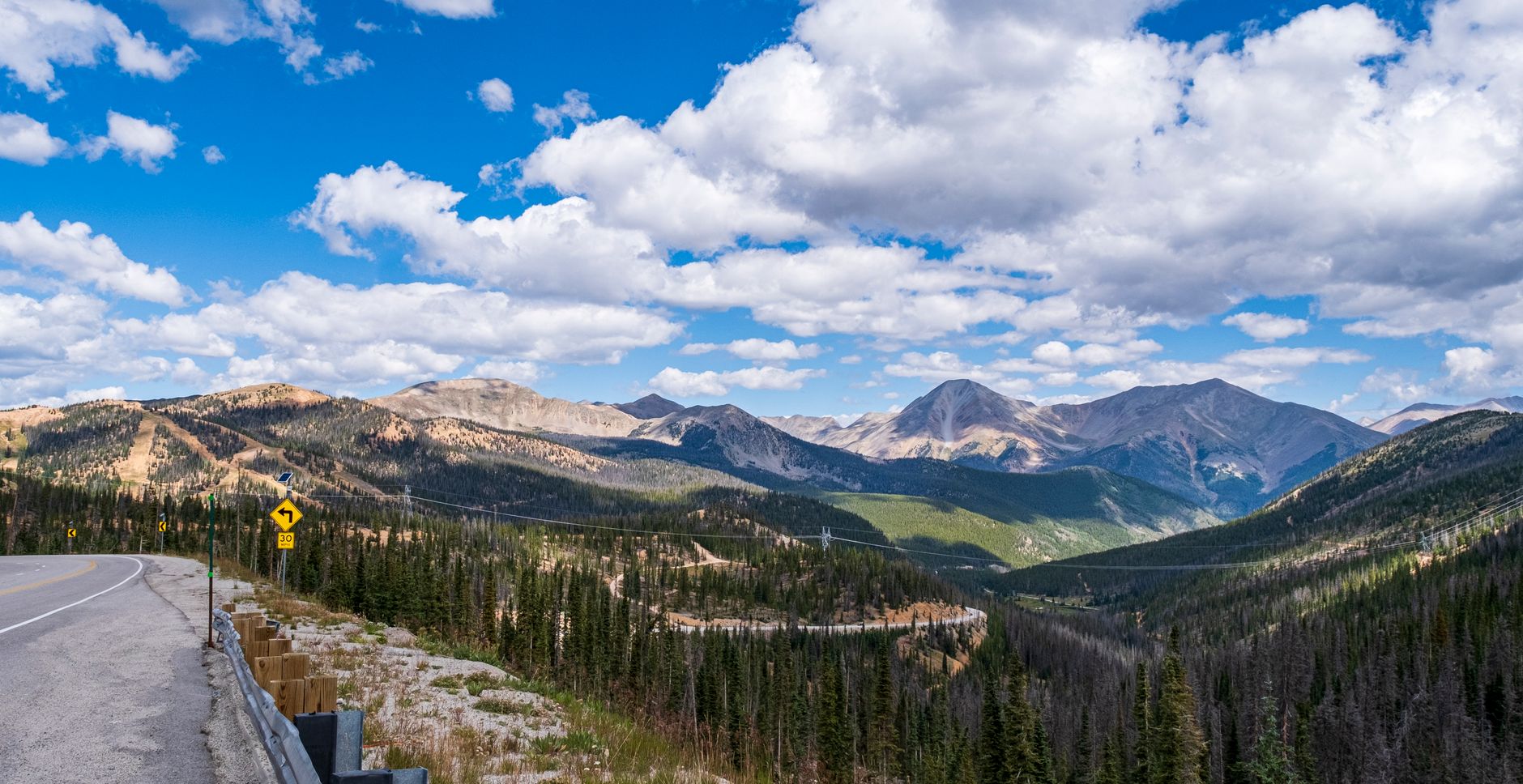
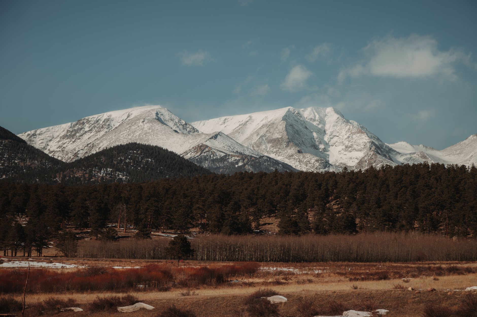
In a survey of roughly 3,000 Colorado drivers, Monarch Pass was named the most feared road to drive in winter in the state. That’s a notable claim, and it’s rooted in a real combination of factors: heavy snowfall at over 11,300 feet, strong winds near the summit, several recognized avalanche areas along the route, and steep grades paired with sharp curves.
- Snow squalls and low visibility can develop quickly near the summit, even when conditions look clear lower down.
- The pass can close temporarily during severe winter storms, unlike Poncha Pass, which stays open through most weather.
- Strong crosswinds are common at the exposed summit area, worth bracing for if you’re driving a high-profile vehicle.
None of this means the pass is impassable — thousands of vehicles cross it safely every winter week. It does mean treating it with more caution than a typical Colorado mountain highway, and checking current conditions before you commit to the climb.
Monarch Pass vs. Poncha Pass: How They Compare
| Monarch Pass (US-50) | Poncha Pass (US-285) | |
|---|---|---|
| Elevation | 11,312 ft | 9,010 ft |
| Winter reputation | Rated Colorado’s most feared winter road in one driver survey | Generally straightforward, open year-round |
| Ski area at summit | Yes — Monarch Mountain | No |
| Closure risk | Can close temporarily in severe storms | Rarely closes |
| Distance from Poncha Market | About 25 miles west via US-50 | About 6 miles south via US-285 |
If your route options include both, Poncha Pass is the more predictable crossing. Monarch Pass rewards the climb with genuinely dramatic Continental Divide scenery, but it deserves more planning, especially from late fall through spring.
Summer on Monarch Pass: A Different Kind of Traffic
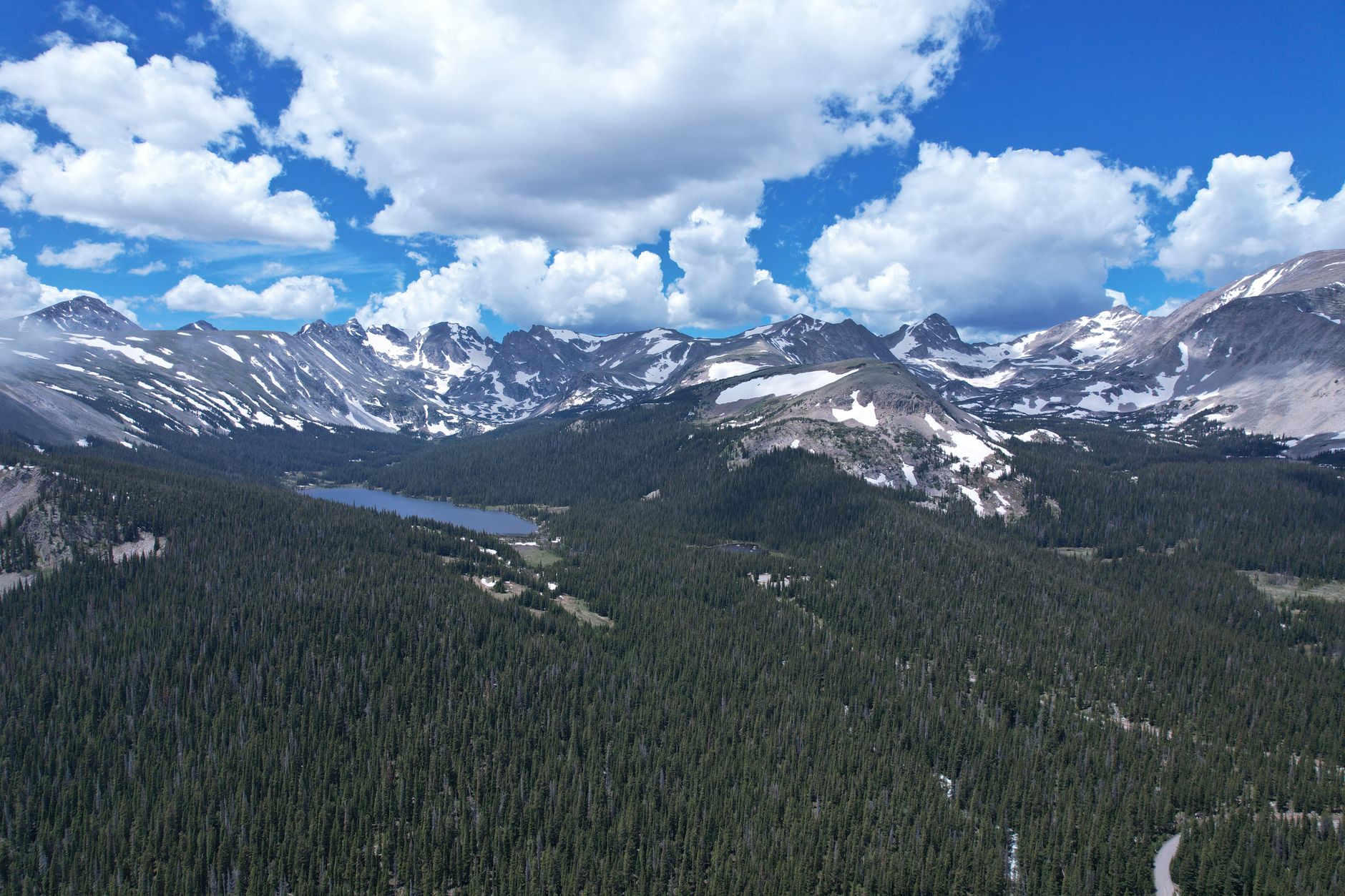
In summer, Monarch Pass sheds its winter reputation almost entirely. The road becomes a popular route for road cyclists tackling one of central Colorado’s classic climbs, and the summit’s gift shop and scenic tramway — which carries visitors up to an overlook near 12,000 feet — draw a steady stream of sightseers who have nothing to do with the ski season at all.
That mix of cyclists, sightseeing traffic, and through-drivers means summer trips over the pass call for a different kind of caution than winter ones: patience passing cyclists on narrow shoulders, and expecting slower-moving RVs and trailers taking the grade carefully rather than aggressively.
The Monarch Crest Scenic Tramway
At the summit, a scenic tramway carries visitors from the 11,312-foot pass up to 12,012 feet on the Continental Divide itself — the oldest working tramway in Colorado, first opened in 1966. On a clear day, the overlook offers views of up to five mountain ranges. The visitor center at the base of the tram has a restaurant, gift shop, and small mining and local-history exhibits, making the summit itself a worthwhile stop rather than just a high point to get past.
This is worth knowing if you’re traveling with anyone who isn’t thrilled about mountain driving: the summit stop gives everyone a reason to get out, stretch, and take in the view, which can turn a nerve-wracking climb into a genuine highlight of the trip.
Tips for Crossing Monarch Pass
- Check current conditions and closures before you leave — the Colorado Avalanche Information Center tracks avalanche danger for this corridor, and it’s worth a look in winter.
- Fuel up and eat at Poncha Market before starting the climb; there’s limited service directly on the pass itself.
- Reduce speed well before the summit if wind or snow is in the forecast, not after you’re already in it.
- If you’re also crossing Poncha Pass the same day, treat them as two separate decisions — conditions on one don’t guarantee the same on the other.
- In summer, watch for cyclists; Monarch Pass is a popular, demanding climb for road cyclists and the shoulder can be narrow near the summit.
- If you’re towing a trailer or driving an RV, plan for a slower ascent and use a lower gear on the descent rather than riding the brakes the whole way down.
None of these precautions are unique to Monarch Pass — they’re standard mountain-driving practice in Colorado generally. What sets this pass apart is simply how consistently its combination of elevation, wind, and grade shows up in winter driving surveys and local reporting, which is reason enough to take the standard precautions seriously here rather than treating them as optional.
Frequently Asked Questions
How high is Monarch Pass?
11,312 feet, at the Continental Divide on US Highway 50, about 25 miles west of Salida.
Is Monarch Pass dangerous in winter?
It has a strong reputation for difficult winter driving, including a survey ranking it Colorado’s most feared winter road. It stays passable most of the time but can close temporarily in severe storms.
Is there a ski resort on Monarch Pass?
Yes — Monarch Mountain Ski Area sits directly at the summit.
What’s the last stop for gas before Monarch Pass?
Poncha Market, about 25 miles east at the US-50/US-285 junction in Poncha Springs, is the last fuel and food stop heading west.
Is Monarch Pass open year-round?
Yes, though it can close temporarily during severe winter storms, unlike some lower-elevation routes in the area.
Can you visit Monarch Pass without skiing?
Yes — the summit has a gift shop and a scenic tramway to a nearby overlook, popular with sightseers and road-trippers year-round, not just winter ski traffic.
Which is easier: Monarch Pass or Poncha Pass?
Poncha Pass is generally considered the more straightforward crossing of the two, with a lower elevation and less severe winter reputation.
How do I check current conditions before crossing Monarch Pass?
The Colorado Department of Transportation and the Colorado Avalanche Information Center both publish current road and avalanche conditions for this corridor, and checking either before a winter crossing is a reasonable habit rather than an overreaction.
Heading west toward Gunnison? Fuel up at Poncha Market first, or check our Poncha Pass driving guide if you’re headed south instead.
For current avalanche and winter travel advisories in this corridor, see the Colorado Avalanche Information Center.
Leave a Reply