6250 US Hwy 285, Poncha Springs, CO 81242

Open Daily · Summer 7:30AM–8PM

(719) 539-6089

Facebook Instagram

Category: Colorado Travel Guides

Road trip planning, mountain passes, outdoor recreation, and Tesla/EV travel guides for the Poncha Springs, Colorado area.

  • EV vs. Gas Road Trip Cost Comparison: Denver to Poncha Springs, Colorado

    EV vs. Gas Road Trip Cost Comparison: Denver to Poncha Springs, Colorado

    Whether an EV or a gas vehicle is cheaper to drive through central Colorado depends on more than the sticker price of electricity versus gasoline. Between free-to-use Supercharging economics at Poncha Market and the real fuel costs of mountain driving, the comparison is more nuanced than it first appears.

    This guide breaks down the actual cost factors for both, using the Denver-to-Poncha-Springs corridor already covered in our Tesla road trip guide as the reference route.

    Rather than citing a single national average cost-per-mile figure, which fluctuates constantly and varies by vehicle, this guide focuses on the structural cost differences that matter specifically for a mountain road trip like this one — the factors that shift the comparison regardless of the exact prices on any given day.

    The Basic Cost Comparison

    Electricity is generally cheaper per mile than gasoline, and that advantage typically holds even accounting for Supercharger pricing, which is usually somewhat higher than charging at home. Over a roughly 145-mile drive from Denver to Poncha Springs, the electricity cost for topping off at a Supercharger is generally lower than the equivalent amount of gasoline for a comparable vehicle, though the exact gap depends on current electricity and gas prices, which both fluctuate.

    Gas vehicles have their own cost advantage in a different area: refueling takes minutes rather than the 20 to 30 minutes typical of a Supercharging stop, which has a real, if harder to quantify, time value on a longer trip.

    Vehicle purchase price and financing terms also factor into any honest comparison, though those costs are spread across years of ownership rather than a single trip, and vary enormously by specific make and model — too broad a topic to reduce to a simple per-mile number for this particular route.
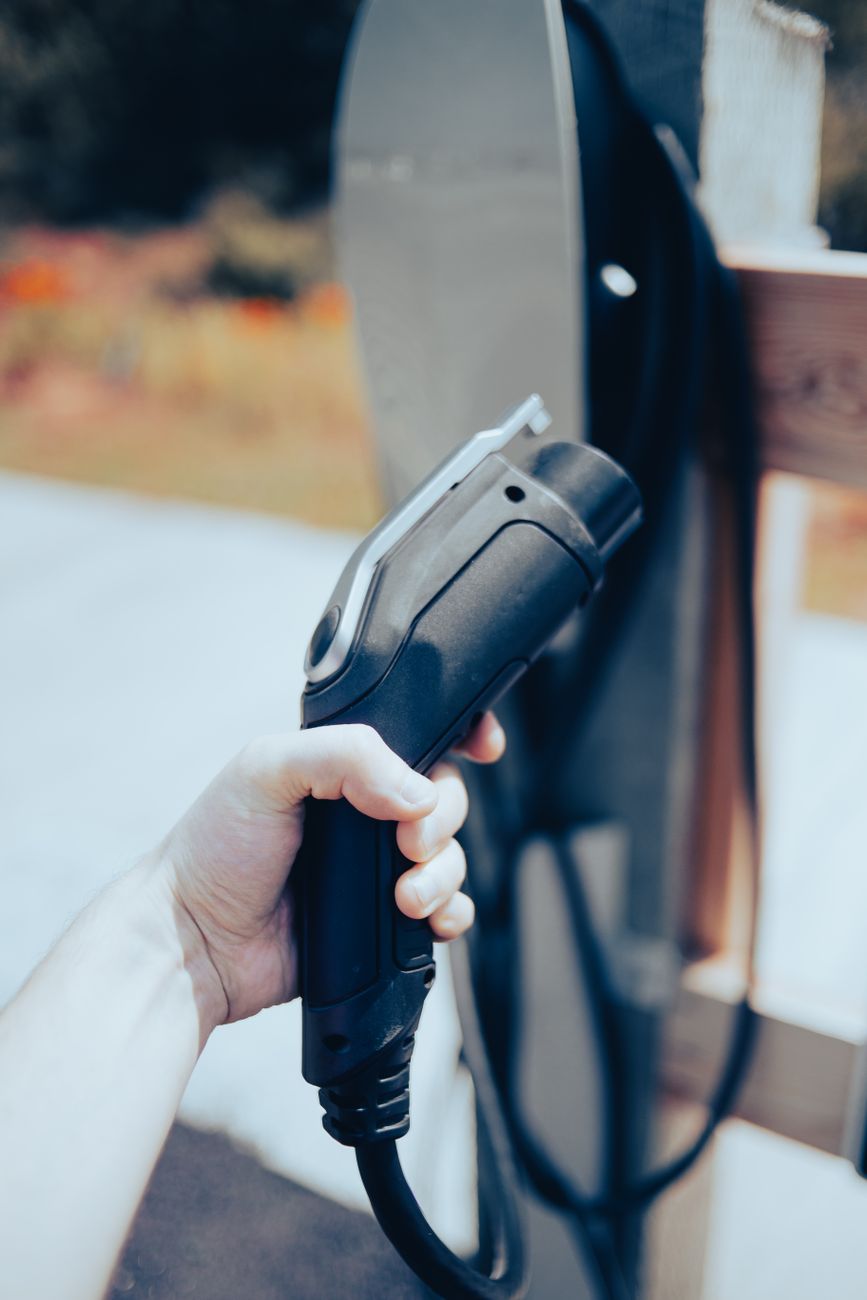
    Close-up of a hand holding an EV charging cable outdoors

    Mountain Driving Changes Both Calculations

    Elevation gain affects both vehicle types, just differently. Gas engines lose roughly 3% of power per 1,000 feet of elevation, which can modestly reduce fuel efficiency on sustained climbs like Poncha Pass or Monarch Pass. EVs lose range from both elevation gain and cold temperatures, sometimes more noticeably than gas vehicles lose fuel efficiency, particularly in winter.

    Regenerative braking on the descent partially offsets an EV’s climbing losses in a way gas vehicles simply can’t replicate — recovering some energy on the way back down a pass like Poncha Pass or Monarch Pass, rather than losing it entirely to friction braking the way a traditional vehicle does.

    This means a round trip that includes a significant climb and descent, like driving over either pass and back, tends to favor EVs more than a purely one-way mileage comparison would suggest — the energy recovered on the way down partially cancels out the extra energy spent on the way up.

    Gas vehicles don’t have an equivalent mechanism to recapture energy on a descent, which is one of the more consistent structural advantages EVs carry specifically on mountain routes with real elevation change, regardless of how current fuel and electricity prices happen to compare.

    None of this settles the debate definitively in either direction — it simply means a fair cost comparison for this specific corridor has to account for elevation change and regenerative braking, not just a flat per-mile number pulled from a general national average that assumes level ground.

    For most travelers, the honest takeaway is that the choice between an EV and a gas vehicle for this specific trip should come down to which vehicle you already own or prefer, not a marginal cost difference that’s unlikely to be dramatic in either direction over a single road trip.
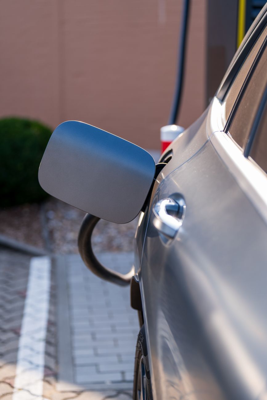
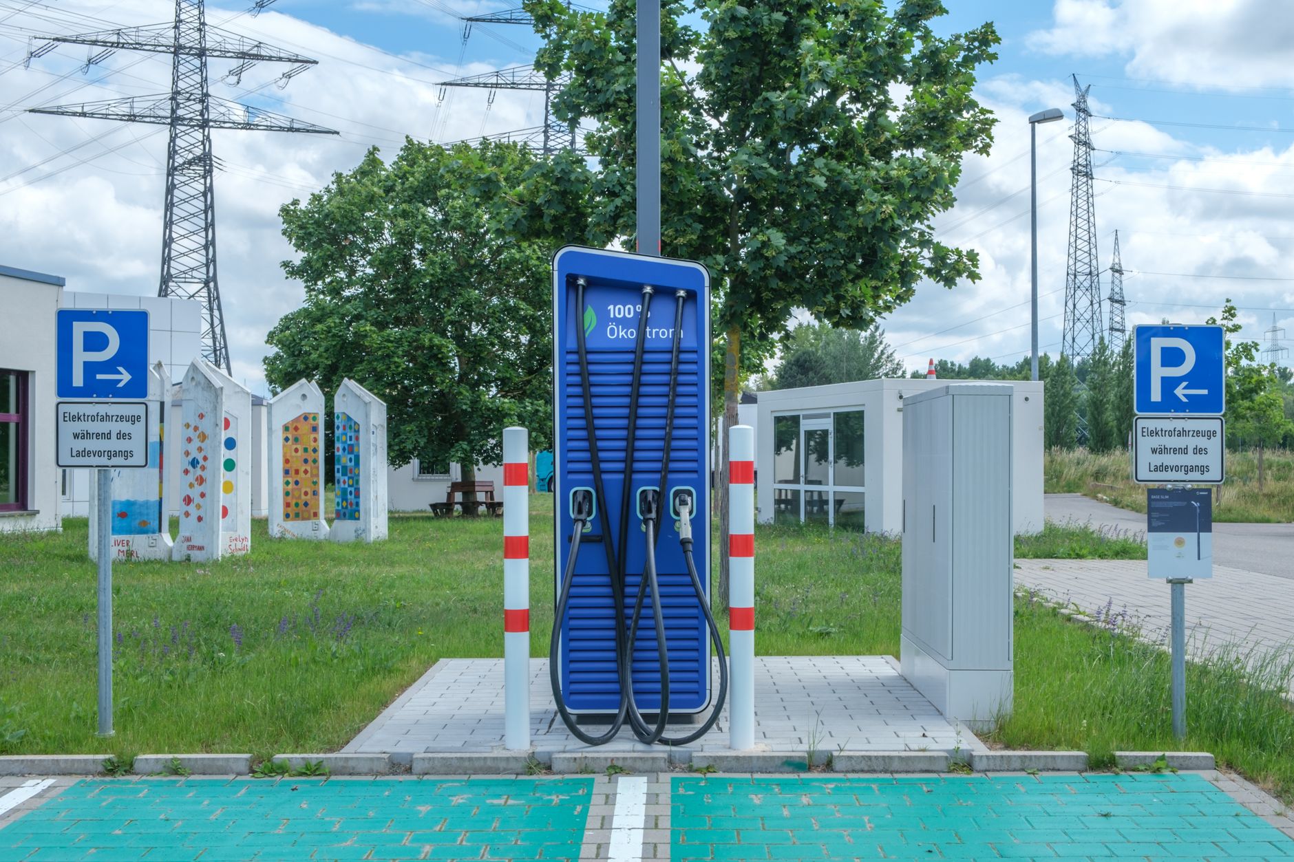
    Close-up of an electric car being charged at a charging station

    The Hidden Cost Categories

    Cost FactorGas VehicleElectric Vehicle
    Fuel/energy per mileHigher, fluctuates with gas pricesGenerally lower, fluctuates with electricity rates
    Refueling time5–10 minutes20–30 minutes typical at a Supercharger
    Winter range/efficiency lossModest efficiency reductionCan be more significant, especially cold-soaked batteries
    Maintenance over timeRegular oil changes, more moving partsGenerally lower routine maintenance
    Close-up of a hand holding a green fuel nozzle at a gas pump station

    Time Cost vs. Money Cost

    A gas vehicle’s real advantage on this specific route is speed of refueling, not necessarily total cost. An EV’s charging stop at Poncha Market, though, isn’t purely dead time the way sitting at a gas pump is — it doubles as a meal break at Mabel’s Deli, which a gas vehicle driver would likely take anyway on a multi-hour drive, just as a separate stop.
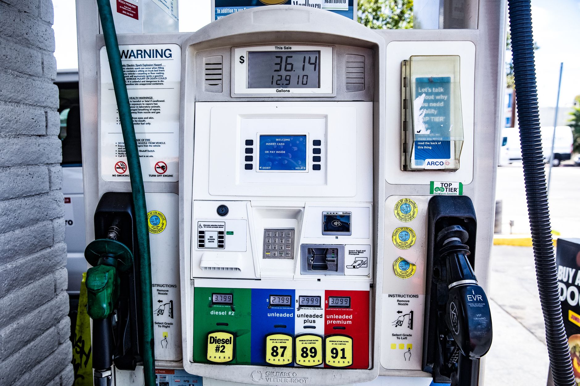
    Close-up of a fuel pump showing gasoline and diesel options at a gas station

    Framed that way, the “extra” charging time on this particular route is partly an illusion — much of it overlaps with a stop most drivers would make regardless of what they’re driving.

    What Actually Matters for This Route

    • For a single Denver-to-Poncha-Springs trip, the cost difference between EV and gas is unlikely to be dramatic either way — the bigger factor is usually total vehicle ownership cost over time, not one road trip.
    • Winter travelers should expect EV range to take a bigger relative hit than gas vehicle fuel efficiency, which affects planning more than raw cost.
    • Frequent road trippers on this corridor may find the reliable, free-standing Supercharger station a genuine convenience advantage regardless of the exact cost math.

    Close-up shot of colorful gas pump nozzles at a fuel station

    Frequently Asked Questions

    Is it cheaper to drive an EV or gas car to Poncha Springs from Denver?

    Generally, electricity costs less per mile than gasoline, though the gap varies with current fuel and electricity prices, and gas refueling is faster.

    Does elevation affect EV range?

    Yes — both elevation gain and cold temperatures can reduce EV range, sometimes more noticeably than the modest fuel efficiency loss gas engines see at altitude.

    How long does Supercharging take at Poncha Market?

    Typically 20 to 30 minutes for a substantial charge, roughly the length of a meal at Mabel’s Deli.

    Do EVs cost less to maintain than gas vehicles?

    Generally yes, over time, due to fewer moving parts and less routine maintenance like oil changes, though this matters more over years of ownership than a single trip.

    Is charging time really “lost” time on this route?

    Partly not — since the Supercharger sits inside the same building as a real deli, much of that time overlaps with a meal stop a gas vehicle driver would likely take anyway.

    Does vehicle purchase price factor into this comparison?

    Yes, but it’s spread across years of ownership rather than a single trip, and varies too much by specific make and model to reduce to a simple per-mile figure here.

    Which vehicle type is better for this specific route overall?

    Neither has a dramatic advantage for a single trip; the bigger factors are personal preference, total ownership costs over time, and how much you value the convenience of the on-site Supercharger versus faster gas refueling.

    Planning your route? See our Denver-to-Poncha-Springs Tesla route guide for the full drive breakdown.

    For official fuel economy and cost comparison data, see FuelEconomy.gov.
  • Marshall Pass, Colorado: History, Railroad Heritage, and the Scenic Backcountry Road

    Marshall Pass, Colorado: History, Railroad Heritage, and the Scenic Backcountry Road

    Unlike Poncha Pass and Monarch Pass, both paved highway crossings, Marshall Pass is a graded gravel road that begins just south of Poncha Market in Poncha Springs — and it comes with one of the more interesting histories of any route in the region.
    This guide covers where it goes, why it’s shaped the way it is, and what it’s actually like to drive today.

    Few backcountry roads anywhere in the country carry this direct a connection to a specific historical milestone — the first crossing of the Continental Divide by rail in Colorado — while still being an active, drivable route more than a century later.

    From Toll Road to Railroad

    Otto Mears, a prolific 19th-century Colorado road builder, cut a toll road across Marshall Pass in 1878, connecting his existing Poncha Pass toll road to the mining areas of Gunnison County to the west. That same year, Mears sold the Marshall Pass toll road to the Denver and Rio Grande Railroad for $40,000, and the stage road became a railroad grade instead.

    Completed in 1881 as part of the Denver and Rio Grande, the line across Marshall Pass became the first railroad route to cross the Continental Divide in Colorado — a genuinely significant engineering milestone, not just a regional curiosity. Between 1879 and 1890, it was the only rail line connecting Denver to Salt Lake City and, by extension, the Pacific Coast.

    For roughly a decade, essentially all rail freight and passenger traffic between Colorado and Utah moved over this single mountain crossing — a striking amount of significance for a route that today is a quiet gravel road most travelers have never heard of.

    That gap between historical importance and modern obscurity is common throughout the American West, where 19th-century transportation corridors were frequently superseded by later highway routes chosen for different reasons — Marshall Pass just happens to be a particularly well-documented example of the pattern.

    Driving it today with that history in mind changes the experience meaningfully. What could otherwise read as just another scenic gravel road becomes a tangible piece of the same transportation story that shaped why Poncha Springs exists as a junction town in the first place.

    Combining a Marshall Pass drive with a stop at Chaffee County’s broader mining history gives a genuinely fuller picture of how transportation, mining, and settlement patterns all reinforced each other in this specific part of Colorado during the late 1800s.

    Whether you drive the full 30-mile length or simply venture a few miles in from the Poncha Springs side and turn around, Marshall Pass offers a different way to experience this part of Colorado than the paved highways most travelers stick to exclusively.

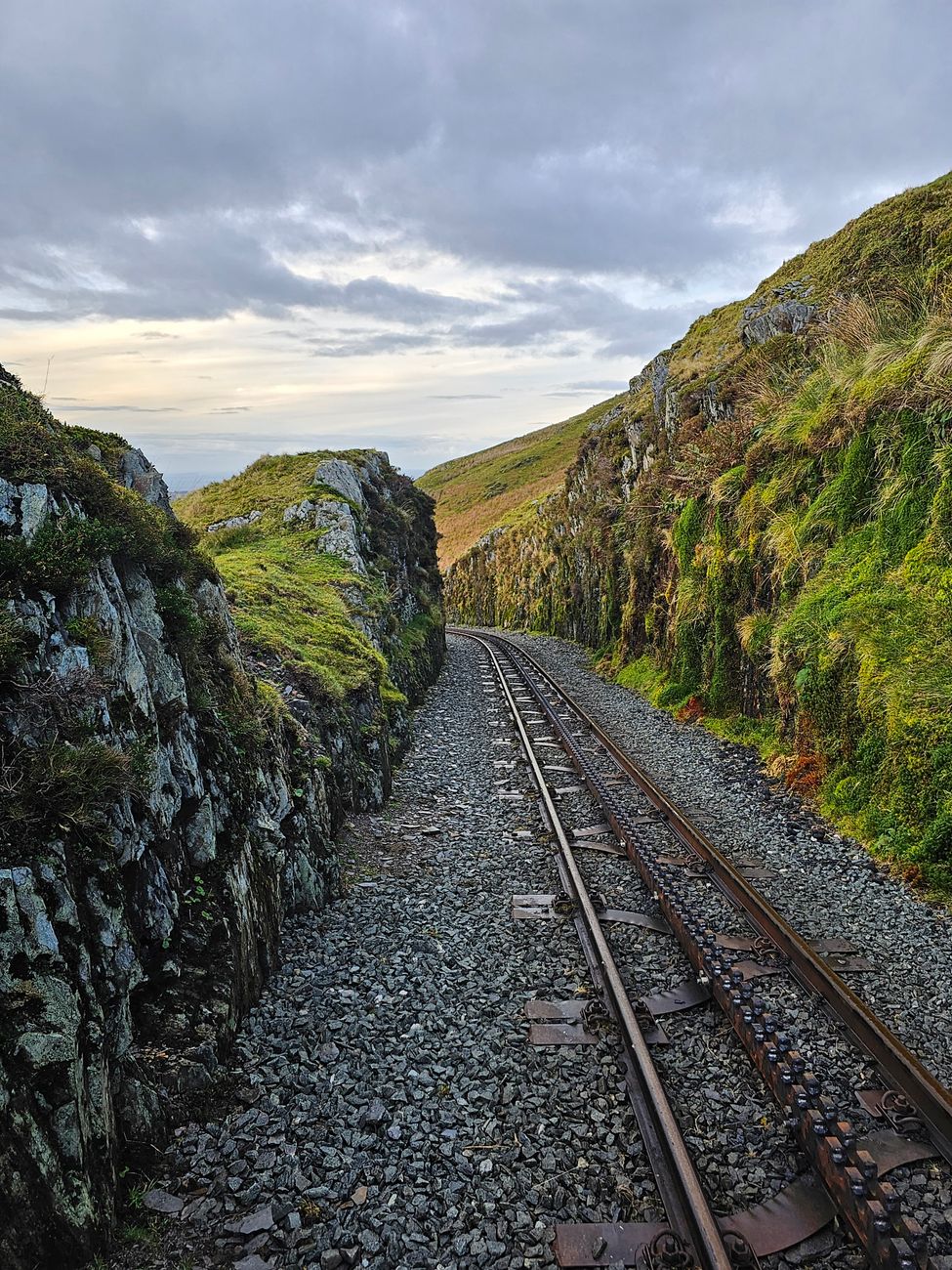
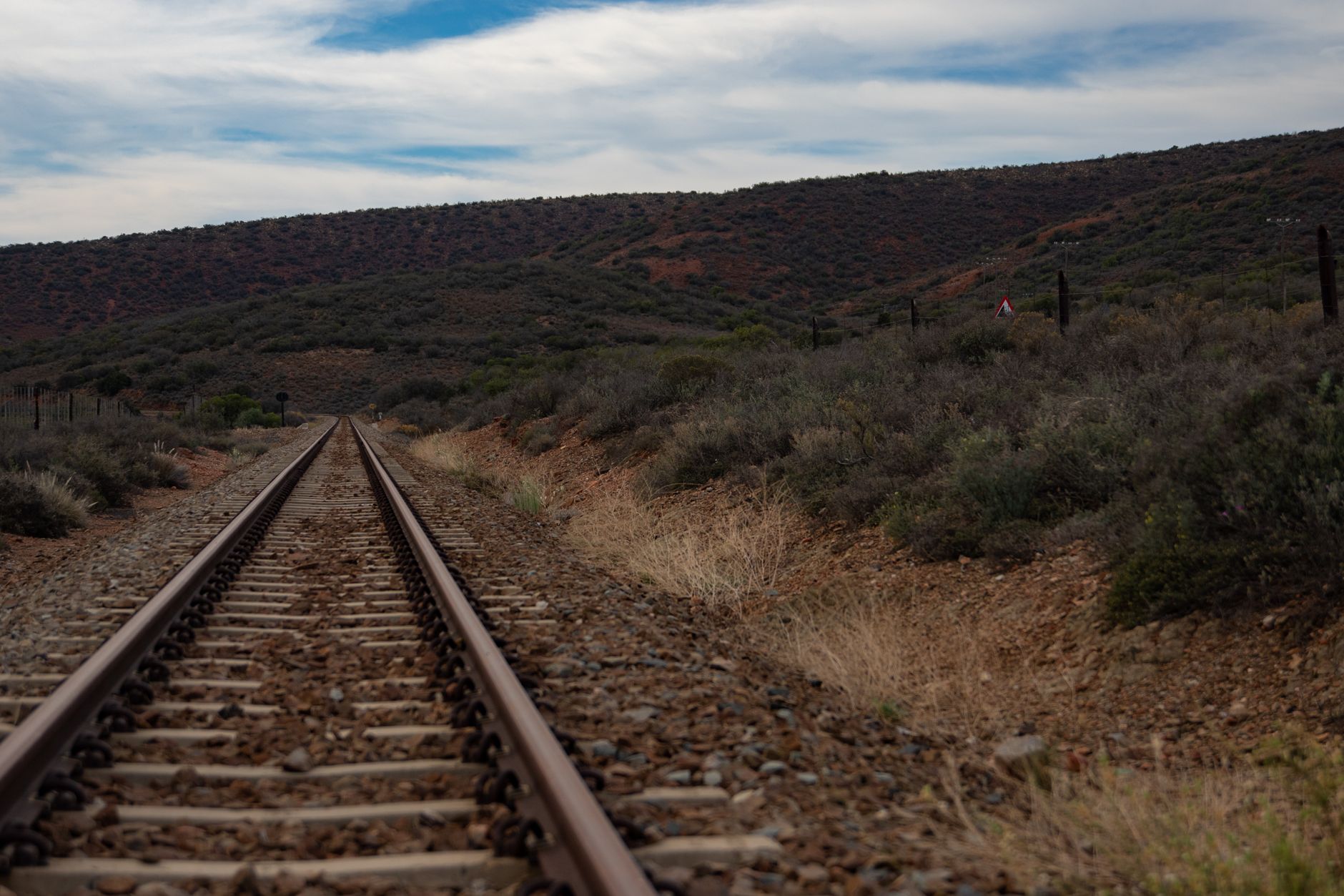
    A picturesque railway track winding through rugged rocky hillsides

    The End of the Line

    The narrow-gauge railway operated heavily for decades before finally shutting down in 1955, as changing transportation patterns and the rise of highway travel made the mountain rail route increasingly redundant. What’s left today is the graded roadbed the trains once ran on, repurposed as a scenic backcountry road.

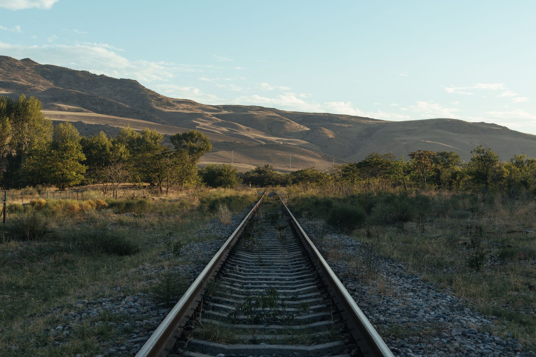
    View of an abandoned railway track leading through scenic mountain terrain

    Driving Marshall Pass Today

    The modern Marshall Pass Road runs about 30 miles, accessible from Sargents off US-50 on the west side, or from south of Poncha Springs along US-285 on the east side. Because the gravel road follows the original railroad grade, it isn’t excessively steep despite crossing a genuine mountain pass — most standard passenger cars can traverse it in good conditions, though rough patches do exist along the way.

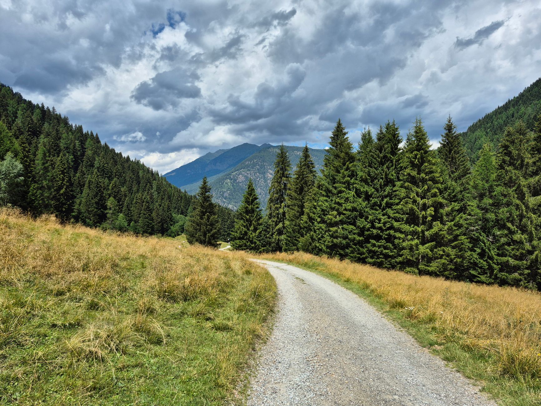
    A gravel path winding through lush pine forests and mountains

    Why the Grade Matters for Drivers

    A road built to accommodate a steam locomotive can’t have the steep grades a highway engineer might otherwise choose — trains simply can’t climb what cars can. That constraint, dictated by 19th-century railroad engineering rather than modern road design, is exactly why Marshall Pass Road remains manageable for standard vehicles despite crossing a genuine Continental Divide pass.

    It’s a neat, if accidental, benefit of the route’s origin story: a road designed around the physical limitations of 1880s steam locomotives happens to translate into a gentler, more approachable drive for modern vehicles more than a century later.

    A curving gravel path through a serene forest with mountains under clouds

    A Ghost Story Attached to the Pass

    Local history includes stories of a “ghost train” said to be heard along Marshall Pass on certain nights — folklore tied directly to the pass’s railroad history, and a reminder of just how much of this route’s character comes from an era of trains rather than cars.

    Whether or not you put any stock in the ghost story itself, it’s a genuinely fitting piece of folklore for a road that so directly traces a decommissioned rail line — the kind of detail that makes a drive here feel different from any other gravel backcountry road nearby.

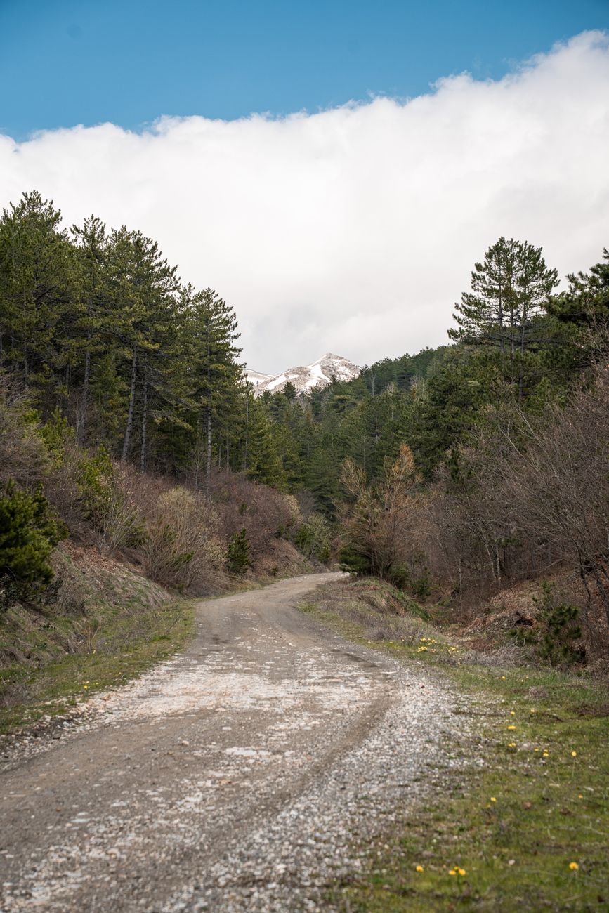
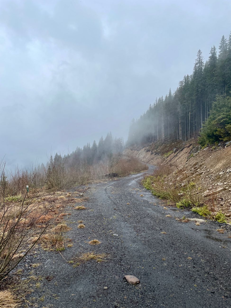
    A misty mountain road winding through fog and dense coniferous forest

    Before You Drive It

    • Fuel up at Poncha Market before starting — there’s no service directly on the pass.
    • The road follows a former railroad grade, so grades are moderate, but rough patches and washboarding can still occur; a vehicle in good condition matters more than four-wheel drive for most of the route in dry conditions.
    • Cell service is inconsistent in this remote stretch; let someone know your route if you’re driving it solo.
    • The road accesses O’Haver Lake Campground, the closest developed campground to Poncha Springs, a couple of miles in from the Poncha Springs side.

    Frequently Asked Questions

    Is Marshall Pass paved?

    No — it’s a graded gravel road, though most passenger cars can traverse it in good conditions since it follows a former railroad grade rather than a steep highway alignment.

    How long is Marshall Pass Road?

    About 30 miles, connecting Sargents on US-50 to south of Poncha Springs on US-285.

    Was Marshall Pass really a railroad?

    Yes — a narrow-gauge Denver and Rio Grande Railroad line crossed it starting in 1881, making it the first railroad to cross the Continental Divide in Colorado, before shutting down in 1955.

    Does Marshall Pass Road access any campgrounds?

    Yes — O’Haver Lake Campground, the closest developed campground to Poncha Springs, sits just off the Marshall Pass Road.

    Who built the original Marshall Pass toll road?

    Otto Mears, a prolific 19th-century Colorado toll road builder, in 1878, before selling it to the Denver and Rio Grande Railroad the same year.

    How long was Marshall Pass the only rail route to Utah?

    Roughly a decade, between 1879 and 1890, before other routes were completed.

    Is Marshall Pass Road suitable for a standard car?

    In good conditions, most standard passenger vehicles can traverse it, since the road follows a former railroad grade with moderate slopes, though rough patches exist.

    Heading out on Marshall Pass? Fuel up at Poncha Market first, or check our camping guide for O’Haver Lake details.

    For detailed railroad history on this route, see DRGW.net’s Marshall Pass history.

  • FIBArk Whitewater Festival Guide: Salida’s Signature Summer Event

    FIBArk Whitewater Festival Guide: Salida’s Signature Summer Event

    Every June, the town of Salida — about ten minutes north of Poncha Market in Poncha Springs — hosts FIBArk, America’s oldest whitewater festival. If your trip through central Colorado happens to line up with it, it’s worth planning around rather than missing by accident.

    “FIBArk” stands for “First In Boating the Arkansas,” and the name captures the event’s origins better than most festival names do — this genuinely was one of the first organized whitewater races on the river.

    Few American festivals can claim a continuous history stretching back to 1949, and fewer still trace their origins to something as informal as a bet between friends. That combination of genuine longevity and an almost accidental founding story is part of what gives FIBArk its distinct character among Colorado’s summer festivals.

    How FIBArk Started

    The festival traces back to 1949, when a bet between two friends over who’d win a race from Salida to Cañon City on the Arkansas River nearly killed both racers on the treacherous 57-mile run through the Royal Gorge Canyon. The first official race, on June 19, 1949, had six boats entered, and the distance was shortened in subsequent years to a more manageable 26 miles of whitewater after that near-disaster.

    From those modest, almost accidental beginnings with just 23 competitors, FIBArk grew into a genuine community-wide festival showcasing more than a hundred competitors annually, alongside live music, foot and bike races, and a parade — while still holding onto the whitewater boat racing that started it all.

    That growth reflects the same broader shift that’s happened to whitewater sports generally over the decades — from a fringe activity for a handful of daredevils to a mainstream recreational and competitive pursuit with real infrastructure, guide services, and dedicated events built around it.

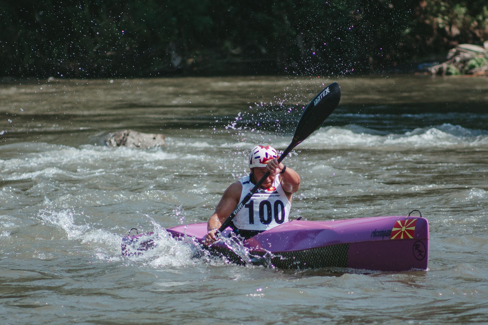
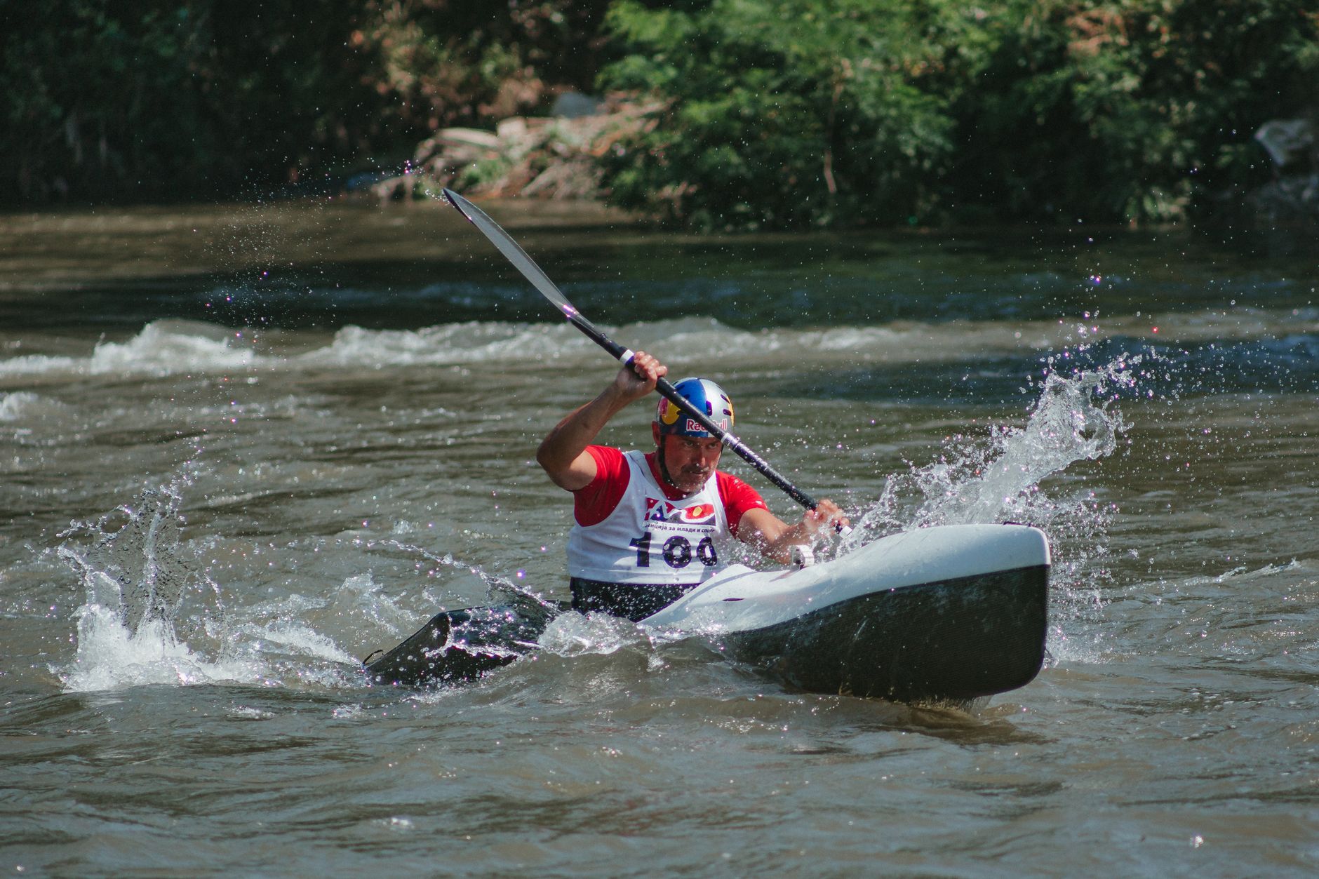
    A man kayaking through river rapids with splashing water

    What Happens During FIBArk Weekend

    The modern festival, typically held over four days in mid-to-late June, includes a wide mix of land and water events: rafting, kayaking, mountain biking, and running, alongside the community celebration elements that have built up around the original boat race over the decades.

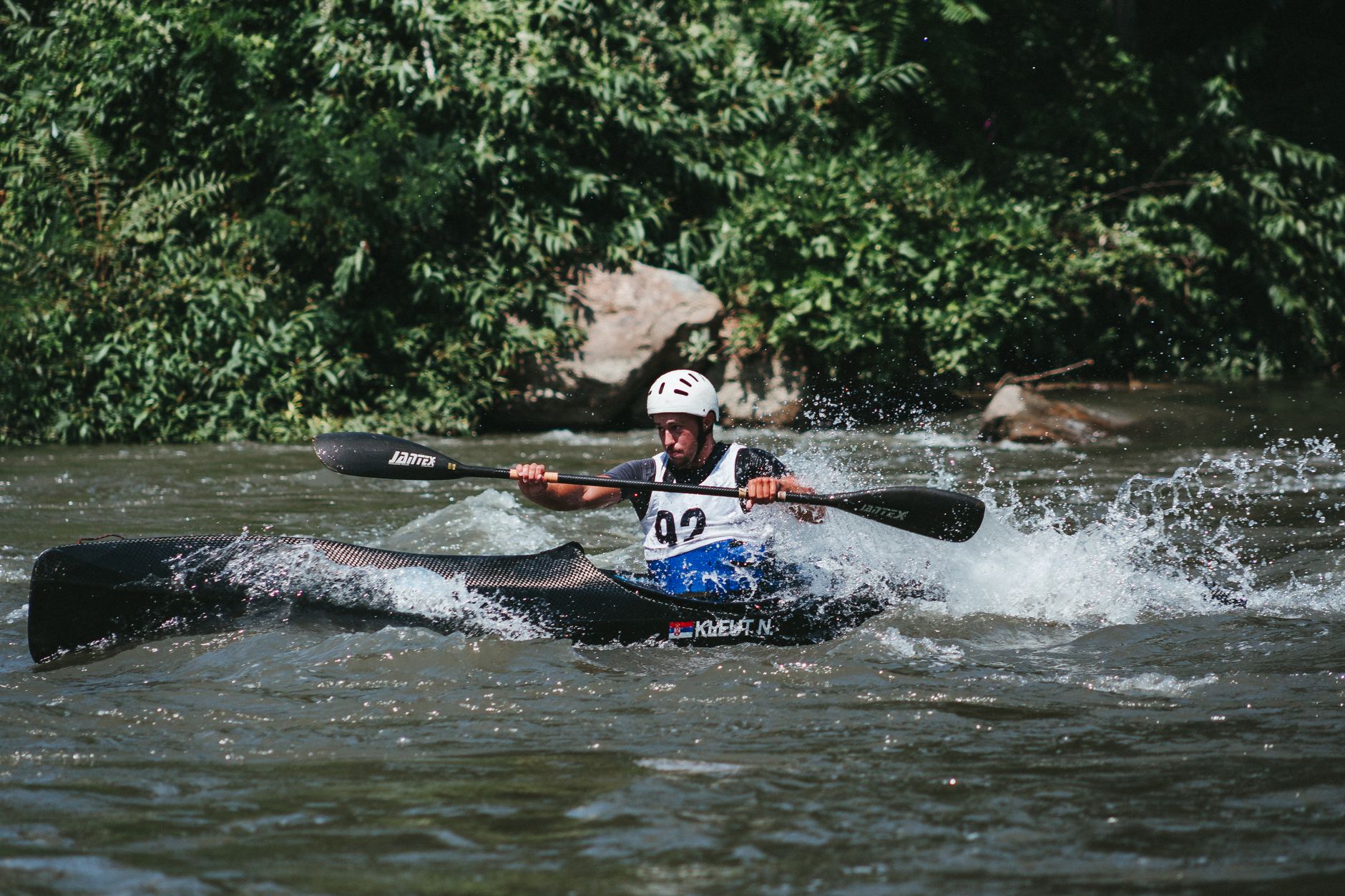
    A man skillfully navigating a kayak through river rapids amid lush greenery

    Where to Watch

    Salida’s downtown riverwalk and the Arkansas River corridor through town give visitors a front-row view of much of the racing action without needing any special access or tickets — part of what makes FIBArk feel like a genuine community event rather than a ticketed spectator sport.

    Arriving early for a good vantage point along the river is worth it during the busiest race events, since prime riverside viewing spots fill in quickly once the crowds build for the marquee races of the weekend.

    Beyond the riverwalk itself, downtown streets closed for the parade and land-based events offer additional vantage points without needing to compete for river-adjacent real estate — worth keeping in mind if you arrive later in the day and the best waterfront spots are already taken.

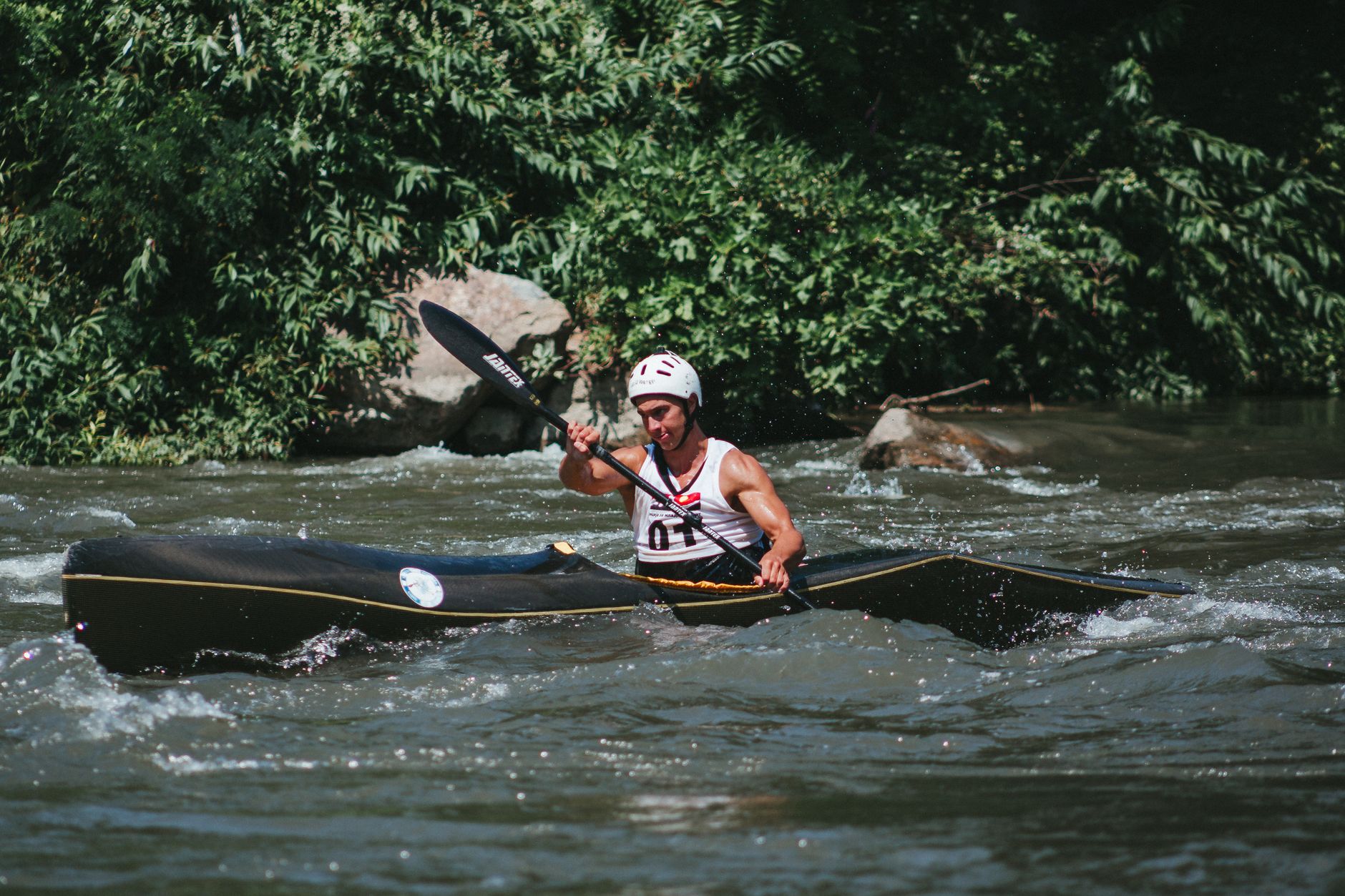
    An intense moment of a canoe race with a sportsman navigating rapids

    Planning a Visit During FIBArk

    • Expect Salida’s downtown and lodging to be considerably busier than a typical summer weekend; book accommodations well in advance if you’re planning to stay overnight.
    • Traffic and parking in downtown Salida will be tighter than usual; arriving early or parking a short walk away is a reasonable expectation.
    • Poncha Market, just outside the festival crowds, remains a straightforward fuel and food stop even during the busiest festival weekend.
    • If you’re not specifically there for the festival, a quick pass through Salida during FIBArk weekend is still worth the detour just to see the atmosphere, even without watching a full race.
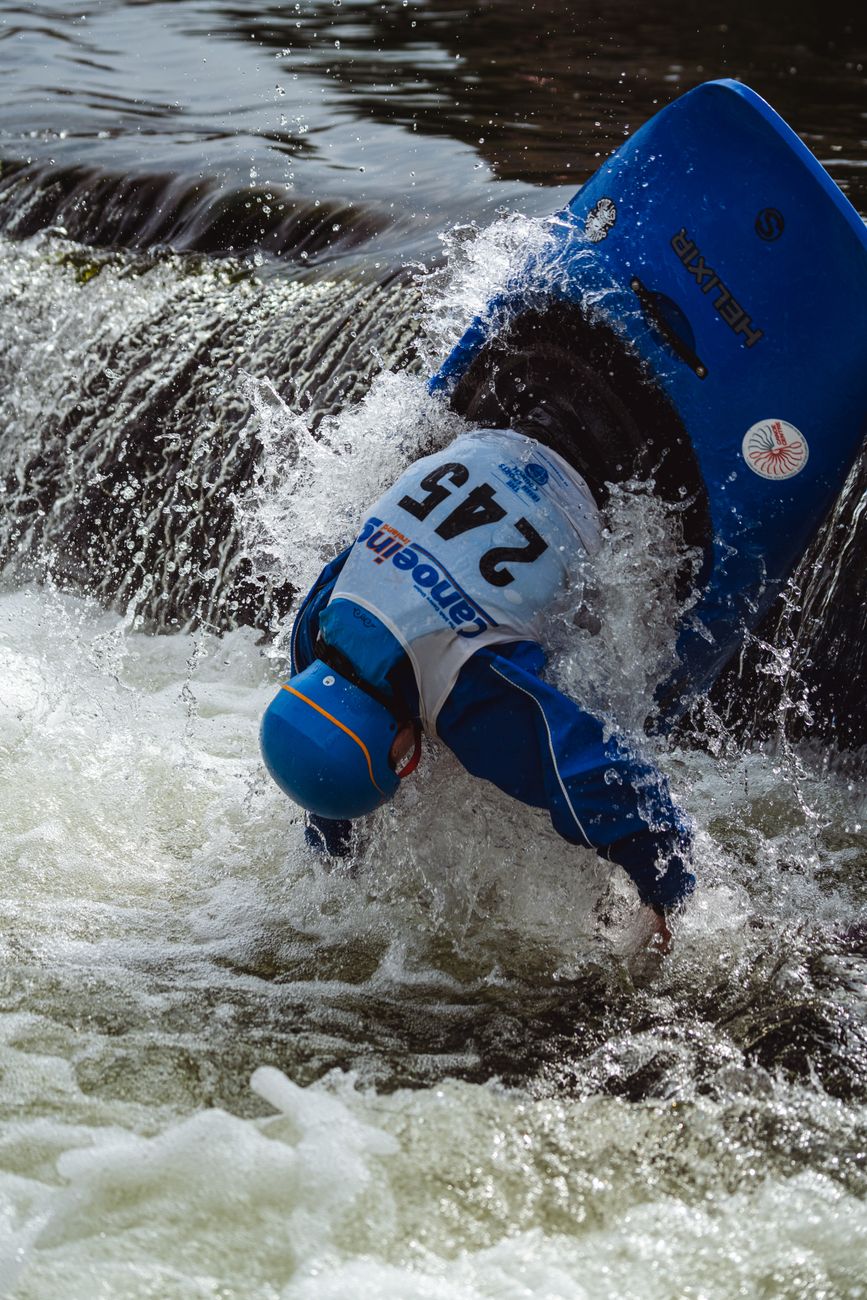
    The thrill of kayaking captured in an intense whitewater rapids scene

    A Century-Adjacent Tradition

    Few American whitewater events have run continuously since 1949, and that longevity is part of what makes FIBArk a genuine point of local pride rather than a manufactured tourist attraction. It’s grown considerably from its near-fatal betting-race origins, but the core identity — racing the Arkansas River — has never changed.

    That continuity matters for visitors too. Unlike a newer event still figuring out its identity, FIBArk has decades of established logistics, community buy-in, and local infrastructure behind it, which generally translates into a smoother, better-organized visitor experience than a younger festival might offer.

    Local businesses throughout Salida, including restaurants and the downtown Creative District covered in our Salida town guide, generally plan their own busiest weekend of the summer around FIBArk, which is worth knowing if you’re hoping to combine festival viewing with unhurried gallery browsing on the same visit.

    If gallery browsing at a relaxed pace is your priority, a First Friday visit during a quieter month may actually serve that goal better than FIBArk weekend, when the same streets are considerably busier and browsing feels more rushed.

    Whichever way you approach it, FIBArk weekend and a quiet First Friday represent two genuinely different versions of the same town, and knowing which one you’re walking into helps set realistic expectations before you arrive.

    For travelers who can only make one trip through this corridor per year, timing it around FIBArk turns an already worthwhile stop into something considerably more memorable — a genuine regional event rather than just a scenic pass-through, and one of the more compelling reasons to plan a summer visit around a specific date rather than whenever happens to fit the schedule.

    Even a brief stop at Poncha Market on your way into festival weekend is worth building into the plan — a calm, quiet fuel and food stop before diving into a considerably busier Salida is a reasonable way to bookend a festival-weekend visit.

    Given how long FIBArk has run continuously, checking the current year’s exact dates and event schedule before you finalize travel plans is worth doing rather than assuming the festival always falls on the exact same weekend every year.

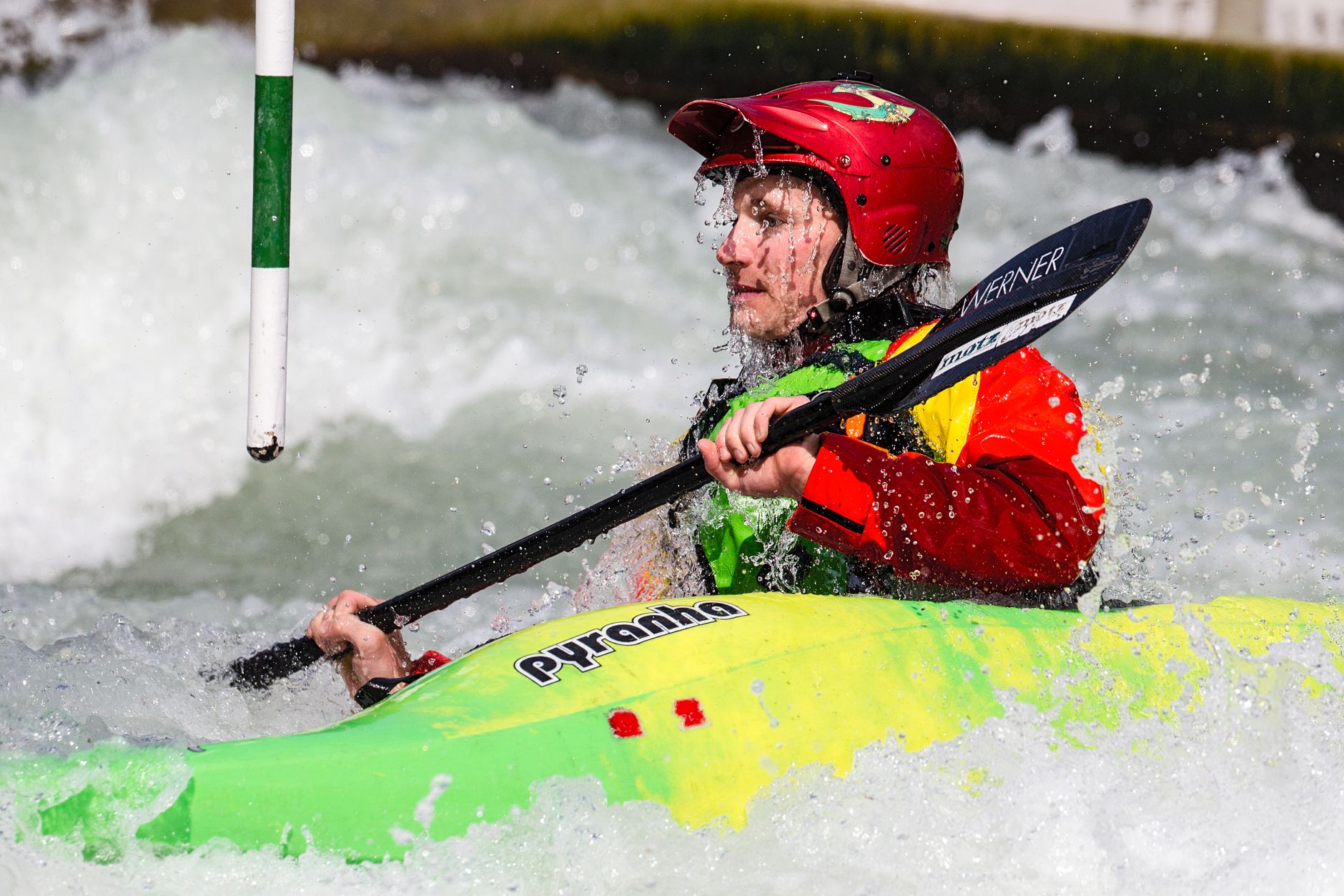
    Dynamic action shot of a kayaker navigating rapids in a vibrant kayak

    Frequently Asked Questions

    What does FIBArk stand for?

    “First In Boating the Arkansas,” referencing the festival’s origins as one of the first organized races on the Arkansas River.

    When is FIBArk held?

    Every June, typically over a four-day weekend in mid-to-late June.

    How old is FIBArk?

    It started in 1949, making it America’s oldest whitewater festival.

    Is FIBArk free to watch?

    Much of the racing can be watched from Salida’s downtown riverwalk without special tickets or access.

    Should I book lodging in advance for FIBArk?

    Yes — Salida gets considerably busier during festival weekend, and accommodations should be booked well ahead of time.

    What events happen at FIBArk besides boat racing?

    Live music, foot and bike races, and a parade have all grown up around the original whitewater boat race over the decades.

    How many competitors participate in FIBArk?

    More than a hundred annually today, a substantial increase from the original 23 competitors in 1949.

    Visiting during FIBArk? See our full Salida town guide, or fuel up at Poncha Market before heading in.

    For current festival dates and event schedules, see FIBArk’s official site.

  • Collegiate Peaks Wilderness Hiking Guide: Alpine Lakes and Trails

    Collegiate Peaks Wilderness Hiking Guide: Alpine Lakes and Trails

    Not every hike near Poncha Market has to end on a 14,000-foot summit. Collegiate Peaks Wilderness, north of Poncha Springs toward Buena Vista, holds 22 lake trails and a wide range of moderate hikes that don’t require the full commitment of the fourteeners covered in our Sawatch Range 14ers guide.

    This guide focuses on that other side of the wilderness area — the alpine lakes, forested approaches, and moderate trails that make up most of what’s actually hiked here, rather than just the headline summits.

    Most visitors to this wilderness area, in practice, never attempt a fourteener at all — they come for exactly what this guide covers: genuinely scenic alpine terrain reachable in a single day, without the altitude and endurance demands of a summit push.

    With 22 named lake trails carrying an average rating above 4.5 stars across thousands of reviews, this is a wilderness area with real depth beyond its famous peaks — enough options that a repeat visitor could hike a different lake trail on every trip for years.

    That depth is exactly what separates a genuinely great wilderness area from one with just a few marquee attractions. Even hikers who’ve already summited the surrounding fourteeners often find themselves returning specifically for the lake trails, which offer a fundamentally different kind of reward than a summit push.

    What Is Collegiate Peaks Wilderness?

    The wilderness area takes its name from the cluster of fourteeners named after Ivy League universities — Harvard, Yale, Princeton, and Columbia among them — and covers a high-elevation landscape of dense forests, open meadows, and pristine alpine lakes and streams throughout the Sawatch Range.

    Because it’s a designated wilderness area, specific rules apply: dogs must be leashed, camping is required at least 100 feet from water and trails, and group sizes are capped at 15 or fewer — all worth knowing before you head in, particularly if you’re used to less-regulated public land elsewhere.

    These rules exist specifically to preserve the quality of the terrain that draws people here in the first place. A wilderness designation isn’t just a naming convention — it comes with real legal protections and restrictions distinct from a standard national forest area, and treating them casually is both a rule violation and a disservice to the landscape.

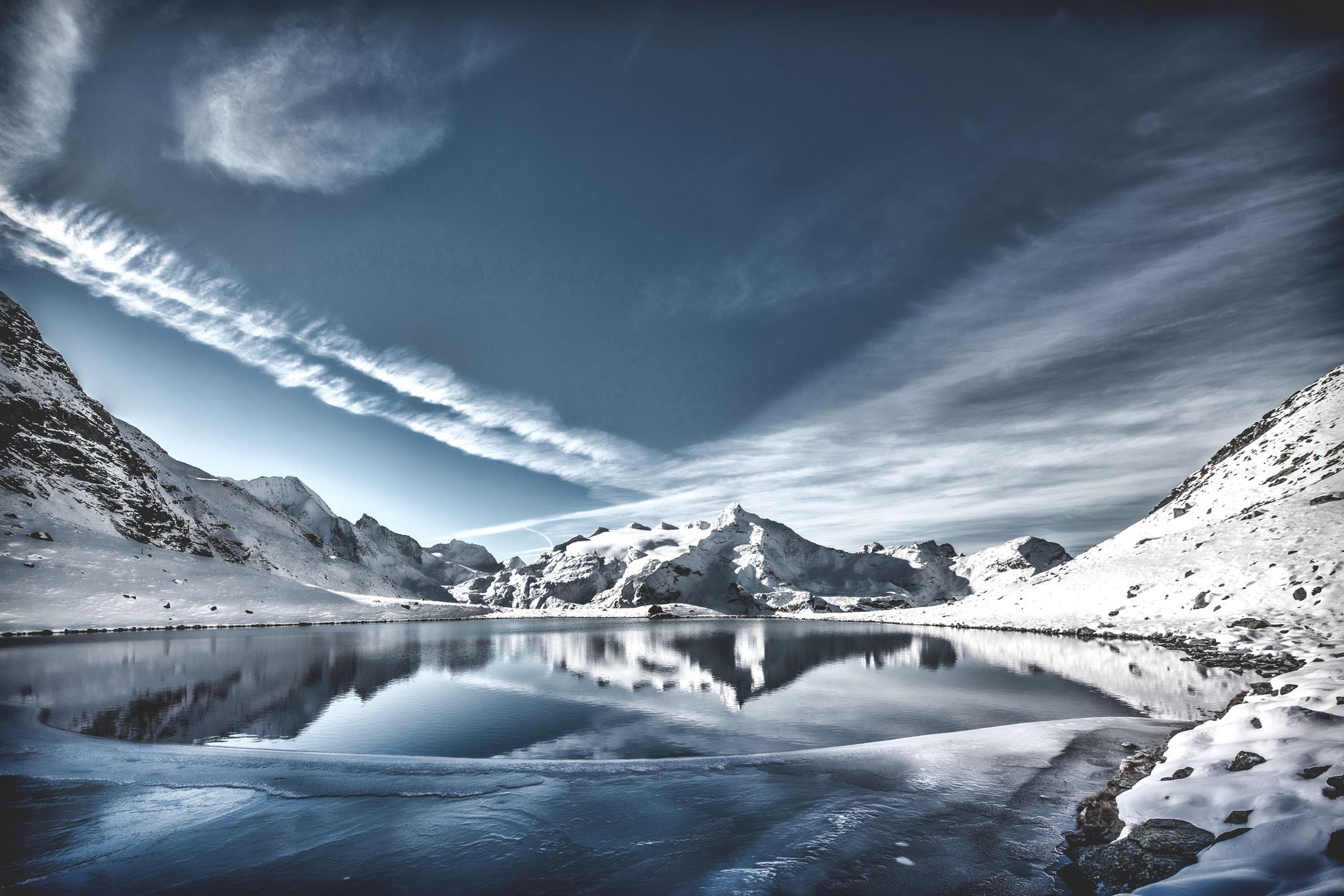
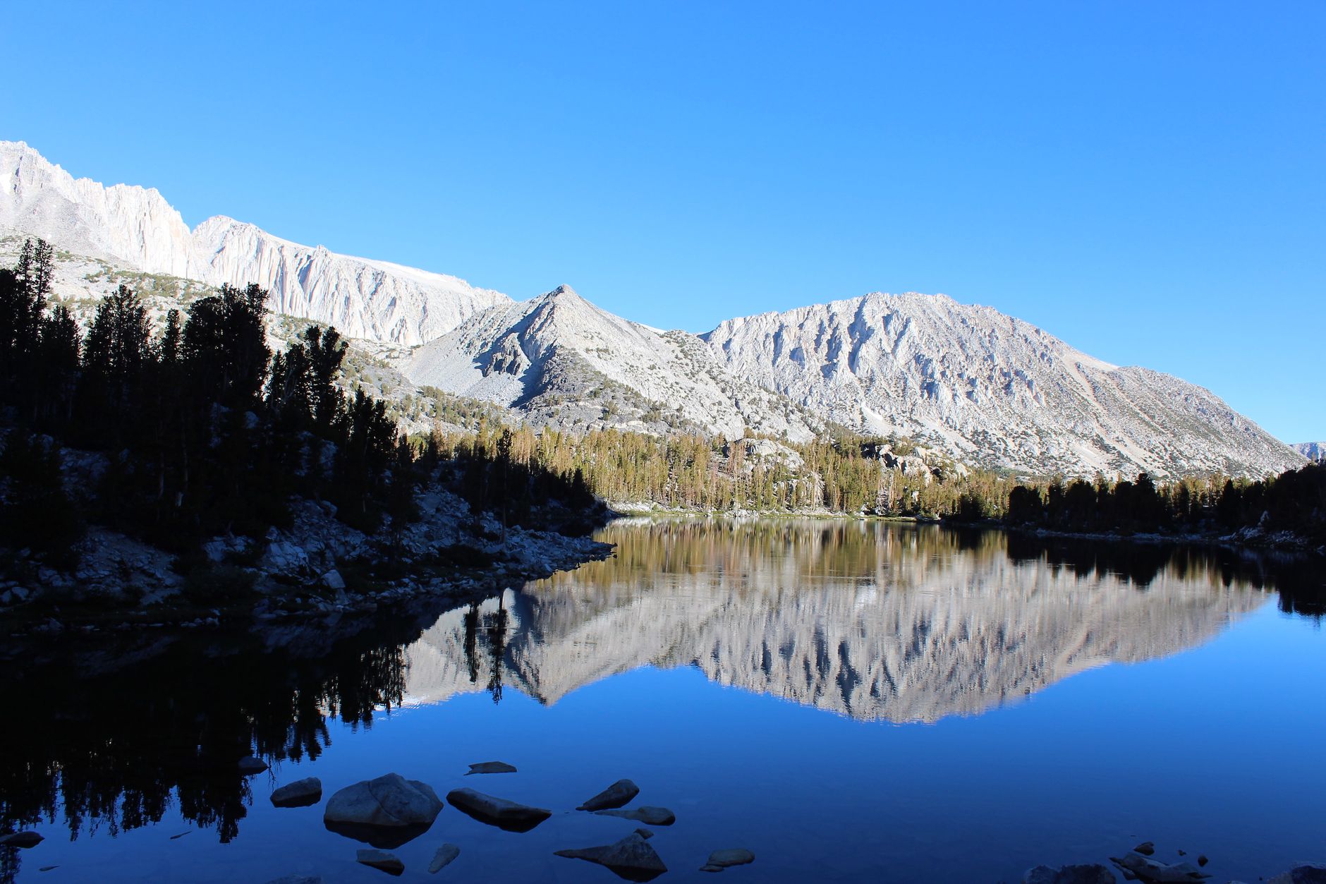
    A peaceful mountain landscape with lake reflections under a clear blue sky

    Notable Lake Trails

    TrailDistanceDifficultyHighlight
    Mount Harvard Trail12.8 miles round tripDifficultHighest-rated lake trail in the wilderness
    Ptarmigan Lake Trail6.1 milesDifficultScenic alpine lake destination
    Lake Ann Trail3.6 milesModerateStunning alpine lake beneath towering peaks
    Hartenstein Lake Trail6.2 milesChallengingStarts at Denny Creek Trailhead
    Lost Lake LoopVariesModerateExcellent fly fishing, frequent moose sightings
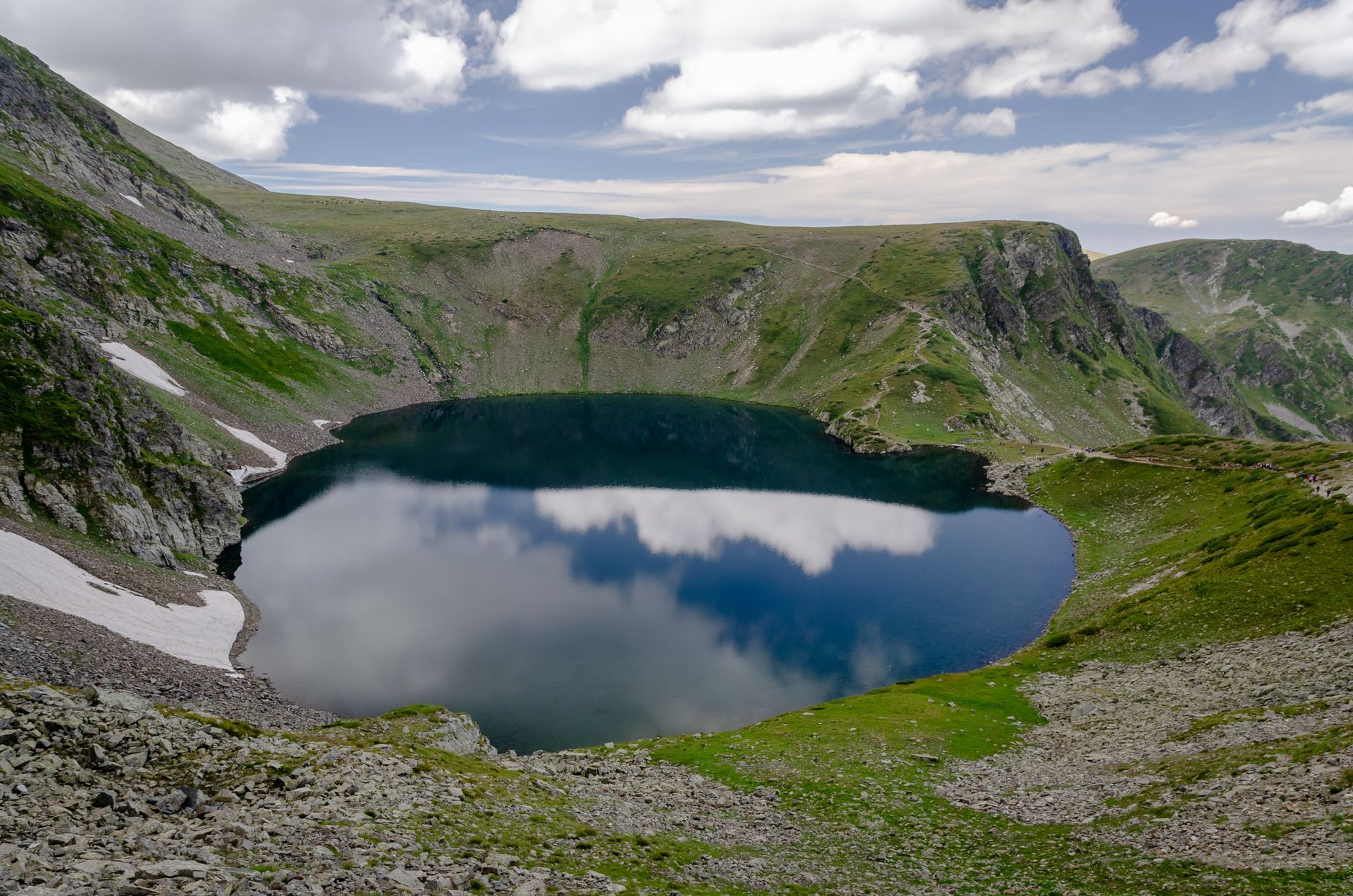
    A breathtaking view of a mountain lake reflecting clouds under a summer sky

    Lake Ann: A Good Starting Point

    For hikers looking for something more approachable than a full-day fourteener but still genuinely scenic, Lake Ann’s 3.6-mile out-and-back to an alpine lake beneath towering peaks is a solid introduction to what this wilderness area offers, without the altitude and distance demands of the harder options.

    It’s also a reasonable choice for families or groups with mixed fitness levels, where a full fourteener attempt would leave some members struggling while others feel unchallenged — Lake Ann’s distance and elevation gain are demanding enough to feel like a real accomplishment without requiring the same level of training.

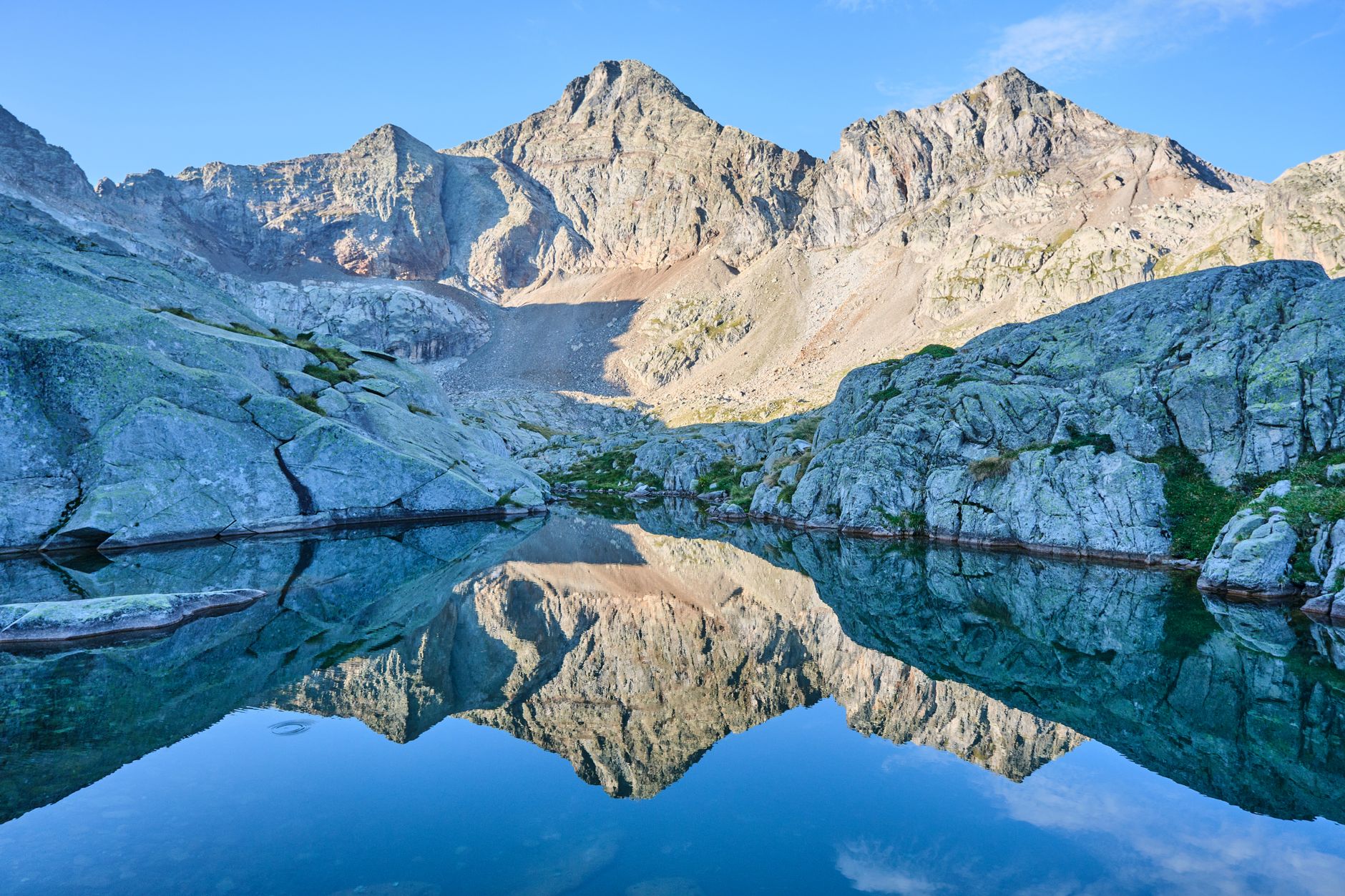
    A stunning mountain scene with a clear lake reflecting rugged peaks

    Wildlife Along the Trails

    Lost Lake Loop in particular is known for frequent moose sightings near treeline, in addition to excellent fly fishing — a reminder that this wilderness area rewards more than just hiking distance covered. Giving moose plenty of space, especially cows with calves, is essential; they’re far more dangerous when approached than their calm appearance suggests.

    A moose that feels threatened will charge with little warning, and unlike bears, moose don’t respond to the same deterrents — the safest approach is always maximum distance and a calm, unhurried retreat if one is spotted nearby on the trail.

    Fly fishing at Lost Lake specifically rewards patience and quiet more than technical skill — it’s a smaller, less pressured body of water than the Arkansas River’s Gold Medal stretch, which makes it a worthwhile stop for anglers seeking a change of pace from the busier river fishing covered in our Arkansas River fly fishing guide.

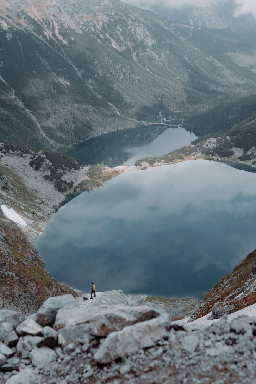
    A lone hiker stands near a reflective mountain lake amidst scenic peaks

    Seasonal Access

    The wilderness is often covered in snow from November through June, similar to much of the surrounding high country. Trailhead access and specific trail conditions vary significantly by elevation and aspect, so checking current conditions before a specific trip — especially early or late in the season — is worth doing rather than assuming a trail is clear just because the calendar says summer.

    A trail that’s fully clear at its trailhead can still hold significant snow at its higher elevations well into July in a heavy snow year, particularly on north-facing sections that get less direct sun exposure through the season.

    Trip reports from recent hikers, available through several online hiking platforms, are generally the most reliable way to check current trail-specific conditions rather than relying on general seasonal assumptions alone.

    For a first visit to this wilderness area, starting with one of the shorter, more established trails like Lake Ann before attempting something longer like the Mount Harvard Trail lake route is a sensible way to gauge your own pace and comfort with the altitude before committing to a bigger day.

    Whatever trail you choose, treat this as an opportunity to see the Sawatch Range from a genuinely different angle than a highway pull-off or drive-by photo stop offers — the lakes here are only reachable on foot, which is exactly why they stay quieter and more pristine than roadside viewpoints.

    Hikers exploring a rugged mountain landscape with stunning alpine views

    Frequently Asked Questions

    How many lake trails are in Collegiate Peaks Wilderness?

    22, with an average rating of 4.5 stars across more than 5,000 reviews.

    What is the easiest lake hike in this area?

    Lake Ann Trail, at 3.6 miles round trip, is generally considered one of the more approachable options compared to the longer, more difficult trails nearby.

    Are dogs allowed in Collegiate Peaks Wilderness?

    Yes, but they must be kept leashed under wilderness area regulations.

    Is this different from the Sawatch 14ers guide?

    Yes — this guide focuses on moderate, non-summit lake hikes; see our Sawatch Range 14ers guide for the fourteener climbing routes.

    When is Collegiate Peaks Wilderness accessible?

    Generally summer through early fall; much of the area is snow-covered from November through June.

    Is a permit required to hike in Collegiate Peaks Wilderness?

    No permit is generally required for day hiking, though wilderness regulations on group size, camping distance, and leashed dogs still apply.

    Can I see moose in Collegiate Peaks Wilderness?

    Yes — Lost Lake Loop specifically is known for frequent moose sightings near treeline, in addition to good fly fishing.

    Looking for a bigger challenge? See our Sawatch Range 14ers guide, or fuel up at Poncha Market before heading out.

    For wilderness area regulations and stewardship information, see Wilderness.net.

  • Cross-Country Skiing and Snowshoeing Near Monarch Pass, Colorado

    Cross-Country Skiing and Snowshoeing Near Monarch Pass, Colorado

    Downhill skiing at Monarch Mountain gets most of the attention, but the same stretch of highway near Poncha Market also holds some genuinely good cross-country skiing and snowshoeing, generally with far fewer crowds than the lift-served slopes nearby.

    This guide covers the Nordic and snowshoeing side of winter recreation near Monarch Pass, distinct from the downhill skiing already covered in our Monarch Pass driving guide.

    For travelers who want winter mountain scenery without the cost of a lift ticket, or who simply prefer a quieter, self-powered pace through the snow, this is a genuinely different way to experience the same high-elevation terrain that draws downhill skiers to the area every winter.

    It’s also a more flexible option for travelers on a schedule — there’s no lift line to wait in, no lift ticket window to plan around, and trailheads are directly accessible from the highway rather than requiring a separate resort check-in process.

    Nordic skiing and snowshoeing also demand less specialized equipment than downhill skiing, and the learning curve for basic technique is considerably gentler — both factors that make it a realistic option for travelers without prior winter sports experience.

    Snowshoeing in particular requires essentially no prior technique at all beyond normal walking, which makes it one of the most accessible ways to experience genuine backcountry winter terrain for visitors who’ve never tried any snow sport before.

    Cross-country skiing has a somewhat steeper initial learning curve than snowshoeing, but the gentle, gradual grade of routes like the Old Monarch Pass Loop makes it a reasonable place to practice basic technique without the intimidation factor of a steeper downhill run.

    Pairing a Nordic morning with an afternoon stop at one of the area’s hot springs is a genuinely popular combination among locals — a cold, active start to the day followed by a warm, restful finish, all within a short drive of each other.

    For visitors deciding between downhill skiing and this quieter alternative, cost, crowd tolerance, and desired pace are the real deciding factors — both options draw on the same mountain, just in fundamentally different ways.

    Old Monarch Pass Loop

    The Old Monarch Pass Loop is a 3.1-mile trail popular for cross-country skiing, hiking, and snowshoeing, generally rated an easy route that takes an average of about an hour and 20 minutes to complete. In winter, it works well as a backcountry ski tour or a snowshoe outing without requiring advanced technical skill.

    Just 25 minutes west of Salida, the route follows the old pre-highway alignment of Monarch Pass, climbing at a gradual slope until you’re standing on the Continental Divide itself — a genuinely rewarding destination for a relatively approachable winter trail.

    Reaching the Continental Divide on a trail rated easy is a rare combination in Colorado, where most Divide-crossing routes demand considerably more effort and technical skill. That accessibility is a big part of why this specific loop gets recommended so consistently for winter visitors new to Nordic skiing.

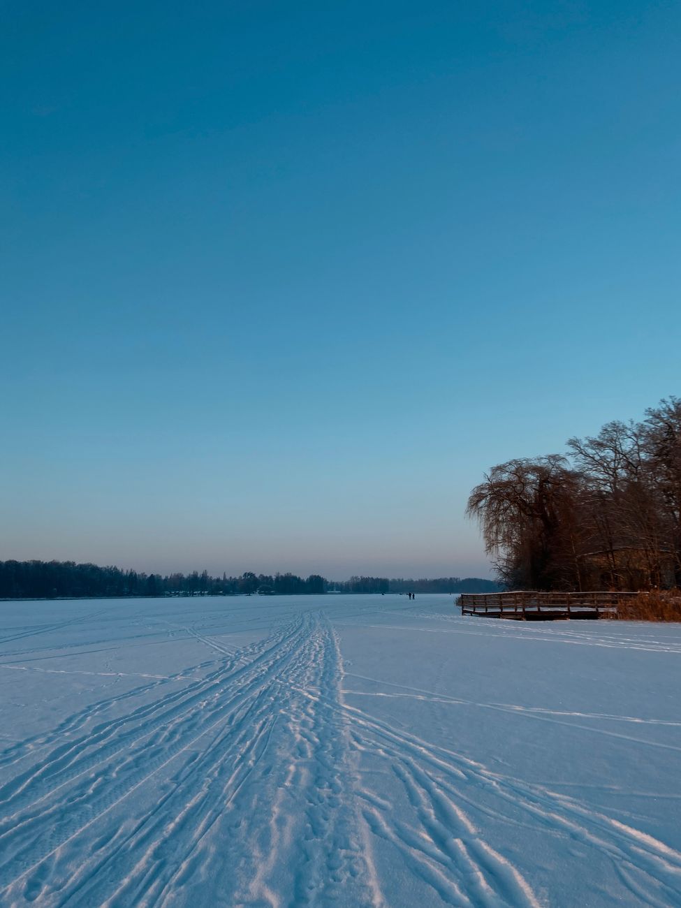
    A vast snowy landscape with a ski trail under a clear blue sky

    Waterdog Lakes Trail

    For a steeper, more demanding option, the Waterdog Lakes Trail on Monarch Pass climbs less than two miles but reaches small alpine lakes close to 11,300 feet in elevation — a serious winter objective for experienced snowshoers comfortable with sustained elevation gain in cold conditions.

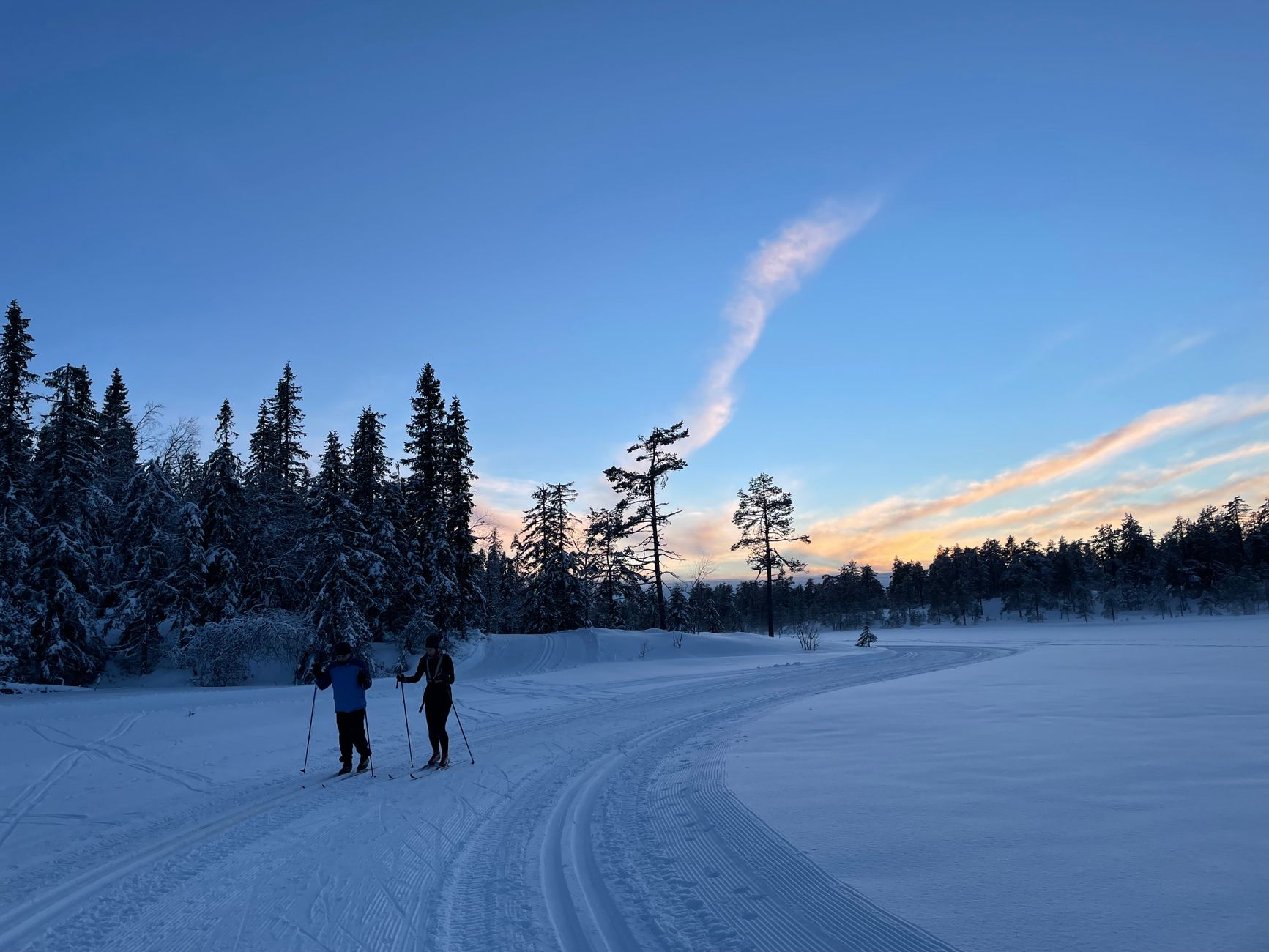
    Two skiers glide across a snowy trail with a winter forest backdrop at dusk

    Rentals and Getting Started

    Bluebird Mountain Sports, also known locally as Mt. Shavano Ski and rental shop, rents cross-country ski and snowshoe equipment for visitors who don’t want to travel with their own gear — a practical option for road trippers who hadn’t originally planned a Nordic skiing stop but want to take advantage of a good snow day.

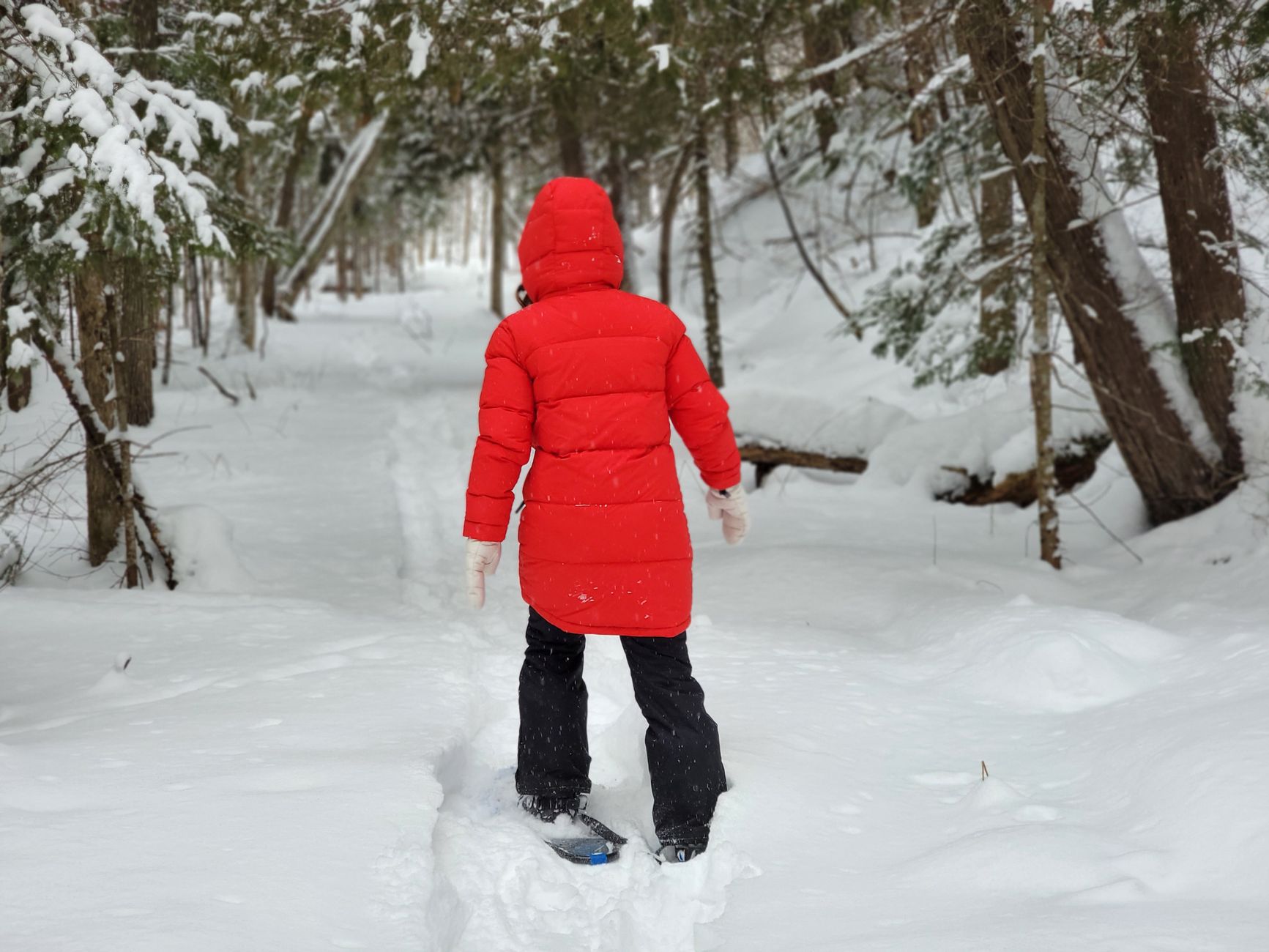
    A person in a red coat snowshoeing through a snowy forest

    Why Nordic Skiing Here Is Different From Downhill

    Downhill (Monarch Mountain)Nordic / Snowshoeing
    CostLift ticket requiredFree on public trails, rental gear optional
    CrowdsBusier, especially weekendsGenerally quieter
    Skill levelGroomed runs for varying levelsRoute-dependent, ranges from easy to demanding
    AccessSki area base facilitiesTrailheads directly off the highway
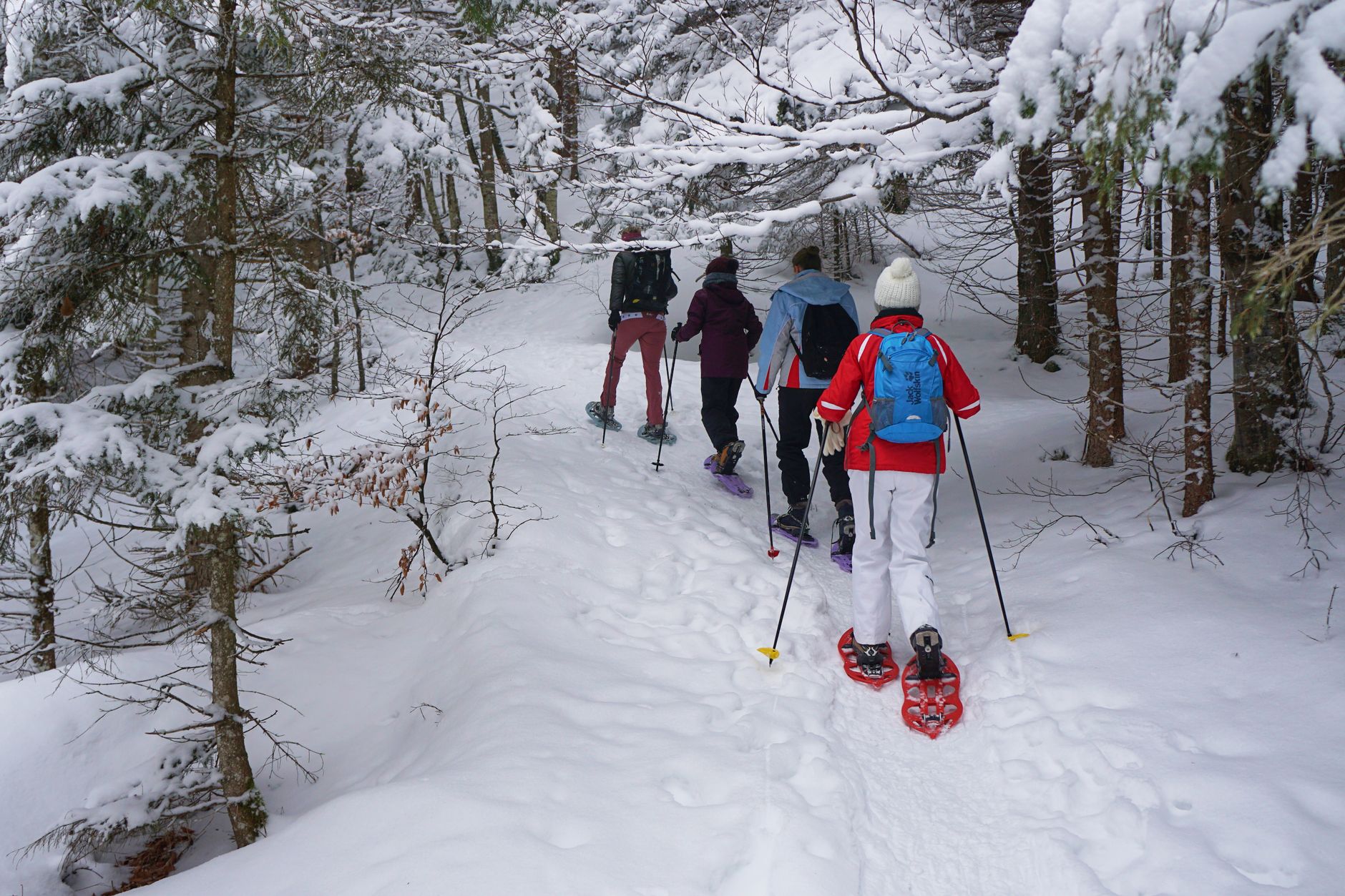
    A group of hikers enjoying a snowy winter hike with snowshoes in a forest

    Winter Safety on These Trails

    Even relatively short winter trails at this elevation deserve real preparation: proper layers, sun protection despite the cold, and enough daylight buffer given how much earlier it gets dark in winter. Checking avalanche conditions before heading into steeper terrain like Waterdog Lakes is a reasonable precaution rather than an overreaction, since terrain that looks mellow can still carry real avalanche risk in the right snow conditions.

    Telling someone your planned route and expected return time matters just as much here as it does for summer hiking — winter conditions can turn a minor injury or equipment failure into a genuinely serious situation much faster than the same problem would be in warmer weather.

    Daylight hours shrink considerably in winter compared to summer, which changes trip planning more than people expect — a trail that felt comfortably timed on a long June evening can leave you finishing in the dark on a short December afternoon if you start at the same clock time.

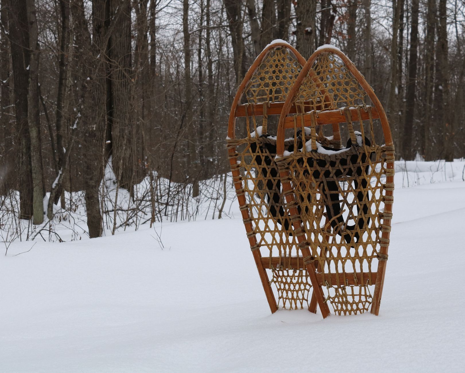
    A pair of classic wooden snowshoes standing in a snowy forest

    Fueling Up for a Winter Trail Day

    Poncha Market is a practical stop before heading up to the trailheads, and an even better one afterward — a hot meal at Mabel’s Deli is a welcome reward after a cold day of breaking trail through snow.

    Frequently Asked Questions

    Is Old Monarch Pass Loop good for beginners?

    Yes — it’s generally rated an easy trail, suitable for both cross-country skiing and snowshoeing without advanced technical skill.

    Where can I rent snowshoes or cross-country skis near Poncha Springs?

    Bluebird Mountain Sports (Mt. Shavano Ski and rental shop) rents equipment for visitors without their own gear.

    Is Waterdog Lakes Trail difficult in winter?

    Yes, relatively — it’s steep and reaches nearly 11,300 feet, making it better suited to experienced snowshoers than casual first-timers.

    Do I need an avalanche check before these trails?

    For steeper terrain like Waterdog Lakes, checking current avalanche conditions is a reasonable precaution; the Old Monarch Pass Loop is generally more moderate terrain.

    Is cross-country skiing free near Monarch Pass?

    Yes, on public trails like the Old Monarch Pass Loop, unlike downhill skiing at Monarch Mountain, which requires a lift ticket.

    Do I need prior experience to try Nordic skiing here?

    No — the Old Monarch Pass Loop’s easy rating and gradual grade make it a reasonable starting point for first-timers, with rental gear and guidance available locally.

    What should I wear for winter trail activities at this elevation?

    Layered clothing, sun protection despite the cold, and gear rated for genuinely cold temperatures, since conditions at these elevations are colder than a typical winter day at lower altitude.

    Heading up for a winter trail day? Fuel up at Poncha Market, or check our Monarch Pass driving guide for road conditions first.

    For general winter recreation and ski area information, see the National Ski Areas Association.

  • Chaffee County Mining History Guide

    Chaffee County Mining History Guide

    Long before Poncha Market existed as a gas station and deli, the roads through this part of Colorado were built for a different purpose entirely: moving people, ore, and supplies through some of the richest mining country in the American West.

    Understanding that history adds real context to a region that can otherwise look like just scenery from a car window — the passes, the old railroad grades, and even some of the town names trace directly back to the mining boom of the late 1800s.

    Colorado’s mountain mining boom of the late 19th century reshaped this entire region in ways that are still visible today, from the exact routes highways follow to the reason certain towns exist at all where they do.

    This isn’t ancient history in the abstract, either — some of the physical infrastructure from that era, including graded roads and old structures, remains directly usable or visible today, making this one of the more tangible ways to connect with the region’s past while actually road-tripping through it.

    The Leadville Boom

    Leadville, north of Chaffee County in the upper Arkansas River Valley, became the “Silver Capital of America” after major silver deposits were discovered in 1878, following an earlier gold placer mining boom at California Gulch starting in 1860. By 1880, Leadville’s population had swelled to somewhere between 25,000 and 40,000 people — a staggering number for a Colorado mountain town at that altitude.

    The Leadville mining district became the most productive silver-mining district in Colorado history, and its deposits remain among the largest lead-zinc-silver finds in the world. That boom rippled south into Chaffee County, driving demand for transportation routes connecting Leadville to the rest of the territory.

    A boomtown population in the tens of thousands, at high altitude, in the late 1800s, required real infrastructure — supply routes, transportation for ore, and eventually rail lines — all of which had to be built through genuinely difficult mountain terrain, using the era’s limited engineering tools and techniques.

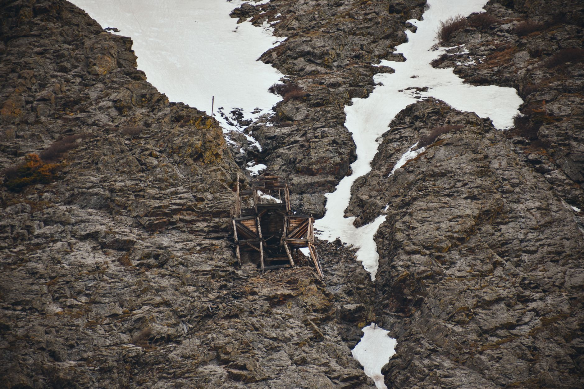
    An abandoned mine set against rocky cliffs with patches of snow

    Chaffee County’s Own Mining Activity

    Chaffee County had its own significant mining operations beyond simply serving as a transportation corridor. The New York and Colorado Mining, Developing and Prospecting Company, incorporated in 1881 by a group of Leadville businessmen, operated numerous claims throughout the area, including the Bluebird, Highland Girl, Bristol, Last Dollar, and several others with similarly colorful names typical of the era.

    Mount Antero, one of the fourteeners visible from Poncha Springs, has its own distinct mining legacy centered on gems rather than precious metals — a mining tradition around smoky quartz and aquamarine that continues in a smaller, more recreational form today.

    That gem-mining tradition is genuinely unusual among Colorado’s fourteeners, most of which have mining histories tied to silver, gold, or industrial metals rather than gemstones. It’s part of what makes Antero’s specific history worth knowing beyond just its elevation and difficulty rating.

    Rockhounds still visit the area today specifically for the chance to find loose gem material on the mountain’s slopes, a genuinely different draw than the summit-focused hikers covered in our Sawatch 14ers guide, even though both groups are climbing the same mountain.

    That dual identity — a genuine fourteener summit hike and a working gem-hunting destination in one — is fairly rare among Colorado’s high peaks, and it’s part of why Antero draws a noticeably different crowd than its neighboring mountains do.

    Understanding this history also explains details visitors might otherwise miss while driving through — why certain roads exist where they do, why some place names sound like they came straight from a 19th-century prospector’s notebook, and why a region this remote developed the infrastructure it has today.

    For travelers with a genuine interest in Western history rather than just scenery, this stretch of Colorado rewards slowing down and reading the landscape a bit more carefully than a typical mountain drive requires.

    That same history connects directly to several of the other stops covered elsewhere in this series — the Marshall Pass Road, Salida’s historic downtown, and even the fourteeners themselves all trace back to this same era of rapid mining-driven development.

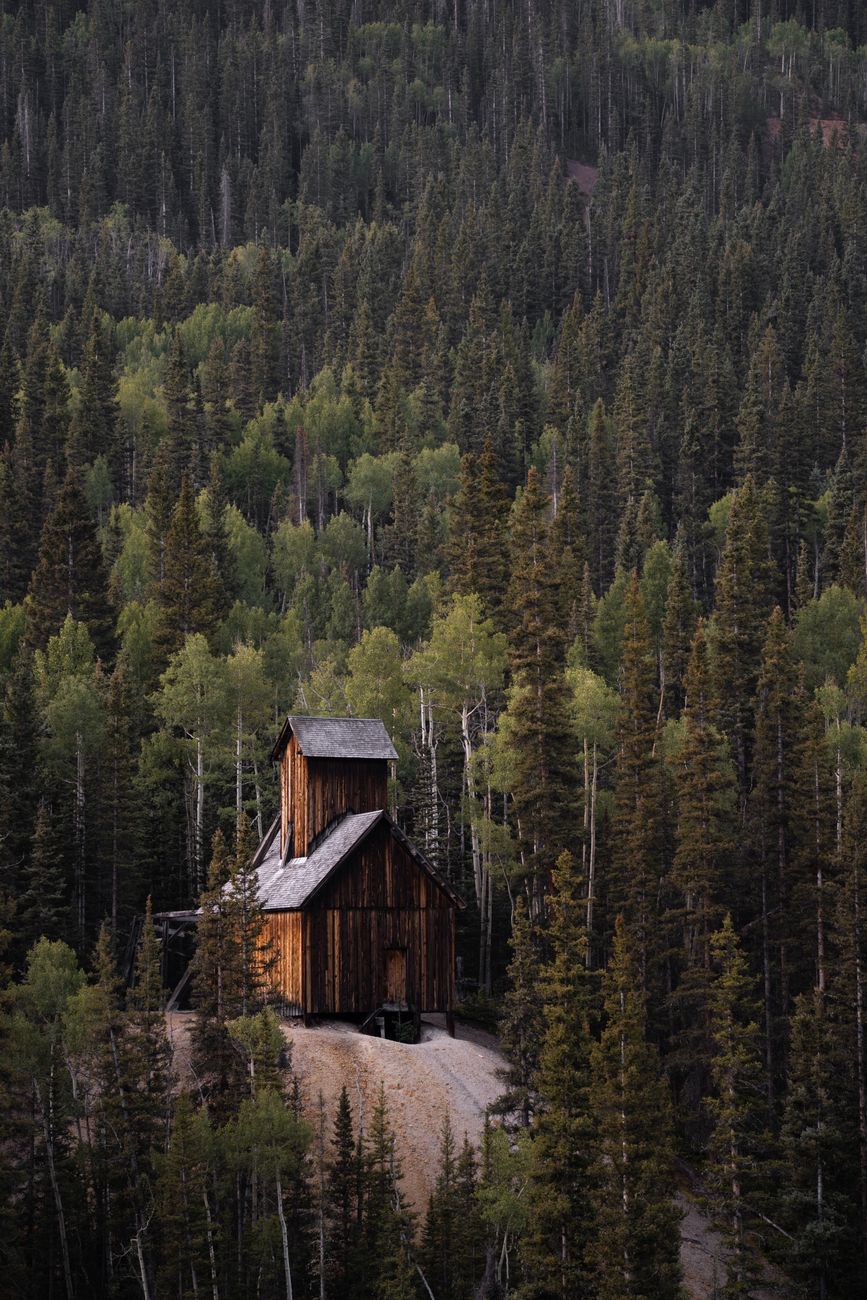
    Scenic view of an old wooden building nestled among dense coniferous trees

    How Mining Shaped the Roads You Drive Today

    Marshall Pass, whose access road begins just south of Poncha Springs, started as a toll stage road built by Otto Mears in 1878 before becoming a narrow-gauge railroad grade connecting Poncha Springs to the mining areas around Gunnison. The gravel road that exists today largely follows that original railroad alignment — a direct physical link between the mining era and the roads travelers use now.

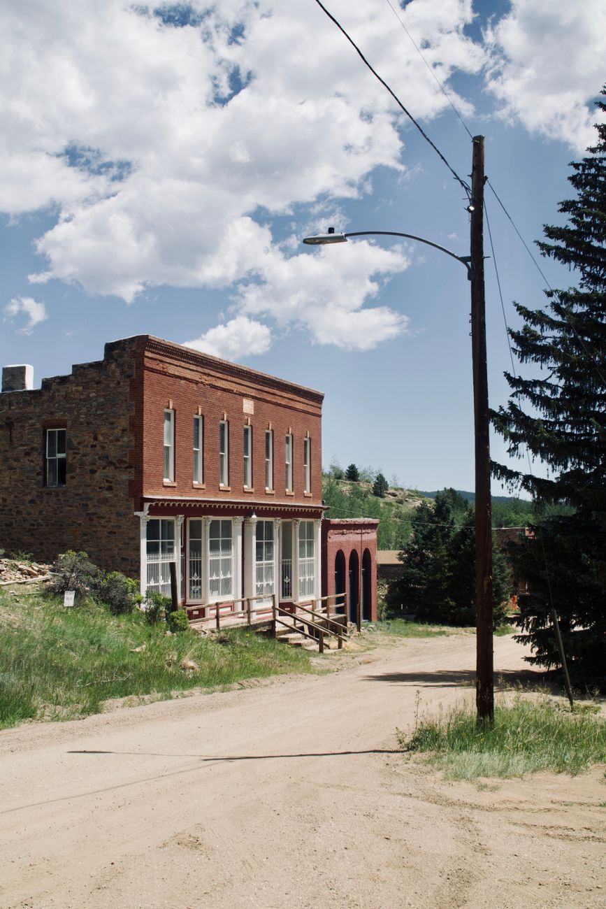
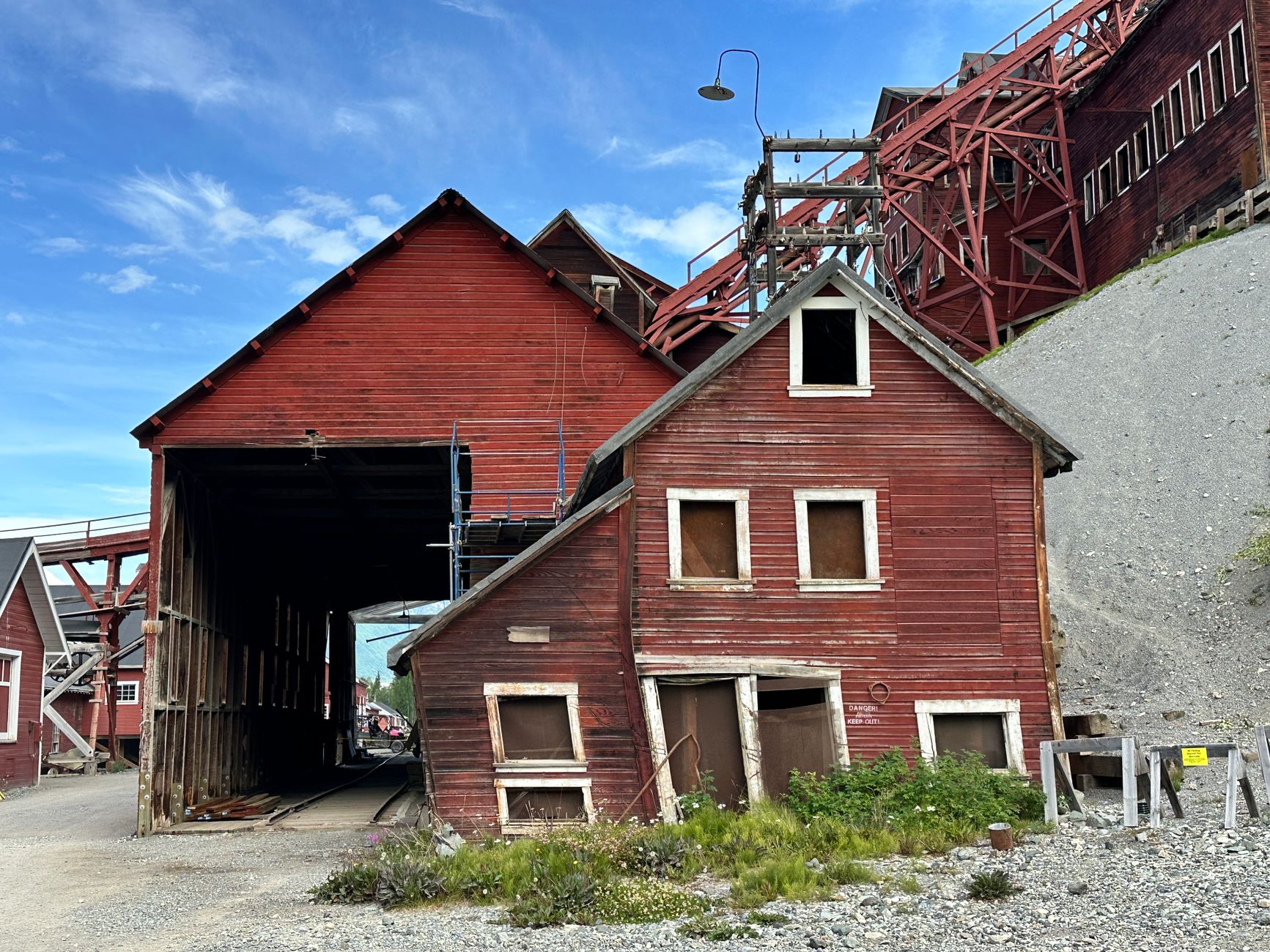
    An abandoned red building showcasing historical industrial architecture

    What’s Left to See Today

    • Scattered abandoned mine structures and headframes remain visible on public land throughout the surrounding mountains, though many are on private claims and should be viewed from a respectful distance.
    • Historic building facades in Salida’s downtown reflect the same era of regional prosperity that mining brought to the wider area.
    • The Marshall Pass Road itself is a drivable piece of that history, following the graded route of the old narrow-gauge railroad.
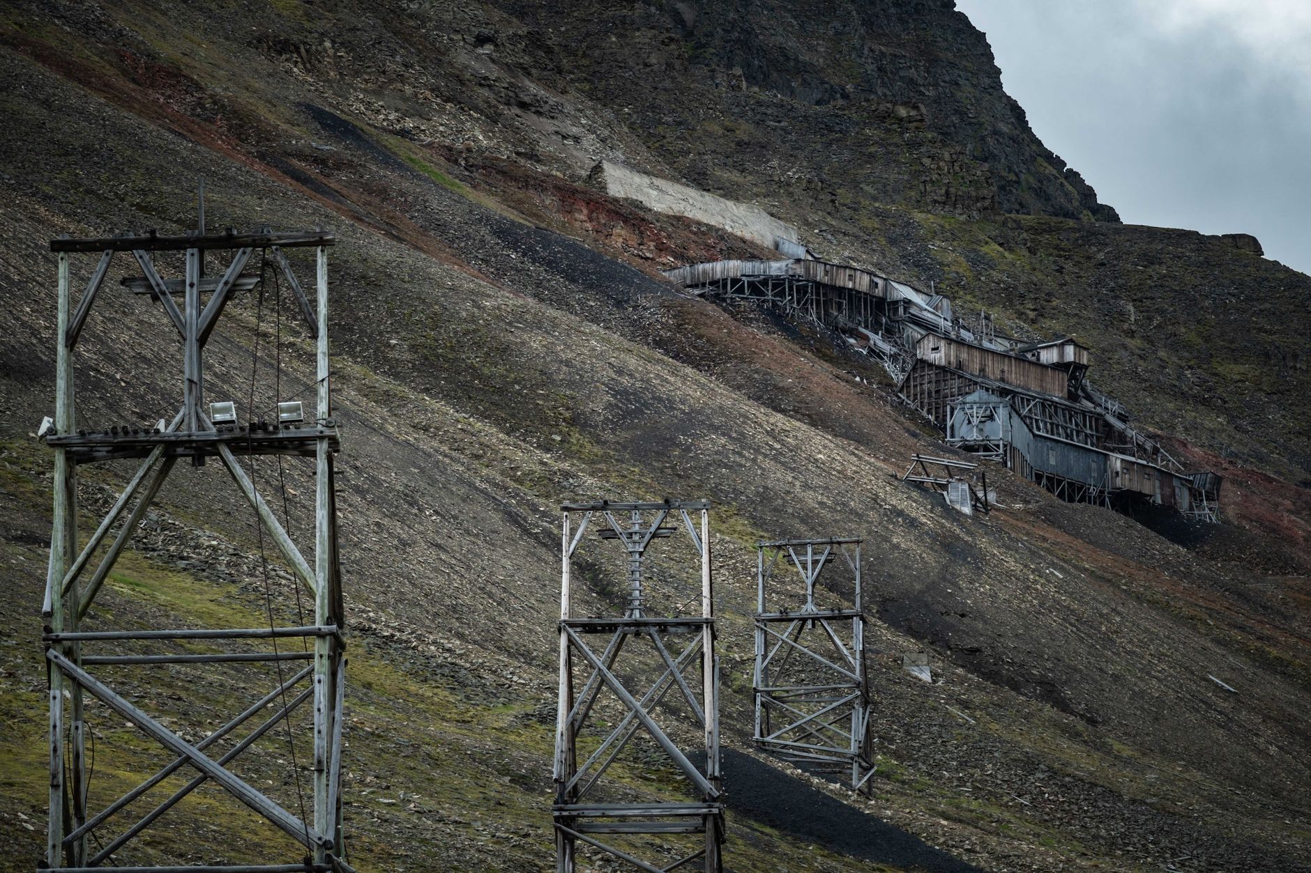
    Old mining structures on a rugged mountain slope showcasing industrial history

    A Practical Note on Old Mine Sites

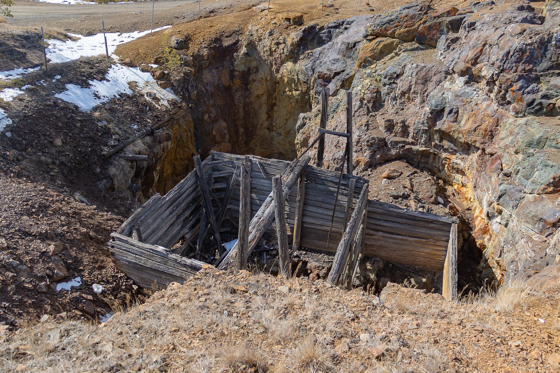
    Abandoned mine shafts and structures throughout Colorado’s mountains are frequently unstable and dangerous, and many sit on private mining claims that remain legally active even if visibly abandoned. Admiring them from a distance rather than exploring the structures directly is both safer and more respectful of property that, in many cases, is still technically owned and claimed.

    An abandoned wooden mine entrance set in a rural rocky landscape

    Frequently Asked Questions

    What mineral made Leadville famous?

    Silver, discovered in 1878, though the district began as a gold placer mining settlement in 1860.

    Is Mount Antero still mined today?

    Yes, in a smaller, more recreational form — it remains known for gem mining, particularly smoky quartz and aquamarine.

    Is Marshall Pass connected to mining history?

    Yes — it began as a toll road and later became a narrow-gauge railroad grade connecting Poncha Springs to mining areas near Gunnison. See our Marshall Pass guide.

    Can I visit old mine sites near Poncha Springs?

    Many are visible from public roads and trails, but old mine structures are frequently unstable and often sit on active private claims — view from a distance rather than exploring directly.

    How did mining shape Chaffee County’s roads?

    Several modern routes, including the Marshall Pass Road, directly follow historic toll roads and railroad grades built to serve the region’s 19th-century mining boom.

    What is the New York and Colorado Mining Company?

    An 1881 company incorporated by Leadville businessmen to operate numerous mining claims throughout Chaffee County, including claims with names like the Bluebird and Highland Girl.

    Is it safe to explore old mine sites?

    Generally no — abandoned mine structures are frequently unstable, and many sit on private claims that remain legally active. View from a distance rather than entering.

    Curious about Marshall Pass? See our full guide to its railroad history and scenic road.

    For deeper regional history resources, see History Colorado.

  • Stargazing and Dark Skies Near Poncha Springs, Colorado

    Stargazing and Dark Skies Near Poncha Springs, Colorado

    Colorado has 21 certified Dark Sky Places, second only to Utah among U.S. states — and the high country surrounding Poncha Market in Poncha Springs shares the same conditions that make those certified sites so good: high elevation, low humidity, and minimal light pollution.

    You don’t need an officially certified Dark Sky Place to get a genuinely good view of the night sky here — the elevation and rural setting around Poncha Springs already do most of the work.

    For travelers coming from major cities, where light pollution makes the Milky Way essentially invisible year-round, a clear night in this part of Colorado can be a genuinely striking experience, independent of any official designation.

    Why Elevation and Humidity Matter

    Low humidity and high elevation create ideal stargazing conditions, since there’s less atmosphere and moisture between you and the sky to scatter and dim starlight. Chaffee County’s elevation, generally between 7,000 and 9,000 feet in the valley, puts it solidly in the range that Colorado’s best-known stargazing communities share.

    Combined with minimal nearby urban development, this makes the open stretches of highway and surrounding public land around Poncha Springs genuinely competitive with more famous, officially designated dark sky destinations elsewhere in the state.

    Colorado’s overall standing — second only to Utah for certified Dark Sky Places — reflects a broader pattern across the state’s high-elevation regions generally, not just a handful of isolated locations. Chaffee County shares the same fundamental geography that earned other parts of Colorado their official certifications.

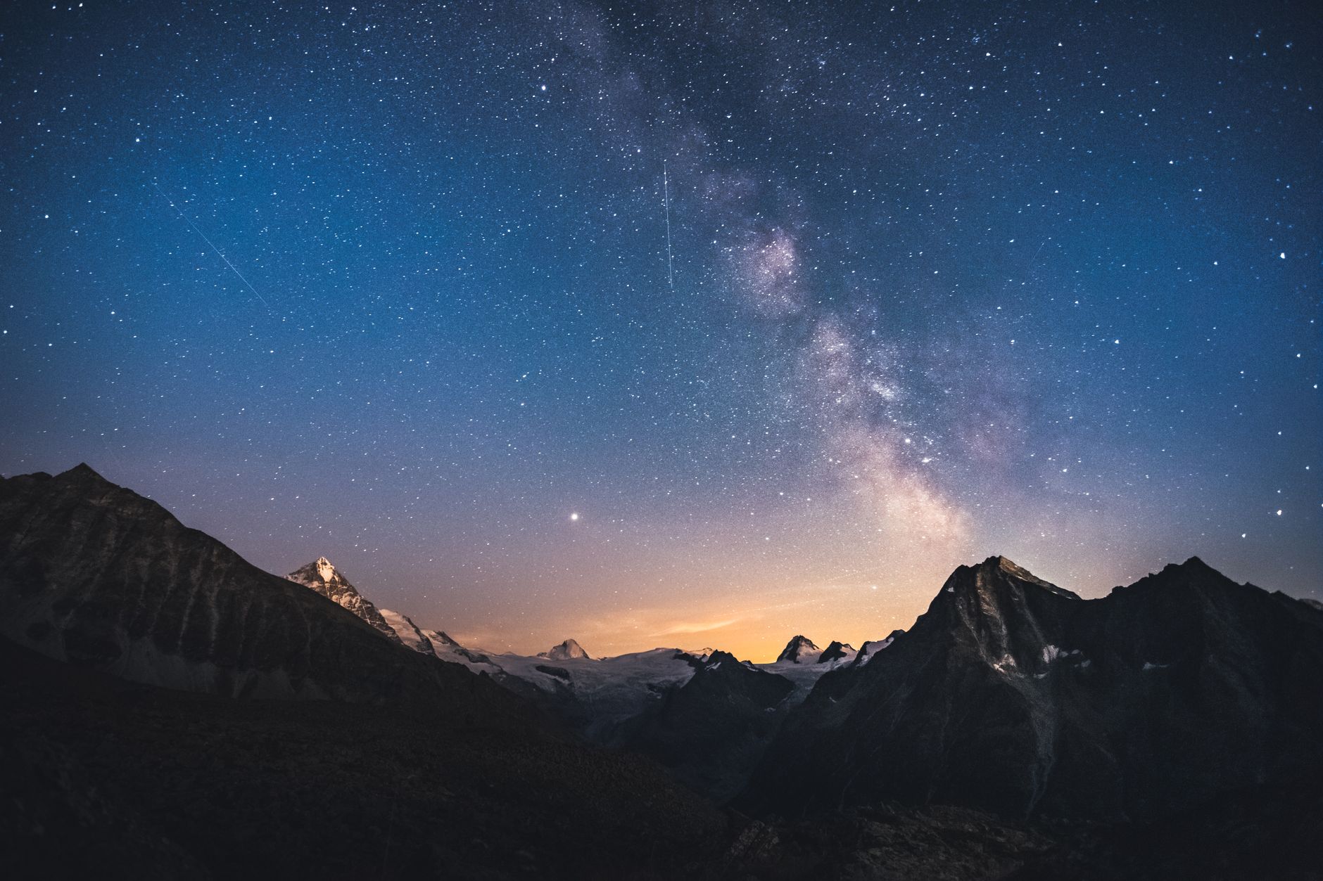
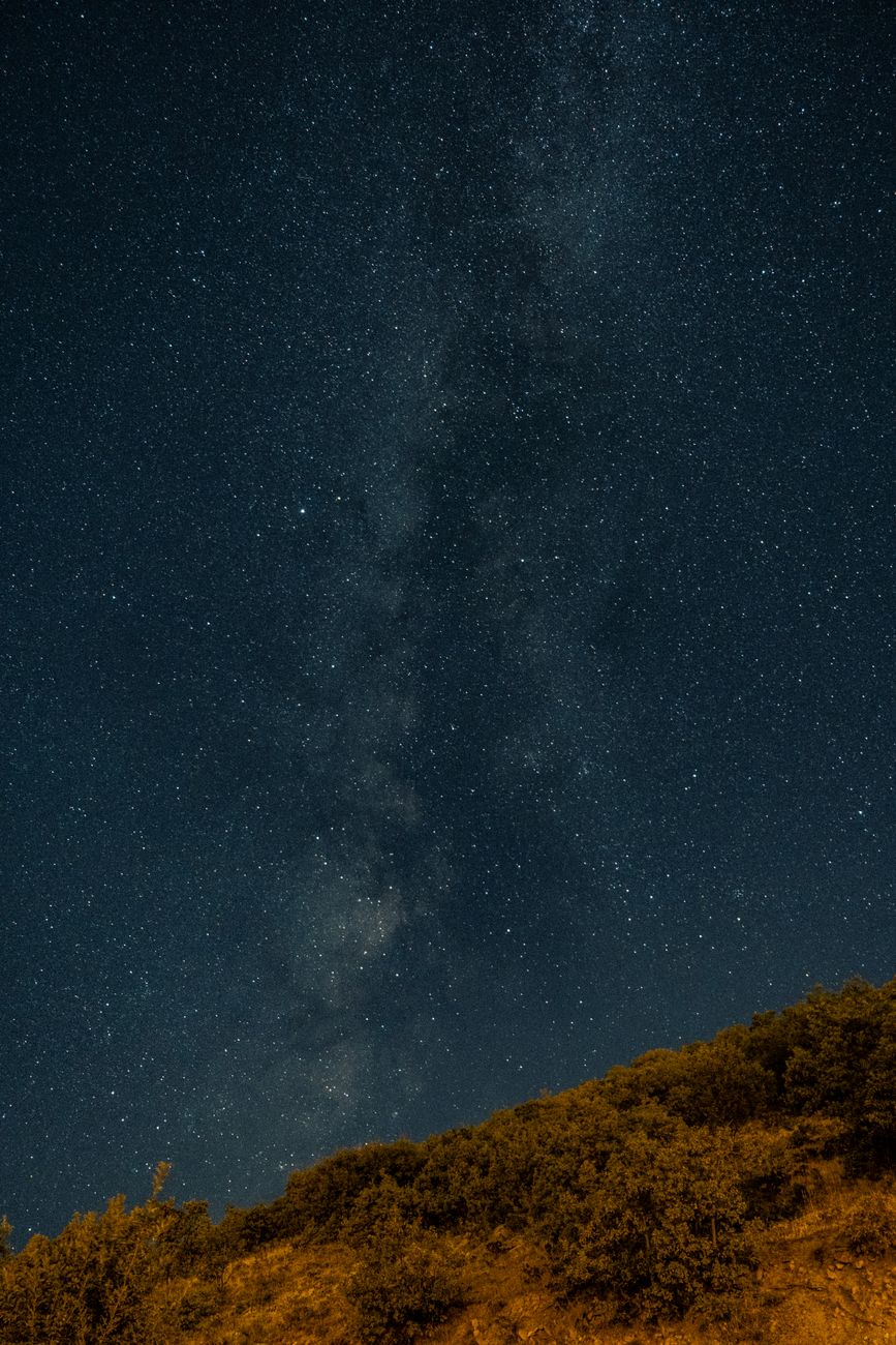
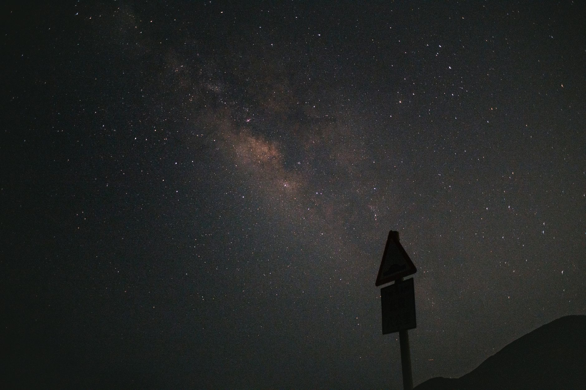
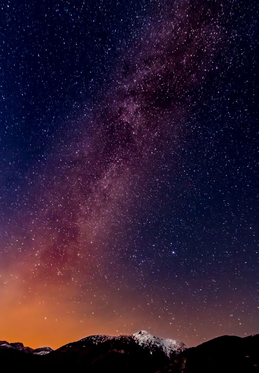
    A starry night sky with the Milky Way above silhouetted hills

    A Nearby Certified Dark Sky Park

    Great Sand Dunes National Park, about two hours south of Salida, is an officially certified International Dark Sky Park — one of the premier stargazing destinations in Colorado, and directly reachable from Poncha Springs via the same route covered in our Great Sand Dunes road trip guide.

    Combining a dune hike during the day with stargazing after dark makes for a genuinely full day at the park, and the open, treeless dune field itself offers an unusually unobstructed horizon for night sky viewing compared to a typical forested mountain overlook.

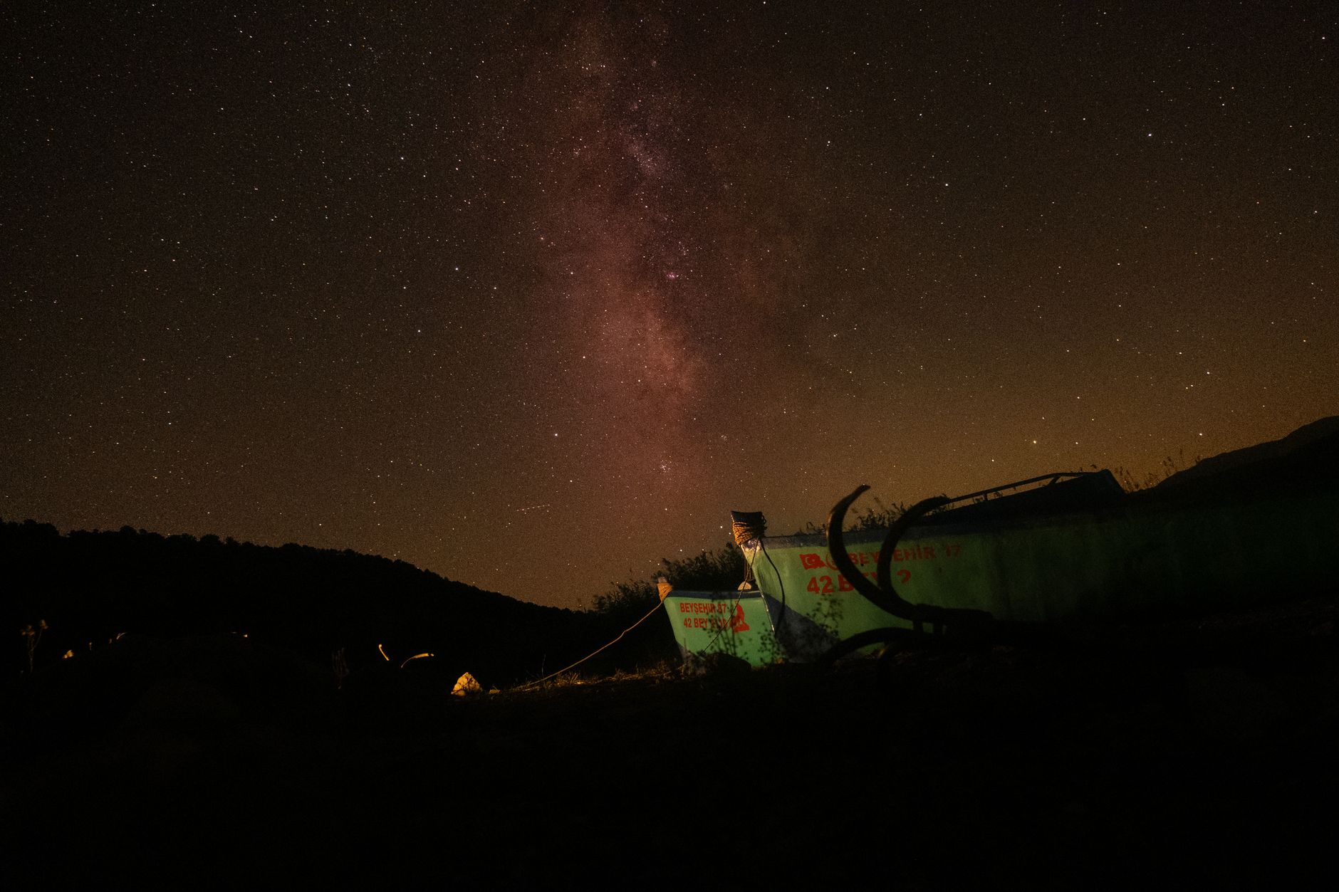
    A mesmerizing view of the Milky Way galaxy under a dark, starry sky

    Tips for Stargazing at Altitude

    • Plan around the new moon for the darkest possible skies; a full moon washes out all but the brightest stars and the Milky Way.
    • Give your eyes at least 20 to 30 minutes to fully adjust to the dark before expecting to see fainter detail.
    • Temperatures drop quickly after sunset at this elevation, even in summer — bring warmer layers than you’d expect to need.
    • A red-light flashlight preserves night vision better than a standard white flashlight if you need to see your surroundings.
    A breathtaking view of the Milky Way captured over a mountain range

    Where to Look Locally

    Pull-offs along US-285 and US-50 away from any town lighting, or higher elevation spots like the summit areas of Poncha Pass or Monarch Pass, offer genuinely dark conditions without needing to drive all the way to a certified park. Always pull well off the road and use hazard lights if you’re stopping specifically to look up.

    Higher elevation doesn’t just mean darker skies — it also means less atmosphere between you and the stars, which is a genuinely different physical effect than simply being farther from city lights. Both factors compound at a summit pull-off, which is part of why these spots consistently outperform lower-elevation viewing locations nearby.

    That said, safety comes first at any nighttime roadside stop — choose a wide, well-lit pull-off rather than a narrow shoulder, and never attempt to stargaze from a spot with limited visibility for other drivers, regardless of how tempting a particular view looks.

    A basic star chart app on your phone, set to a red-light or night mode, can help identify constellations and planets without ruining your night vision the way a normal bright screen would — a simple, free upgrade to any casual stargazing stop.

    Meteor showers throughout the year add another reason to plan a stargazing stop around a specific date rather than just any clear night — checking a current meteor shower calendar before your trip can turn an already good sky into a genuinely memorable one.

    For travelers combining a stargazing stop with a longer overnight trip through the area, checking multiple nights’ forecasts rather than committing to just one gives a meaningfully better chance of catching genuinely clear conditions, since mountain weather here can vary noticeably from one night to the next.

    Ultimately, the simplest version of stargazing here requires nothing more than pulling safely off the highway on a clear night and looking up — everything else in this guide is about optimizing an experience that, at its core, is already freely available to anyone passing through.

    The Milky Way galaxy illuminating a dark night sky

    Combining Stargazing With a Road Trip

    For travelers already planning a stop at Poncha Market, a clear, moonless night is worth taking advantage of if your schedule allows — particularly for anyone driving through from a major city, where light pollution makes this kind of sky essentially invisible at home.

    If you’re staying overnight nearby, checking a moon phase calendar before booking is worth the extra minute if stargazing is a real priority for the trip rather than an afterthought — timing a stay around the new moon makes a genuine difference in what’s visible.

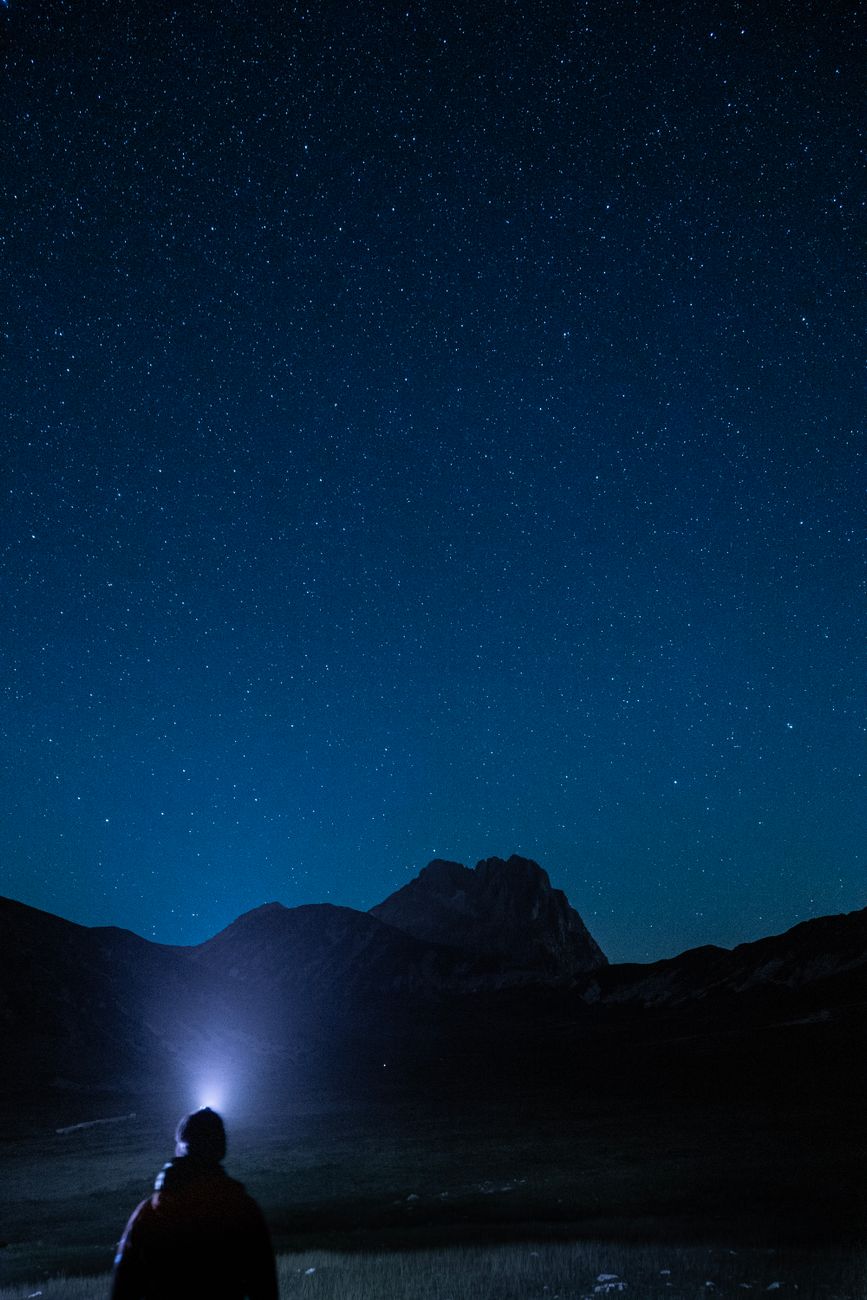
    Silhouette of a person under a starlit sky holding a flashlight

    Frequently Asked Questions

    Is Poncha Springs a good place to stargaze?

    Yes — the elevation, low humidity, and minimal nearby light pollution create conditions similar to Colorado’s officially certified Dark Sky Places.

    Is there a certified Dark Sky Park near Poncha Springs?

    Yes — Great Sand Dunes National Park, about two hours south, is an International Dark Sky Park.

    When is the best time to stargaze?

    Around the new moon, when the sky is darkest, and ideally on a clear night without cloud cover.

    Do I need special equipment to stargaze here?

    No — naked-eye viewing is genuinely rewarding at this elevation; binoculars or a telescope simply add more detail.

    How cold does it get at night for stargazing?

    Temperatures drop quickly after sunset at this elevation even in summer; bringing warmer layers than daytime weather suggests is a good precaution.

    Can I see the Milky Way from Poncha Springs?

    On a clear, moonless night away from town lighting, yes — the elevation and low humidity here support genuinely good naked-eye viewing.

    Is Great Sand Dunes worth visiting just for stargazing?

    Many visitors combine it with daytime dune hiking, making it worth the trip on its own merits beyond just the night sky. See our Great Sand Dunes road trip guide.

    Planning a stargazing stop? Check our Great Sand Dunes road trip guide for the drive to Colorado’s nearest certified Dark Sky Park.

    For information on certified Dark Sky Places and stargazing best practices, see DarkSky International.

  • Wildlife Viewing Near Poncha Springs, Colorado

    Wildlife Viewing Near Poncha Springs, Colorado

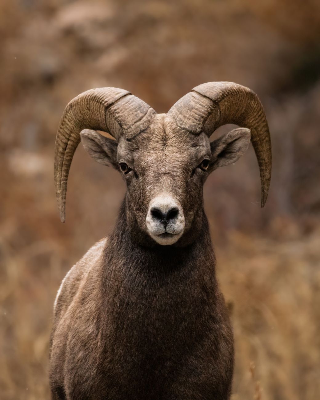
    The Arkansas River Valley around Poncha Market in Poncha Springs holds some of Colorado’s most reliably visible wildlife — bighorn sheep, elk, mule deer, and a wide range of raptors and waterfowl, several of them viewable without leaving your car.

    Bighorn sheep are Colorado’s state mammal, and this stretch of Chaffee County is one of the more dependable places in the state to actually see one, rather than just knowing they exist somewhere in the mountains.

    Wildlife viewing here doesn’t require a dedicated safari-style trip either — a lot of it happens along regular roads and pull-offs that travelers are already driving past on their way to or from Poncha Springs, provided they know roughly where and when to look.

    Love Ranch Wildlife Observatory

    In Chalk Creek Canyon, west of Nathrop, Love Ranch is widely considered the best specific spot to view bighorn sheep in the area — a grassy, forested location with a feeding station and a dedicated wooden observatory built specifically for wildlife viewing. It’s reached via CR 162, about five or six miles west of US-285.

    Because it’s an established, purpose-built viewing site rather than a chance roadside sighting, Love Ranch offers a meaningfully better shot at actually seeing sheep up close than simply driving through the area and hoping.

    Bringing binoculars adds meaningfully to the experience here, even though sheep at Love Ranch are often visible at a reasonable distance without them. A feeding station tends to concentrate animal activity in a fairly predictable area, which is part of why this specific spot outperforms simply scanning random hillsides while driving.

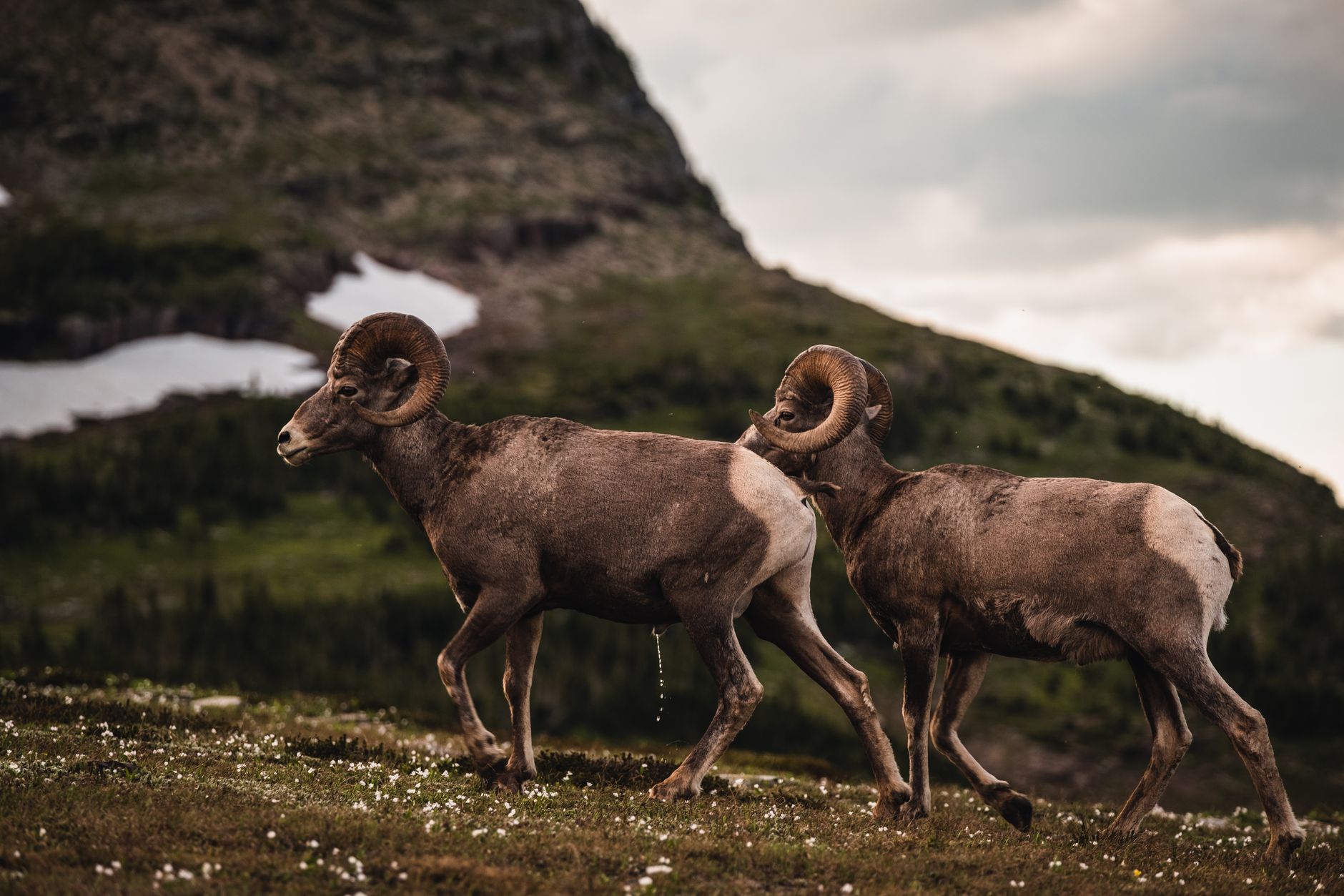
    Portrait of a bighorn sheep ram showcasing its curled horns

    Heckendorf Elk Reserve

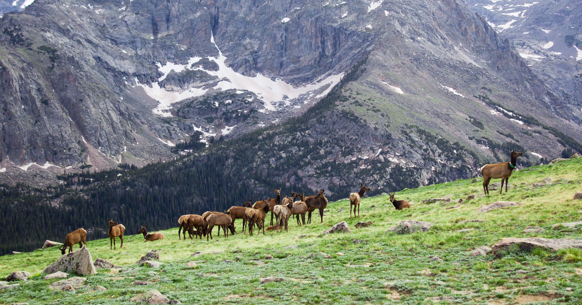
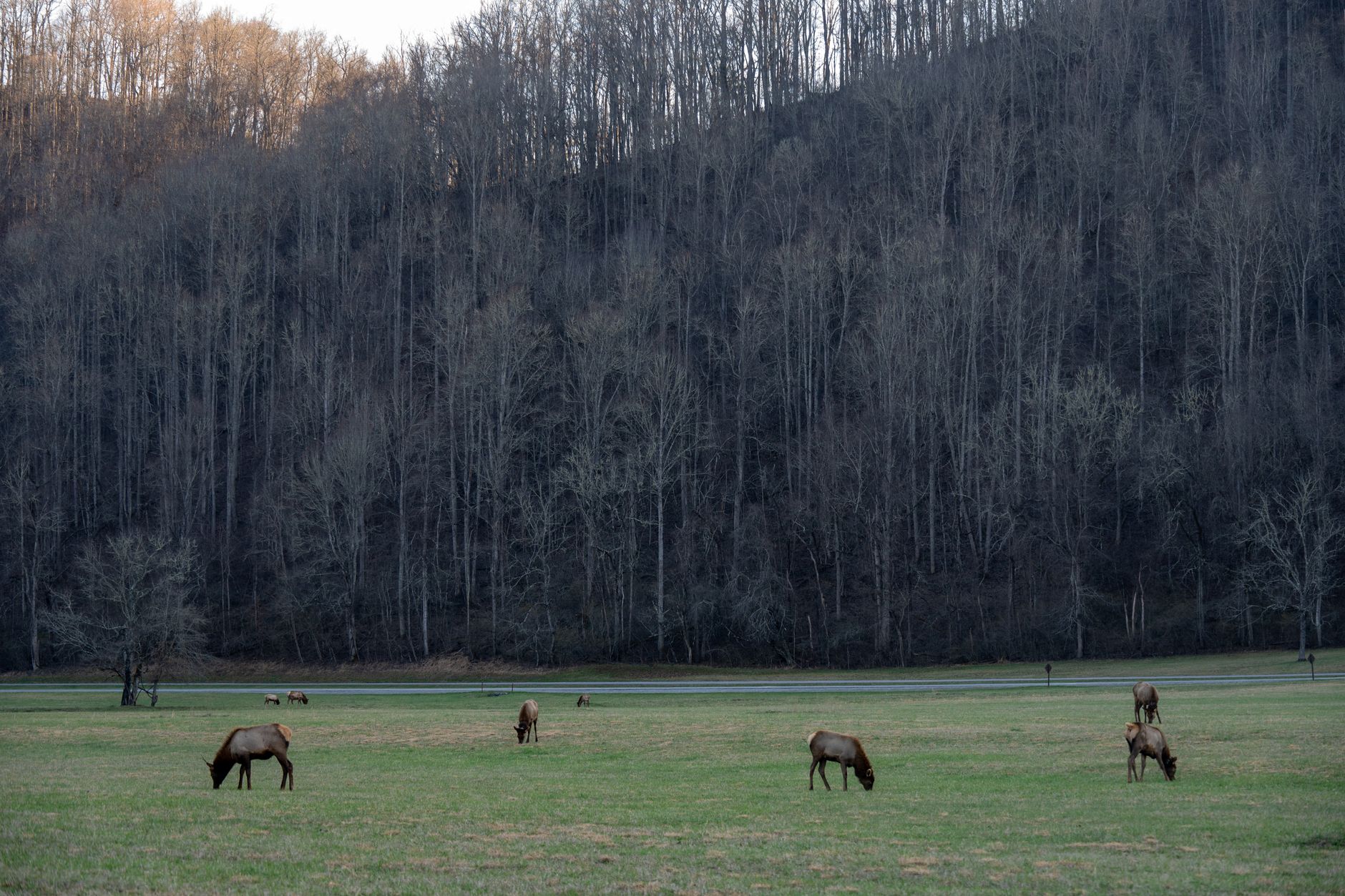
    Northwest of Buena Vista, Heckendorf Elk Reserve is dedicated specifically to elk herds that have roamed this valley for generations. Elk sightings here are common enough that it’s worth building into a wildlife-focused day trip alongside Love Ranch, particularly in early morning or evening when elk are most active.

    Fall brings an additional reason to visit: elk rutting season, when bulls become noticeably more vocal and active as they compete for mates. It’s one of the more dramatic wildlife displays available in the area, and worth timing a fall visit around if elk behavior specifically interests you.

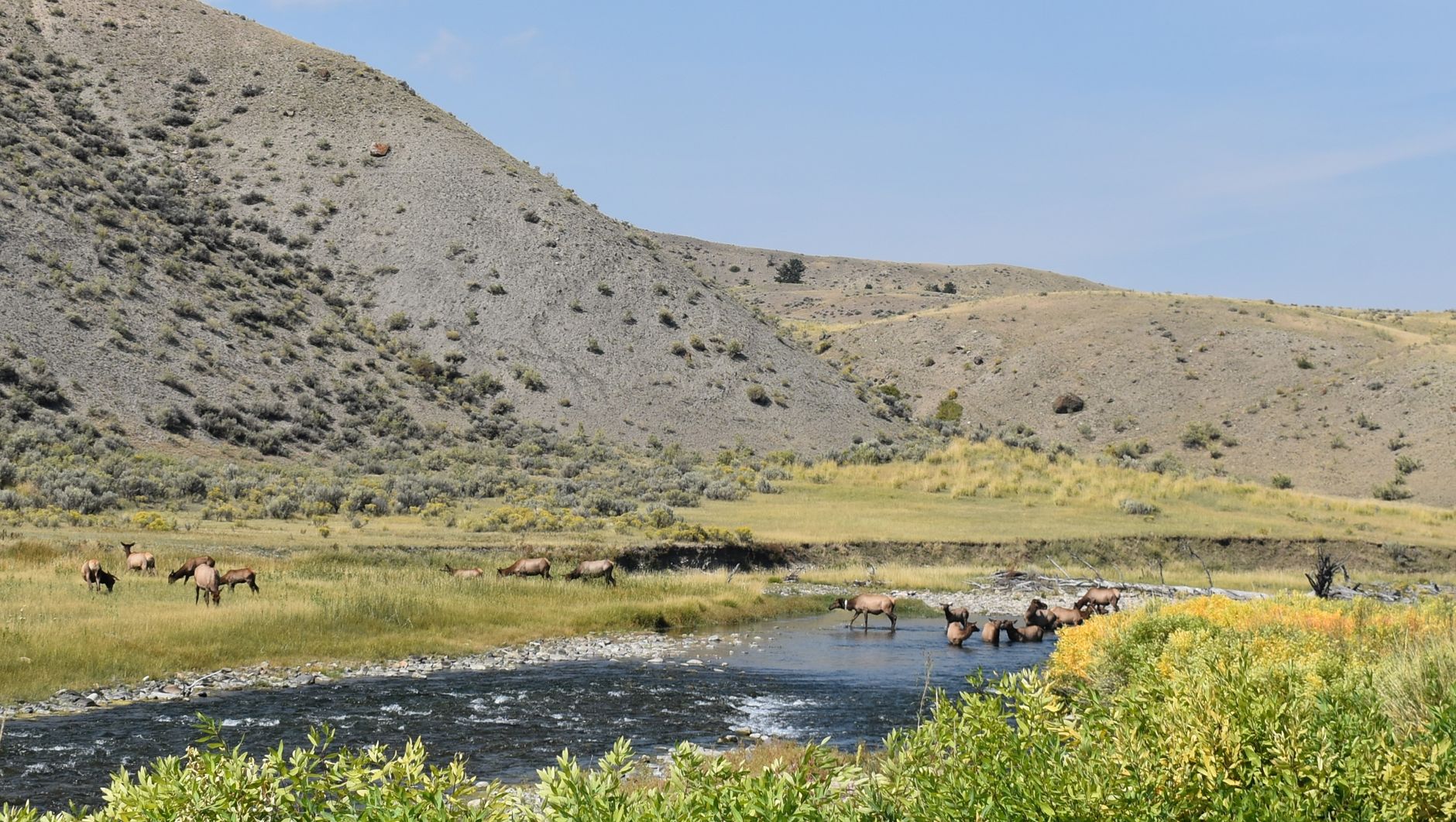
    A peaceful scene of an elk herd grazing by a flowing river in the mountains

    Clear Creek Reservoir State Wildlife Area

    Centered around the largest lake in Chaffee County, Clear Creek Reservoir supports breeding birds including Common Merganser and Osprey, with occasional California Gull sightings. Bighorn sheep are also viewable in the canyon near Granite, further reinforcing how much of this specific stretch of Colorado supports reliable sheep populations.

    A herd of elk grazing on a grassy hillside in the Rocky Mountains

    What Else You Might See

    • Mule deer are common right in town in Salida and Buena Vista, not just in the surrounding backcountry.
    • Pronghorn are plentiful in the open valley floor sections away from the river corridor.
    • Eagles, hawks, wild turkeys, ducks, and geese are regularly spotted throughout Chaffee County, particularly near water.
    • Mountain goats occasionally appear at higher elevations, though less predictably than bighorn sheep.
    A herd of elk grazing peacefully in a green meadow surrounded by mountains

    Best Times for Wildlife Viewing

    TimeWhat to Expect
    Early morningMost active window for elk and deer
    EveningSecond most active window, cooler temperatures
    FallElk rutting season, more vocal and visible activity
    MiddayGenerally quieter; animals rest during peak heat

    Planning a Wildlife-Focused Stop

    Poncha Market works well as a base for a wildlife day trip — fuel up, grab an early breakfast at Mabel’s Deli, and head out to Love Ranch or Heckendorf while animals are still most active, rather than starting later in the day once the best viewing window has passed.

    Because wildlife viewing rewards patience more than speed, planning enough time at each location rather than rushing between multiple spots tends to produce better results. A quiet, unhurried half-hour at Love Ranch often beats a rushed five-minute stop at three different locations.

    Respecting distance from any animal you spot — particularly elk during rutting season or bighorn sheep near young lambs — is both a safety consideration and simple courtesy toward wildlife that isn’t accustomed to close human approach, even at established viewing areas.

    A telephoto camera lens or a decent pair of binoculars solves the “I want a closer look” problem without needing to actually close the physical distance — generally the better trade-off for both your safety and the animal’s comfort.

    This same principle applies to feeding wildlife, even at established viewing areas like Love Ranch — feeding wild animals, however well-intentioned, tends to habituate them to humans in ways that ultimately put both the animals and future visitors at greater risk.

    Chaffee County Wildlife also draws serious hunters during regulated seasons, a separate but related activity that requires its own licensing and awareness of current regulations — worth knowing if you’re visiting during fall months when hunting season overlaps with the same areas covered here for casual wildlife viewing.

    Whether you’re viewing, photographing, or simply passing through, treating this valley’s wildlife with the same respect and distance that experienced locals do is what keeps these viewing opportunities available for the next visitor after you.

    A wildlife-focused day trip through this part of Chaffee County pairs naturally with the region’s other outdoor draws covered elsewhere in this series — a morning at Love Ranch, an afternoon soak at the nearby hot springs, and dinner back at Poncha Market makes for a genuinely full day without excessive driving between stops.

    Frequently Asked Questions

    Where can I see bighorn sheep near Poncha Springs?

    Love Ranch Wildlife Observatory in Chalk Creek Canyon, west of Nathrop, is widely considered the best dedicated viewing spot in the area.

    When is the best time of day to see wildlife?

    Early morning and evening are generally the most active windows for elk and deer; midday tends to be quieter.

    Is Colorado’s state mammal the bighorn sheep?

    Yes, and this stretch of Chaffee County is one of the more reliable places in the state to actually see one.

    Are there elk near Poncha Springs?

    Yes — Heckendorf Elk Reserve northwest of Buena Vista is specifically dedicated to elk herds in this valley.

    What birds can I see in Chaffee County?

    Common Merganser, Osprey, and occasionally California Gull at Clear Creek Reservoir, along with eagles, hawks, and waterfowl throughout the county.

    Do I need binoculars for wildlife viewing here?

    They’re not strictly necessary, especially at Love Ranch where a feeding station concentrates sheep activity, but they meaningfully improve the experience at most viewing spots.

    When is elk rutting season near Poncha Springs?

    Fall, when bulls become more vocal and active competing for mates — a particularly good time to visit Heckendorf Elk Reserve.

    Planning a wildlife trip? Fuel up at Poncha Market before an early start, or pair it with a visit to Salida.

    For broader wildlife viewing guidance across Colorado, see the U.S. Fish and Wildlife Service.

  • Pet-Friendly Road Trip Guide Through Poncha Springs, Colorado

    Pet-Friendly Road Trip Guide Through Poncha Springs, Colorado

    Traveling with a dog changes the shape of a road trip — more frequent stops, different priorities at each one, and a bit more planning around where your pet can actually get out and move. Poncha Market in Poncha Springs, at the US-50/US-285 junction, works well as one of those stops.

    This guide covers practical tips for traveling with pets through this part of Colorado, not just generic road trip advice repackaged for dog owners.

    Central Colorado’s combination of highway corridors, small towns, and genuine outdoor access makes it a reasonably good region for traveling with a dog, provided you plan around a few specific factors that don’t come up on a flatter, lower-elevation road trip.

    Before You Leave: Basics That Matter More on a Long Drive

    • Always clean up after your dog, and check local leash laws before assuming off-leash time is available anywhere you stop.
    • Health and safety rules around pets on patios and outdoor dining areas vary by location and can change; don’t assume a previously pet-friendly spot still allows dogs outside a fence line.
    • Bring your own water and a bowl rather than relying on finding one at every stop, especially at higher elevations where dogs dehydrate faster than at sea level.
    • Plan stops roughly every two to three hours for a bathroom break and a chance to stretch, more frequently than you might otherwise plan for yourself alone.
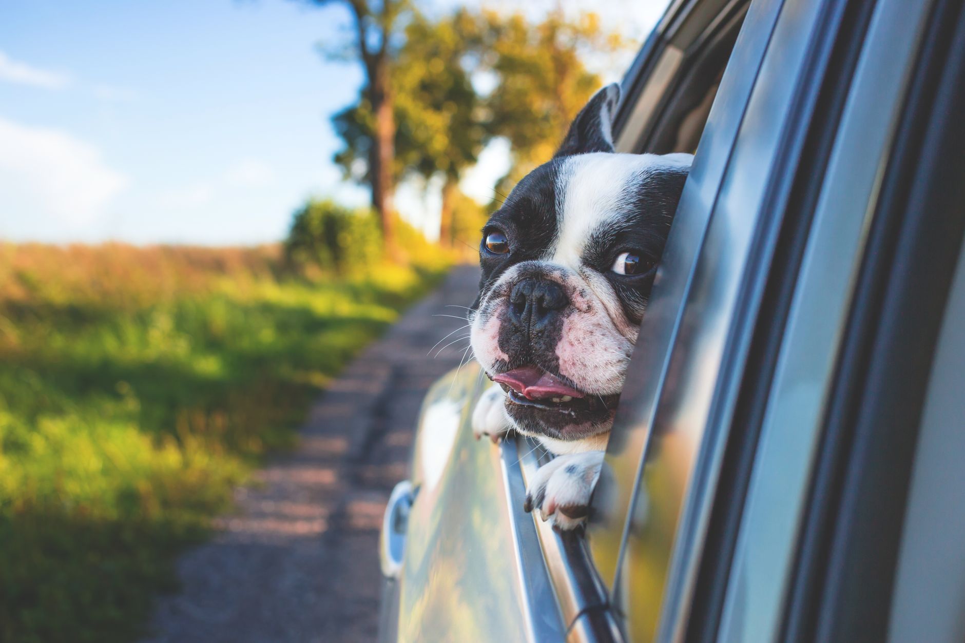
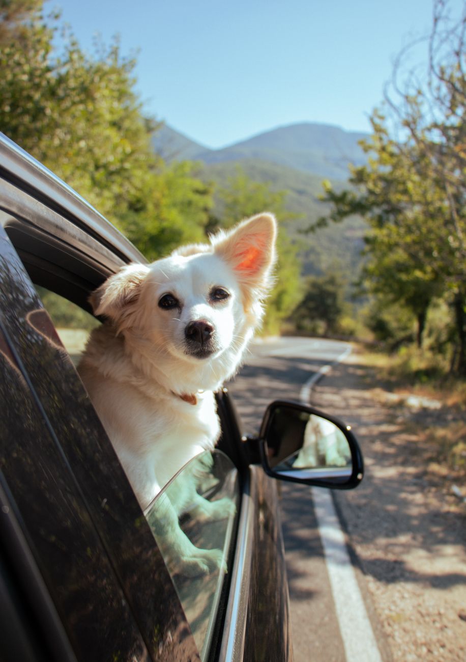
    A dog looks out of a car window on a scenic mountain road

    Why a Highway Junction Stop Works Well With Pets

    Unlike a downtown stop that requires finding parking and navigating a busier area, Poncha Market sits directly on the highway with easy pull-in access — a practical advantage when you’re managing a dog along with a fuel stop or bathroom break and don’t want to add a town detour to the process.

    That kind of simplicity matters more than it sounds like on a longer trip. Every additional decision point — where to park, whether there’s grass nearby, how far the walk is from the car — adds friction when you’re also managing a dog’s needs alongside your own, and a straightforward highway stop removes several of those decisions at once.

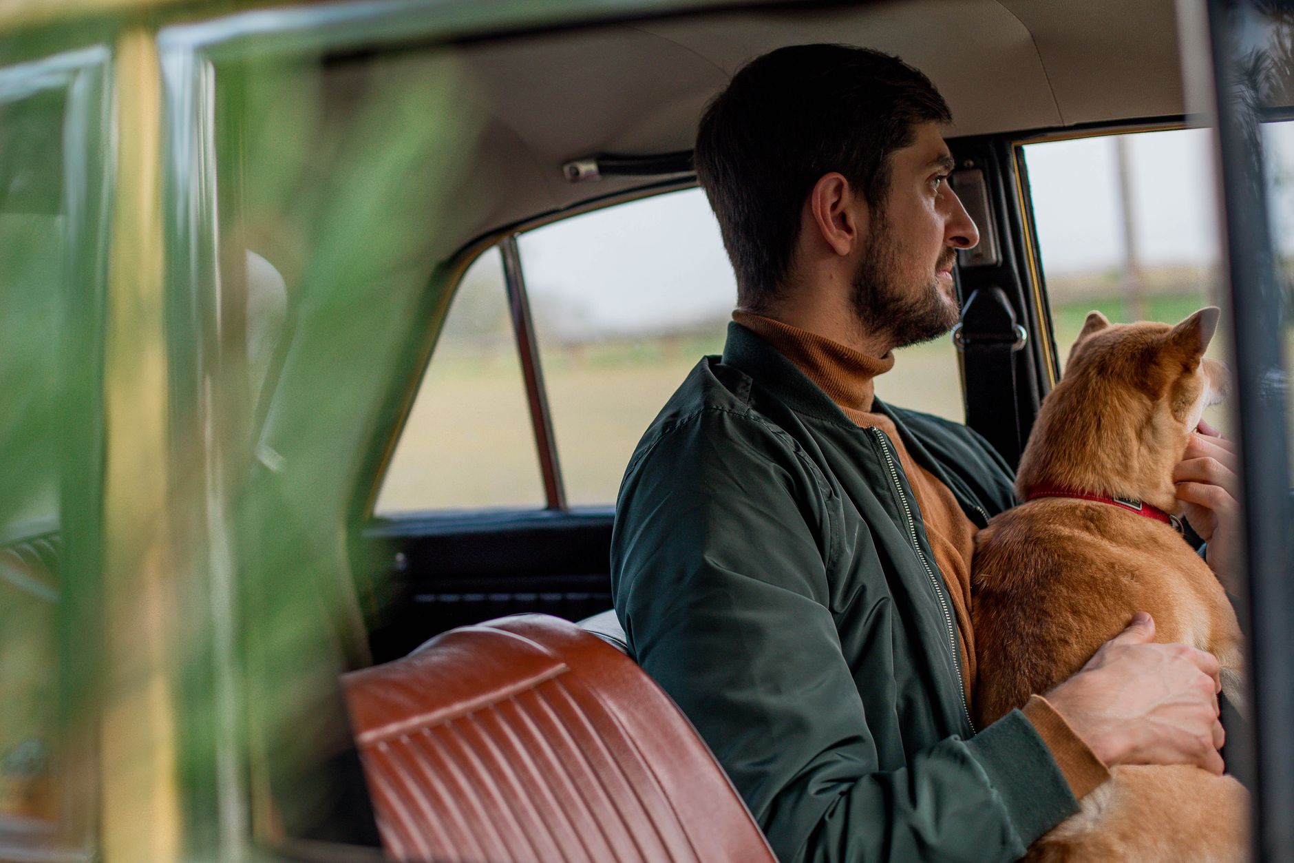
    A man and his dog sitting in a car, gazing out the window together

    Getting Your Dog Out to Stretch

    If you have more time than a quick fuel stop, the wider Poncha Springs and Salida area has genuine dog-friendly hiking options nearby, including trails around Collegiate Peaks Wilderness to the north, where leashed dogs are permitted on most trails.

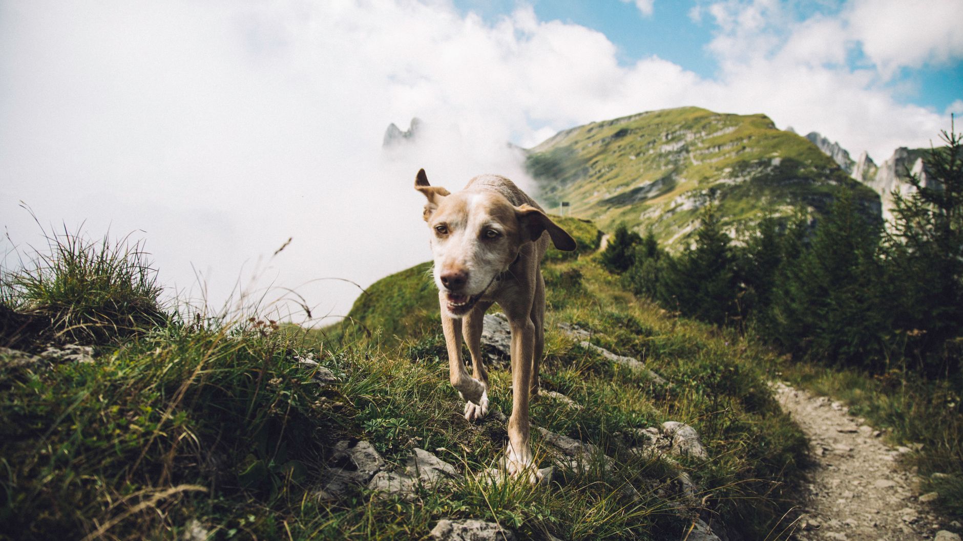
    A happy dog enjoys a hike on a picturesque mountain path

    Wilderness area regulations do require dogs to stay leashed, and group sizes and camping distances from trails and water are also regulated — worth reviewing before a longer hike with your pet in this specific area rather than assuming the same rules apply everywhere.

    It’s also worth checking individual trail conditions before bringing a dog along on anything more demanding than a short walk. Rocky, exposed terrain at altitude can be tough on paws that aren’t conditioned for it, and a dog that tires out miles from the trailhead becomes a genuine problem rather than a minor inconvenience.

    Altitude and Your Dog

    Dogs can be affected by altitude changes similarly to people — reduced stamina, faster dehydration, and in some cases more serious altitude-related symptoms in dogs with existing heart or respiratory conditions. If you’re bringing a dog from a much lower elevation, building in extra rest and water breaks during the first day or two at altitude is a reasonable precaution.

    Watch for signs of altitude discomfort beyond simple tiredness — excessive panting, lethargy well beyond what a normal walk would cause, or reluctance to keep moving are all worth taking seriously rather than pushing through, particularly on a first day at elevation.

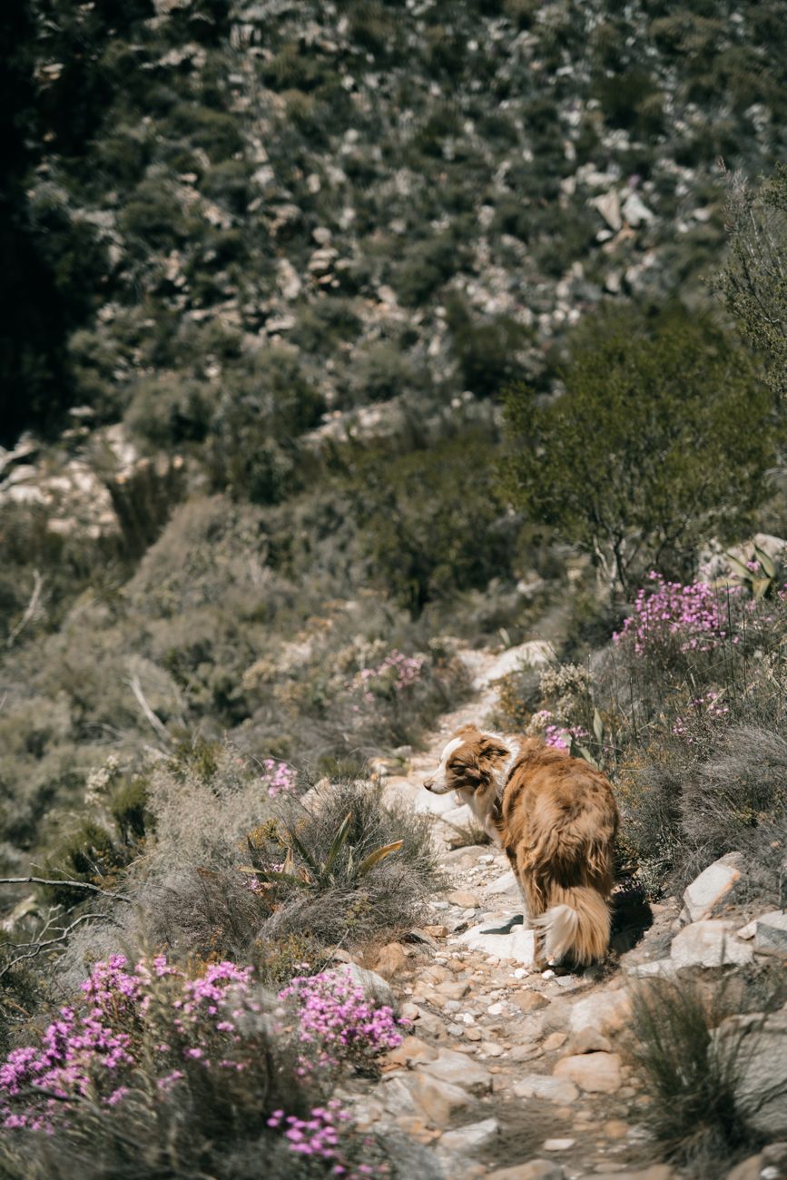
    A dog explores a scenic rocky trail surrounded by vibrant wildflowers

    Winter Travel With Pets

    If you’re traveling through in winter, keep in mind that cold pavement and ice at rest stops can be uncomfortable or even harmful to a dog’s paws during longer waits — something worth considering if you’re navigating Poncha Pass or Monarch Pass in poor conditions and need to stop for an extended period.

    Dog booties are a reasonable investment for winter travel through this corridor if your pet will be spending real time outside the car rather than just a quick bathroom break — ice, salt, and sharp-edged packed snow can all cause paw irritation over an extended stop.

    Never leave a dog unattended in a parked vehicle for more than a few minutes, regardless of season — both summer heat and winter cold inside a parked car can become dangerous far faster than most owners expect, even with cracked windows.

    A well-planned pet-friendly road trip through this corridor ultimately isn’t that different from planning one anywhere else in mountain country — the fundamentals of hydration, rest breaks, and temperature awareness just carry a bit more weight given the altitude.

    Bringing your pet’s regular food rather than switching brands mid-trip is also worth doing, since sudden diet changes combined with travel stress and altitude can upset a dog’s stomach in ways that are inconvenient at best on a road trip.

    A man with his dog hikes along a trail with snow-covered mountains looming

    Frequently Asked Questions

    Are dogs allowed at Poncha Market?

    Outdoor areas are generally more accommodating for pets than indoor food service areas; check current signage and ask staff about specific policies during your visit.

    Is Collegiate Peaks Wilderness dog-friendly?

    Yes, leashed dogs are permitted on most trails, though wilderness regulations require leashes and set rules for camping distance from water and trails.

    Does altitude affect dogs?

    Yes, similarly to people — expect reduced stamina and faster dehydration, with extra caution warranted for dogs with existing heart or respiratory conditions.

    How often should I stop for my dog on a road trip?

    Roughly every two to three hours for a bathroom break and a chance to stretch, more frequently than a typical stop schedule for a solo traveler.

    Can I hike with my dog near Poncha Springs?

    Yes — the surrounding Collegiate Peaks Wilderness area offers leashed-dog-friendly trails within a reasonable drive.

    What are signs my dog is struggling with altitude?

    Excessive panting, unusual lethargy, or reluctance to keep moving are all worth taking seriously, especially on a dog’s first day at a significantly higher elevation than home.

    Should I bring my own water for my dog?

    Yes — don’t assume you’ll find a water source at every stop, especially on trails or at higher elevations where dehydration happens faster.

    Do dogs need booties in winter here?

    If they’ll be spending real time outdoors during a winter stop, booties are a reasonable precaution against ice, salt, and sharp packed snow irritating their paws.

    Are there leash laws to know about near Poncha Springs?

    Local leash laws vary by specific location, and wilderness areas like Collegiate Peaks require leashed dogs at all times — check current rules for wherever you’re specifically stopping.

    Traveling with a pet? Stop at Poncha Market for an easy roadside break, or see our Collegiate Peaks hiking guide for dog-friendly trails.

    For general guidance on traveling with dogs, see the American Kennel Club.

  • Arkansas River Fly Fishing Guide Near Poncha Springs, Colorado

    Arkansas River Fly Fishing Guide Near Poncha Springs, Colorado

    The Arkansas River, running past Browns Canyon just north of Poncha Market in Poncha Springs, holds 102 miles of Gold Medal water — the longest contiguous stretch of Colorado’s highest fishing designation anywhere in the state.

    For anglers passing through central Colorado, this is one of the most consistently productive trout fisheries in the country, and it’s close enough to a fuel and food stop that it’s genuinely worth planning a day around.

    Whether you’re a serious fly angler routing a trip specifically around this water, or a traveler who happens to have a rod in the trunk and an afternoon free, this stretch of the Arkansas rewards even a modest amount of planning.

    What Does “Gold Medal Water” Actually Mean?

    Colorado’s Gold Medal designation requires a river to consistently support a minimum trout population of 60 pounds per acre, with fish averaging at least 14 inches. The Arkansas River through this stretch holds roughly 170 pounds per acre — nearly three times the minimum requirement, which is part of why it has such a strong reputation among serious anglers.

    It’s a meaningful, biologically defined standard rather than a marketing label, and Colorado awards it to only a limited number of river stretches statewide. The Arkansas earning the longest contiguous Gold Medal stretch in the state is a genuine distinction, not an inflated claim.

    For context, most rivers never come close to that trout-density threshold, which is exactly why Gold Medal designation carries real weight among Colorado anglers rather than functioning as a vague quality label. A river holding nearly three times the required minimum, as this stretch of the Arkansas does, is genuinely exceptional water by any standard.

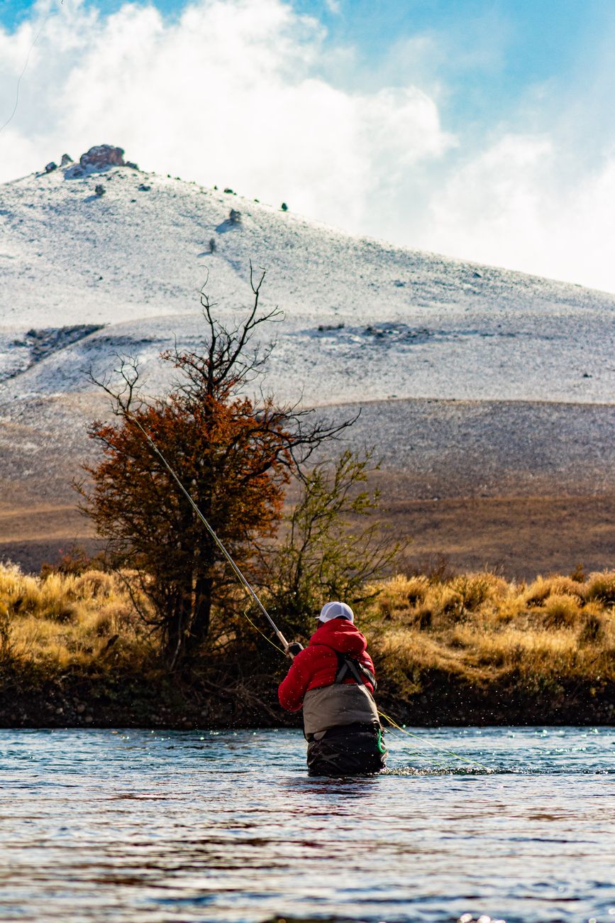
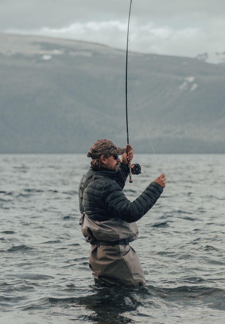
    An adult fly fisherman standing knee-deep in a mountain lake, casting a line

    Where to Fish Near Poncha Springs

    The Gold Medal stretch runs roughly 58 miles along US Highway 50 between Cañon City and Salida, putting a substantial portion of it within easy reach of Poncha Springs. Closer to town, a 7.5-mile stretch from the Stockyard Bridge downstream to Badger Creek is specifically noted as Gold Medal water with its own regulations.

    • Fishing along the Stockyard Bridge to Badger Creek stretch is limited to artificial flies and lures only, with a bag limit of up to four brown trout of any size.
    • Both rainbow and brown trout are present throughout the river, and anglers regularly use dry flies, nymphs, and streamers depending on conditions and time of year.
    • Fly shops in both Buena Vista and Salida stock tackle and flies, and several guide services in the area offer float and wade fishing trips for visitors unfamiliar with the specific water.
    • Public access points along US-50 between Salida and Cañon City make it possible to fish multiple stretches in a single day if you’re willing to move between spots.

    Because regulations can vary by specific stretch — bag limits, lure restrictions, and seasonal rules aren’t always uniform along the entire 102-mile designation — checking current Colorado Parks and Wildlife regulations for your exact planned location is worth doing before you cast the first line.

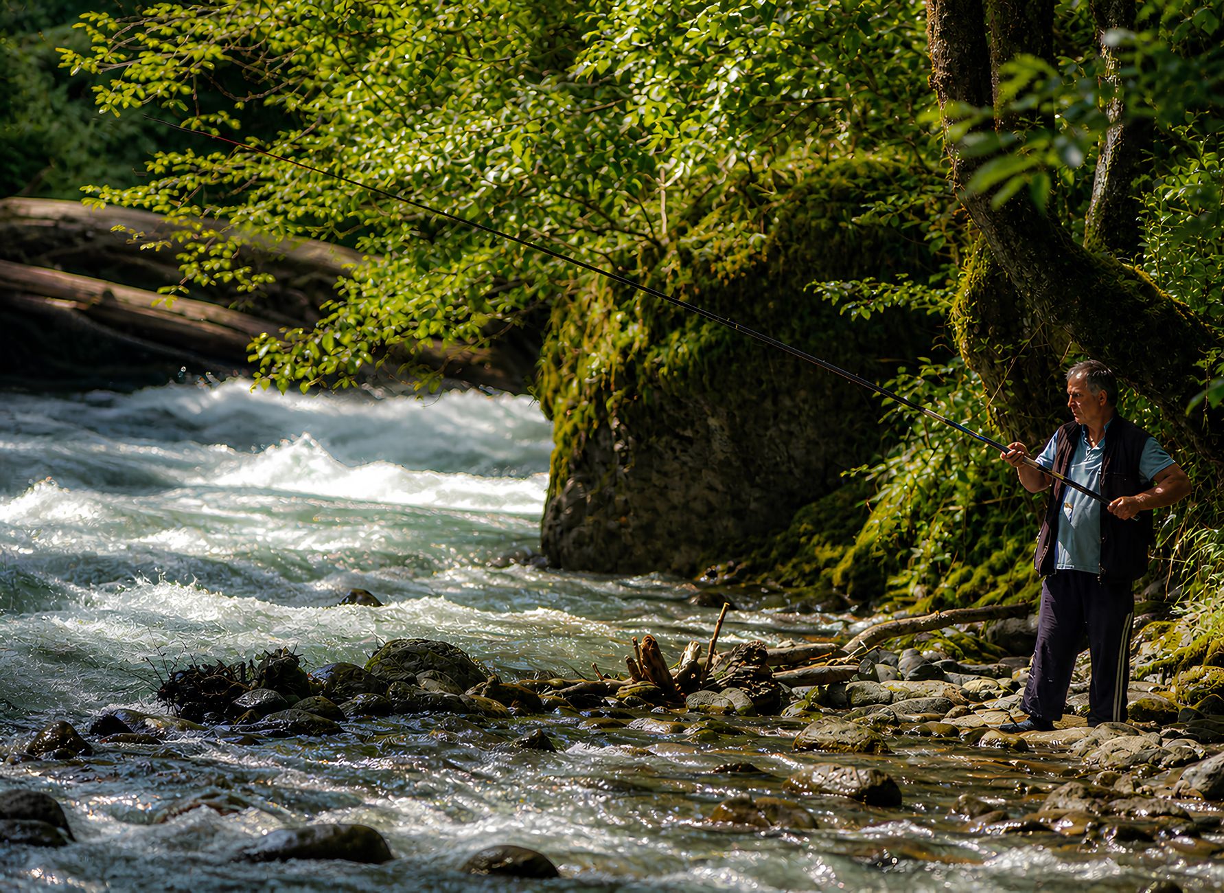
    A man fishing by a rushing mountain stream surrounded by lush greenery

    Wade Fishing vs. Float Trips

    StyleBest ForNotes
    Wade fishingAnglers who know specific access pointsRequires proper footwear and current-strength awareness
    Guided float tripFirst-timers or anyone unfamiliar with the riverCovers more water, guide provides local knowledge
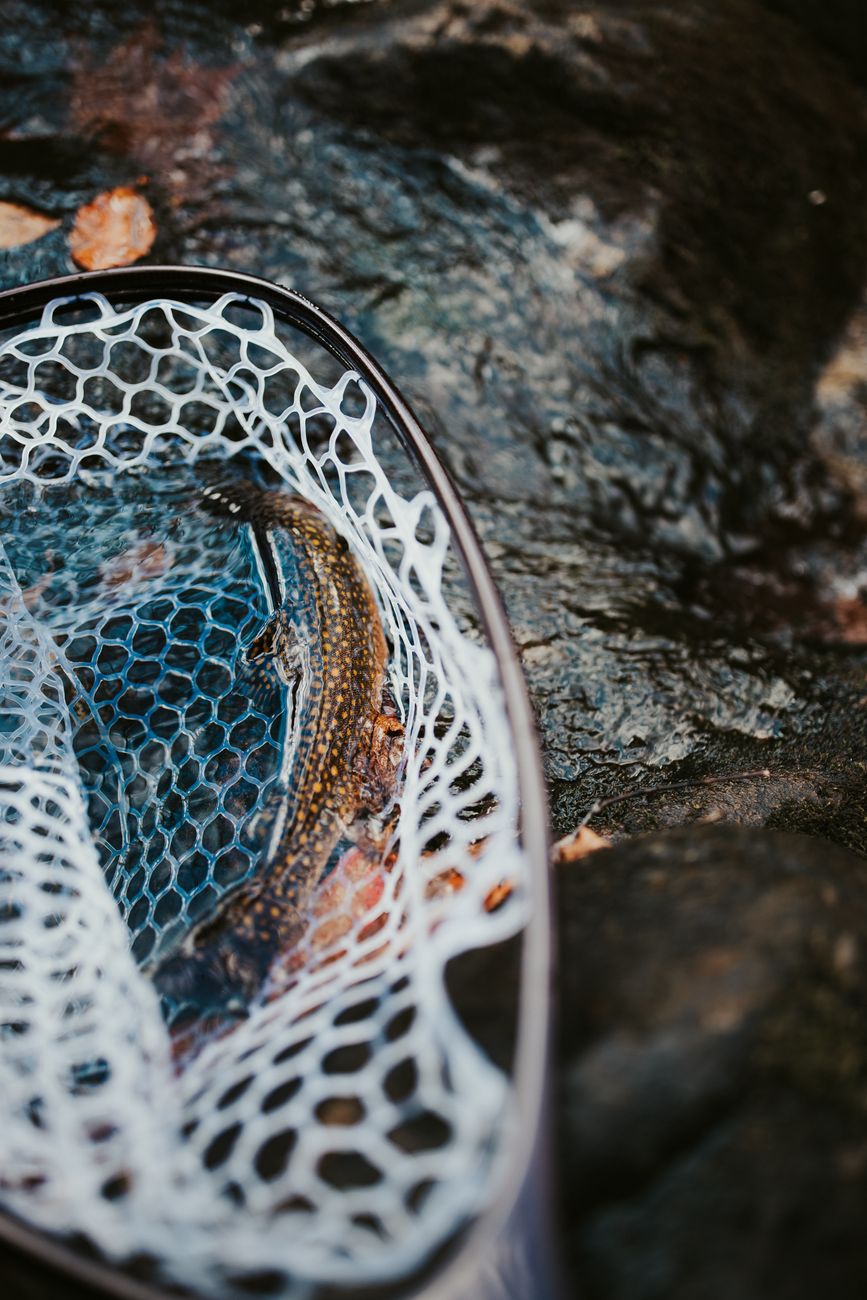
    A trout caught in a net resting on rocks beside a flowing stream

    When to Fish This Stretch

    Spring runoff typically raises and muddies the water considerably, making early summer through fall the more reliable window for consistent fly fishing conditions on this stretch. Fall, once flows drop and clear, is often considered one of the best windows of the year, with fewer rafters sharing the water than during peak summer runoff season.

    Summer months mean sharing the river with Browns Canyon rafting traffic during peak commercial rafting hours, which can affect both fish behavior and how peaceful a fishing session feels. Early morning fishing, before rafting trips typically launch, tends to offer calmer water and less competition for the best runs and pools.

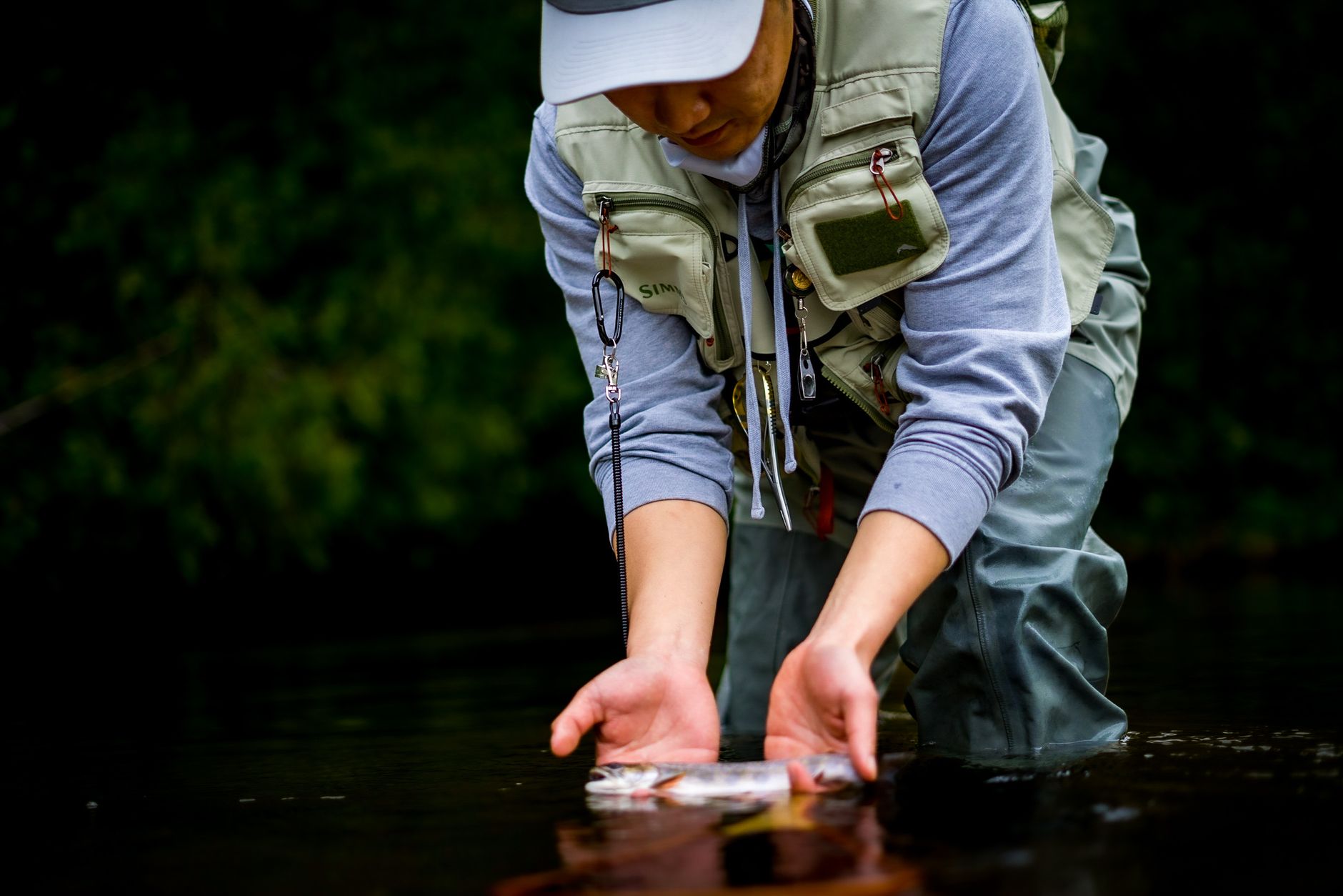
    Angler releasing a trout back into a creek during fly fishing

    Fueling Up for a Day on the Water

    Poncha Market is a practical stop for an early start — fuel, coffee, and a real breakfast before a long day of wading or floating, and a solid meal afterward once you’re back off the water and ready for something more substantial than trail snacks.

    A day of wade fishing at altitude, moving between runs and pools, adds up to real physical activity even without a fast-moving rafting current involved — refueling properly afterward matters more than it might for a purely sedentary sightseeing stop.

    Sun exposure is also worth planning for on a full day of river fishing — reflection off moving water adds to overall UV exposure beyond what the air temperature alone would suggest, especially at this elevation.

    Layered clothing that can go from a chilly morning start to a warm midday and back to a cool evening is worth packing regardless of the forecast, since river-adjacent temperatures can swing more than expected over the course of a full fishing day.

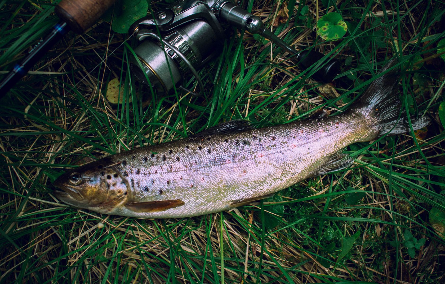
    Close-up of a brown trout on grass beside a fishing rod

    Frequently Asked Questions

    What is Gold Medal water?

    A Colorado designation requiring a river to consistently support at least 60 pounds of trout per acre averaging 14 inches or more; the Arkansas River holds roughly 170 pounds per acre through this stretch.

    How long is the Arkansas River’s Gold Medal stretch?

    102 miles total, the longest contiguous Gold Medal water stretch in Colorado.

    Do I need a guide to fish the Arkansas River?

    Not necessarily, but guided float trips are a practical option for anglers unfamiliar with specific access points and current conditions.

    What flies work best on the Arkansas River?

    Dry flies, nymphs, and streamers are all used depending on season and conditions; local fly shops in Salida and Buena Vista can advise on current hatches.

    When is the best time to fish near Poncha Springs?

    Early summer through fall generally offers more consistent conditions than spring runoff, with fall often considered a particularly good window.

    Do I need a Colorado fishing license?

    Yes, a valid Colorado fishing license is required for anyone 16 or older fishing anywhere in the state, including this stretch of the Arkansas River.

    Can I fish and raft the same day near Poncha Springs?

    Yes, though timing matters — early morning fishing before rafting traffic picks up tends to offer calmer, less crowded water.

    Is fly fishing here suitable for beginners?

    Yes, particularly with a local guide — the river’s variety of water types and strong trout population make it forgiving for anglers still learning technique.

    What trout species are in the Arkansas River?

    Both rainbow and brown trout are present throughout this stretch, with regulations sometimes varying by specific section.

    Planning a fishing day? Fuel up at Poncha Market, or pair it with a stop in Salida for tackle and supplies.

    For conservation information and regional fishing resources, see Trout Unlimited.