
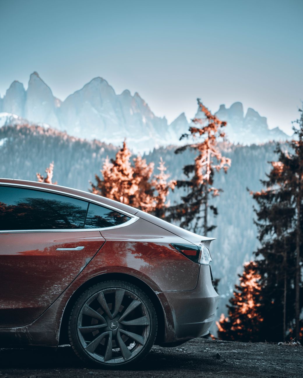
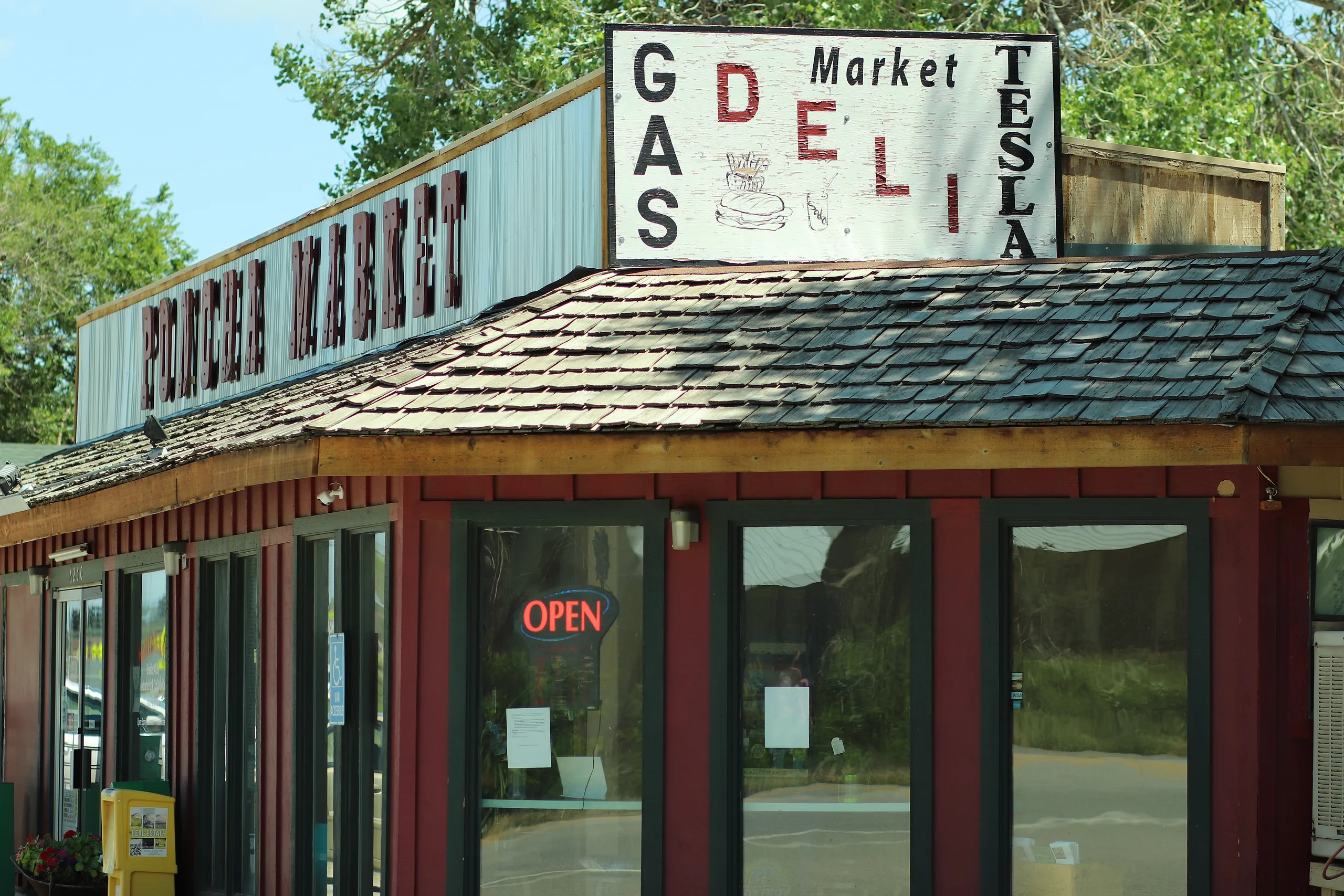
If you’re planning a Tesla road trip south from Denver, US Highway 285 is one of the most commonly used routes into central Colorado, and it runs directly to Poncha Market’s 8 Tesla Superchargers in Poncha Springs. This guide covers the drive itself, not just the charging station at the end of it.
It’s a route Tesla owners already use regularly — a well-known road trip pattern runs from Denver via US-285 through Fairplay to the Poncha Springs Supercharger, continuing on to destinations like Great Sand Dunes National Park before looping back through Pueblo or Colorado Springs.
What makes this route worth planning specifically, rather than just trusting the car’s navigation blindly, is the combination of real elevation change and a single, reliable charging point roughly at the midpoint of most southern Colorado itineraries. Understanding the shape of the drive in advance means fewer surprises once you’re actually on the road.
The Route: Denver to Poncha Springs
From the Denver metro area, US-285 heads southwest through the foothills, climbs Kenosha Pass into the South Park basin, passes through Fairplay, crosses Trout Creek Pass, and descends into Poncha Springs at the US-50 junction — a drive of roughly 145 miles, typically taking about two and a half to three hours depending on traffic and conditions.
This route gains and loses elevation more than once along the way rather than climbing steadily the whole distance — Kenosha Pass, a drop into the relatively flat South Park basin, then a second climb over Trout Creek Pass before the final descent into Poncha Springs. That elevation profile matters for range planning more than the straight-line mileage alone would suggest, since climbing uses more energy than the equivalent flat-road distance.
Planning Your Charge
For most Tesla models, a full or near-full charge from Denver comfortably covers this distance without needing an intermediate stop, particularly in mild weather. Cold weather and mountain elevation gain both increase energy use, though, so checking your in-car trip planner before you leave — rather than relying on flat-road range estimates — is worth the extra minute.
The car’s own navigation and trip planning software will factor in elevation changes and current conditions automatically when Supercharger stops are needed, and will route you to Poncha Springs as a planned stop if your remaining charge and destination call for it.
It’s still worth double-checking that plan against real-world judgment rather than following it blindly, particularly in winter. If a storm is forecast over Kenosha Pass or Trout Creek Pass, arriving at Poncha Springs with more charge in reserve than the software strictly calculates gives you a buffer if road conditions slow you down or a detour becomes necessary.
What to Expect on Arrival
Poncha Market’s Supercharger station has 8 stalls, available 24/7, delivering up to 150kW — enough for most models to add well over 150 miles of range in the time it takes to eat a meal at Mabel’s Deli, located inside the same building as the chargers.
Because the deli is inside the same building rather than a separate walk across a parking lot, this stop works well for road trippers who don’t want to spend their charging time sitting in the car. Order first, then keep an eye on your charge percentage from a table rather than standing at the charger waiting.
Continuing Beyond Poncha Springs
Poncha Springs works well as a first charging stop for trips continuing further south or west. From here, common onward routes include continuing south over Poncha Pass toward the San Luis Valley and Great Sand Dunes National Park, or heading west on US-50 over Monarch Pass toward Gunnison.
Both onward routes climb meaningfully higher than Poncha Springs itself, which is exactly why fully charging here rather than treating it as a quick top-up matters more than it would before a flatter stretch of highway. A fuller charge before either climb gives you more margin if conditions or traffic slow the trip down.
Trip Planning at a Glance
| Leg | Distance | Drive Time | Charging Note |
|---|---|---|---|
| Denver to Poncha Springs | ~145 miles | ~2.5–3 hours | Often doable on one charge in mild weather |
| Poncha Springs Supercharger | — | 20–30 min typical stop | 8 stalls, 24/7, up to 150kW |
| Onward to Great Sand Dunes | ~95 miles | ~1.5 hours | Via Poncha Pass and CO-17 |
| Onward via Monarch Pass | ~25 miles to summit | ~30–40 min | Higher elevation, more winter caution needed |
Cold Weather Considerations
Winter driving from Denver adds two factors worth planning for: reduced range from cold temperatures and mountain elevation, and the possibility of slower going over Poncha Pass or Kenosha Pass in snow. Building in extra time, and arriving at Poncha Springs with more buffer than you’d need in summer, is a reasonable precaution rather than overcaution.
Preconditioning the battery before a Supercharging stop — something most Tesla models do automatically when a Supercharger is set as the navigation destination — helps charging speed in cold weather specifically. Setting Poncha Springs as an actual navigation stop, rather than just driving toward it, lets the car prepare the battery in advance rather than arriving cold.
Making the Drive Itself Part of the Trip
It’s easy to treat a Supercharger stop purely as a logistics checkpoint, but this particular stretch of Colorado rewards a slower approach. The scenery through South Park and along Trout Creek Pass is genuinely worth a photo stop or two, and building in a little slack time for that, rather than treating the drive as a straight-line dash to the charger, makes for a better trip overall — without meaningfully changing your total charging math or your arrival time by more than a few minutes.
Frequently Asked Questions
How far is Poncha Springs from Denver?
Roughly 145 miles via US-285, typically a two-and-a-half to three-hour drive.
Can I make it from Denver to Poncha Springs on one charge?
Often yes, in mild weather with a full charge, though cold weather and elevation gain both increase energy use, so checking your car’s trip planner before you leave is worth doing.
Is Poncha Springs a common Tesla road trip stop?
Yes — it’s a well-known stop on routes from Denver toward Great Sand Dunes National Park and other southern Colorado destinations, sitting directly on US-285.
What’s after Poncha Springs on this route?
Common continuations include south over Poncha Pass toward the San Luis Valley, or west over Monarch Pass toward Gunnison.
Are there other Superchargers between Denver and Poncha Springs?
Check your car’s in-car navigation for current Supercharger locations along your specific route, since network coverage is added and updated over time.
Does winter weather affect this route significantly?
Yes — both Kenosha Pass and Trout Creek Pass can see winter weather, and cold temperatures reduce EV range, so building in extra charge buffer and travel time during winter months is a reasonable precaution.
Is this route suitable for a first Tesla road trip?
Yes — it’s a well-traveled, well-documented route with a reliable charging stop roughly at the midpoint, making it a reasonable choice for a first longer EV road trip in Colorado.
Is there food available at Poncha Springs while charging?
Yes — Mabel’s Deli operates inside the same building as the Superchargers, making it easy to eat while your car charges rather than waiting in the parking lot.
Continuing your trip? See our Great Sand Dunes road trip guide or Monarch Pass driving guide for what’s next after Poncha Springs.
For community-sourced charging station information and trip planning, see PlugShare.
Leave a Reply