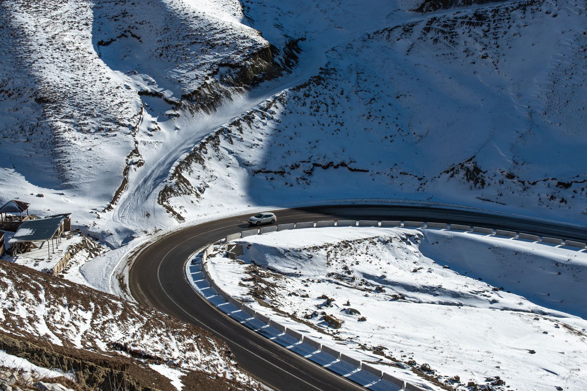
Cottonwood Pass climbs to 12,126 feet west of Buena Vista, making it the second-highest paved mountain pass in the United States, behind only Trail Ridge Road in Rocky Mountain National Park. It sits close enough to Poncha Market in Poncha Springs to be a realistic detour rather than a separate trip.
This guide covers what the drive actually involves, when it’s open, and why it’s worth the climb even if you’re not continuing all the way to Crested Butte on the other side.
It’s a drive that consistently shows up on lists of Colorado’s most scenic mountain roads, and unlike some equally scenic routes elsewhere in the state, it doesn’t require a full-day commitment to experience — a there-and-back trip from Buena Vista is entirely realistic in an afternoon.
How High Is Cottonwood Pass?
At 12,126 feet, Cottonwood Pass sits meaningfully higher than both Poncha Pass and Monarch Pass, the two other major passes in this part of central Colorado. Only Trail Ridge Road, at 12,183 feet, tops it among paved U.S. mountain passes.
That elevation puts the summit well above treeline, in genuine alpine tundra — a different landscape entirely from the forested climbs of Poncha Pass or the lower stretches of Monarch Pass, and part of why this drive has such a strong scenic reputation.
Being second only to Trail Ridge Road matters for context: Trail Ridge sits inside Rocky Mountain National Park with the infrastructure, visitor centers, and traffic that comes with a major national park road. Cottonwood Pass offers similarly extreme elevation without that same crowding, which is part of why locals often recommend it over more famous high-altitude drives.
The Route from Buena Vista
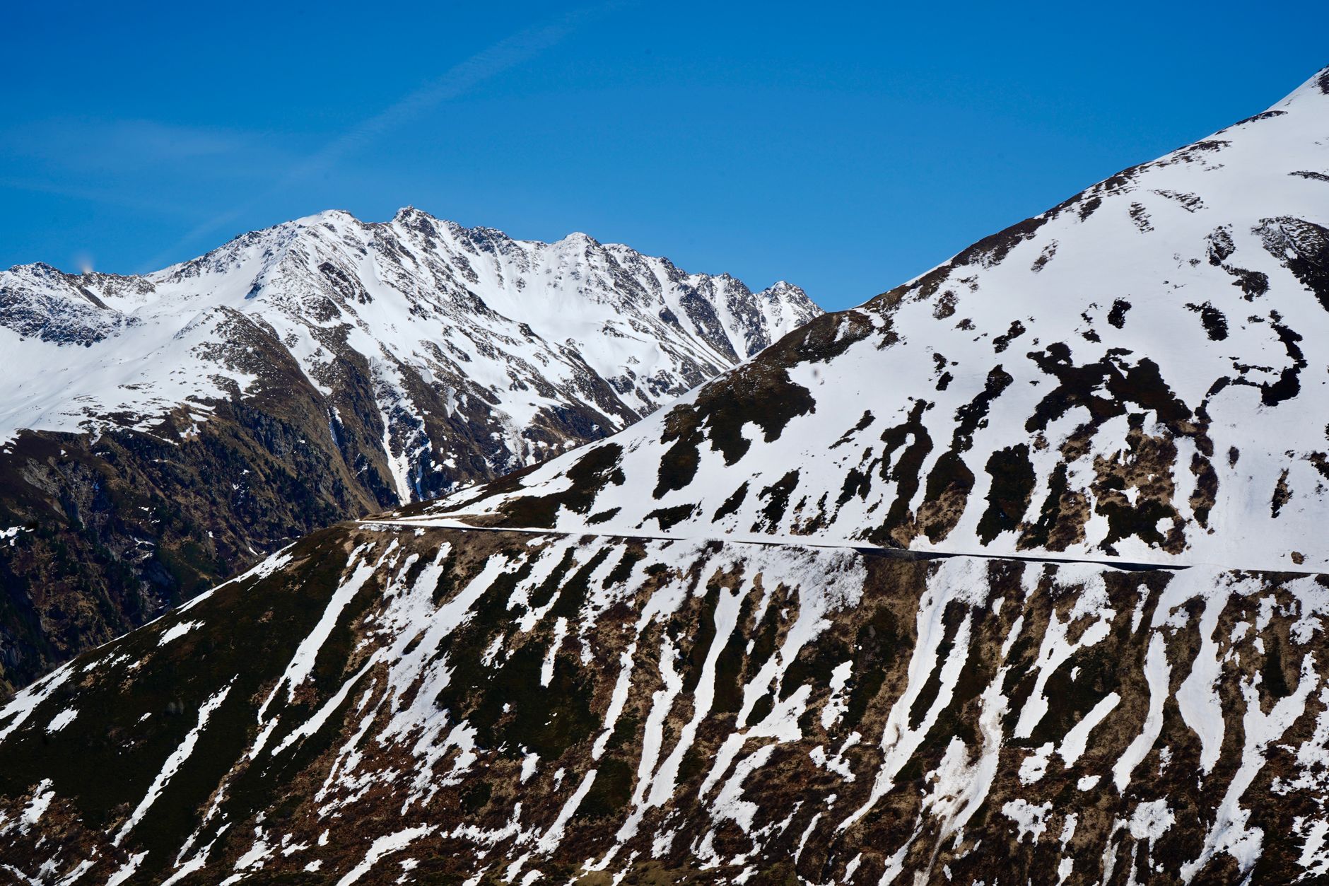
The full pass road runs about 31.7 miles from Buena Vista to County Road 742 near Taylor Park Reservoir, continuing on toward Crested Butte or Gunnison. From Buena Vista, it’s about an 18-mile drive west on County Road 306 to the summit — roughly 30 minutes each way if you’re just going up for the view and back.
Since 2019, the road has been fully paved the entire way from Buena Vista to Taylor Park Reservoir, which removed what used to be a rougher unpaved stretch near the top. That makes it accessible to a wider range of vehicles than it once was, though the elevation and exposure still call for normal mountain-driving caution.
Continuing past the summit toward Taylor Park Reservoir and on to Crested Butte or Gunnison makes for a genuine day-long scenic loop rather than a simple there-and-back, if you have the time and want to see more of the high country on the western side of the Divide.
A Genuine Alternative to Monarch Pass
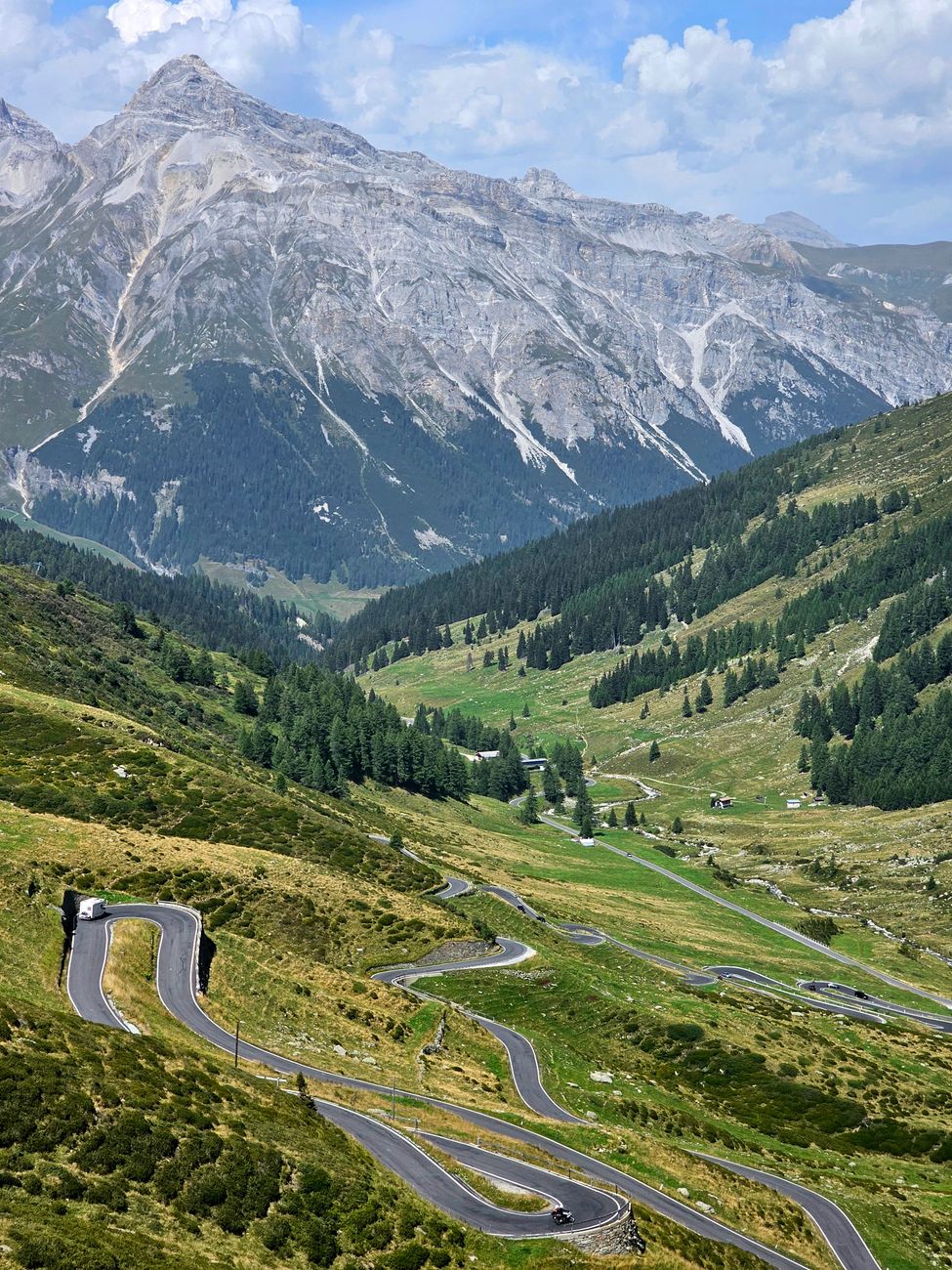
For travelers heading toward Crested Butte or Gunnison from the Poncha Springs area, Cottonwood Pass is a real alternative to Monarch Pass via US-50 — a different, arguably more scenic route between the same general regions, by way of Buena Vista instead of continuing straight west on US-50.
| Cottonwood Pass | Monarch Pass | |
|---|---|---|
| Elevation | 12,126 ft | 11,312 ft |
| Road surface | Fully paved since 2019 | Fully paved |
| Winter access | Closed November–late May | Open year-round, weather permitting |
| Character | High alpine tundra, very exposed | Forested lower sections, exposed near summit |
When Is Cottonwood Pass Open?
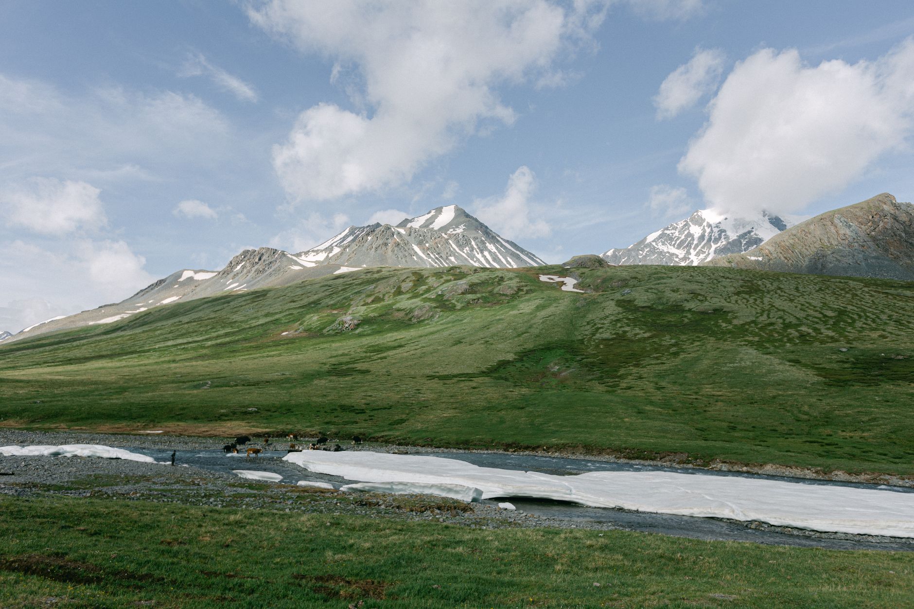
The road closes with the first significant snow, typically in November, and doesn’t reopen until late May at the earliest. Unlike Monarch Pass, which stays open year-round with caution, Cottonwood Pass is a genuinely seasonal route — check current status before planning a trip outside of summer or early fall.
This seasonal closure is worth building into any late-year or early-spring travel planning through the Buena Vista area. Unlike a pass that simply gets harder to cross in winter, Cottonwood Pass is fully gated and impassable, not just risky — so it’s not an option to attempt cautiously in poor conditions the way some other passes might be.
What to See at the Summit
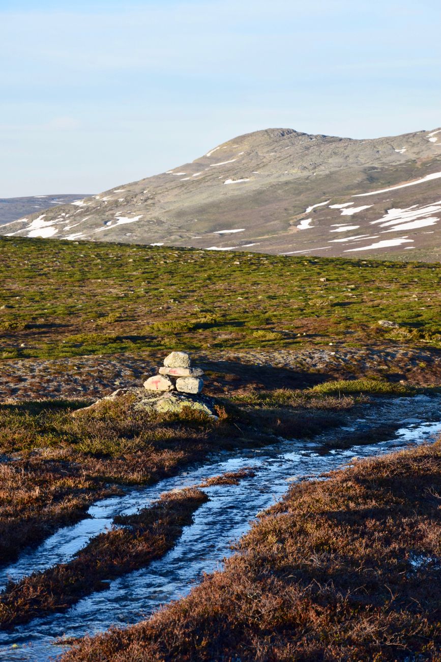
- Sweeping views of the Collegiate Peaks and the Sawatch Range from well above treeline.
- A popular sunset viewpoint, reachable via Buena Vista’s West Main Street, which becomes Highway 306 leading to the pass.
- Alpine tundra vegetation and wildflowers in summer, a genuinely different ecosystem than the forested drive up.
- Access to the Continental Divide Trail for hikers wanting to explore beyond the pull-off itself.
- A genuinely quieter experience than more heavily trafficked high-altitude overlooks elsewhere in Colorado, even during peak summer travel season.
The summit parking area also serves as a trailhead for several day hikes into the surrounding alpine terrain, worth considering if you want to get out of the car for more than a quick photo stop.
Planning the Drive
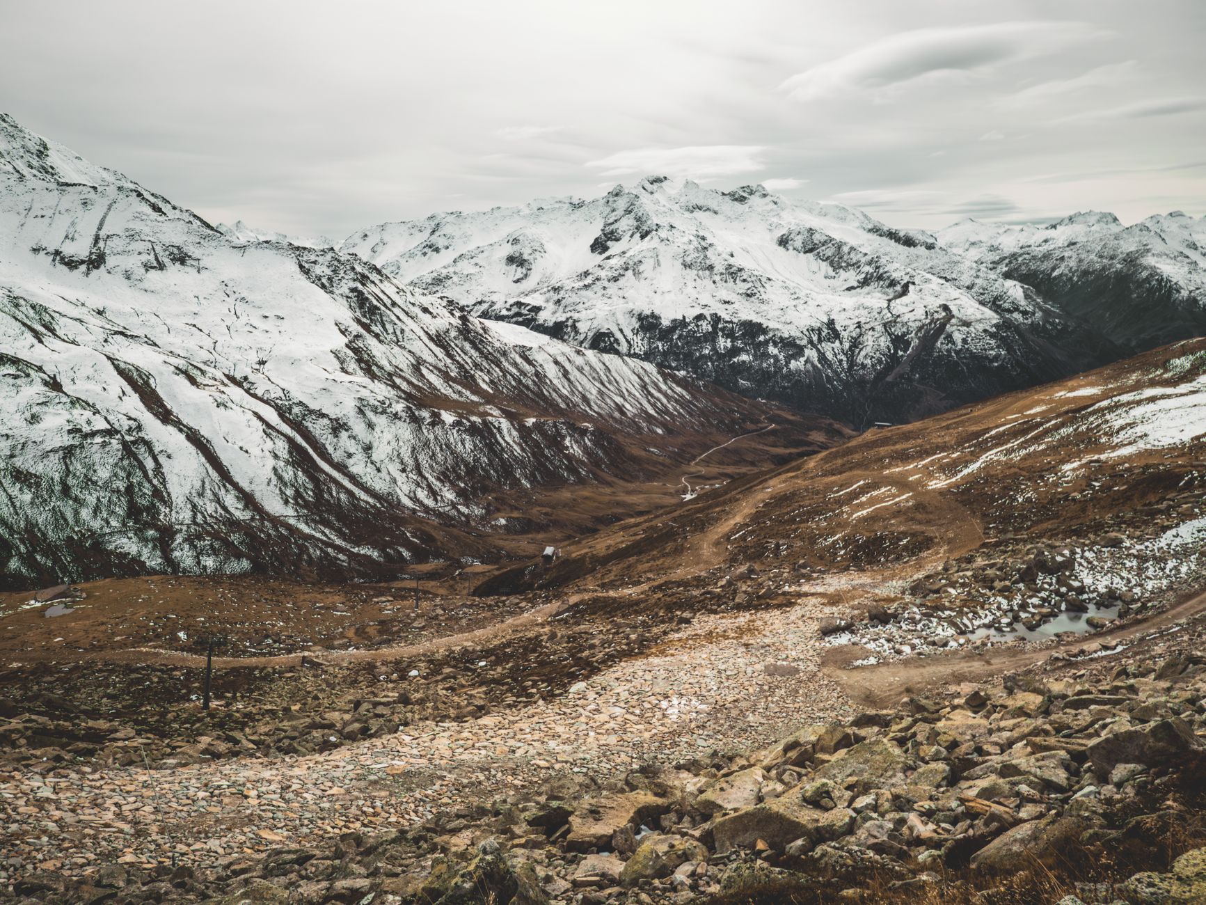
Because the summit sits well above 12,000 feet, weather changes fast and temperatures drop sharply compared to Buena Vista or Poncha Springs below. Even a warm summer day in town can mean a genuinely cold, windy stop at the top — pack a layer regardless of the forecast down in the valley.
Afternoon thunderstorms are also a real consideration at this elevation, the same way they are on any Colorado high pass in summer. An early departure from Buena Vista, rather than a leisurely afternoon start, gives you a better chance of clear conditions at the exposed summit.
For photographers specifically, early morning light at the summit tends to be both calmer weather-wise and more flattering than midday sun on the exposed alpine tundra, making an early start a doubly good decision for anyone hoping to bring back genuinely good photos from the trip.
Frequently Asked Questions
How high is Cottonwood Pass?
12,126 feet, making it the second-highest paved mountain pass in the United States after Trail Ridge Road.
Is Cottonwood Pass open in winter?
No — it closes with the first significant snow, typically in November, and reopens in late May at the earliest.
Is Cottonwood Pass paved the whole way?
Yes, as of 2019 the road is fully paved from Buena Vista to Taylor Park Reservoir.
Is Cottonwood Pass an alternative to Monarch Pass?
Yes — both connect central Colorado to the Gunnison and Crested Butte area, though via different routes and starting towns.
How far is Cottonwood Pass from Poncha Springs?
Roughly 30 to 40 minutes to Buena Vista, plus about 30 minutes from there to the summit.
Can Cottonwood Pass be driven all the way to Crested Butte?
Yes — the road continues past the summit to Taylor Park Reservoir and connects onward toward Crested Butte and Gunnison, making a full crossing possible in summer.
Is Cottonwood Pass suitable for RVs or trailers?
The pavement and grade are manageable, but the elevation and exposure at the summit mean the same general mountain-driving caution that applies to any high pass in this region also applies here.
Are there hiking trails at the Cottonwood Pass summit?
Yes — the summit parking area connects to the Continental Divide Trail and several day-hike options into the surrounding alpine terrain.
Comparing pass options? See our Monarch Pass driving guide and Buena Vista vs. Poncha Springs comparison.
For current forest road conditions and closures, see the U.S. Forest Service.

Leave a Reply