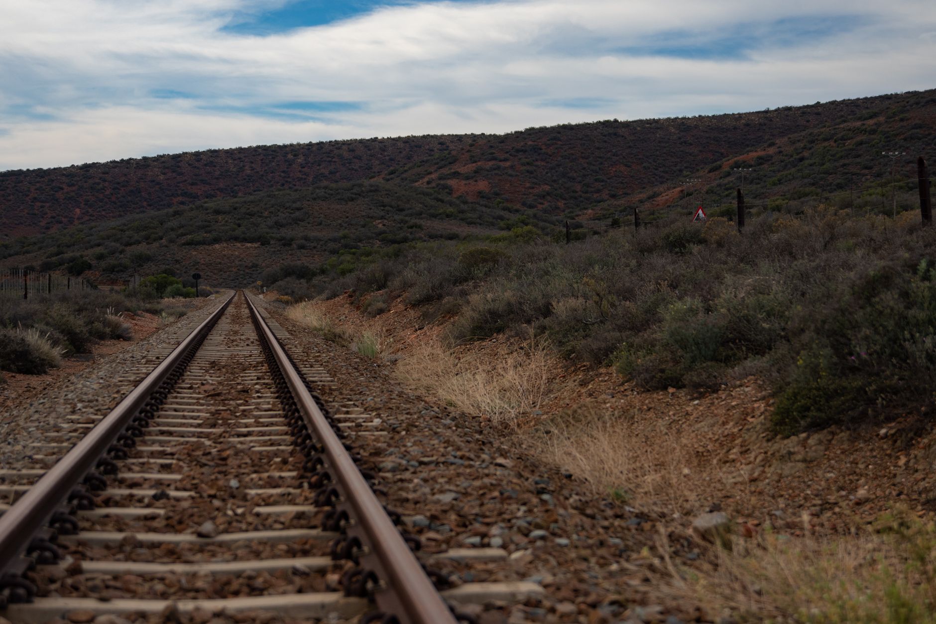
Unlike Poncha Pass and Monarch Pass, both paved highway crossings, Marshall Pass is a graded gravel road that begins just south of Poncha Market in Poncha Springs — and it comes with one of the more interesting histories of any route in the region.
This guide covers where it goes, why it’s shaped the way it is, and what it’s actually like to drive today.
Few backcountry roads anywhere in the country carry this direct a connection to a specific historical milestone — the first crossing of the Continental Divide by rail in Colorado — while still being an active, drivable route more than a century later.
From Toll Road to Railroad
Otto Mears, a prolific 19th-century Colorado road builder, cut a toll road across Marshall Pass in 1878, connecting his existing Poncha Pass toll road to the mining areas of Gunnison County to the west. That same year, Mears sold the Marshall Pass toll road to the Denver and Rio Grande Railroad for $40,000, and the stage road became a railroad grade instead.
Completed in 1881 as part of the Denver and Rio Grande, the line across Marshall Pass became the first railroad route to cross the Continental Divide in Colorado — a genuinely significant engineering milestone, not just a regional curiosity. Between 1879 and 1890, it was the only rail line connecting Denver to Salt Lake City and, by extension, the Pacific Coast.
For roughly a decade, essentially all rail freight and passenger traffic between Colorado and Utah moved over this single mountain crossing — a striking amount of significance for a route that today is a quiet gravel road most travelers have never heard of.
That gap between historical importance and modern obscurity is common throughout the American West, where 19th-century transportation corridors were frequently superseded by later highway routes chosen for different reasons — Marshall Pass just happens to be a particularly well-documented example of the pattern.
Driving it today with that history in mind changes the experience meaningfully. What could otherwise read as just another scenic gravel road becomes a tangible piece of the same transportation story that shaped why Poncha Springs exists as a junction town in the first place.
Combining a Marshall Pass drive with a stop at Chaffee County’s broader mining history gives a genuinely fuller picture of how transportation, mining, and settlement patterns all reinforced each other in this specific part of Colorado during the late 1800s.
Whether you drive the full 30-mile length or simply venture a few miles in from the Poncha Springs side and turn around, Marshall Pass offers a different way to experience this part of Colorado than the paved highways most travelers stick to exclusively.
The End of the Line
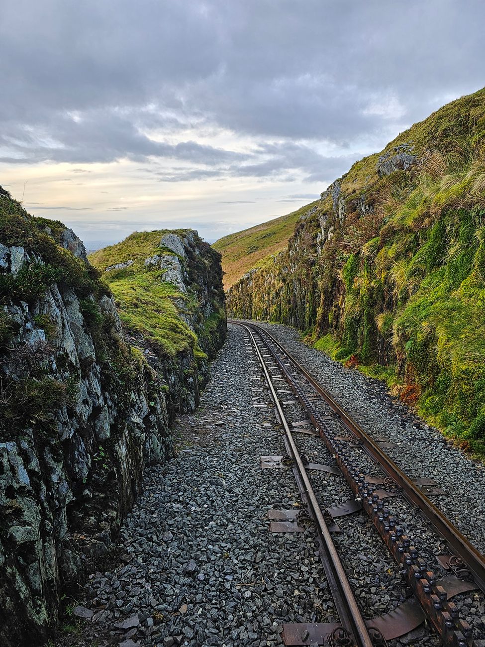
The narrow-gauge railway operated heavily for decades before finally shutting down in 1955, as changing transportation patterns and the rise of highway travel made the mountain rail route increasingly redundant. What’s left today is the graded roadbed the trains once ran on, repurposed as a scenic backcountry road.
Driving Marshall Pass Today
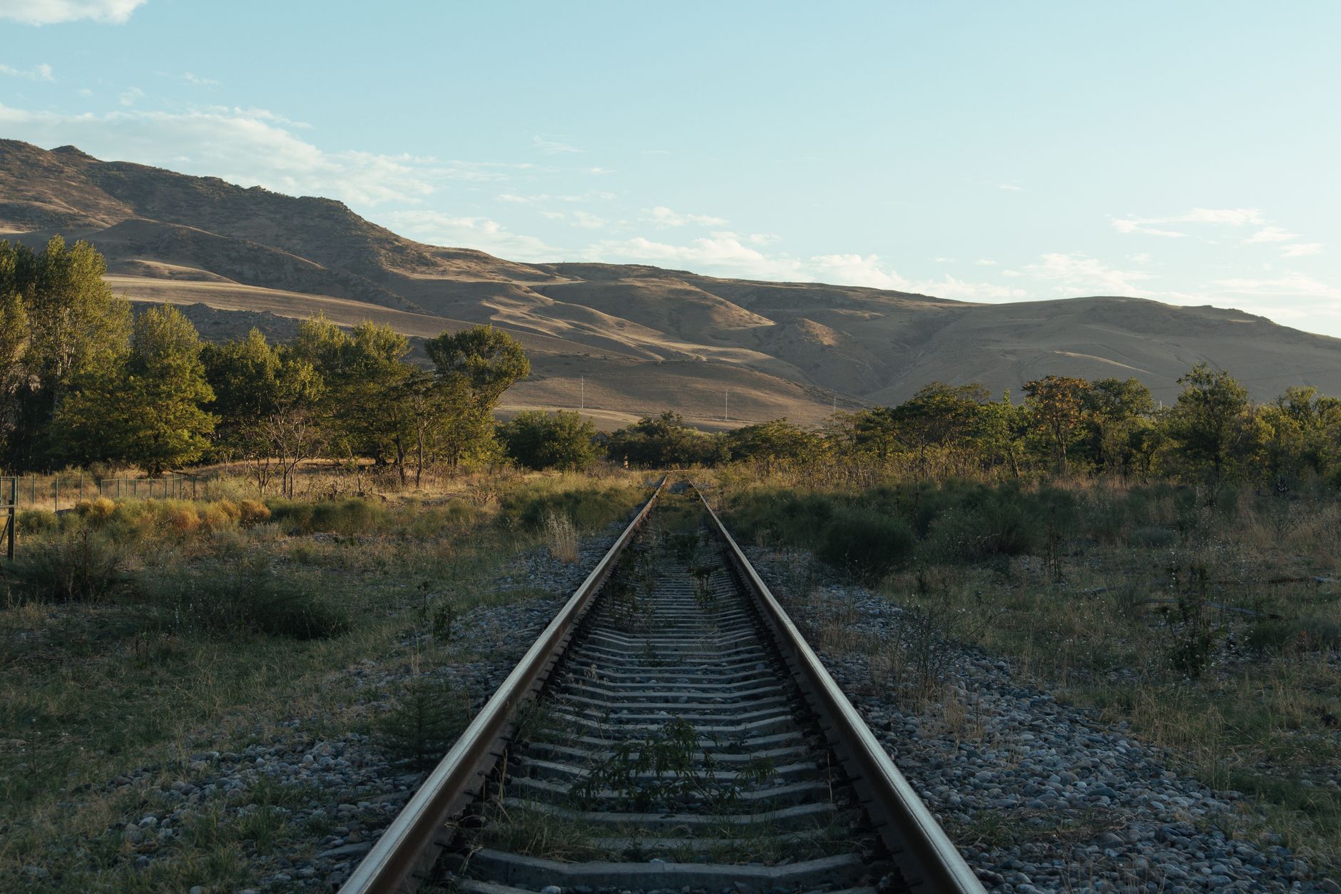
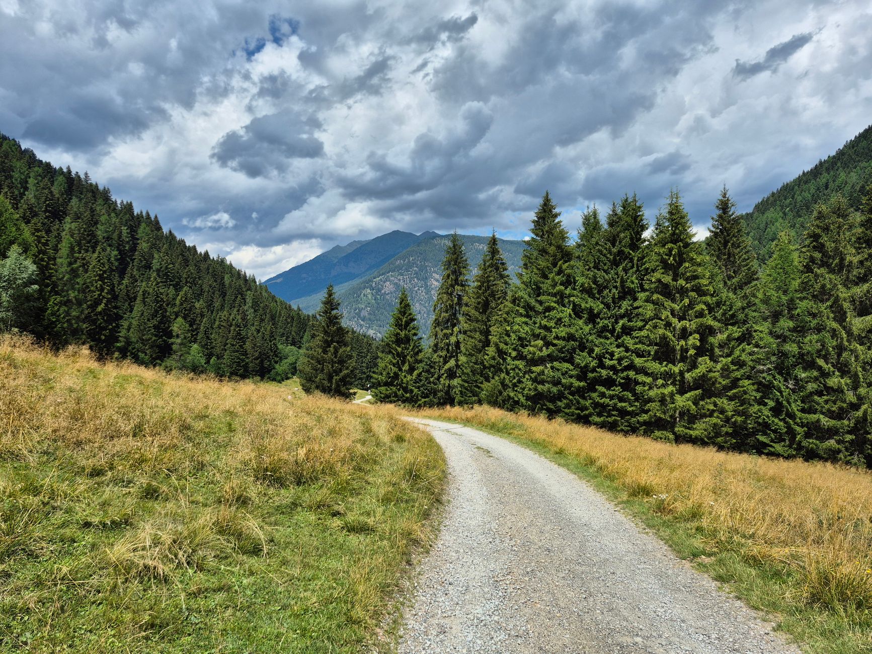
The modern Marshall Pass Road runs about 30 miles, accessible from Sargents off US-50 on the west side, or from south of Poncha Springs along US-285 on the east side. Because the gravel road follows the original railroad grade, it isn’t excessively steep despite crossing a genuine mountain pass — most standard passenger cars can traverse it in good conditions, though rough patches do exist along the way.
Why the Grade Matters for Drivers
A road built to accommodate a steam locomotive can’t have the steep grades a highway engineer might otherwise choose — trains simply can’t climb what cars can. That constraint, dictated by 19th-century railroad engineering rather than modern road design, is exactly why Marshall Pass Road remains manageable for standard vehicles despite crossing a genuine Continental Divide pass.
It’s a neat, if accidental, benefit of the route’s origin story: a road designed around the physical limitations of 1880s steam locomotives happens to translate into a gentler, more approachable drive for modern vehicles more than a century later.
A Ghost Story Attached to the Pass
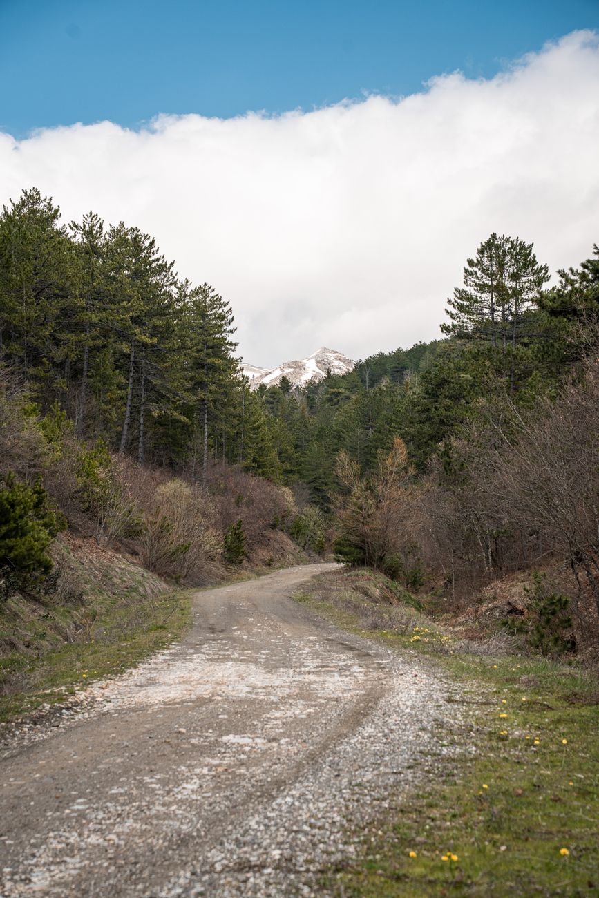
Local history includes stories of a “ghost train” said to be heard along Marshall Pass on certain nights — folklore tied directly to the pass’s railroad history, and a reminder of just how much of this route’s character comes from an era of trains rather than cars.
Whether or not you put any stock in the ghost story itself, it’s a genuinely fitting piece of folklore for a road that so directly traces a decommissioned rail line — the kind of detail that makes a drive here feel different from any other gravel backcountry road nearby.
Before You Drive It
- Fuel up at Poncha Market before starting — there’s no service directly on the pass.
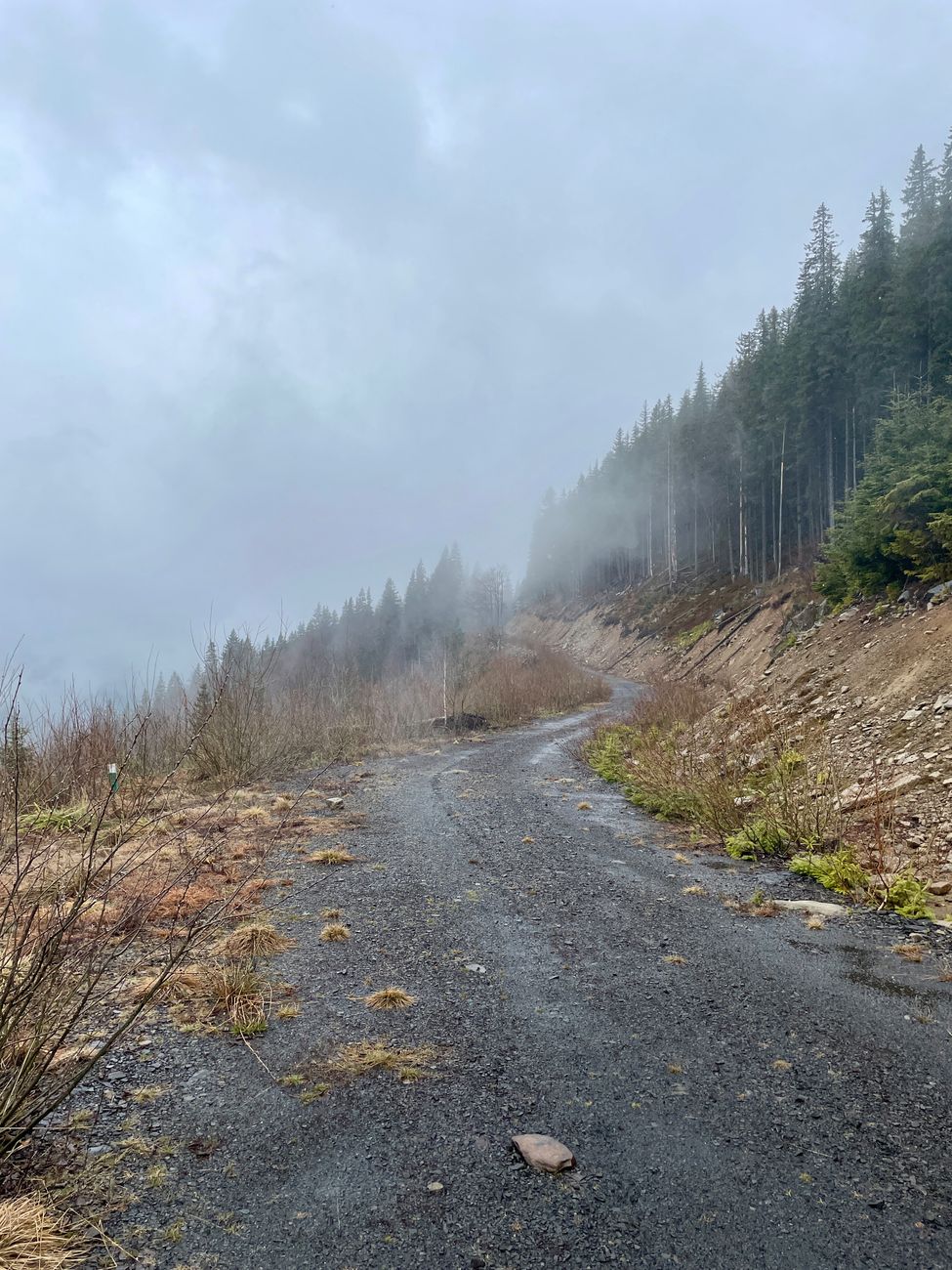
- The road follows a former railroad grade, so grades are moderate, but rough patches and washboarding can still occur; a vehicle in good condition matters more than four-wheel drive for most of the route in dry conditions.
- Cell service is inconsistent in this remote stretch; let someone know your route if you’re driving it solo.
- The road accesses O’Haver Lake Campground, the closest developed campground to Poncha Springs, a couple of miles in from the Poncha Springs side.
Frequently Asked Questions
Is Marshall Pass paved?
No — it’s a graded gravel road, though most passenger cars can traverse it in good conditions since it follows a former railroad grade rather than a steep highway alignment.
How long is Marshall Pass Road?
About 30 miles, connecting Sargents on US-50 to south of Poncha Springs on US-285.
Was Marshall Pass really a railroad?
Yes — a narrow-gauge Denver and Rio Grande Railroad line crossed it starting in 1881, making it the first railroad to cross the Continental Divide in Colorado, before shutting down in 1955.
Does Marshall Pass Road access any campgrounds?
Yes — O’Haver Lake Campground, the closest developed campground to Poncha Springs, sits just off the Marshall Pass Road.
Who built the original Marshall Pass toll road?
Otto Mears, a prolific 19th-century Colorado toll road builder, in 1878, before selling it to the Denver and Rio Grande Railroad the same year.
How long was Marshall Pass the only rail route to Utah?
Roughly a decade, between 1879 and 1890, before other routes were completed.
Is Marshall Pass Road suitable for a standard car?
In good conditions, most standard passenger vehicles can traverse it, since the road follows a former railroad grade with moderate slopes, though rough patches exist.
Heading out on Marshall Pass? Fuel up at Poncha Market first, or check our camping guide for O’Haver Lake details.
For detailed railroad history on this route, see DRGW.net’s Marshall Pass history.


Leave a Reply