
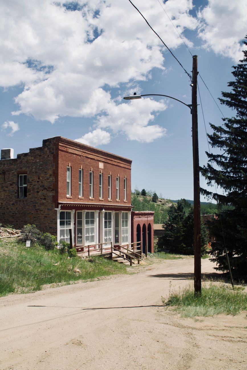
Long before Poncha Market existed as a gas station and deli, the roads through this part of Colorado were built for a different purpose entirely: moving people, ore, and supplies through some of the richest mining country in the American West.
Understanding that history adds real context to a region that can otherwise look like just scenery from a car window — the passes, the old railroad grades, and even some of the town names trace directly back to the mining boom of the late 1800s.
Colorado’s mountain mining boom of the late 19th century reshaped this entire region in ways that are still visible today, from the exact routes highways follow to the reason certain towns exist at all where they do.
This isn’t ancient history in the abstract, either — some of the physical infrastructure from that era, including graded roads and old structures, remains directly usable or visible today, making this one of the more tangible ways to connect with the region’s past while actually road-tripping through it.
The Leadville Boom
Leadville, north of Chaffee County in the upper Arkansas River Valley, became the “Silver Capital of America” after major silver deposits were discovered in 1878, following an earlier gold placer mining boom at California Gulch starting in 1860. By 1880, Leadville’s population had swelled to somewhere between 25,000 and 40,000 people — a staggering number for a Colorado mountain town at that altitude.
The Leadville mining district became the most productive silver-mining district in Colorado history, and its deposits remain among the largest lead-zinc-silver finds in the world. That boom rippled south into Chaffee County, driving demand for transportation routes connecting Leadville to the rest of the territory.
A boomtown population in the tens of thousands, at high altitude, in the late 1800s, required real infrastructure — supply routes, transportation for ore, and eventually rail lines — all of which had to be built through genuinely difficult mountain terrain, using the era’s limited engineering tools and techniques.
Chaffee County’s Own Mining Activity
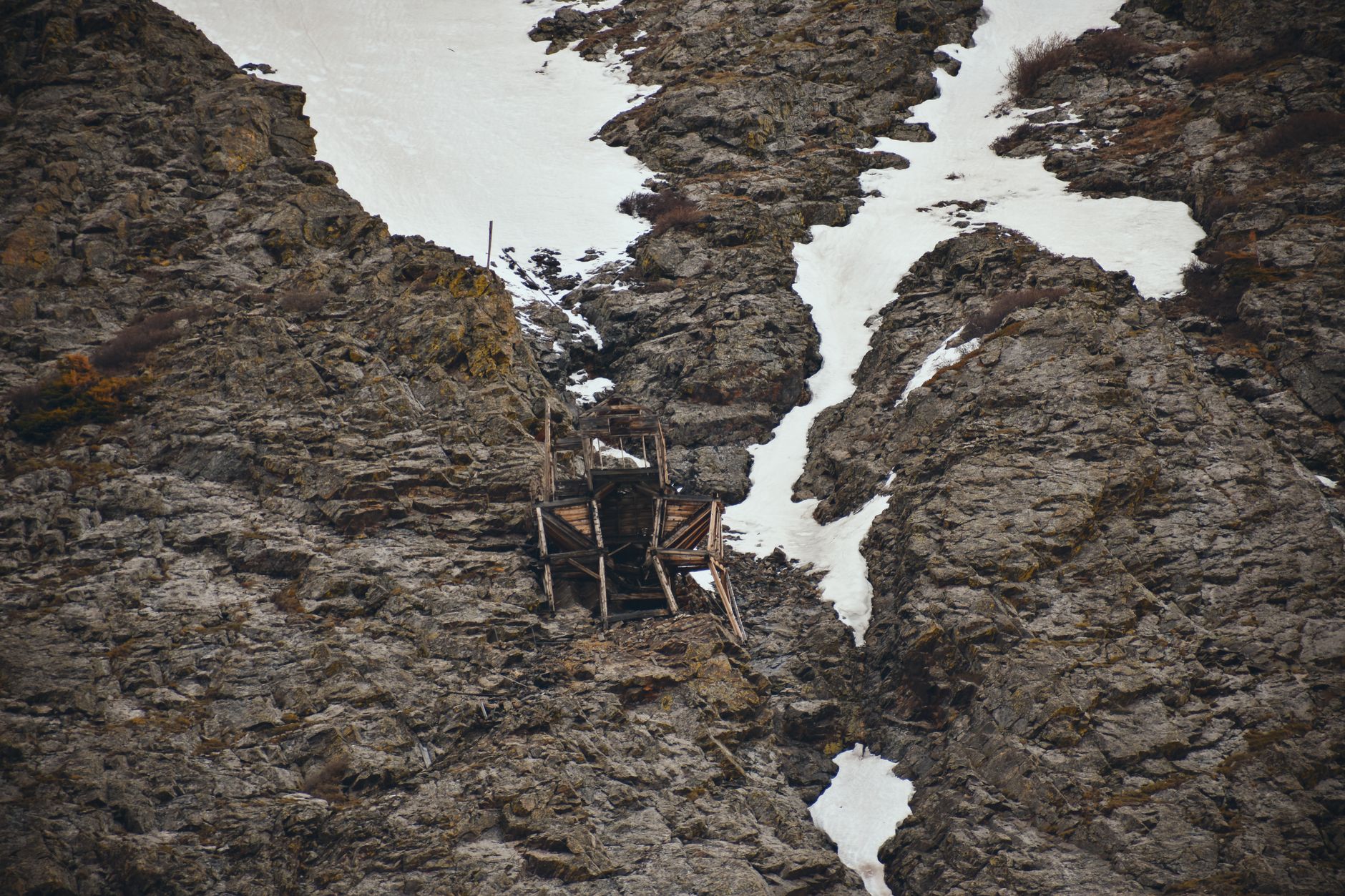
Chaffee County had its own significant mining operations beyond simply serving as a transportation corridor. The New York and Colorado Mining, Developing and Prospecting Company, incorporated in 1881 by a group of Leadville businessmen, operated numerous claims throughout the area, including the Bluebird, Highland Girl, Bristol, Last Dollar, and several others with similarly colorful names typical of the era.
Mount Antero, one of the fourteeners visible from Poncha Springs, has its own distinct mining legacy centered on gems rather than precious metals — a mining tradition around smoky quartz and aquamarine that continues in a smaller, more recreational form today.
That gem-mining tradition is genuinely unusual among Colorado’s fourteeners, most of which have mining histories tied to silver, gold, or industrial metals rather than gemstones. It’s part of what makes Antero’s specific history worth knowing beyond just its elevation and difficulty rating.
Rockhounds still visit the area today specifically for the chance to find loose gem material on the mountain’s slopes, a genuinely different draw than the summit-focused hikers covered in our Sawatch 14ers guide, even though both groups are climbing the same mountain.
That dual identity — a genuine fourteener summit hike and a working gem-hunting destination in one — is fairly rare among Colorado’s high peaks, and it’s part of why Antero draws a noticeably different crowd than its neighboring mountains do.
Understanding this history also explains details visitors might otherwise miss while driving through — why certain roads exist where they do, why some place names sound like they came straight from a 19th-century prospector’s notebook, and why a region this remote developed the infrastructure it has today.
For travelers with a genuine interest in Western history rather than just scenery, this stretch of Colorado rewards slowing down and reading the landscape a bit more carefully than a typical mountain drive requires.
That same history connects directly to several of the other stops covered elsewhere in this series — the Marshall Pass Road, Salida’s historic downtown, and even the fourteeners themselves all trace back to this same era of rapid mining-driven development.
How Mining Shaped the Roads You Drive Today
Marshall Pass, whose access road begins just south of Poncha Springs, started as a toll stage road built by Otto Mears in 1878 before becoming a narrow-gauge railroad grade connecting Poncha Springs to the mining areas around Gunnison. The gravel road that exists today largely follows that original railroad alignment — a direct physical link between the mining era and the roads travelers use now.
What’s Left to See Today
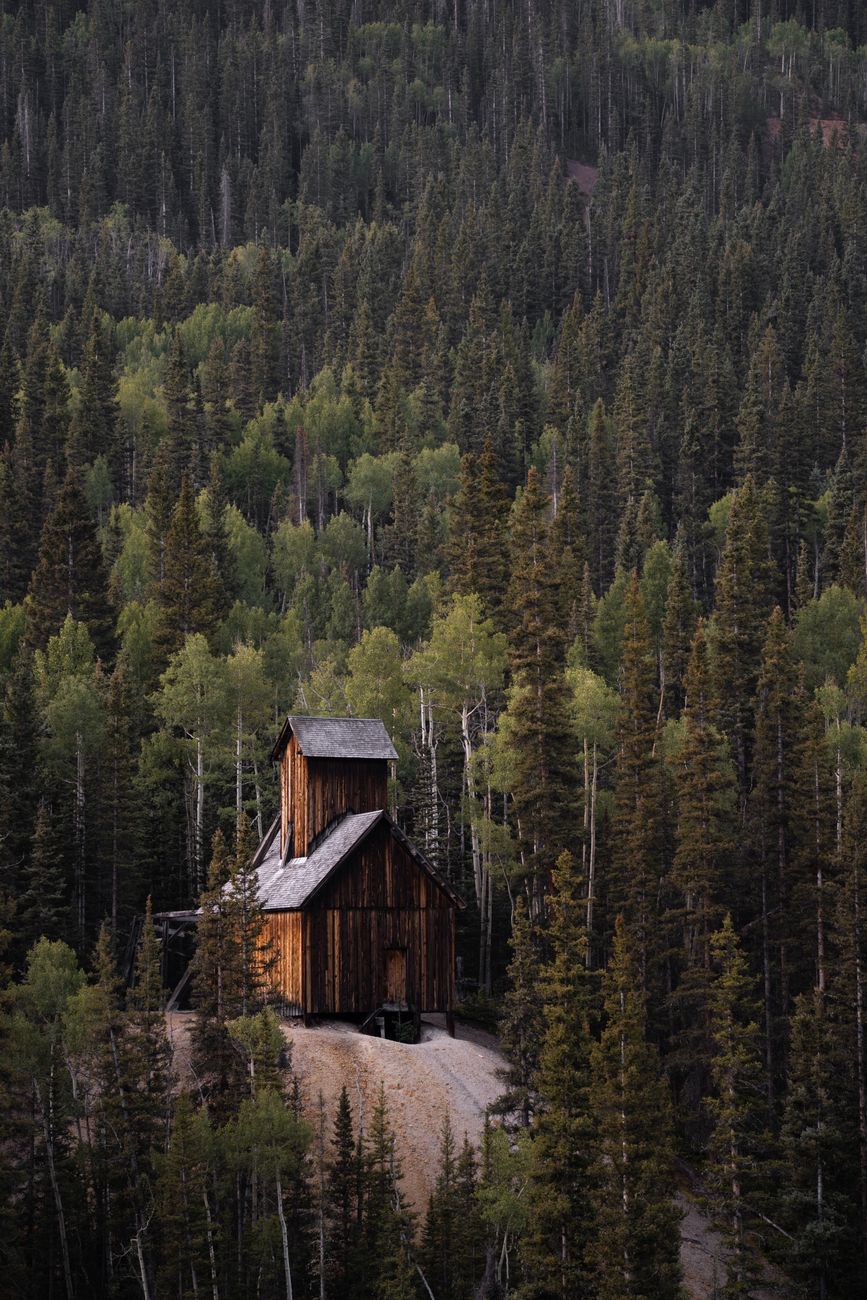
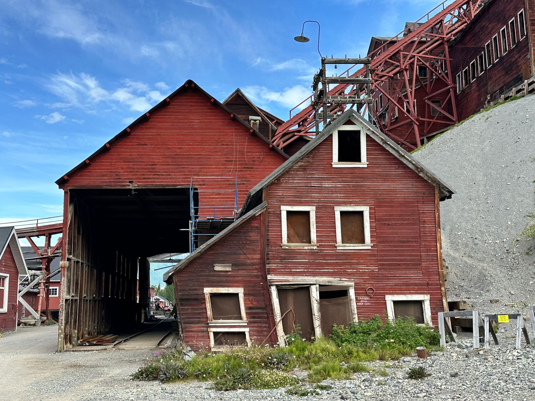
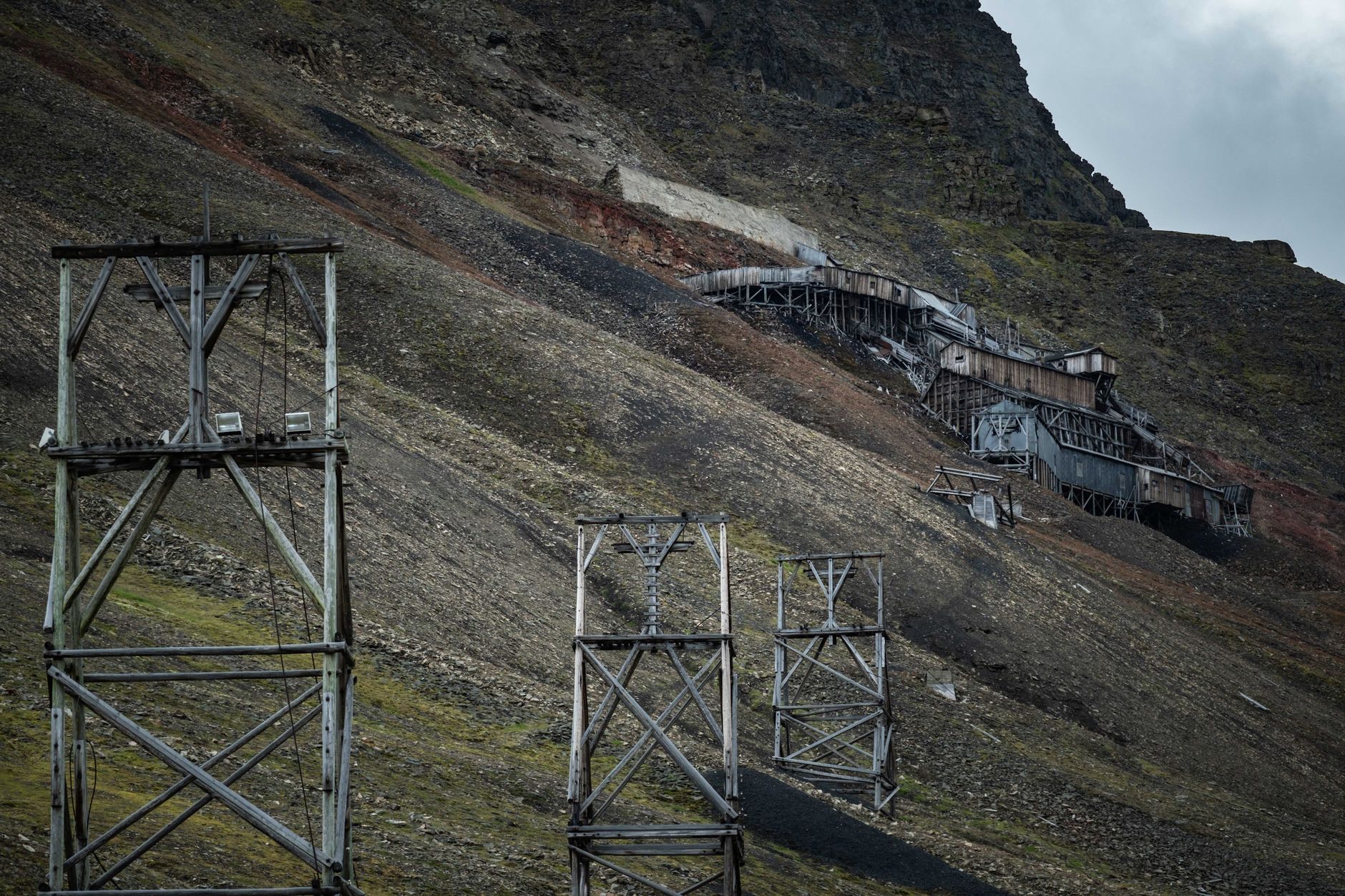
- Scattered abandoned mine structures and headframes remain visible on public land throughout the surrounding mountains, though many are on private claims and should be viewed from a respectful distance.
- Historic building facades in Salida’s downtown reflect the same era of regional prosperity that mining brought to the wider area.
- The Marshall Pass Road itself is a drivable piece of that history, following the graded route of the old narrow-gauge railroad.
A Practical Note on Old Mine Sites
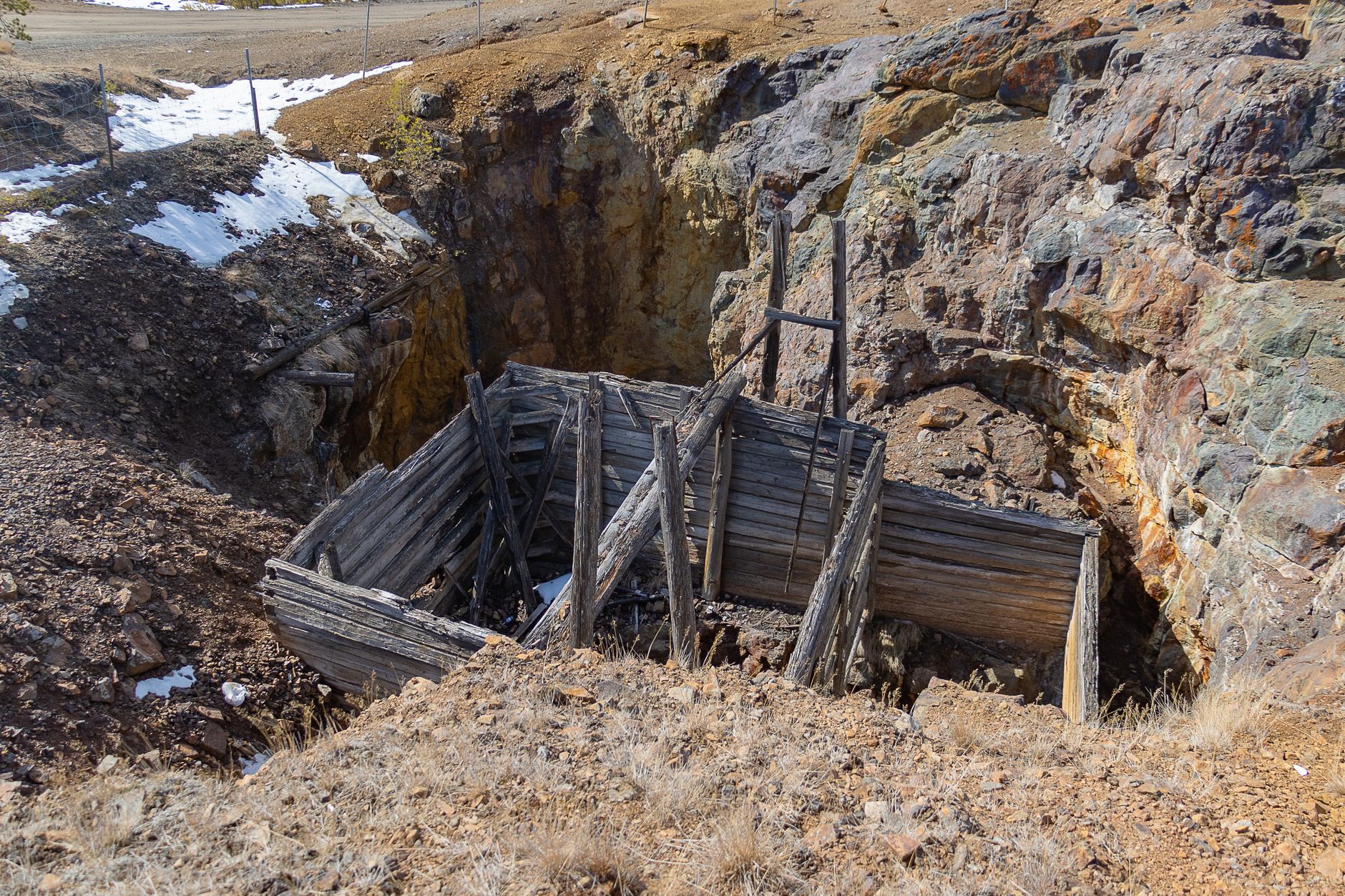
Abandoned mine shafts and structures throughout Colorado’s mountains are frequently unstable and dangerous, and many sit on private mining claims that remain legally active even if visibly abandoned. Admiring them from a distance rather than exploring the structures directly is both safer and more respectful of property that, in many cases, is still technically owned and claimed.
Frequently Asked Questions
What mineral made Leadville famous?
Silver, discovered in 1878, though the district began as a gold placer mining settlement in 1860.
Is Mount Antero still mined today?
Yes, in a smaller, more recreational form — it remains known for gem mining, particularly smoky quartz and aquamarine.
Is Marshall Pass connected to mining history?
Yes — it began as a toll road and later became a narrow-gauge railroad grade connecting Poncha Springs to mining areas near Gunnison. See our Marshall Pass guide.
Can I visit old mine sites near Poncha Springs?
Many are visible from public roads and trails, but old mine structures are frequently unstable and often sit on active private claims — view from a distance rather than exploring directly.
How did mining shape Chaffee County’s roads?
Several modern routes, including the Marshall Pass Road, directly follow historic toll roads and railroad grades built to serve the region’s 19th-century mining boom.
What is the New York and Colorado Mining Company?
An 1881 company incorporated by Leadville businessmen to operate numerous mining claims throughout Chaffee County, including claims with names like the Bluebird and Highland Girl.
Is it safe to explore old mine sites?
Generally no — abandoned mine structures are frequently unstable, and many sit on private claims that remain legally active. View from a distance rather than entering.
Curious about Marshall Pass? See our full guide to its railroad history and scenic road.
For deeper regional history resources, see History Colorado.



Leave a Reply