
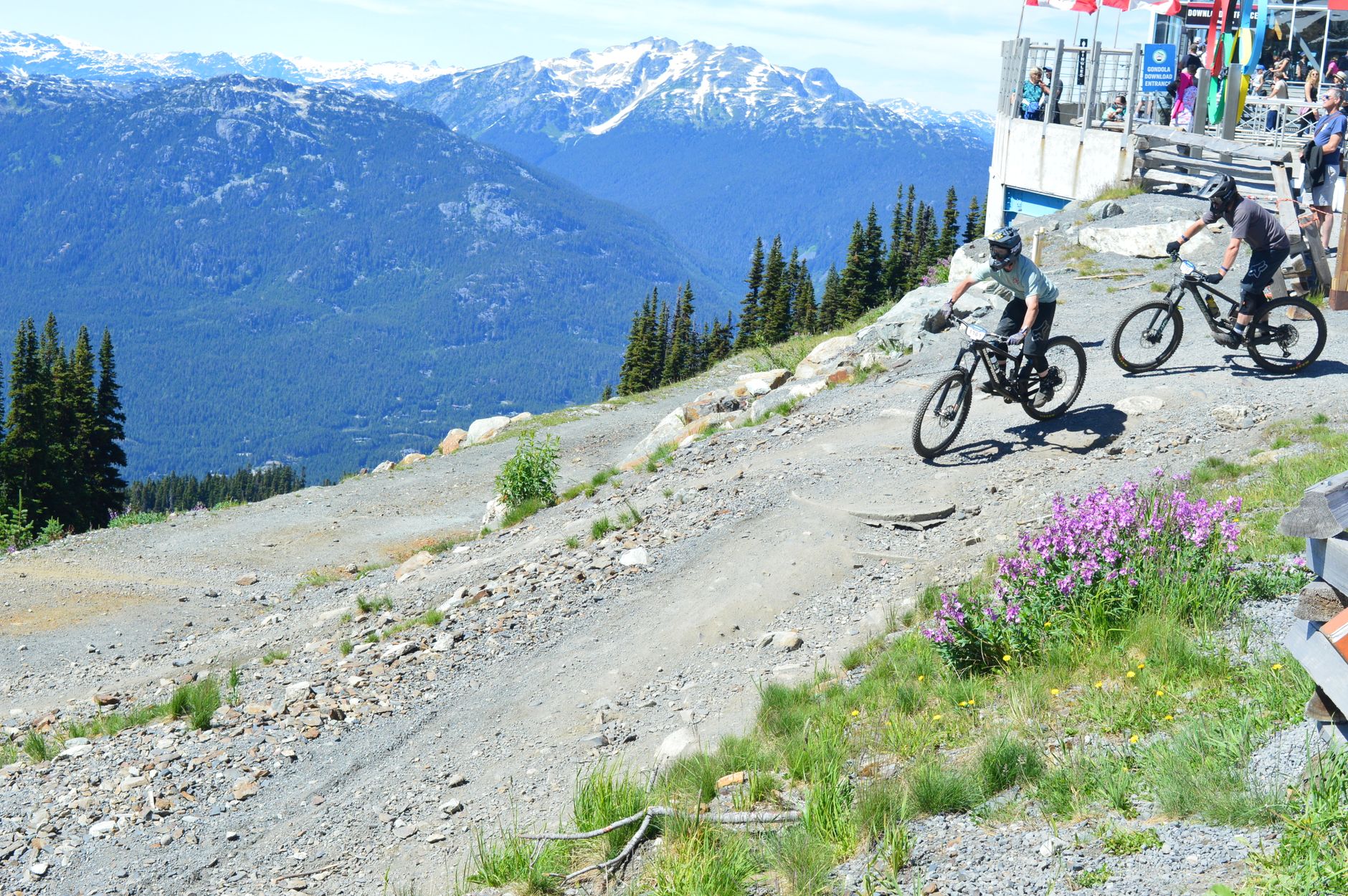
Ask mountain bikers about Colorado’s best rides, and the Monarch Crest Trail comes up constantly. It descends from the summit of Monarch Pass, just west of Poncha Market in Poncha Springs, down toward Salida — one of the most celebrated stretches of singletrack in the state.
This guide covers what the ride actually involves, the route options, and how to plan a day around it, whether you’re an experienced rider chasing the full classic or looking for a shorter taste of it.
It’s worth saying up front why this specific trail has the reputation it does. Colorado has no shortage of scenic mountain biking, but few rides combine sustained high-altitude singletrack, genuinely long descents, and easy access from a real highway junction the way the Crest does. That combination is rare enough that riders plan entire trips around it.
What Is the Monarch Crest Trail, Exactly?
“The Crest” isn’t a single trail so much as a connected network of trails that descend from the top of Monarch Pass down to Poncha Springs and Salida. It’s widely recognized as one of the most popular mountain biking routes in Colorado, drawing riders from well outside the state specifically to ride it.
The trail runs at very high altitude for nearly its entire length, following the Continental Divide before dropping through forest and meadow terrain toward the valley floor. It’s officially designated as part of the Continental Divide Trail corridor in this stretch of the Pike-San Isabel National Forest.
What makes the ride distinctive isn’t just the elevation — it’s the variety packed into one continuous descent. Riders start above treeline along an exposed alpine ridge, drop into subalpine forest, and eventually reach lower-elevation meadows and aspen groves near the valley floor, all in a single point-to-point run rather than a series of separate, disconnected trail segments.
Route Options: Classic vs. Shorter Rides
| Route | Distance | Time | Shuttle Needed? |
|---|---|---|---|
| The Classic | 35 miles | Full day | Yes |
| Shorter out-and-back | 19 miles | 3–3.5 hours | No |
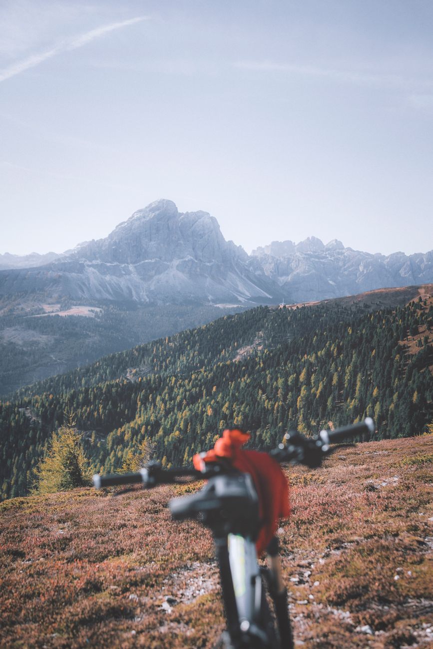
The full Classic route is a serious undertaking — nearly 3,000 vertical feet of climbing along the way despite the overall descent, at altitudes most riders aren’t used to training at. The shorter 19-mile out-and-back option skips the shuttle logistics entirely and still delivers a real taste of the high-altitude singletrack that makes this trail famous.
Neither option should be underestimated based on distance alone. Even the shorter route sits at an elevation where most riders will notice reduced stamina compared to sea level, and both routes involve enough technical singletrack that a bike in good working order and a rider comfortable with rocky, exposed terrain matter more than raw distance covered.
Getting There and Shuttle Services
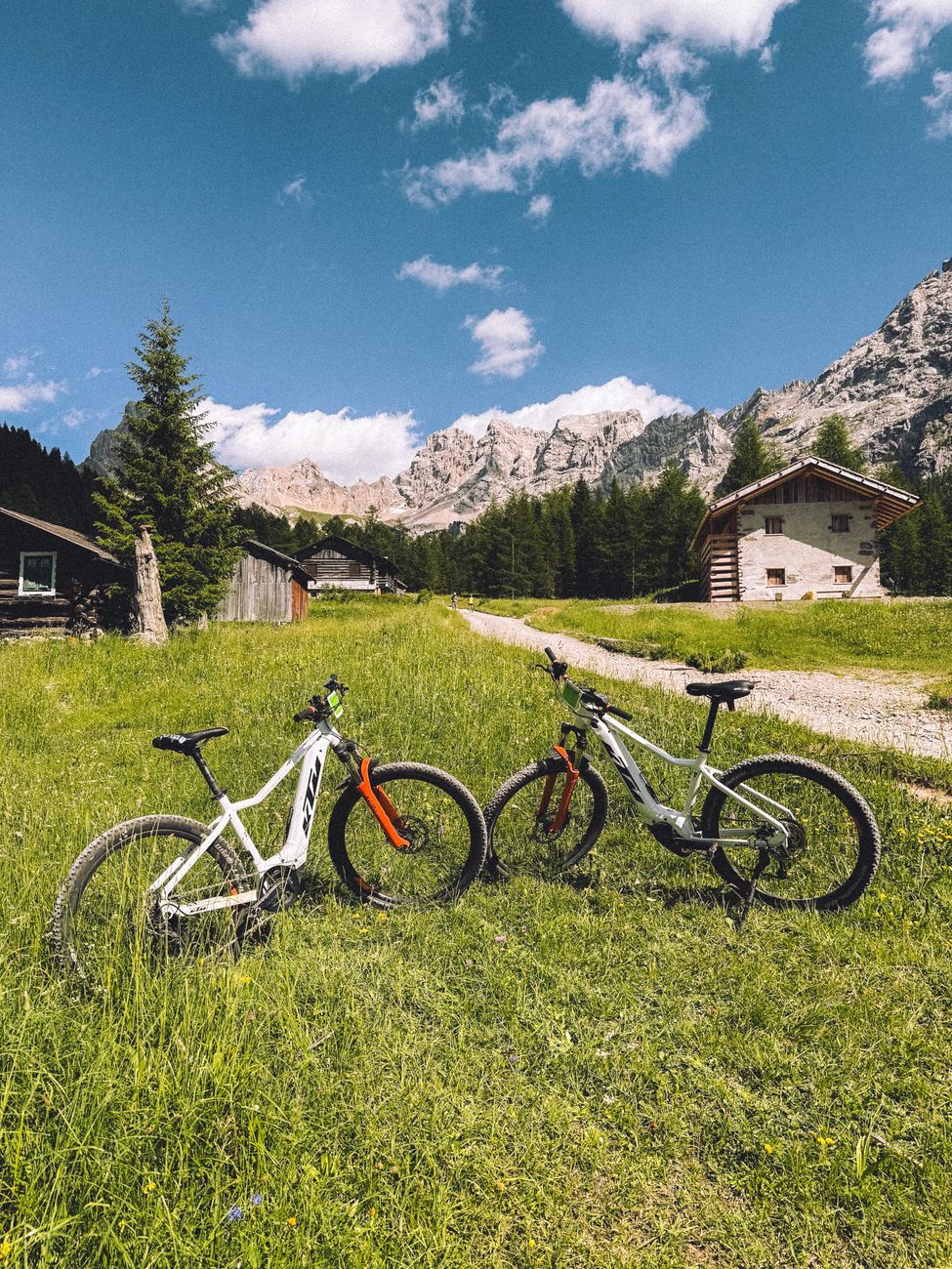
From Salida, it’s roughly a 30-minute drive to the mountain bike trailheads at the summit of Monarch Pass. Because the full Classic route is point-to-point rather than a loop, most riders either arrange a shuttle or leave a second vehicle at the bottom. A couple of local companies — Absolute Bikes in Salida and a shuttle service based in Poncha Springs — run paid shuttles specifically for this ride, which removes most of the logistical headache of a point-to-point trail.
Booking a shuttle in advance, especially during peak summer weekends, is worth doing rather than assuming a same-day spot will be available. These services exist specifically because of how popular this exact ride is, and demand during good-weather stretches can outpace last-minute availability.
When Can You Ride It?
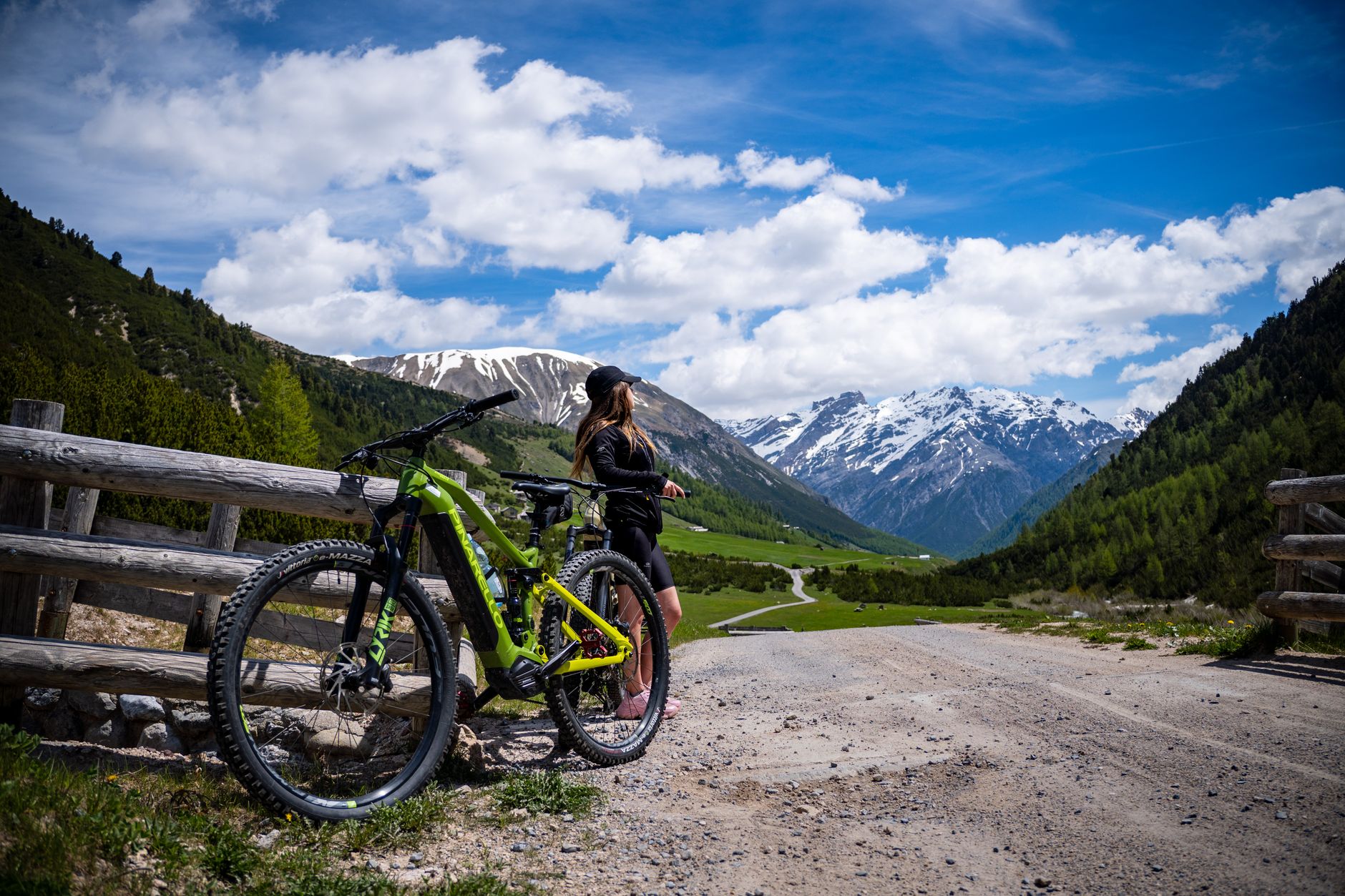
The trail is closed by winter snow from roughly November through June, which means the riding season is genuinely tied to the calendar rather than year-round like some lower-elevation trails. Late summer into early fall, once the trail has fully melted out and before the first real snow, is generally considered the most reliable stretch.
Early season riders should expect lingering snow patches on shaded, higher sections of the route even after the trail has technically opened, particularly in a heavy snow year. Checking current trail conditions before committing to a shuttle booking is a reasonable precaution rather than an overreaction, since conditions can vary meaningfully from one week to the next in late spring.
Difficulty and Who It’s Actually For
- This is a long, high-altitude, point-to-point ride best suited to riders with real fitness and technical singletrack experience, not a casual first mountain bike outing.
- The altitude itself is a factor independent of fitness level — riders coming from lower elevations should expect the thin air to affect their effort more than it would at sea level.
- The shorter 19-mile option is a more approachable way to experience the trail without committing to the full Classic and its shuttle logistics.
- Weather at this elevation can change quickly; an early start reduces the chance of getting caught in an afternoon storm well above treeline.
Fueling Up Before and After
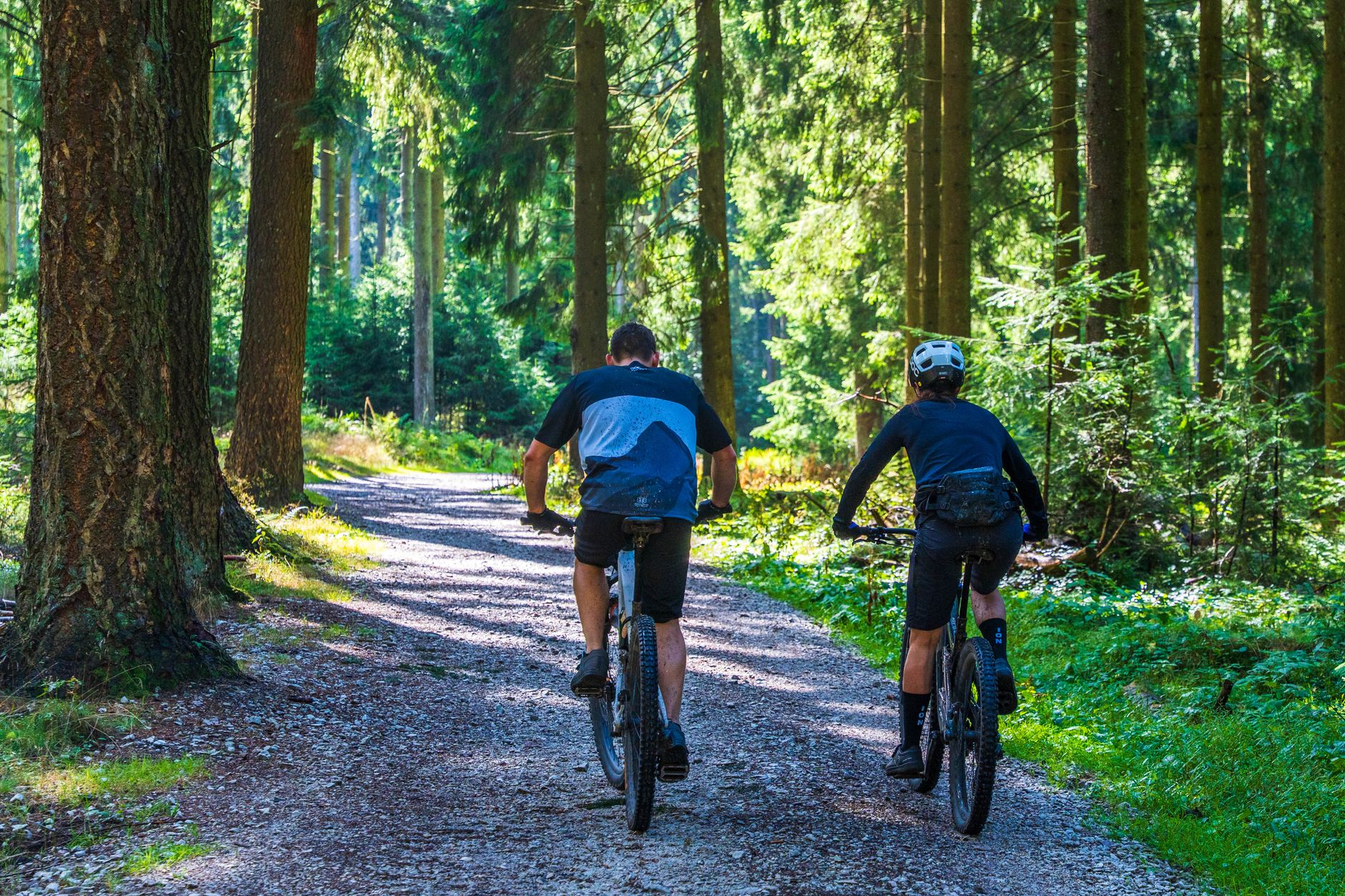
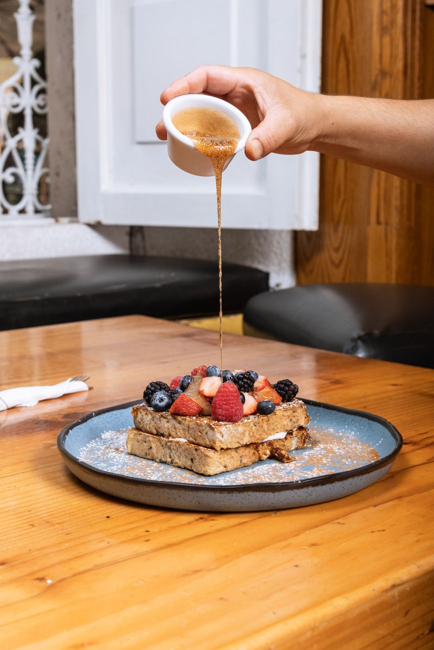
Poncha Market, at the base of the pass, is a practical stop either before an early shuttle pickup or after a long day on the trail — fuel, restrooms, and a real meal at Mabel’s Deli rather than whatever’s left in a hydration pack by the time you’re off the mountain.
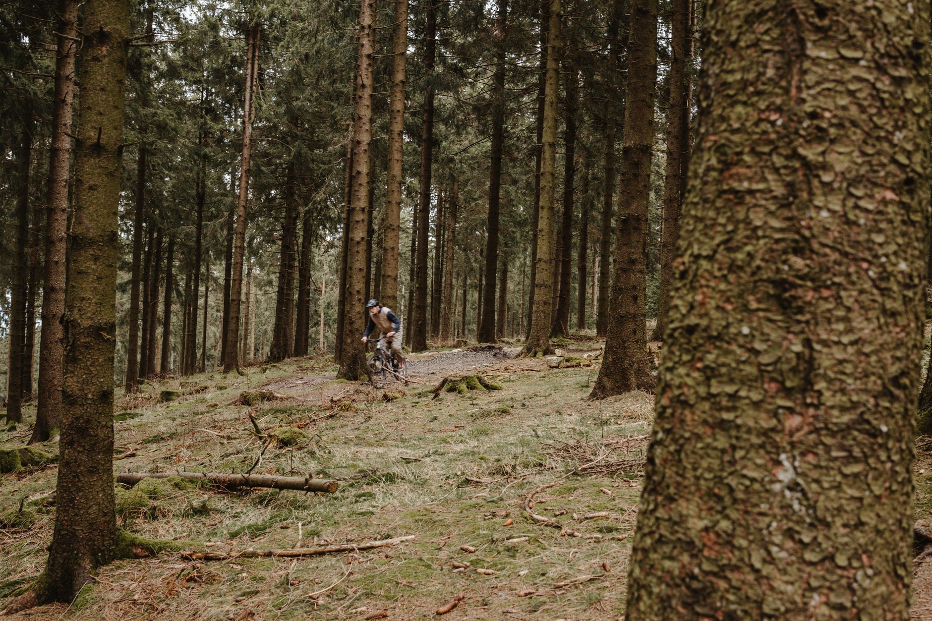
After a full day of high-altitude riding, a proper meal matters more than it might after a shorter, lower-elevation ride — the combination of elevation, exertion, and a long day in the saddle burns through energy reserves faster than most riders expect, and refueling well makes the drive home considerably more comfortable.
It’s also worth topping off water before you head to the trailhead rather than assuming you’ll find a refill point partway through the ride — there isn’t one along most of the route, and dehydration compounds quickly at this altitude on a physically demanding ride.
Frequently Asked Questions
How long is the Monarch Crest Trail?
The full Classic route is about 35 miles; a shorter 19-mile out-and-back option is also popular and doesn’t require a shuttle.
Do I need a shuttle to ride the Crest?
For the full point-to-point Classic route, yes — most riders use a paid shuttle service or a second vehicle. The shorter out-and-back option doesn’t require one.
When is the Monarch Crest Trail open?
Typically from around June through November, depending on snowpack; it’s closed by snow the rest of the year.
Is the Monarch Crest Trail beginner-friendly?
Not really — it’s a long, high-altitude ride best suited to riders with genuine fitness and technical experience. The shorter out-and-back option is more approachable but still demanding.
Where should I fuel up before riding?
Poncha Market, at the base of Monarch Pass, is a practical stop for gas, food, and restrooms before or after a ride.
How much climbing is involved on the full Classic route?
Roughly 3,000 vertical feet, despite the overall net descent — a reminder that this isn’t a purely downhill ride even on the point-to-point Classic route.
Can I ride the Monarch Crest Trail without a shuttle?
Yes, using the shorter 19-mile out-and-back option, which doesn’t require shuttle logistics or a second vehicle.
Planning a ride? Check our Monarch Pass driving guide for the drive up, or fuel up at Mabel’s Deli afterward.
For detailed trail maps, reviews, and current conditions, see Singletracks’ Monarch Crest Trail guide.


Leave a Reply